The best cycling routes around Río Guadiana Menor - Tramo Inferíor
5.0
(5)
212
riders
18
rides
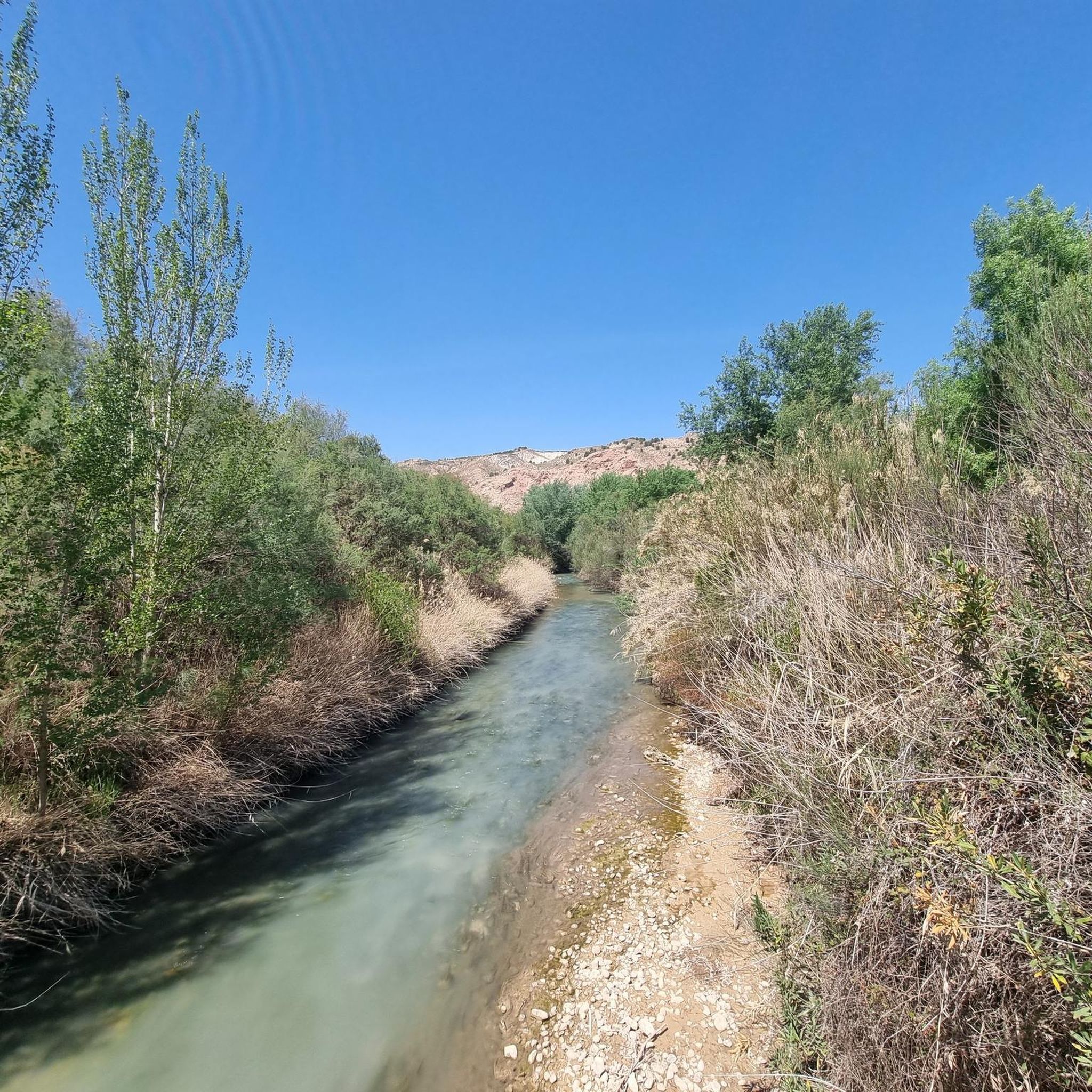
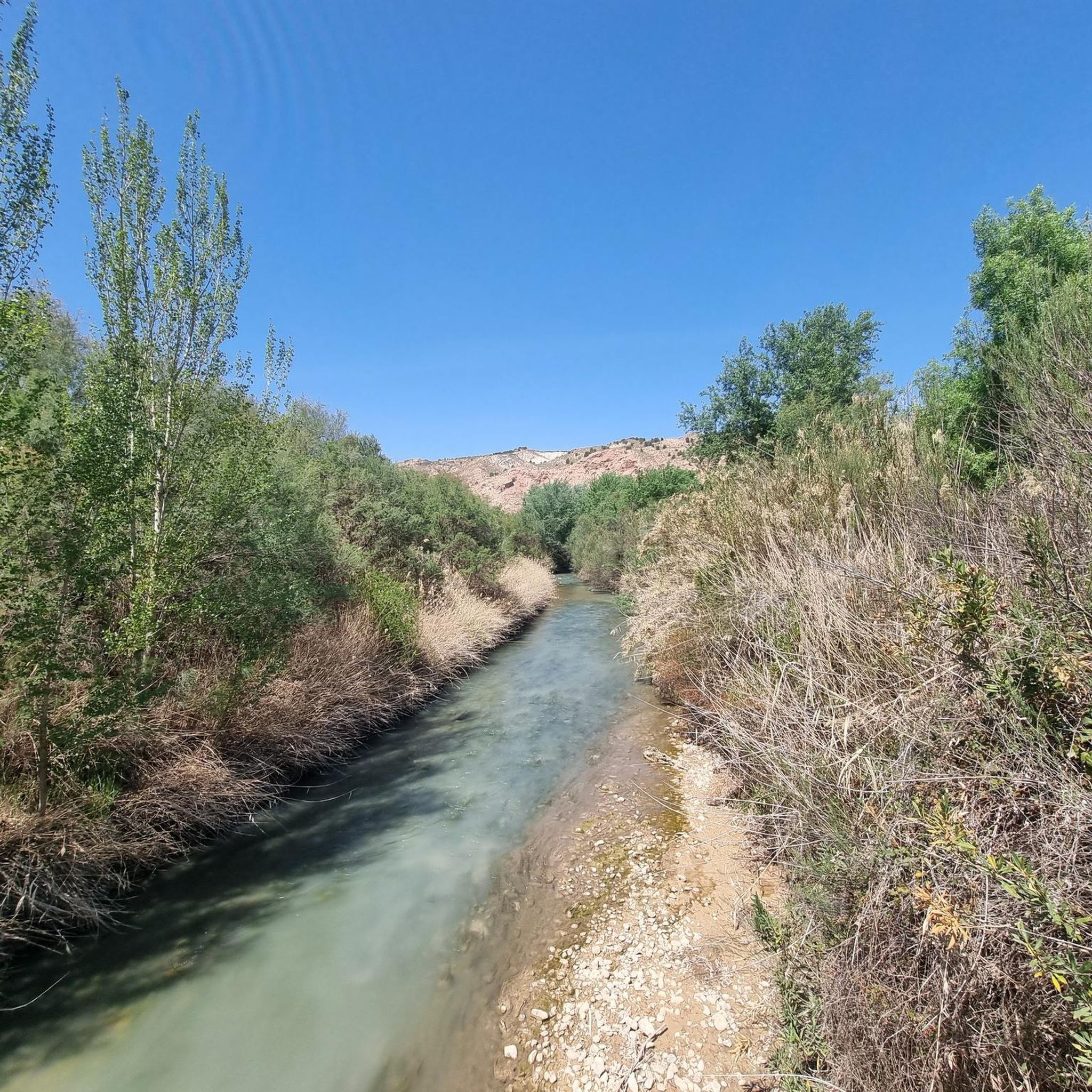
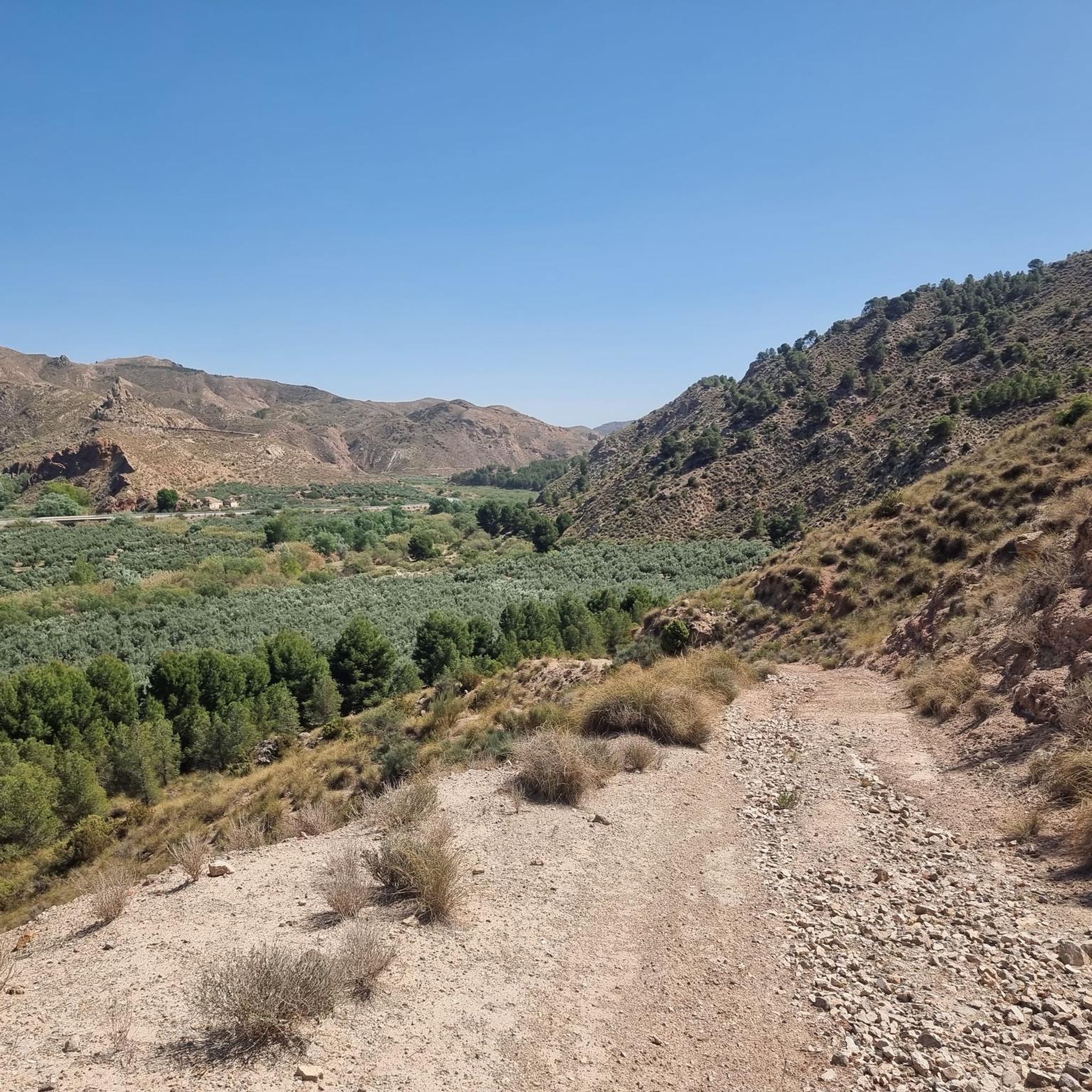
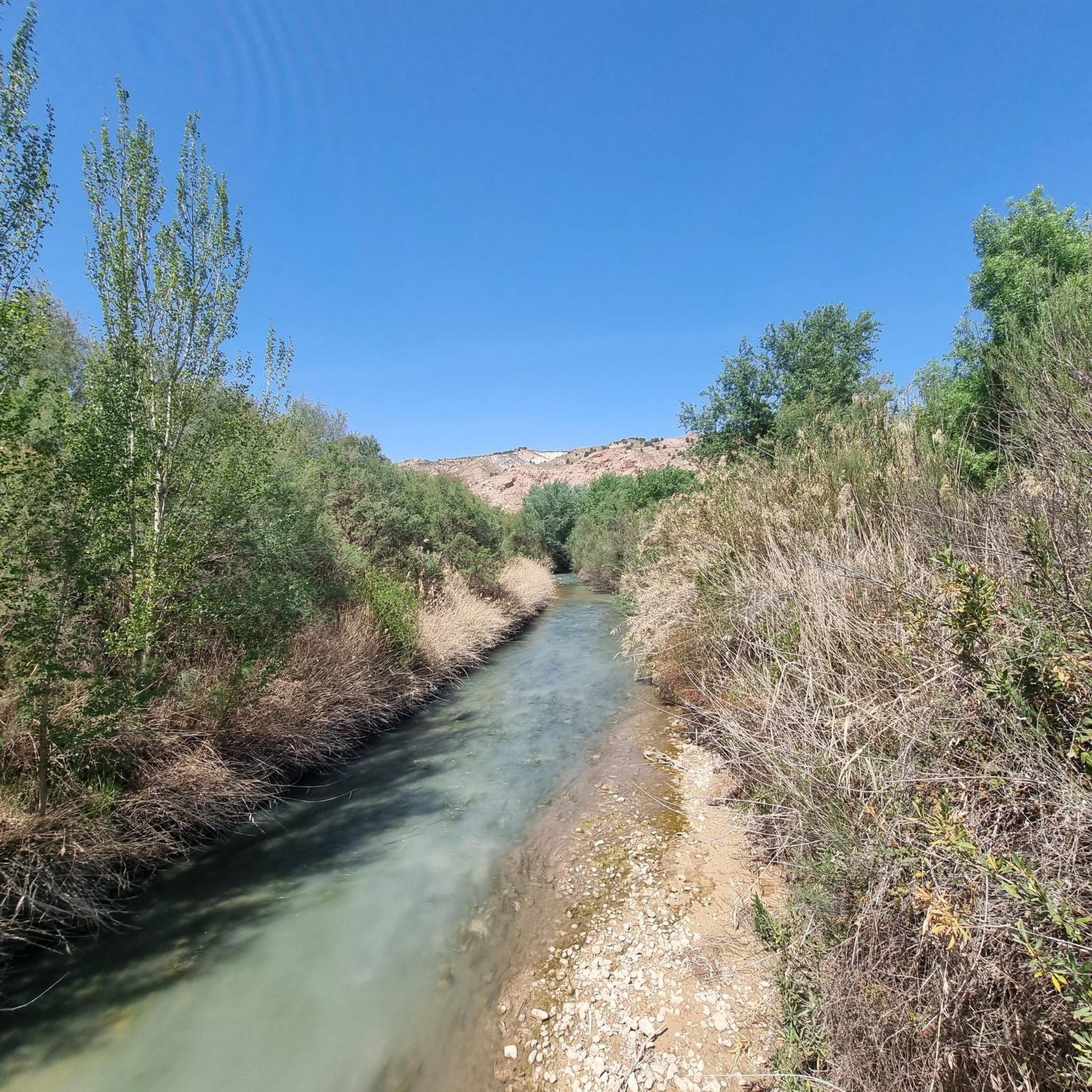
Touring cycling routes around Río Guadiana Menor - Tramo Inferíor traverse a landscape characterized by a transition from rolling countryside and hills to the fertile plain of the Guadalquivir. The region features a narrow, natural riverine corridor, often passing through arid and semi-arid areas, yet sustaining unique ecosystems. Notable geological formations include badlands and ravines, particularly around the Negratín reservoir, which adds a distinct body of turquoise water to the fluvial scenery. Riparian forests contrast with extensive steppe plateaus, offering…
Last updated: July 10, 2026
34
riders
85.0km
06:46
1,790m
1,790m
Hard bike ride. Very good fitness required. Mostly paved surfaces. Suitable for all skill levels.
11
riders
36.3km
02:27
610m
610m
Hard bike ride. Very good fitness required. Mostly paved surfaces. Suitable for all skill levels.

Sign up for free
14
riders
56.1km
04:51
1,460m
1,460m
Hard bike ride. Very good fitness required. Mostly paved surfaces. Suitable for all skill levels.
10
riders
60.0km
06:42
2,210m
2,200m
Hard bike ride. Very good fitness required. Mostly paved surfaces. Suitable for all skill levels.
9
riders
48.7km
03:33
1,090m
1,090m
Hard bike ride. Very good fitness required. Mostly paved surfaces. Suitable for all skill levels.
6
riders
40.5km
03:44
640m
640m
Hard bike ride. Very good fitness required. Mostly paved surfaces. Suitable for all skill levels.
4
riders
33.7km
02:44
530m
530m
Hard bike ride. Very good fitness required. Mostly paved surfaces. Suitable for all skill levels.
5
riders
18.6km
01:09
200m
190m
Moderate bike ride. Good fitness required. Mostly paved surfaces. Suitable for all skill levels.
5.0
(1)
4
riders
116km
09:19
2,210m
2,210m
Hard bike ride. Very good fitness required. Mostly paved surfaces. Suitable for all skill levels.
7
riders
120km
08:08
1,980m
1,980m
Hard bike ride. Very good fitness required. Mostly paved surfaces. Suitable for all skill levels.
Get access to more routes and recommendations from other explorers.
Sign up for free
Already have an account?
Our route recommendations are based on thousands of hikes, rides, and runs completed by other people on komoot.
Start today with a free account
Your next adventure awaits.
Login or Signup
Tips from the Community

El Refugio del Collado Zamora (often associated with the route to Gilillo) is a rehabilitated forest refuge located in the Sierra de Cazorla, key to the GR-247 trail. It is frequently used as a starting point or stopover to ascend to Gilillo or connect to areas such as Cuerda del Gilillo.
0
0

Added to the collection: https://www.komoot.com/de-de/collection/3600632/-naturdenkmaeler-besondere-baeume-und-weitere-schaetze-der-natur
0
0

Cazorla is a gateway to the vast Sierras de Cazorla, Segura y Las Villas Natural Park, renowned for its natural beauty, rich biodiversity and the Guadalquivir River which rises there
15
0


Cerro Aznatín de Albanchez is a prominent mountain peak with an elevation of approximately 1,732 metres (5,700 ft), located in the municipality of Albanchez de Mágina in the province of Jaén, Spain. It is one of the three "Aznatín" peaks in the region and is known for its striking appearance, especially when viewed from the east or the Guadalquivir Valley.
8
0
Away from it all in the "wilderness". Indescribably beautiful scenery! The olive trees near Jódar thrive in the region's Mediterranean climate, with warm summers and mild winters. The trees are hardy and can survive temperatures as low as -12°C, making them very suitable for the local conditions.
7
0
This beautiful village, surrounded by olive groves, is located at the foot of the Sierra Magina mountain range, with olive trees on one side and mountains on the other. The village, the most populated in the park, extends over a hill under the watchful eye of a beautiful castle, which is also part of the historical artistic site. It also has a beautiful parish church. The municipality is located in the Sierra Magina Natural Park, part of the Subbetic region, which offers beautiful and spectacular views. As for the vegetation, holm oaks and gall oaks are common, as well as pines and salgareños. The rich and varied flora and fauna are also important. Part of the Alto Guadalquivir nature reserve, an important wetland of great ecological importance, is also located in the district.
7
0
The Mirador de la Barranda is a beautiful viewpoint in Quesada located within the old fortified walls (Murallas de Quesada). From this viewpoint you have a panoramic view of the surrounding area, including the Sierras de Cazorla, Segura y Las Villas and the extensive campiña.
9
0
Frequently Asked Questions
How many touring cycling routes are available in Río Guadiana Menor - Tramo Inferíor?
There are 11 touring cycling routes available in the Río Guadiana Menor - Tramo Inferíor region, offering a diverse range of experiences for cyclists.
What is the general difficulty level of touring cycling routes in this region?
The majority of touring cycling routes in Río Guadiana Menor - Tramo Inferíor are considered difficult, with 9 out of 11 routes falling into this category. There are also 2 moderate routes, but no easy options. Cyclists should be prepared for significant climbs and varied terrain.
What kind of terrain can I expect while touring cycling in Río Guadiana Menor - Tramo Inferíor?
The region offers a diverse landscape for touring cyclists. You can expect a transition from rolling countryside and hills to the fertile plain of the Guadalquivir. Notable features include badlands and ravines, especially around the Negratín reservoir, as well as riparian forests along the river and extensive steppe plateaus. While many surfaces are paved, some segments may be unpaved and more demanding.
Are there any circular touring cycling routes in Río Guadiana Menor - Tramo Inferíor?
Yes, all the touring cycling routes listed for Río Guadiana Menor - Tramo Inferíor are circular loops. For example, you can explore the Cazorla – Cazorla loop from Peal de Becerro or the challenging Collado Zamora Refuge – Pine of the Crosses loop from Castillo de Tiscar.
What are some notable natural features or landmarks I might encounter on a touring cycling route?
Cyclists will encounter unique natural features such as the distinctive badlands and ravines, particularly around the Negratín reservoir, which is known for its turquoise water. Riparian forests contrast with extensive steppe plateaus. Geologically, the area is part of the Granada Geopark. For a route with significant elevation gain and mountainous terrain, consider the Puerto de Tíscar – Collado Zamora Refuge loop from Castillo de Tiscar.
What is the best time of year to go touring cycling in Río Guadiana Menor - Tramo Inferíor?
Given the region's arid and semi-arid characteristics, spring and autumn are generally the most pleasant seasons for touring cycling. Temperatures are milder, making longer rides more comfortable. Summers can be very hot, and winters can bring cooler temperatures, especially at higher elevations.
Are there any routes that offer spectacular mountain views?
Yes, routes like the Puerto de Tíscar – Collado Zamora Refuge loop from Castillo de Tiscar lead through mountainous terrain with significant elevation gain, offering spectacular views of the surrounding landscape.
Can I expect to see any wildlife while cycling in the area?
The unique ecosystems along the Río Guadiana Menor support diverse wildlife. You might spot various birdlife, including kingfishers and eagles, as well as otters and different fish species in the river. The area also boasts specialized sub-desertic vegetation with numerous endemic species.
What do other touring cyclists enjoy most about touring cycling in Río Guadiana Menor - Tramo Inferíor?
The area is highly rated by the komoot community, with an average score of 5.0 stars from over 3 reviews. Cyclists often praise the diverse terrain, from rolling hills and riparian forests to the distinctive badlands and challenging ascents that offer rewarding views.
Are there any routes that traverse the badlands?
Yes, the region is known for its badlands. The Quesada – Badlands Gravel Path loop from Belerda is a long and challenging route that specifically highlights this unique geological feature, offering a distinct cycling experience.
What are the typical elevation gains on these touring cycling routes?
Many routes in Río Guadiana Menor - Tramo Inferíor feature significant elevation gains. For example, the Viewpoint – Quesada loop from Peal de Becerro involves over 600 meters of ascent, while the View of Castillo de Jódar – Views of Cerro de la Carluca loop from Los Torcales has nearly 2000 meters of climbing.
Are there any routes that pass through or near towns where I might find amenities?
Several routes start or pass near towns. For instance, the Drinking water – Puerto de Tíscar loop from Peal de Becerro begins in Peal de Becerro, a town where you can find various amenities. Planning your route to include these towns can be helpful for breaks and supplies.
Most popular routes around Río Guadiana Menor - Tramo Inferíor

Get inspired with the komoot mobile app


Explore more
Browse the best Cycling routes in other regions.
