The best waterfall hikes and walks around Murnau am Staffelsee
4.5
(31526)
152,436
hikers
21
hikes
Waterfall hiking trails around Murnau am Staffelsee are set within the "Blue Land" region of Upper Bavaria, characterized by its diverse natural landscapes. The area features the expansive Murnauer Moos Nature Reserve, Central Europe's largest contiguous moorland, offering unique ecosystems. Trails also traverse the shores of Lake Staffelsee, known for its marsh-rich waters and islands. The region is situated in the alpine foothills, providing views of the surrounding Bavarian Alps.
Best waterfall hiking trails around Murnau a. Staffelsee
- The most…
Last updated: October 12, 2026
4.7
(244)
950
hikers
7.91km
02:12
150m
150m
Moderate hike. Good fitness required. Easily-accessible paths. Suitable for all skill levels.
4.7
(1355)
5,574
hikers
Moderate hike. Good fitness required. Easily-accessible paths. Suitable for all skill levels.

4.8
(121)
428
hikers
13.8km
03:43
180m
180m
Moderate hike. Good fitness required. Easily-accessible paths. Suitable for all skill levels.
4.8
(22)
138
hikers
Easy hike. Great for any fitness level. Easily-accessible paths. Suitable for all skill levels.
5.0
(5)
61
hikers
Moderate hike. Good fitness required. Easily-accessible paths. Suitable for all skill levels.
Get access to more routes and recommendations from other explorers.
Already have an account?
Our route recommendations are based on thousands of hikes, rides, and runs completed by other people on komoot.
Start today with a free account
Your next adventure awaits.
Popular around Murnau a. Staffelsee
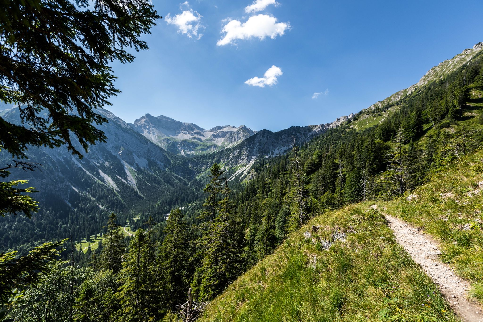
12 days through the Zugspitze region on the Spitzenwanderweg
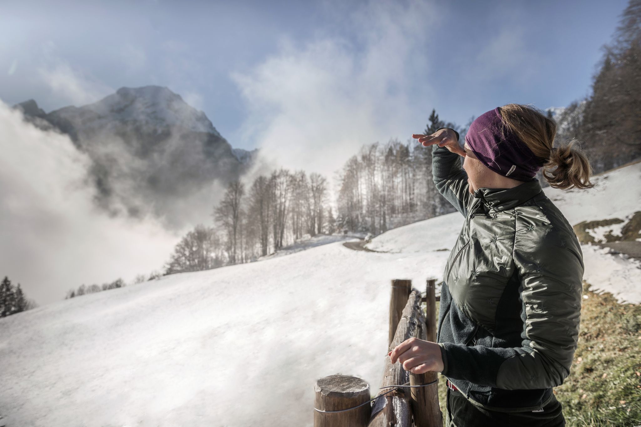
A snowy dream – winter hiking in Upper Bavaria
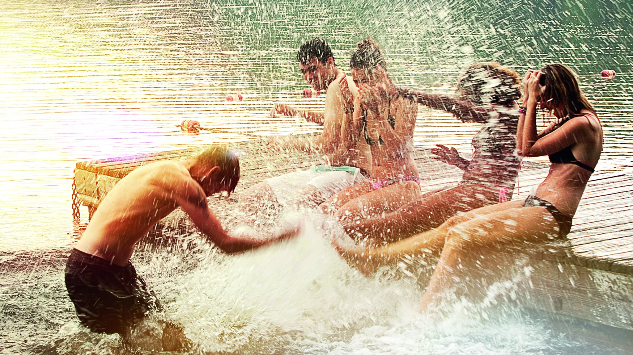
Cool down in Bavaria's lakes
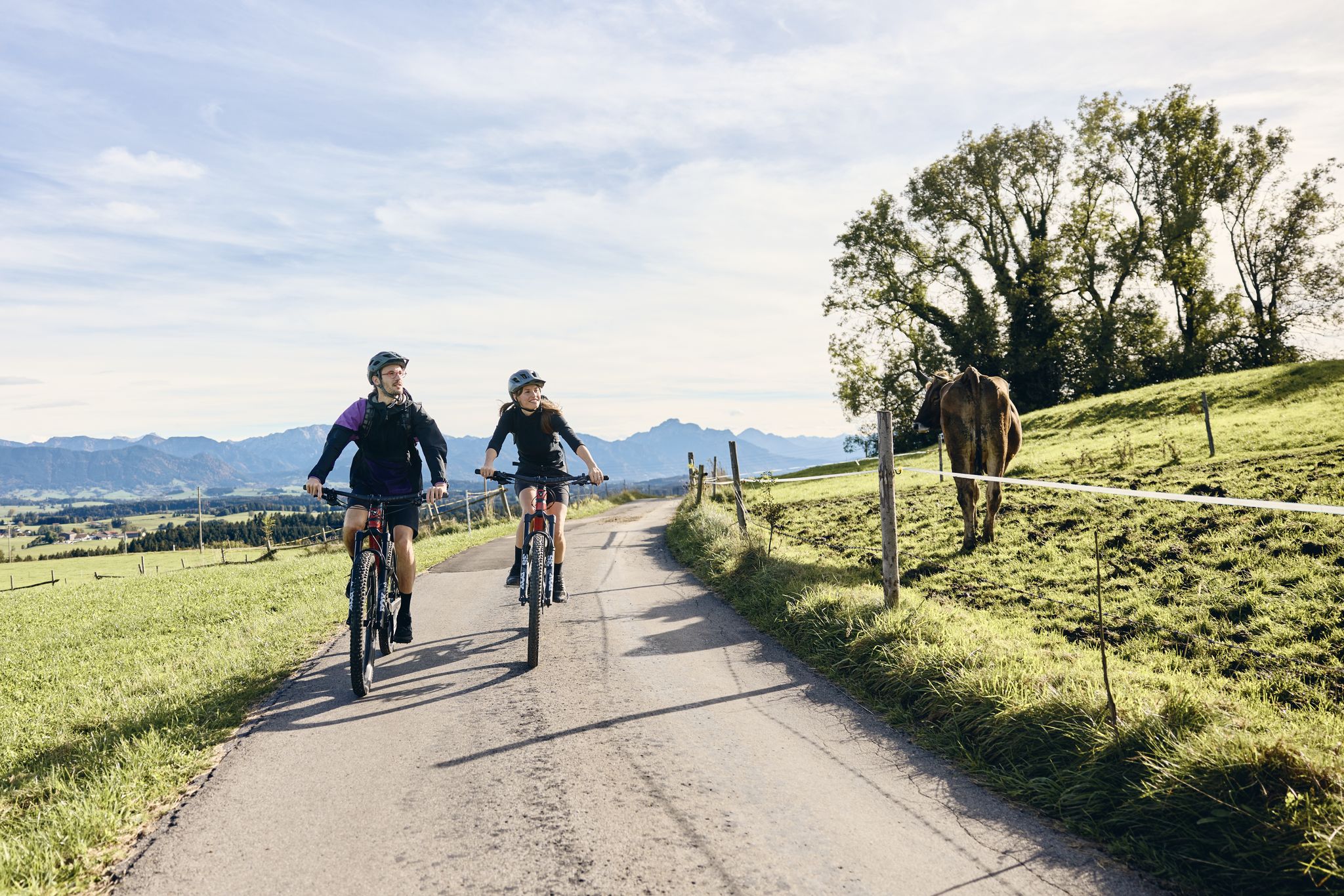
Land of the Moors – cycling between alpine views and wetland paths
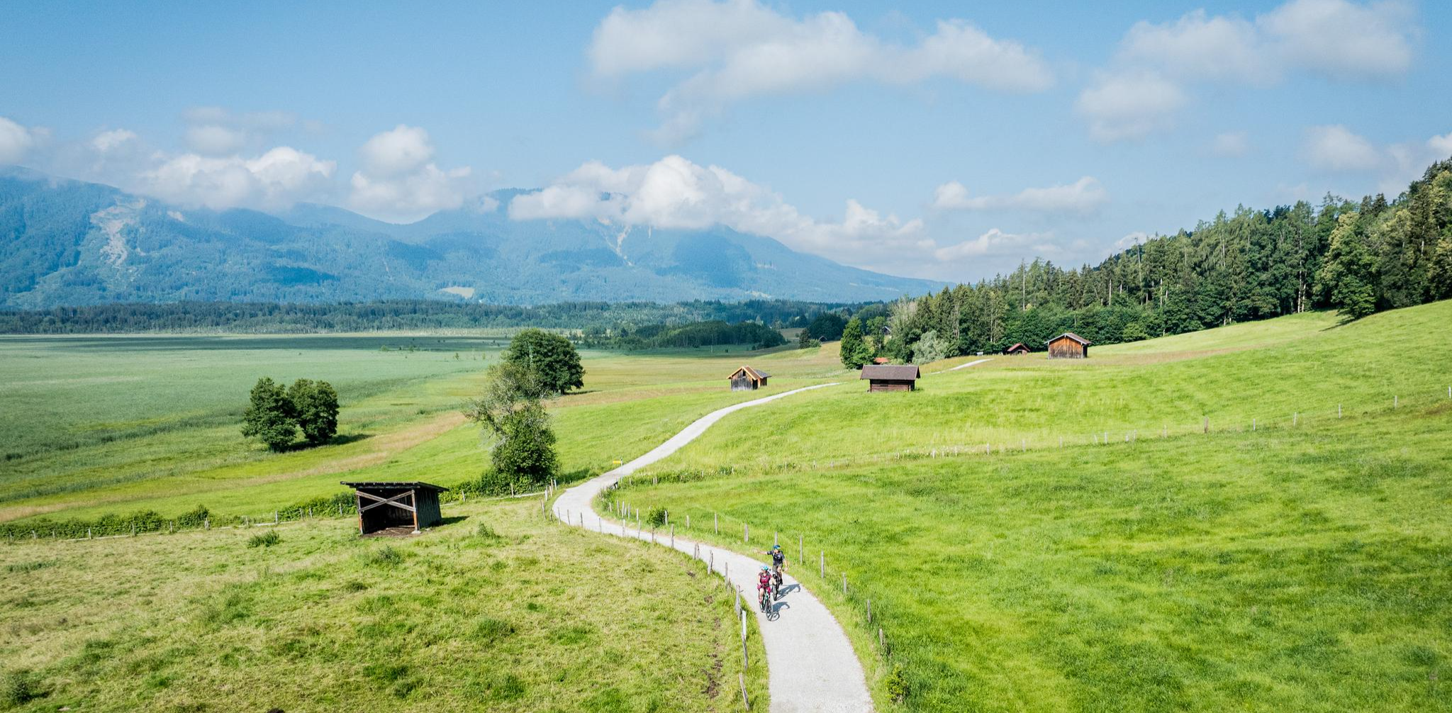
Art and nature by bike – from Munich to the edge of the Alps
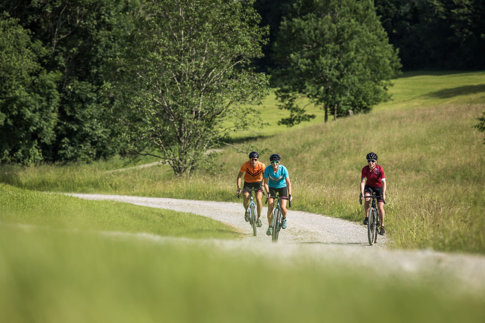
Gravel biking in the Blue Land – around Murnau am Staffelsee
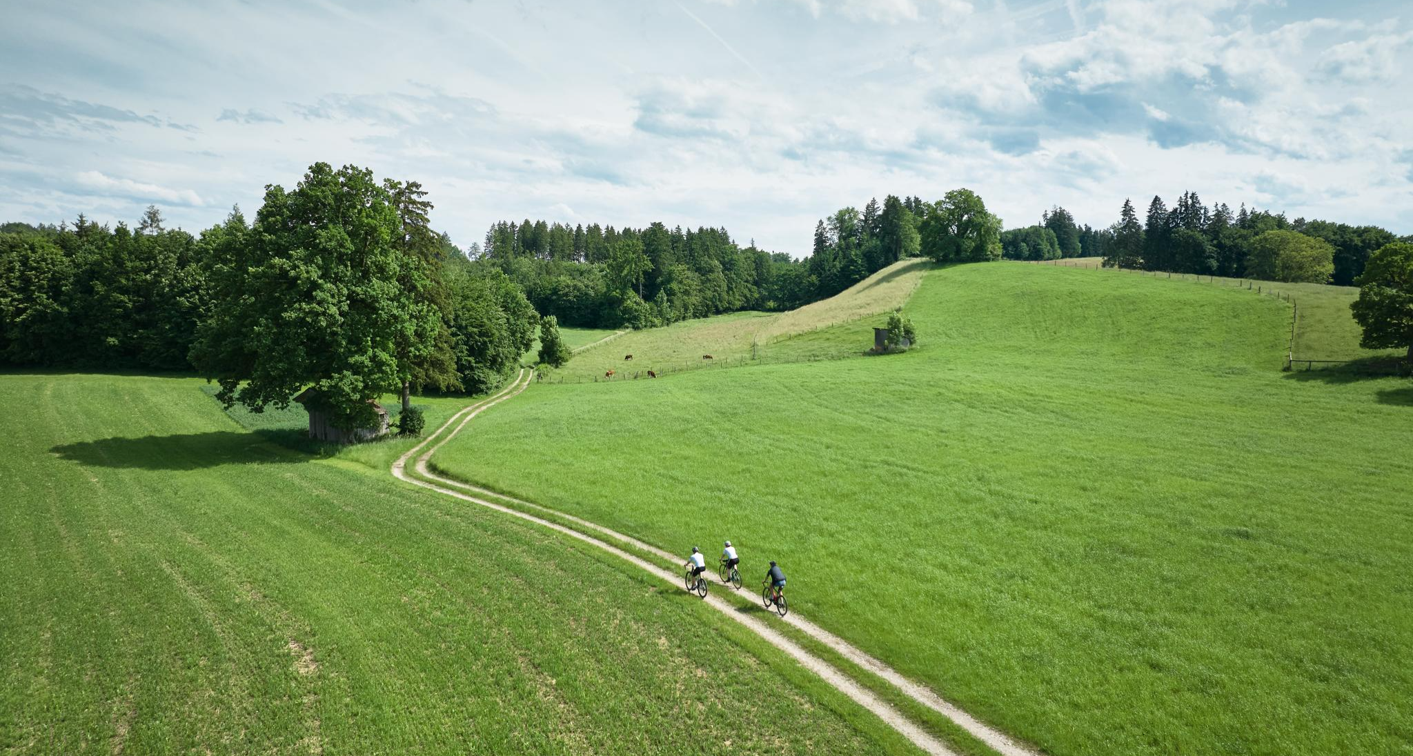
Nature and pure gravel – gravel biking in Pfaffenwinkel
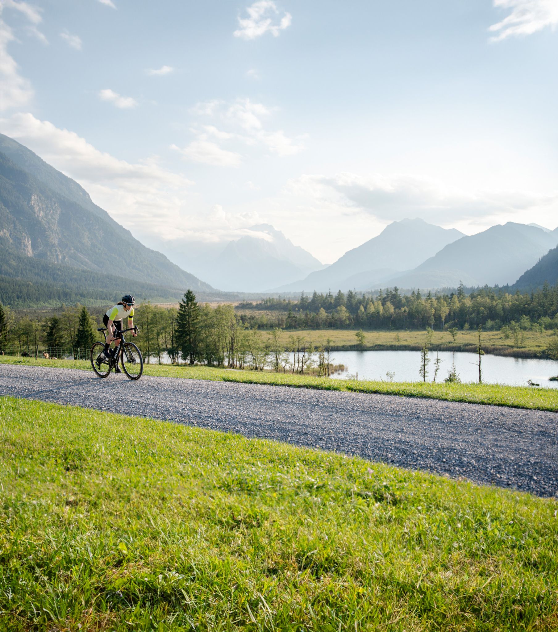
Entlang der höchsten Berge Bayerns – Graveln in der Zugspitz Region
The Blaue Land – cycling in Upper Bavaria
Water & Art – inspiring Tours around Weilheim & Murnau
Other adventures around Murnau am Staffelsee


Tips from the Community

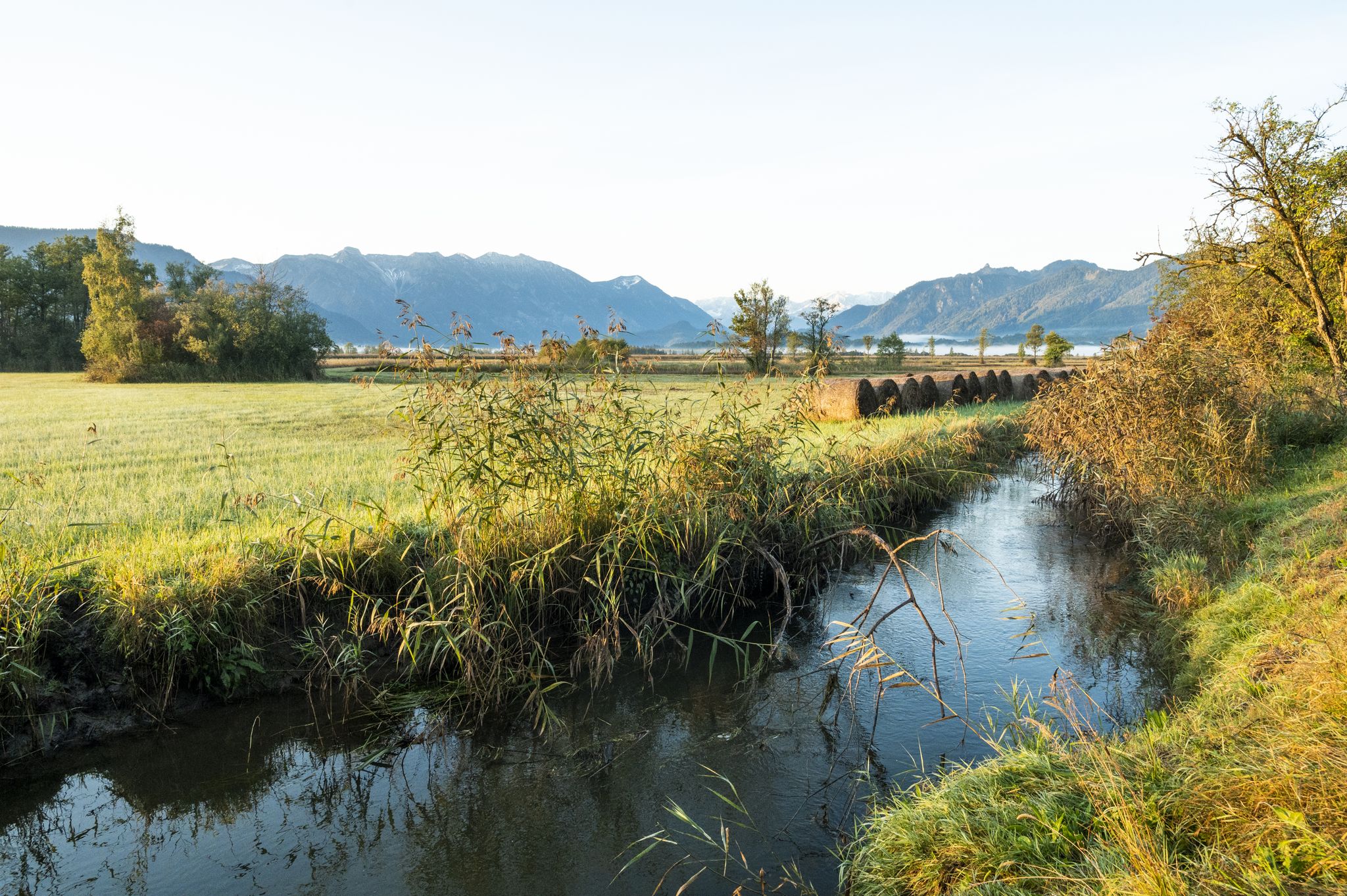
After a short detour to the Ramsach church, you reach a ridge. From there, you have an unobstructed view of the Moos and the Upper Bavarian Alps. There is even a panorama map that allows you to identify all the peaks.
0
0

Kandinsky alone depicted the view from his house onto Murnau in more than 30 versions, which exemplarily show his stylistic development. Through progressive alienation of the objective, up to abstraction, Kandinsky penetrates to the unadulterated expression of "inner experience".
0
0

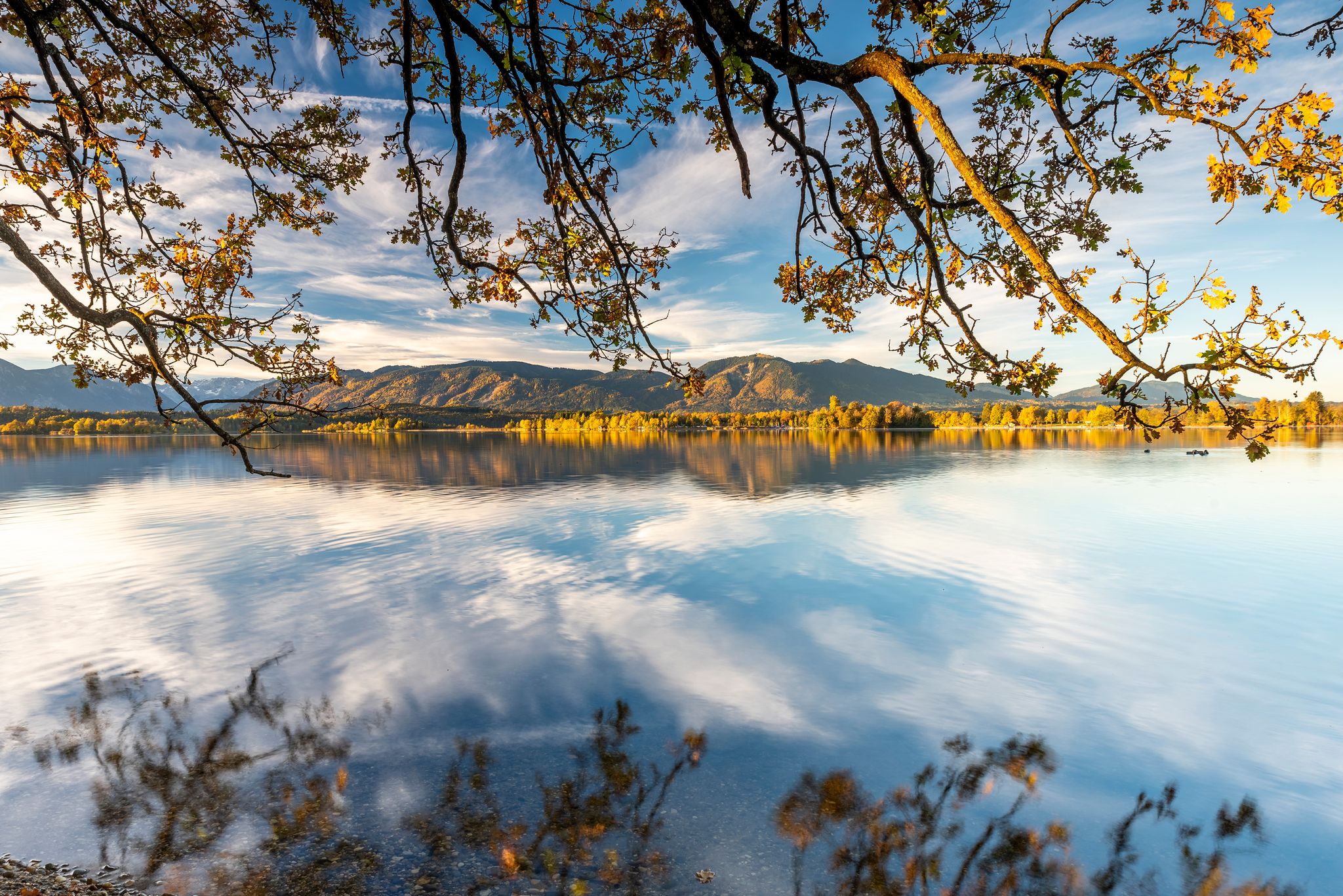
Lake Staffelsee is known as one of the warmest lakes in the region and features seven islands that you can see from the shore during the hike. The route is usually marked as approximately 20.8 km. You should allow an average walking time of 5 to 6 hours, depending on your pace and breaks. The route can also be completed by bike, with the total distance, including access routes from Murnau, often coming to around 38 km. The route is relatively flat with limited elevation gain (approximately 160 to 400 meters, depending on the exact paths) and passes through the towns of Murnau, Seehausen, and Uffing.
0
0

It's a great tour, unfortunately the restaurant is closed on Mondays and Tuesdays
0
0

Murnau .. the center a very idyllic, harmonious community structure
1
0

In the restaurant there is very good food for warm days and hungry cyclists and hikers.
2
0

The Untermarkt in Murnau invites you to linger with its many street cafés, cute shops and cozy restaurants.
1
0

Crossing the Moos in late winter is a wonderful hike that can be undertaken anytime and in any weather, as the trails are beautiful and easy to walk. A wonderful tour in the Bavarian foothills of the Alps with the delightful beer garden at the Ramsach Church. Highly recommended for anyone seeking quieter trails (except in spring and midsummer).
0
0
Frequently Asked Questions
How many waterfall hiking trails are available around Murnau am Staffelsee?
There are over 20 waterfall hiking trails around Murnau am Staffelsee, offering a variety of experiences from easy strolls to more challenging routes. The region's diverse landscape ensures there's a trail for every preference.
What kind of terrain can I expect on waterfall hikes in the Murnau am Staffelsee region?
The terrain around Murnau am Staffelsee is quite varied. You can expect paths through extensive moorlands like the Murnauer Moos, scenic lake shores along the Staffelsee, and trails with views of the alpine foothills. Some routes may involve gentle inclines, while others offer more significant elevation changes.
Are there easy waterfall hikes suitable for beginners in Murnau am Staffelsee?
Yes, there are several easy waterfall hikes perfect for beginners or those looking for a relaxed walk. About 12 of the trails are classified as easy, often featuring gentle inclines and well-maintained paths. A good example is the Ramsach Chapel (Ähndl) – Murnauer Moos Loop Trail, which offers a pleasant experience through the unique moorland.
Can I find challenging waterfall hikes around Murnau am Staffelsee?
While many trails are moderate or easy, there are a couple of more challenging waterfall hikes for experienced hikers seeking a greater adventure. These routes typically involve more significant elevation gain and longer distances, providing a rewarding experience with stunning views.
Are there any circular waterfall hiking routes in the Murnau am Staffelsee area?
Yes, many of the waterfall hiking trails in the region are designed as circular routes, allowing you to start and end at the same point. This is ideal for exploring different facets of the landscape without retracing your steps. For instance, the Murnauer Moos Nature Reserve – View over the Murnauer Moos loop from Murnau am Staffelsee is a popular circular option.
Are the waterfall hiking trails around Murnau am Staffelsee suitable for families?
Absolutely! The Murnau am Staffelsee region offers many family-friendly waterfall hikes. These trails often feature gentle paths, interesting natural sights, and opportunities for children to explore. Look for the 'easy' rated tours for the most suitable options for families.
Can I bring my dog on waterfall hikes in Murnau am Staffelsee?
Generally, dogs are welcome on hiking trails in the Murnau am Staffelsee region. However, it's always advisable to keep them on a leash, especially in nature reserves like the Murnauer Moos, and to be mindful of other hikers and wildlife. Always check specific trail regulations if available.
What is the best time of year to go waterfall hiking in Murnau am Staffelsee?
The best time for waterfall hiking in Murnau am Staffelsee is typically from spring to autumn. In spring, melting snow can make waterfalls particularly impressive, while summer offers pleasant temperatures for longer hikes. Autumn provides stunning foliage colors, adding to the scenic beauty. Winter hikes are also possible, but some paths might be icy or less accessible.
What other natural features or landmarks can I see while waterfall hiking in Murnau am Staffelsee?
Beyond the waterfalls, the region is rich in natural beauty and landmarks. You can explore the unique ecosystem of the Murnauer Moos Nature Reserve, Central Europe's largest contiguous moorland, or enjoy panoramic views of the Staffelsee. The surrounding Ammergau Alps and Wetterstein Mountains also provide breathtaking backdrops and viewpoints like Heimgarten Summit.
Are there any places to eat or drink near the waterfall hiking trails?
Yes, the Murnau am Staffelsee region offers various opportunities to refuel after your hike. You'll find traditional Bavarian guesthouses and cafes in Murnau itself, and some trails may pass by huts or restaurants. For example, the
Is parking available at the trailheads for waterfall hikes?
Parking is generally available at common trailheads and popular starting points around Murnau am Staffelsee. Specific parking information can often be found on individual route descriptions on komoot, or by checking local signage upon arrival.
Can I reach waterfall hiking trails around Murnau am Staffelsee by public transport?
Murnau am Staffelsee is well-connected by public transport, making it possible to reach many trailheads without a car. The town has a train station, and local bus services can take you to various starting points for hikes. It's recommended to check local bus schedules for specific routes.
Are there options for wild swimming near waterfalls in Murnau am Staffelsee?
While direct wild swimming in waterfall plunge pools might not always be safe or permitted, the nearby Staffelsee offers excellent opportunities for swimming. Its mild, marsh-rich waters are very inviting, especially after a hike. Always observe local regulations and safety guidelines for any swimming activities.
What do other hikers enjoy the most about hiking in Murnau am Staffelsee?
The area is highly rated by the komoot community, with an average score of 4.5 stars from over 5,500 reviews. Reviewers often praise the diverse landscapes, from the unique moorlands to the scenic lake views and the impressive backdrop of the Alps. The well-maintained trails and variety of difficulty levels are also frequently highlighted.
Most popular routes around Murnau am Staffelsee
Most popular attractions around Murnau am Staffelsee

Get inspired with the komoot mobile app


Explore more
Browse the best Hikes in other regions.
