The best waterfall hikes and walks around Sur De Tenerife
4.4
(70420)
308,958
hikers
4
hikes
Waterfall hiking trails around Sur De Tenerife traverse a diverse landscape characterized by volcanic formations, deep ravines (barrancos), and areas of lush vegetation. The region's topography includes significant elevation changes, leading to the formation of seasonal cascades and permanent waterfalls. Hikers can expect paths that wind through varied terrain, from arid slopes to more verdant valleys, often offering views of the Atlantic coast and the island's interior.
Best waterfall hiking trails around Sur De Tenerife
- The most popular waterfall hiking route is Barranco del Aderno – View of Buenavista del Norte loop from Camino El Risco, a 9.1 miles (14.7 km) trail that takes 7 hours 44 minutes to complete. This difficult route explores a significant ravine system with scenic overlooks.
- Another top favourite among local hikers is Laurel Arch View of Teide – Teno Lighthouse loop from La Piedra, a difficult 17.3 miles (27.9 km) path. This trail offers expansive views of Teide and the coastline, passing through areas with distinctive laurel vegetation.
- Local hikers also love the La Los Raiscales Rest Area – View of El Jaral loop from Monumento Natural de la Montaña de Tejina, a 9.9 miles (16.0 km) trail leading through mountainous terrain and natural monuments, often completed in about 6 hours 19 minutes.
- Hiking around Sur De Tenerife is defined by volcanic landscapes, deep barrancos, and coastal views. The network offers options for different ability levels, from easy waterfall hikes to more challenging mountain ascents.
- The routes in Sur De Tenerife are highly rated by the komoot community with an average score of 4.3 stars from over 37500 reviews. More than 176000 hikers have used komoot to explore Sur De Tenerife's varied terrain.
Last updated: July 7, 2026
4.7
(7)
42
hikers
14.7km
07:44
1,260m
1,260m
Hard hike. Very good fitness required. Sure-footedness, sturdy shoes and alpine experience required.
5.0
(6)
40
hikers
27.8km
10:58
1,450m
1,450m
Hard hike. Very good fitness required. Mostly accessible paths. Sure-footedness required.

Sign up for free
7
hikers
Hard hike. Very good fitness required. Mostly accessible paths. Sure-footedness required.
5.0
(1)
7
hikers
Easy hike. Great for any fitness level. Easily-accessible paths. Suitable for all skill levels.
Our route recommendations are based on thousands of hikes, rides, and runs completed by other people on komoot.
Start today with a free account
Your next adventure awaits.
Login or Signup
Popular around Sur De Tenerife
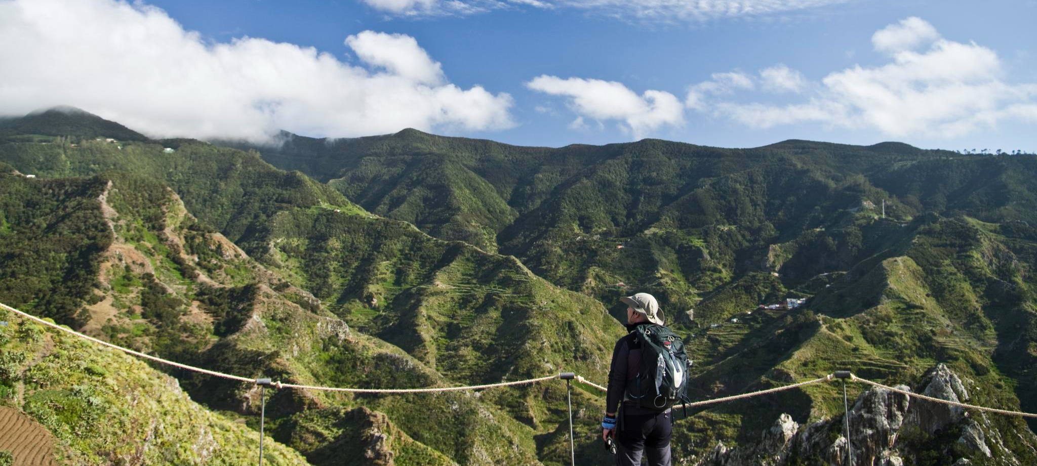
Tenerife's interior – discover fascinating hiking routes
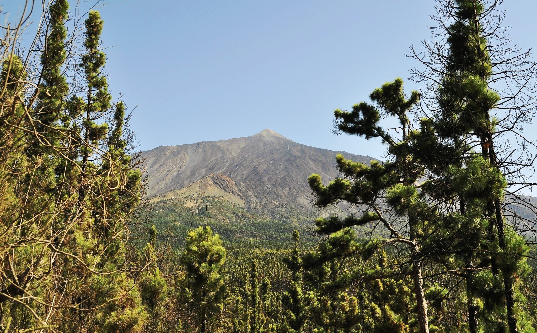
An island pilgrimage – Camino de Santiago de Tenerife
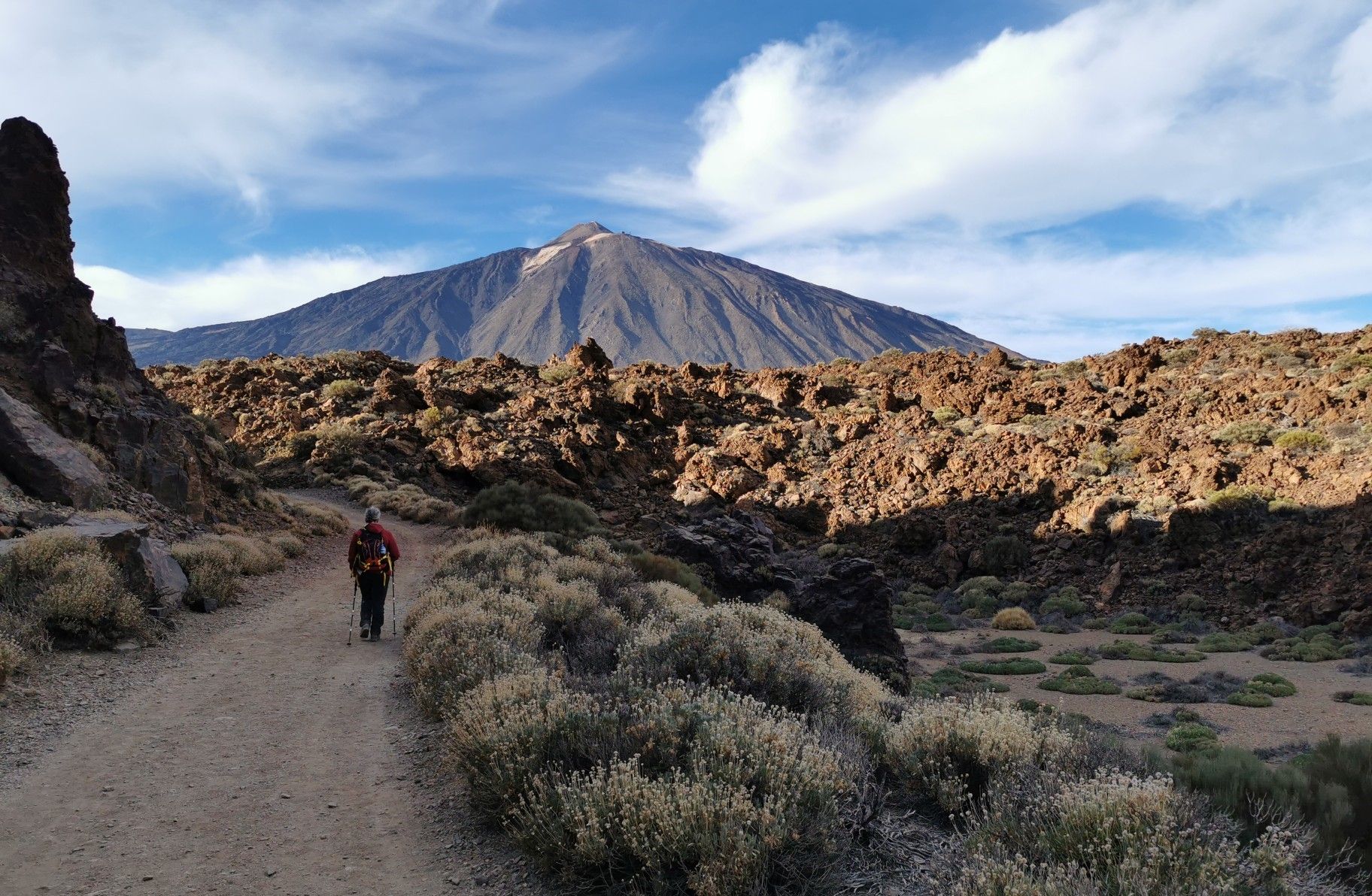
Tenerife from north to south – Camino Natural de Anaga-Chasna
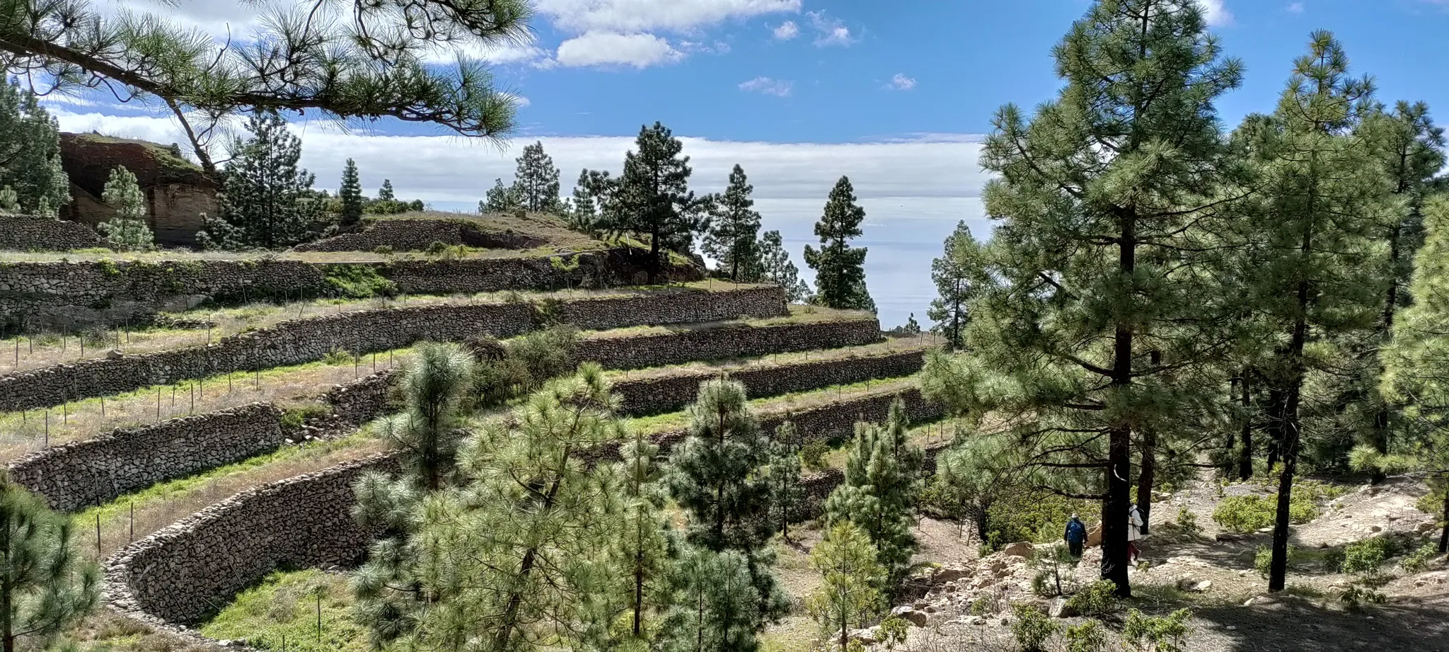
Laurel forest to Caldera – hike the Tenerife GR 131 in 5 days
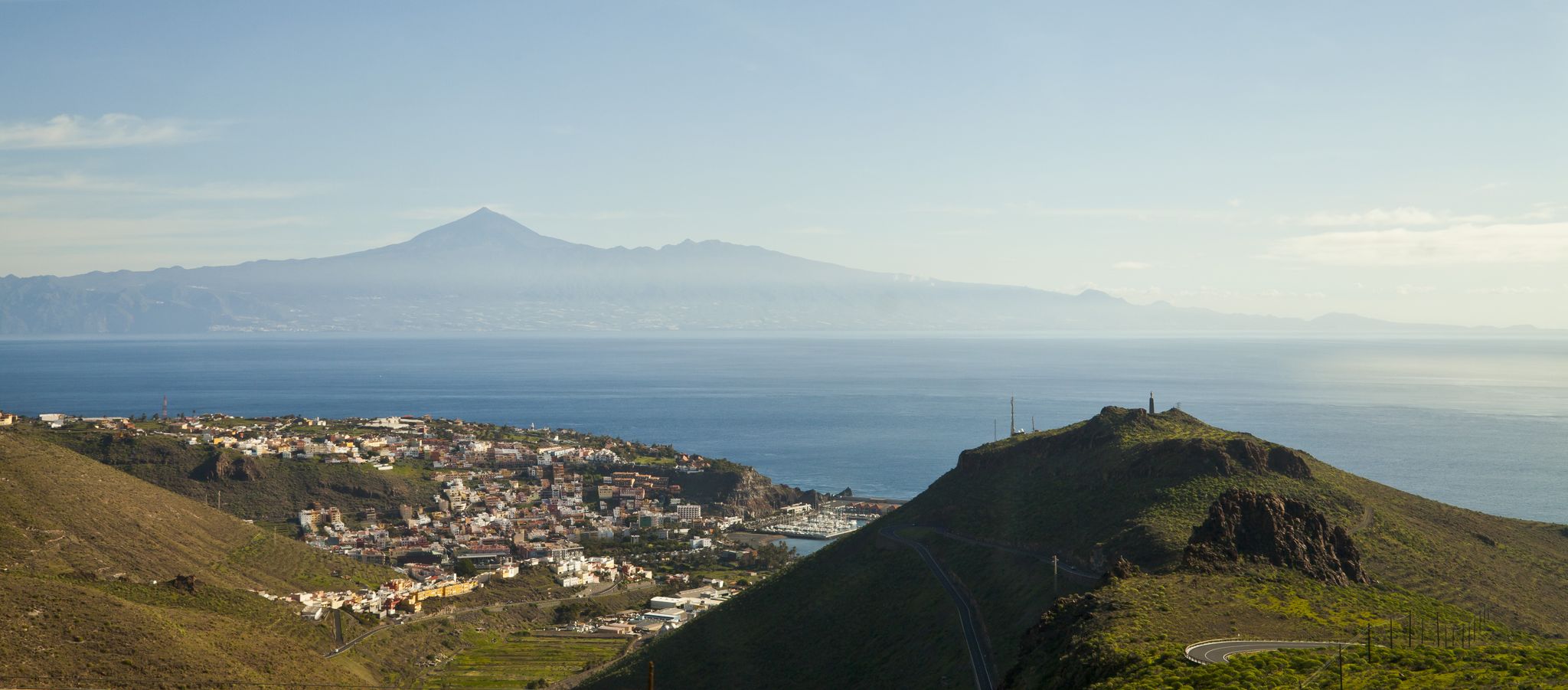
My favourite hikes on Tenerife and La Gomera
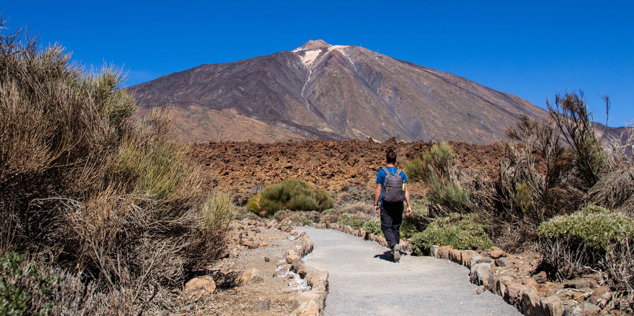
Adventuring in Tenerife — six hiking Tours for every taste
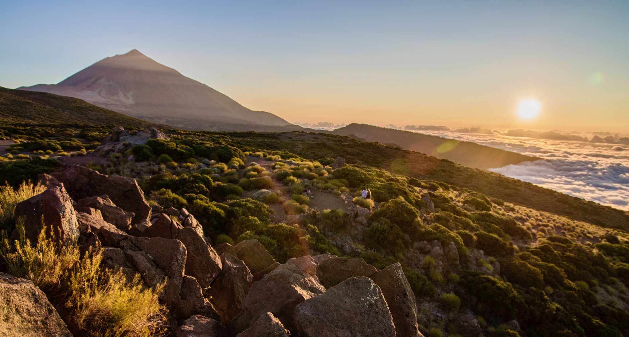
From volcanic peaks to pristine beaches – A hiking paradise in Tenerife
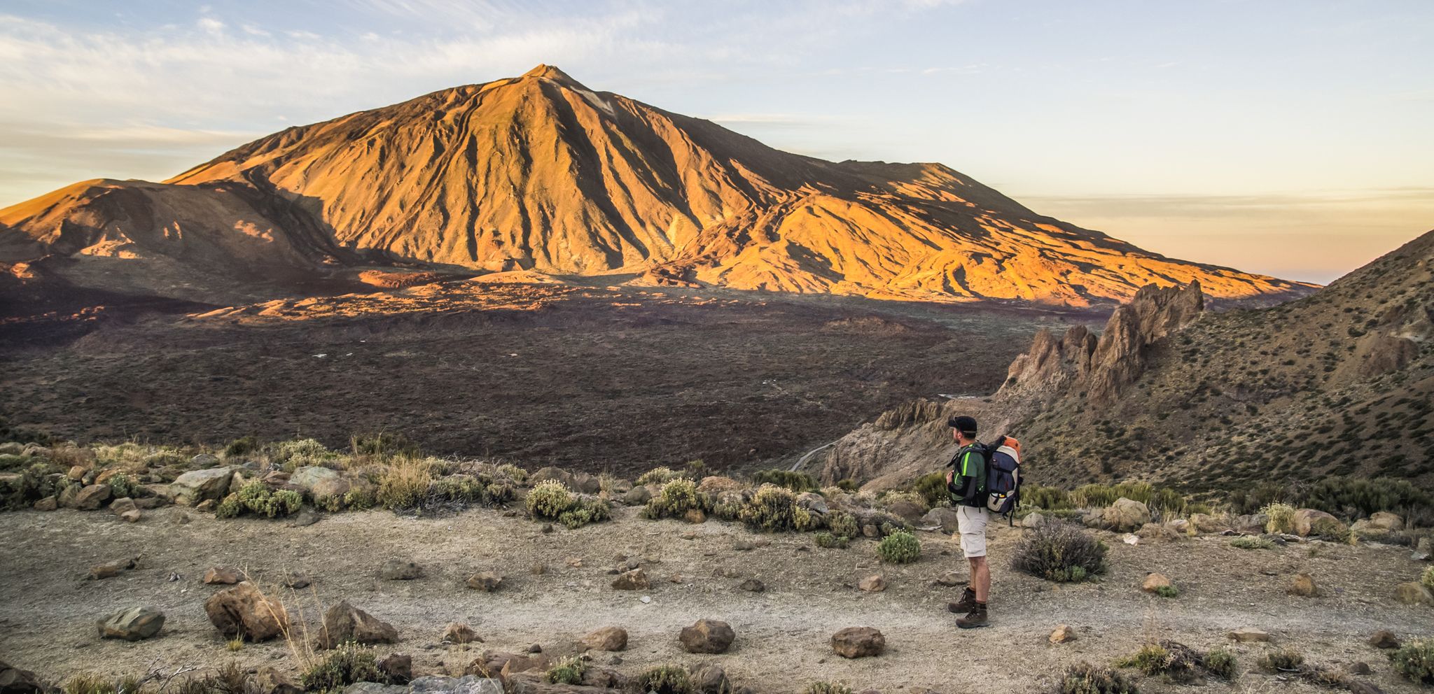
The most beautiful hiking adventures on Tenerife
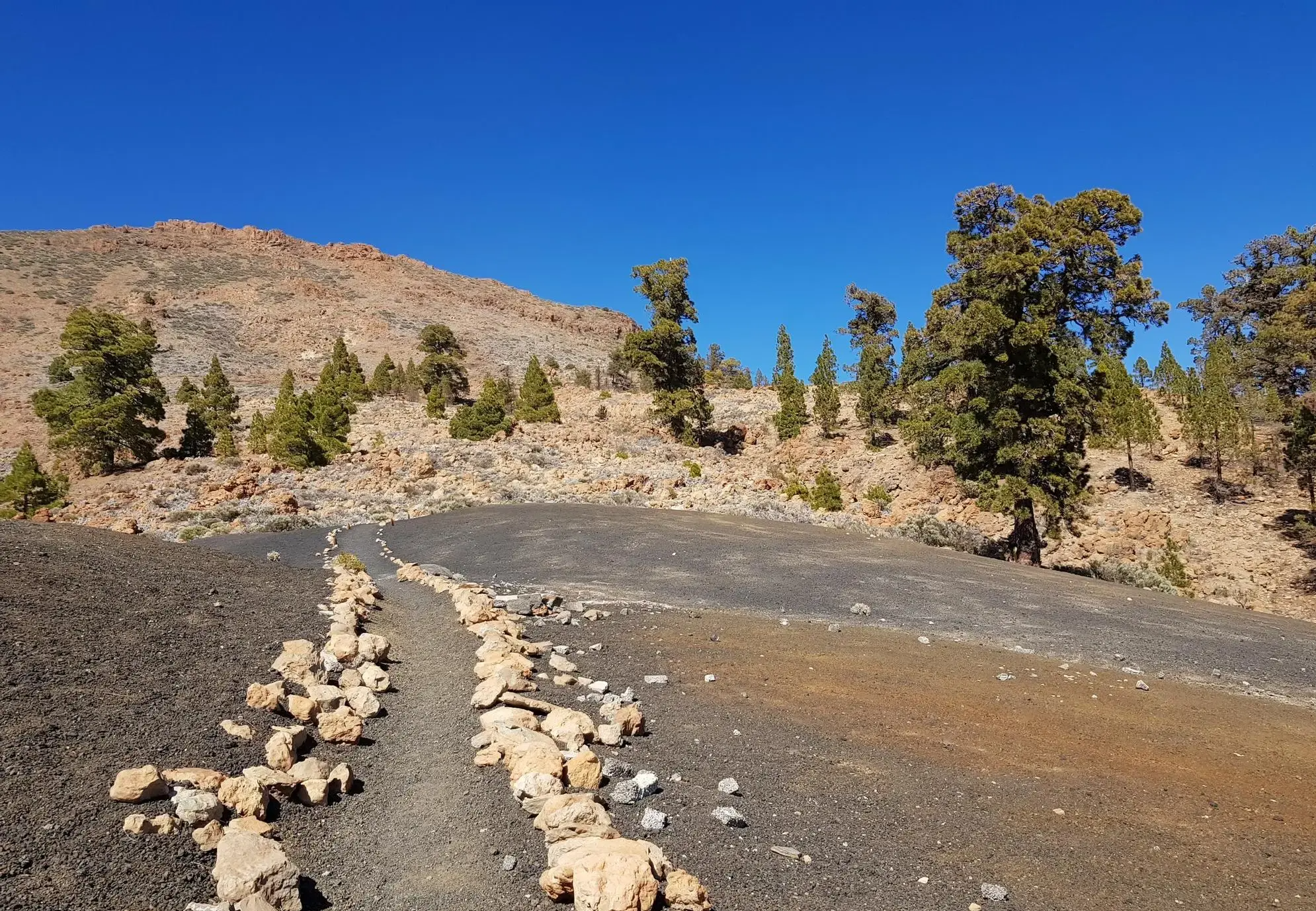
From the coast to the Teide - Tenerife Bluetrail by UTMB
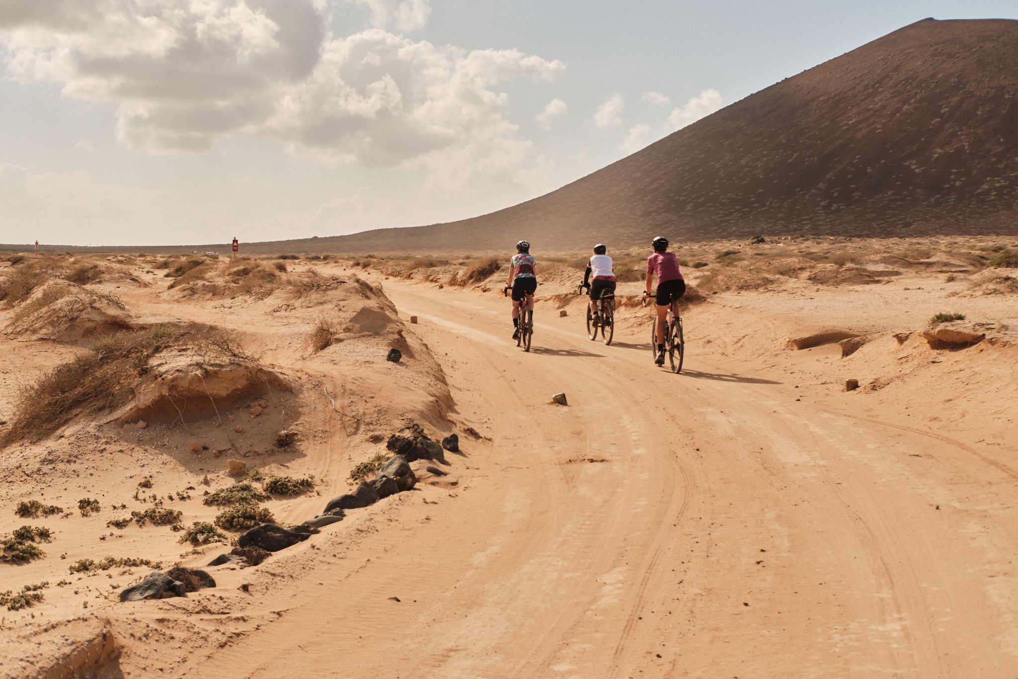
GranGuanche gravel – Komoot women's rally 2023
Other adventures around Sur De Tenerife


Tips from the Community

Absolutely spectacular views of Los Gigantes and the coast.
1
0

Great spot behind Montana de Tejina.
0
0

An absolute hit in spring, and the terraces are certainly accessible in summer as well.
0
0

Great hike, however, after the view of La Gomera, it becomes quite an ordeal for those who aren't comfortable with heights. This should be taken into account; we unfortunately had to turn back. For everyone else, we can absolutely recommend the tour! 🥰
2
0

Mount Teide was shrouded in clouds today.
0
0
The detour here was recommended to us at the information center. It was worth it.
0
0
A beautifully varied route, and it looks different with every step.
0
0

Deep down on a small peninsula stands the lighthouse of Punta de Teno. The island of La Gomera can often be seen in the background.
1
0
Frequently Asked Questions
How many waterfall hiking trails are available in Sur De Tenerife?
There are a few dedicated waterfall hiking trails in Sur De Tenerife, offering diverse experiences from easy strolls to challenging full-day treks. You can explore routes that traverse volcanic landscapes, deep ravines, and areas of lush vegetation, often leading to seasonal cascades or permanent waterfalls.
Are there any easy waterfall hikes suitable for beginners or families in Sur De Tenerife?
Yes, for those seeking a more relaxed experience, the View from the Jungle Trail – View of Buenavista del Norte loop from Los Silos is an excellent option. This easy 2.5 km (1.6 miles) hike takes approximately 45 minutes, making it ideal for beginners or families looking for a gentle introduction to the region's natural beauty and waterfalls.
What is the best time of year to experience waterfalls in Sur De Tenerife?
The visibility and flow of waterfalls in Sur De Tenerife are often dependent on recent rainfall. While some waterfalls are permanent, many seasonal cascades are at their most impressive during the wetter months, typically from late autumn through spring (November to April). During these periods, the barrancos are more active, and the vegetation is at its most vibrant.
What kind of terrain can I expect on waterfall hikes in Sur De Tenerife?
Waterfall hikes in Sur De Tenerife feature a diverse landscape shaped by volcanic activity. You can expect paths that wind through deep ravines (barrancos), arid slopes, and more verdant valleys. The terrain often includes significant elevation changes, so sturdy footwear is essential. Some routes may involve rocky sections or uneven ground.
Are there any circular waterfall hiking routes in Sur De Tenerife?
Yes, several routes are designed as loops, allowing you to start and end at the same point. For example, the challenging Barranco del Aderno – View of Buenavista del Norte loop from Camino El Risco is a 14.7 km (9.1 miles) trail that offers a comprehensive exploration of a ravine system with scenic overlooks.
What should I wear and bring for a waterfall hike in Sur De Tenerife?
Given the varied terrain and potential for elevation changes, it's recommended to wear sturdy hiking boots with good grip. Layers of clothing are advisable, as temperatures can change, especially in ravines or at higher altitudes. Don't forget sun protection (hat, sunscreen), plenty of water, snacks, and a waterproof jacket, particularly during the wetter seasons when waterfalls are most active.
Are there any interesting natural attractions or landmarks near the waterfall trails?
Absolutely! The region is rich in natural beauty. While hiking, you might encounter highlights such as the Lunar Landscape, known for its unique volcanic formations, or the Malpaís de Güímar, a protected natural monument. These offer additional points of interest to explore alongside the waterfall routes.
Can I reach waterfall hiking trails in Sur De Tenerife using public transport?
While some trailheads might be accessible via local bus routes, public transport options can be limited, especially for trails located in more remote barrancos or mountainous areas. It's advisable to check specific bus schedules and routes in advance or consider renting a car for greater flexibility to reach various starting points.
What do other hikers enjoy most about the waterfall trails in Sur De Tenerife?
The komoot community highly rates the hiking experiences in Sur De Tenerife, with an average score of 4.3 stars from over 37,500 reviews. Hikers often praise the dramatic volcanic landscapes, the refreshing presence of seasonal waterfalls, and the expansive views of the Atlantic coast and Mount Teide that many of these trails offer.
Are there any challenging waterfall hikes for experienced hikers?
Yes, for experienced hikers seeking a challenge, Sur De Tenerife offers several demanding routes. The Laurel Arch View of Teide – Teno Lighthouse loop from La Piedra is a difficult 27.9 km (17.3 miles) trail that provides expansive views of Teide and the coastline, passing through distinctive laurel vegetation. Another option is the La Los Raiscales Rest Area – View of El Jaral loop from Monumento Natural de la Montaña de Tejina, a 16.0 km (9.9 miles) difficult trail through mountainous terrain.
Are the waterfall hiking trails in Sur De Tenerife dog-friendly?
Many natural areas and hiking trails in Sur De Tenerife are generally accessible for dogs, provided they are kept on a leash and owners adhere to local regulations regarding waste disposal. However, specific rules can vary by protected area or national park. It's always best to check the latest guidelines for the particular trail you plan to visit to ensure a pleasant experience for both you and your pet.
Most popular routes around Sur De Tenerife
Most popular attractions around Sur De Tenerife

Get inspired with the komoot mobile app


Explore more
Browse the best Hikes in other regions.
