The best mountain hikes around Schwarzhäusern
6
hikers
2
hikes
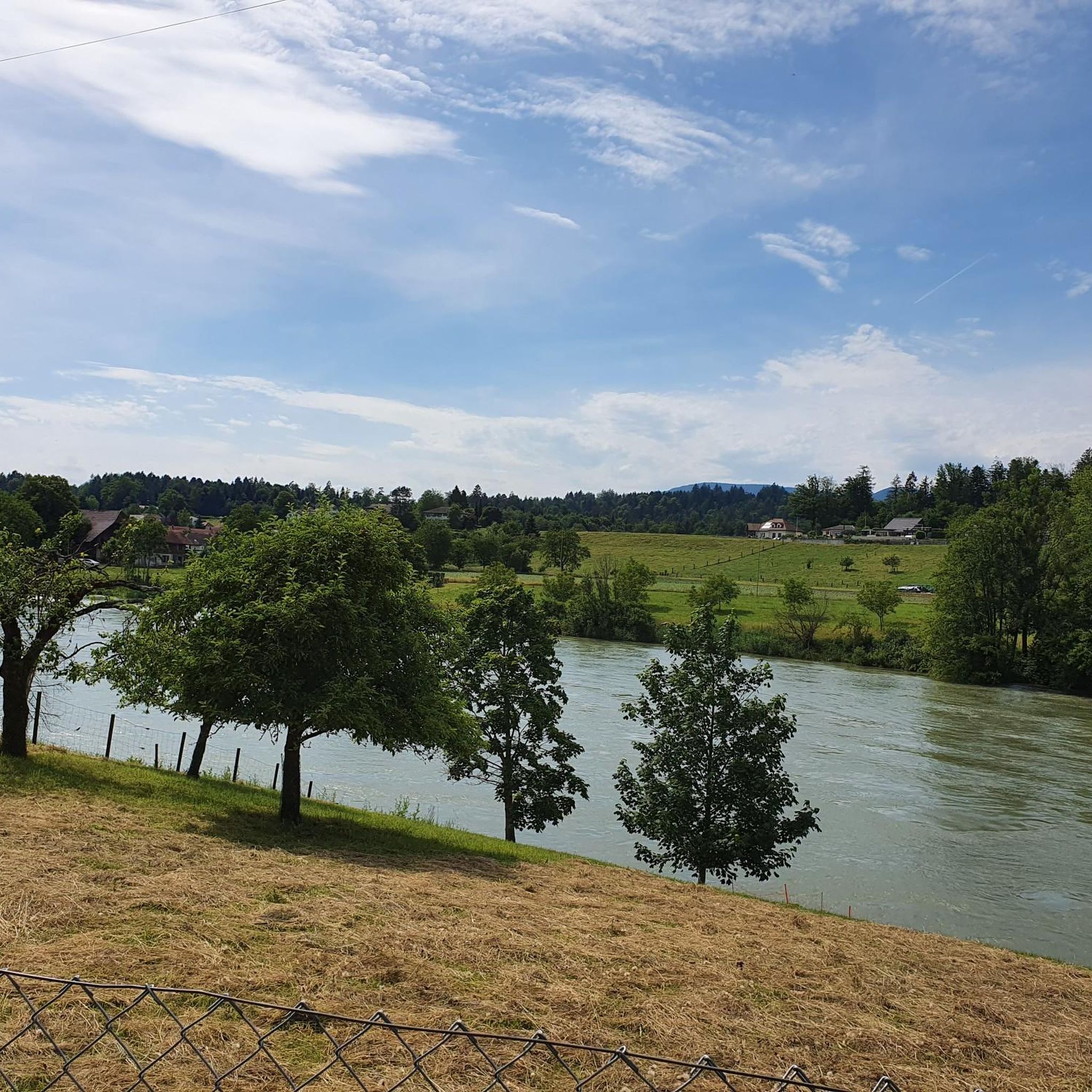
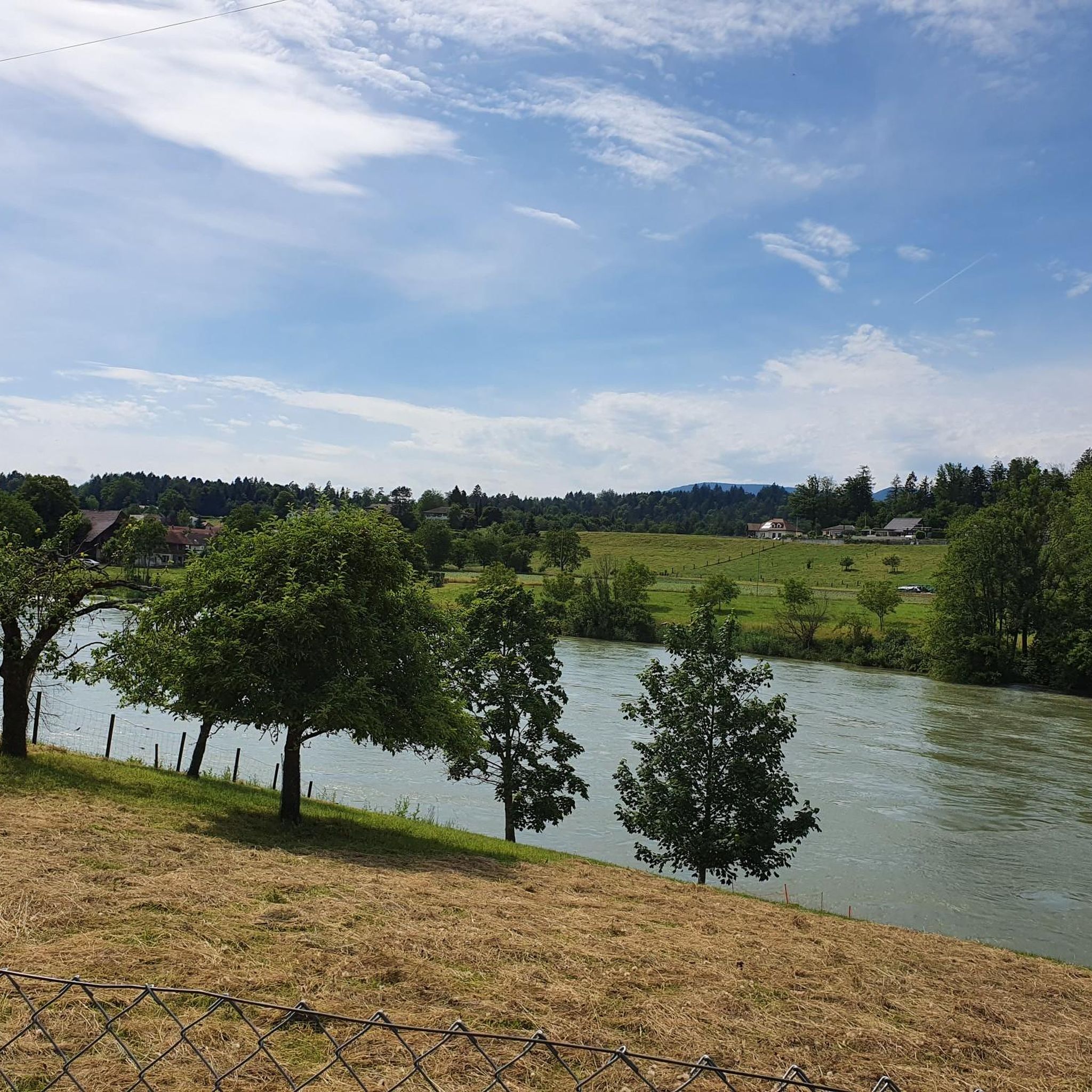
Mountaineering routes around Schwarzhäusern are situated in the Swiss Plateau, a region characterized by its gentle terrain, extensive agricultural lands, and significant forested areas. While not a high-alpine destination, the area offers varied mountain hiking experiences with notable elevation gains. The landscape is shaped by its position on the left bank of the Aare River and features numerous woodlands and rural paths. These routes provide opportunities for longer, more strenuous walks through a picturesque natural environment.
Best mountaineering routes around…
Last updated: October 11, 2026
2
hikers
Hard mountaineering route. Very good fitness required. Sure-footedness, sturdy shoes and alpine experience required.
2
hikers
Moderate mountaineering route. Good fitness required. Mostly accessible paths. Sure-footedness required.

2
hikers
14.2km
04:42
610m
600m
Moderate mountaineering route. Good fitness required. Mostly accessible paths. Sure-footedness required.
Our route recommendations are based on thousands of hikes, rides, and runs completed by other people on komoot.
Start today with a free account
Your next adventure awaits.
Tips from the Community

Beautiful mountain lodge as a good starting point for a hike across the Belchenflue.
3
0

Ideal resting place with fire pit: carry barbecue food in your backpack!
1
0

A challenging pass in the Tafeljura, the climb is made up of a small road with a maximum gradient of 15% and little traffic. The scenery is very scenic, with magnificent panoramas along the way.
1
1

Nice hike down to the Rhine - a good 30 km.
1
1

Impressive viewing point. Former tank turret - part of the First World War memorial trail
0
0

This tour is about Holderbank Canton Solothurn, not Aargau-Lenzburg
0
0

Rest area with parking spaces. Shortest starting point for the hike to the Belchenfluh.
9
1
Beautiful wooden art scattered throughout the forest - it's worth keeping your eyes open.
1
0
Frequently Asked Questions
What kind of mountain hiking routes can I expect around Schwarzhäusern?
The routes around Schwarzhäusern are situated in the Swiss Plateau, offering varied mountain hiking experiences through forested hills, agricultural lands, and along the Aare River. While not high-alpine, these trails feature notable elevation gains and provide opportunities for longer, more strenuous walks through picturesque natural environments.
Are there any circular mountain hiking routes available?
Yes, all the featured routes are circular, allowing you to start and end at the same point. For example, you can explore the Roggenflue Viewpoint – Ruins of Neu-Falkenstein Castle loop from Thalbrücke or the Ruins of Neu-Falkenstein Castle – Roggenschnarz loop from Holderbank SO.
What are the difficulty levels of the mountain hiking trails near Schwarzhäusern?
The routes around Schwarzhäusern offer a mix of difficulty levels. You'll find moderate trails, such as the Ruins of Neu-Falkenstein Castle – Roggenschnarz loop from Holderbank SO, as well as more challenging options like the Roggenflue Viewpoint – Ruins of Neu-Falkenstein Castle loop from Thalbrücke, which features significant elevation gain.
Are there any family-friendly mountain hiking options in the area?
For a more relaxed outing suitable for families, consider the Biber-Biotop – Stelliwald loop from Herzogenbuchsee. This moderate route is shorter, at about 9.6 km, and has less elevation gain, making it a good choice for a pleasant walk through nature.
What landmarks or points of interest can I see along the routes?
Many routes offer historical and scenic points of interest. You can visit the Ruins of Neu-Falkenstein Castle, enjoy panoramic views from Roggenflue Viewpoint, or discover other viewpoints like Ankehubel and Höllchöpfli Viewpoint.
What is the best time of year for mountain hiking around Schwarzhäusern?
The Swiss Plateau, where Schwarzhäusern is located, is generally accessible for hiking during most of the year. Spring and autumn offer pleasant temperatures and beautiful scenery, while summer provides longer daylight hours. Winter hiking is also possible, though some trails might require appropriate gear for snow or ice.
Are the mountain hiking trails around Schwarzhäusern dog-friendly?
Generally, the forested and agricultural paths around Schwarzhäusern are suitable for dogs. However, it's always recommended to keep dogs on a leash, especially in agricultural areas or near livestock, and to check local regulations for specific trails or nature reserves.
What gear should I bring for mountain hiking in this region?
Given the varied terrain, including forested sections and paths with elevation gain, sturdy hiking boots are essential. Depending on the season, layers of clothing, rain gear, water, snacks, and a map or GPS device are also recommended. Trekking poles can be helpful on steeper sections.
Are there any routes with particularly stunning views?
Yes, for stunning views, the Roggenflue Viewpoint – Ruins of Neu-Falkenstein Castle loop from Thalbrücke is highly recommended, offering panoramic vistas from Roggenflue. Another excellent choice is the Belchenflue Summit Viewpoint – Chilchzimmersattel loop from Langenbruck, which leads to diverse woodlands and summit viewpoints.
How can I get to the trailheads using public transport?
Schwarzhäusern is a small municipality, and while specific trailhead access by public transport can vary, the broader region is served by Switzerland's efficient public transport network. It's advisable to check local bus and train schedules to nearby towns like Herzogenbuchsee or Langenbruck, and then plan your approach to the specific trailhead.
Where can I find parking for the mountain hiking routes?
Parking availability can vary by trailhead. For routes starting from towns like Thalbrücke, Holderbank SO, Langenbruck, or Herzogenbuchsee, you can typically find designated parking areas. It's recommended to check local signage or use navigation apps for specific parking information near your chosen starting point.
Are there any opportunities for wild swimming near the hiking trails?
Schwarzhäusern is located on the left bank of the Aare River, which is well-known for recreational activities, including swimming for experienced swimmers in certain stretches. While specific wild swimming spots directly adjacent to the mountain hiking trails are not detailed, the Aare generally offers opportunities for water recreation in the broader region.
Most popular routes around Schwarzhäusern
Most popular attractions around Schwarzhäusern

Get inspired with the komoot mobile app


