The best road cycling routes in Pipra Og Storrsjøhøgda Naturreservat
34
riders
5
rides
Road cycling routes in Pipra Og Storrsjøhøgda Naturreservat traverse an undulating landscape with elevations ranging from approximately 513 to 606 meters above sea level. The region features a "small-knolled landscape" characterized by numerous smaller hillsides and prominent elevations such as Kolsjørøet and Storsjøhøgda. Routes often wind through old spruce forest, providing a tranquil natural experience. The varied topography offers dynamic cycling with ascents and descents, appealing to road cyclists seeking diverse challenges.
Best road cycling routes in Pipra Og Storrsjøhøgda…
Last updated: July 17, 2026
10
riders
83.9km
03:55
920m
920m
Hard road ride. Very good fitness required. Some segments of this route may be unpaved and difficult to ride.
7
riders
40.2km
02:08
640m
640m
Moderate road ride. Good fitness required. Some segments of this route may be unpaved and difficult to ride.

Sign up for free
3
riders
75.9km
03:49
1,090m
1,090m
Hard road ride. Very good fitness required. Some segments of this route may be unpaved and difficult to ride.
12
riders
23.3km
01:07
200m
200m
Easy road ride. Great for any fitness level. Mostly well-paved surfaces and easy to ride.
2
riders
69.3km
03:39
1,130m
1,130m
Hard road ride. Very good fitness required. Some segments of this route may be unpaved and difficult to ride.
Our route recommendations are based on thousands of hikes, rides, and runs completed by other people on komoot.
Start today with a free account
Your next adventure awaits.
Login or Signup
Popular around Pipra Og Storrsjøhøgda Naturreservat
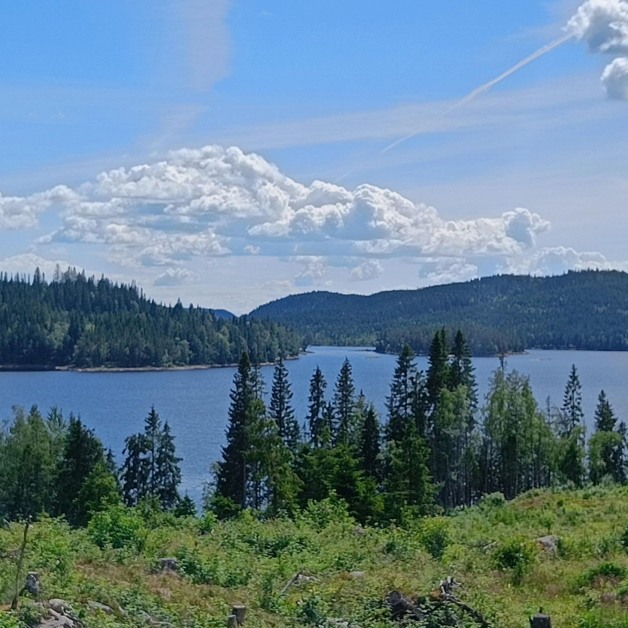
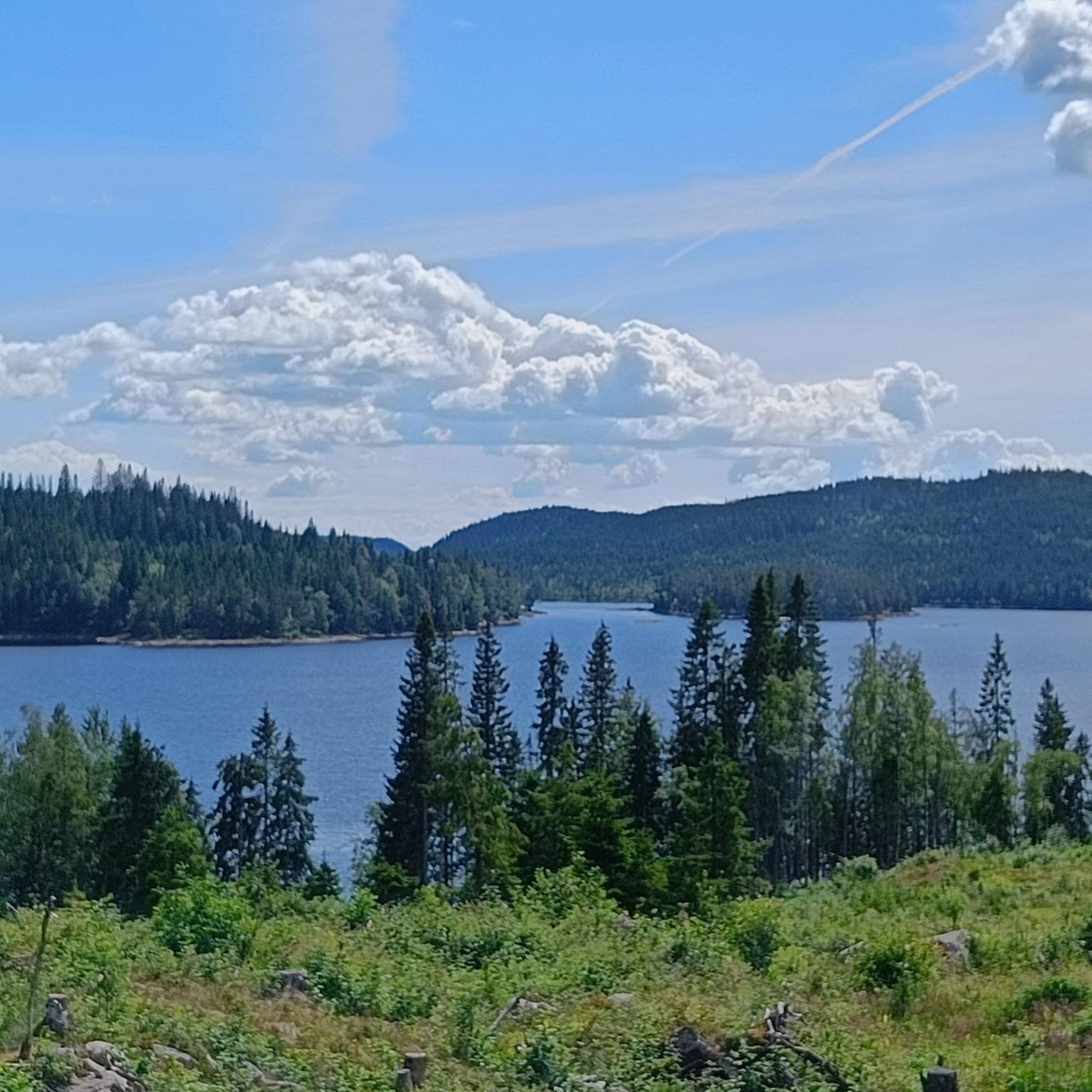
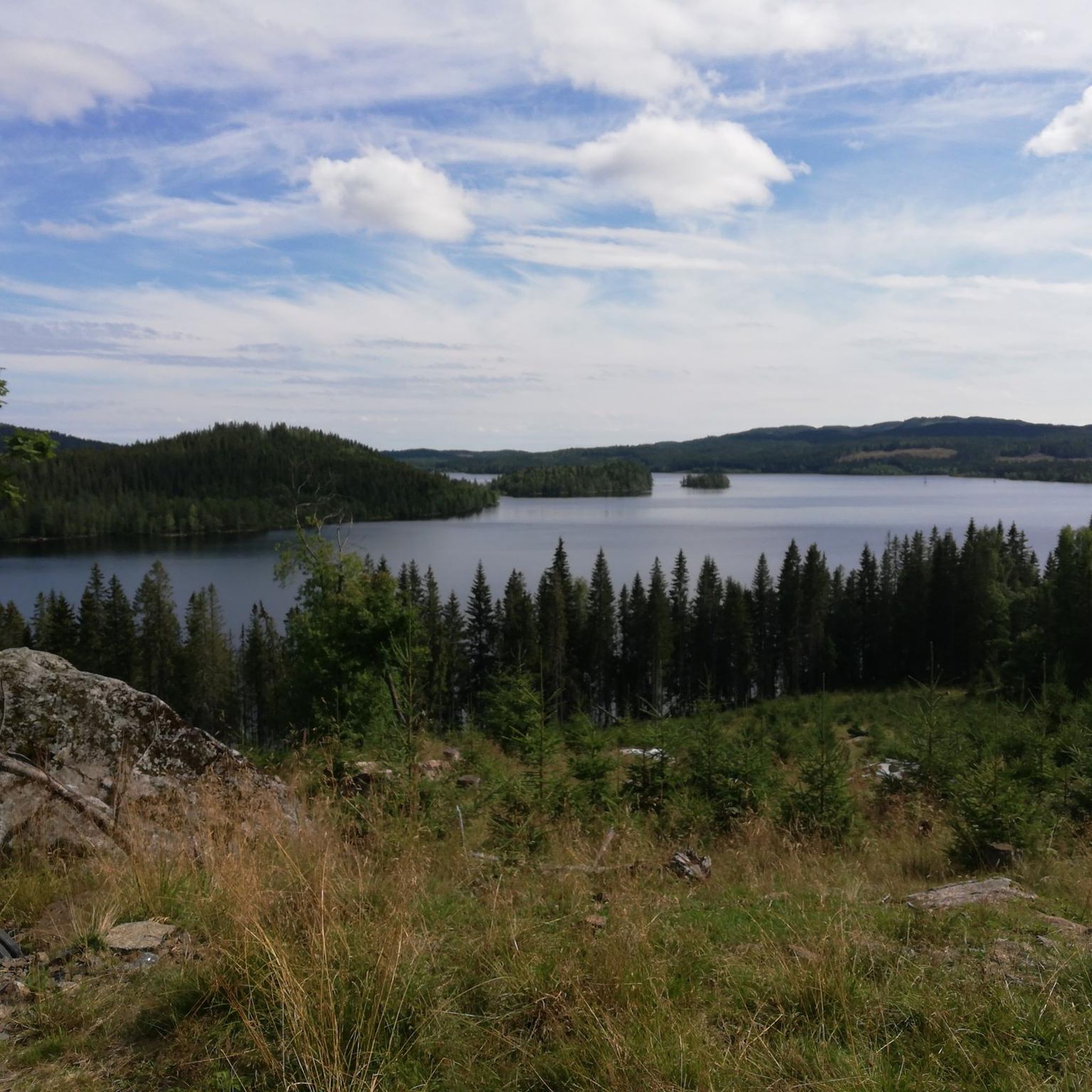
Tips from the Community

The two churches Although they stand side by side, they were built for different purposes and have different sizes: St. Nicholas Church (to the right in the picture) is the largest of the two. It is a three-aisled basilica built around 1150, with seating for around 250 people. It was originally built as a county church (main church) for Hadeland, and was dedicated to St. Nicholas — the patron saint of seafarers, travelers, and merchants. The church's towering spire has historically also served as an important landmark and defensive tower. St. Mary's Church (to the left in the picture) is the smallest. This is a smaller, single-aisled long church built around 1160, with seating for around 150 people. It was probably originally built as a local parish church or monastery church, and is dedicated to the Virgin Mary.
0
0

Fun gravel section downhill, but keep aware of traffic if need be :)
0
0


Frequently Asked Questions
What kind of terrain can I expect when road cycling in Pipra Og Storrsjøhøgda Naturreservat?
The region is characterized by a "småkollete landscape," meaning it features hilly terrain with elevations ranging from approximately 513 to 606 meters above sea level. You'll encounter numerous smaller hills and prominent ridge areas, often traversing deeply incised valleys with steep rock walls. The routes predominantly wind through expansive old-growth spruce forests, offering a dynamic cycling experience with varied ascents and descents.
How many road cycling routes are available in Pipra Og Storrsjøhøgda Naturreservat?
There are 5 road cycling routes available in Pipra Og Storrsjøhøgda Naturreservat, catering to various skill levels from easy to difficult.
Are there road cycling routes suitable for different skill levels?
Yes, the area offers routes for various skill levels. You can find easy, moderate, and difficult options. For example, the Hakadalselva loop from Hakadal is an easy 14.5-mile (23.3 km) route, while the Milsteinberget – Bjertnesbråtan loop from Harestua is a challenging 52.1-mile (83.9 km) ride.
What are some of the more challenging road cycling routes in the area?
For experienced cyclists seeking a challenge, routes like the Milsteinberget – Bjertnesbråtan loop from Harestua, covering 52.1 miles (83.9 km) with significant elevation gain, or the Milsteinberget – Kjørvensæteråsen loop from Grua, a 43.1-mile (69.3 km) route, offer demanding climbs and descents through the region's hilly terrain.
Are there any easy road cycling routes for beginners or those looking for a relaxed ride?
Yes, the Hakadalselva loop from Hakadal is an easy 14.5-mile (23.3 km) route, typically completed in about 1 hour and 7 minutes, making it a great option for a more relaxed ride through varied landscapes.
When is the best time of year for road cycling in Pipra Og Storrsjøhøgda Naturreservat?
The best time for road cycling in Pipra Og Storrsjøhøgda Naturreservat is generally during the warmer months, from late spring to early autumn, when the roads are clear of snow and ice, and the forest environment is most inviting. Always check local weather conditions before heading out.
What natural features or landmarks can I see along the road cycling routes?
The routes primarily showcase the reserve's natural beauty, including its "småkollete landscape" with numerous smaller hills, prominent ridge areas like Kolsjørøet and Storsjøhøgda, and deeply incised valleys. The dominant feature is the expansive old-growth spruce forest, providing a rich and immersive natural environment throughout your ride.
Are there any circular road cycling routes available?
Yes, all the road cycling routes listed are designed as loops, allowing you to start and end at the same point. Examples include the Kjørvensæteråsen – Milsteinberget loop from Harestua and the Hakadalselva loop from Hakadal.
Where can I park when visiting Pipra Og Storrsjøhøgda Naturreservat for road cycling?
While specific parking areas are not detailed in the route descriptions, many routes start from locations like Harestua and Hakadal. It is advisable to check local municipality websites or komoot tour details for recommended parking spots near the starting points of your chosen route.
Is Pipra Og Storrsjøhøgda Naturreservat accessible by public transport?
Information on direct public transport access to the reserve's cycling route starting points is not readily available. For the most accurate and up-to-date public transport options, it is recommended to consult local transport authorities or plan your journey using a public transport planner for destinations like Harestua or Hakadal, which serve as common starting points for these routes.
What kind of road surfaces can I expect on the cycling routes?
The routes in Pipra Og Storrsjøhøgda Naturreservat for touring cycling and gravel rides often feature a mix of paved surfaces and gravel paths. While this guide focuses on road cycling, be prepared for varied surfaces that contribute to the region's diverse cycling experience.
Most popular routes in Pipra Og Storrsjøhøgda Naturreservat

Get inspired with the komoot mobile app


Explore more
Browse the best Road cycling routes in other regions.
