The best running trails around Saint-Seine
4.5
(3)
63
runners
15
runs
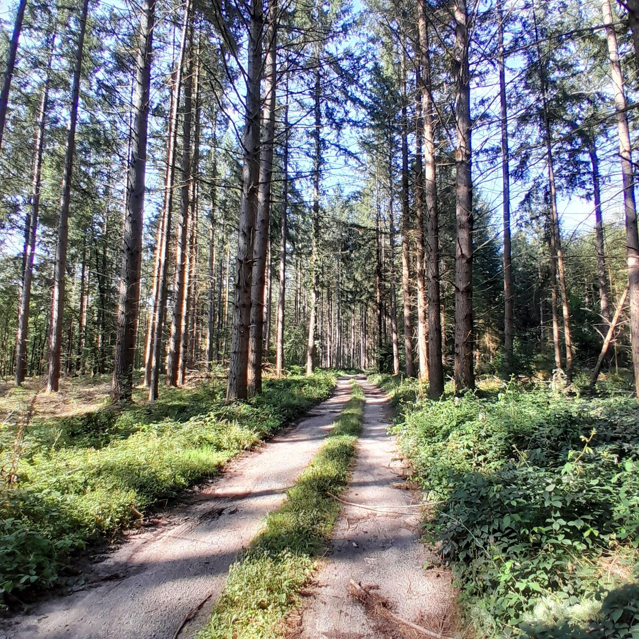
Jogging routes around Saint-Seine traverse a landscape characterized by extensive woodlands and open countryside in Burgundy. The region is notable for being the historical source of the Seine River, offering a unique natural feature for outdoor activities. Runners can explore varied topography, from gentle paths through forests to more challenging inclines. These natural features provide diverse terrain for different fitness levels.
Best jogging routes around Saint-Seine
- The most popular jogging route is Signal of Mont – Mount Signal loop from…
Last updated: July 4, 2026
5.0
(2)
20
runners
5.00km
00:34
30m
30m
Moderate run. Good fitness required. Mostly paved surfaces. Suitable for all skill levels.
9
runners
5.60km
00:41
130m
130m
Moderate run. Good fitness required. Mostly paved surfaces. Suitable for all skill levels.

Sign up for free
5
runners
15.6km
01:50
370m
370m
Hard run. Very good fitness required. Mostly paved surfaces. Suitable for all skill levels.
6
runners
6.99km
00:47
30m
30m
Moderate run. Good fitness required. Mostly paved surfaces. Suitable for all skill levels.
6
runners
12.2km
01:26
180m
180m
Moderate run. Good fitness required. Mostly paved surfaces. Suitable for all skill levels.
Get access to more routes and recommendations from other explorers.
Sign up for free
Already have an account?
Our route recommendations are based on thousands of hikes, rides, and runs completed by other people on komoot.
Start today with a free account
Your next adventure awaits.
Login or Signup
Other adventures around Saint-Seine

Tips from the Community

The Signal de Mont is located at an altitude of 469 meters. The observation tower is 12 meters high and offers a 360° panorama of the rolling Burgundy landscape. You can decipher the view thanks to the eight orientation tables. At the foot of the tower, you will find the remains of a World War II aircraft defense post.
0
0


This is a beautiful medieval town. There are a few restaurants and cafes - I can only recommend everyone to stop here, it's worth it!
0
0

The Bois de la Teugne is a beautiful forest area that is home to a mixture of deciduous and thorny trees. In the middle of the wood, the Signal de Mont culminates at 469 meters above sea level.
1
0
At 469 meters above sea level, the Signal de Mont is one of the remarkable peaks of southern Burgundy. A belvedere as well as an orientation table allow a beautiful reading of the surrounding countryside.
1
0
Renowned for the quality of its thermal waters, Bourbon-Lancy is a beautiful medieval town with colorful households full of history.
1
0

Observation tower with a wonderful view.
0
0
Frequently Asked Questions
How many running routes are available in Saint-Seine?
There are over a dozen running routes around Saint-Seine, offering a variety of options for different preferences and fitness levels. All routes are currently rated as moderate.
What kind of terrain can I expect on the running trails around Saint-Seine?
The running trails in Saint-Seine primarily traverse scenic woodlands and open countryside. You'll find varied topography, from gentle paths through forests to more challenging inclines, providing a refreshing and natural environment for runners.
Are there any circular running routes in Saint-Seine?
Yes, many of the running routes in Saint-Seine are circular loops, allowing you to start and finish at the same point. For example, the Signal of Mont – Mount Signal loop from Signal de Mont is a popular circular option.
What do other runners say about the trails in Saint-Seine?
The running routes in Saint-Seine are highly rated by the komoot community, with an average score of 5.0 stars. Runners often praise the quiet woodlands and the diverse natural features of the area.
Can I run near the historical Source of the Seine River?
Yes, the region around Saint-Seine-l'Abbaye is notable as the historical source of the Seine River. Jogging near this iconic natural landmark offers a serene and historically rich experience, with routes like the 'Source of the Seine Trail' providing access to this area.
Are there any notable landmarks or viewpoints along the running trails?
Absolutely. The area offers several points of interest. You can find routes that pass by the Signal of Mont, which is a summit offering views. The broader region also features the Breuil Pond and the Celerons viewpoint, which provides fantastic views over the Combe des Vaux des Roches gorge.
Is the GR®2 trail suitable for running near Saint-Seine?
Yes, Saint-Seine-l'Abbaye is the starting point of the GR®2, an 858 km scenic route that follows the Seine River. The initial section of this trail, particularly in its eastern part, is relatively easy to traverse and well-suited for running, winding through woodlands and countryside. You can find more information about the GR2 trail on burgundy-tourism.com.
Are there any longer running options for experienced runners?
While all routes are rated moderate, you can find longer options. The Étang Chaillet loop from Champ des Bois is a 9.7 km (6.0 miles) trail that takes about 1 hour 2 minutes to complete, offering a good distance through woodlands.
Are the running routes in Saint-Seine family-friendly?
Many of the routes are suitable for families, especially those looking for moderate distances through natural settings. Shorter, easier loops like the 'Source of the Seine – Pont Paul Lamarche loop' (6.13 km) are perfect for easier jogs with family.
Can I bring my dog on the running trails?
The extensive trail networks through woodlands and countryside around Saint-Seine are generally dog-friendly. However, it's always recommended to keep your dog on a leash, especially in areas with wildlife or near agricultural land, and to check for any specific local regulations.
What is a good running route that includes a lake?
The Plage De L'Étang Marnant loop from La Nocle-Maulaix is an excellent choice. This 7.0 km (4.3 miles) path features scenic views near the Étang Marnant and through the surrounding countryside, offering a refreshing lakeside running experience.
Most popular attractions around Saint-Seine

Get inspired with the komoot mobile app


Explore more
Browse the best Running Trails & Routes in other regions.
