The best walks and hikes around Klausdorf
4.4
(1506)
6,507
hikers
23
hikes
Hiking trails around Klausdorf offer a diverse landscape characterized by coastal paths, dense forests, and inland stretches. The region, situated near the Baltic Sea, provides varied terrain with generally gentle ascents and descents. Hikers can explore scenic areas that showcase the maritime influence and natural beauty, including views of the coastline and local woodlands.
Best hiking trails around Klausdorf
- The most popular hiking route is Barhöft Harbor – Barhöft Observation Tower loop from Klausdorf, a 7.0 miles (11.2 km)…
Last updated: August 31, 2026
4.6
(102)
345
hikers
11.0km
02:47
30m
30m
Moderate hike. Good fitness required. Easily-accessible paths. Suitable for all skill levels.
4.6
(27)
157
hikers
4.37km
01:07
20m
20m
Easy hike. Great for any fitness level. Easily-accessible paths. Suitable for all skill levels.

Sign up for free
4.4
(21)
80
hikers
25.0km
06:21
70m
70m
Hard hike. Very good fitness required. Easily-accessible paths. Suitable for all skill levels.
5.0
(5)
19
hikers
7.02km
01:47
20m
20m
Easy hike. Great for any fitness level. Easily-accessible paths. Suitable for all skill levels.
4.9
(15)
83
hikers
8.37km
02:08
20m
20m
Moderate hike. Good fitness required. Easily-accessible paths. Suitable for all skill levels.
Get access to more routes and recommendations from other explorers.
Sign up for free
Already have an account?
Our route recommendations are based on thousands of hikes, rides, and runs completed by other people on komoot.
Start today with a free account
Your next adventure awaits.
Login or Signup
Tips from the Community


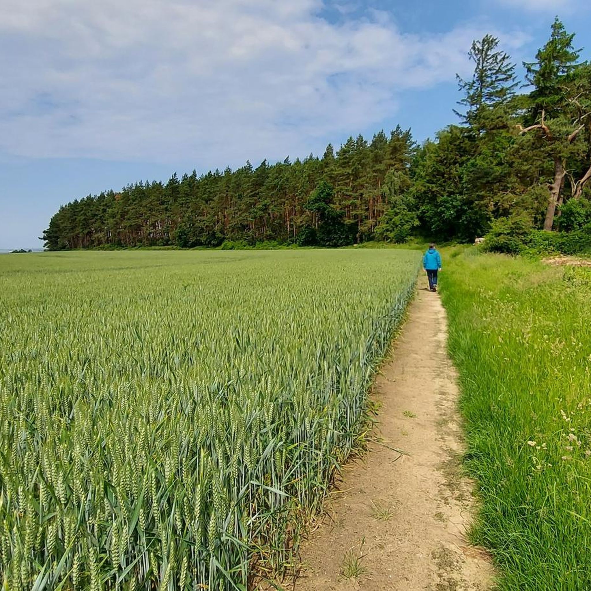
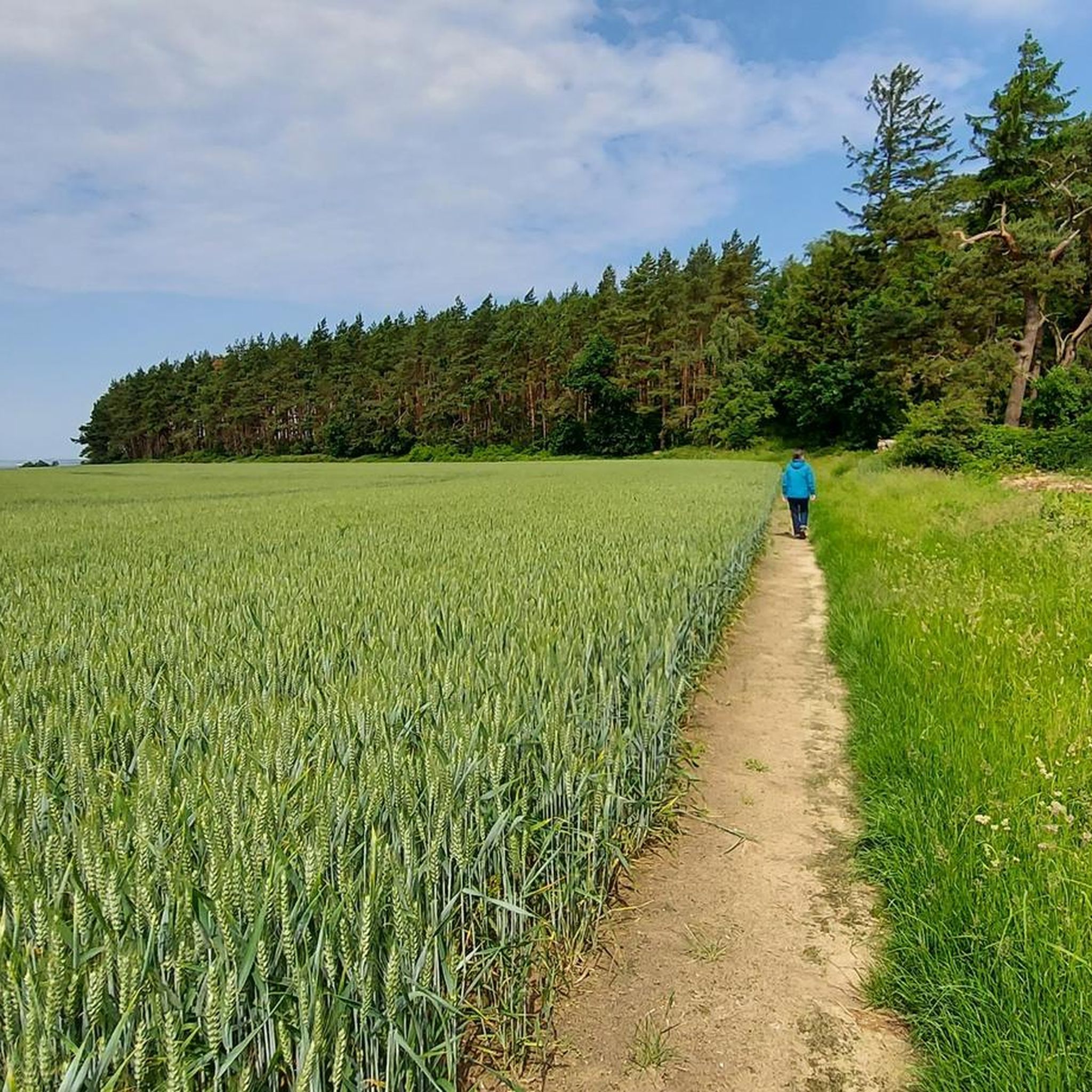
During harvest time, a visit is definitely worthwhile, because snacking is explicitly allowed here.
0
0


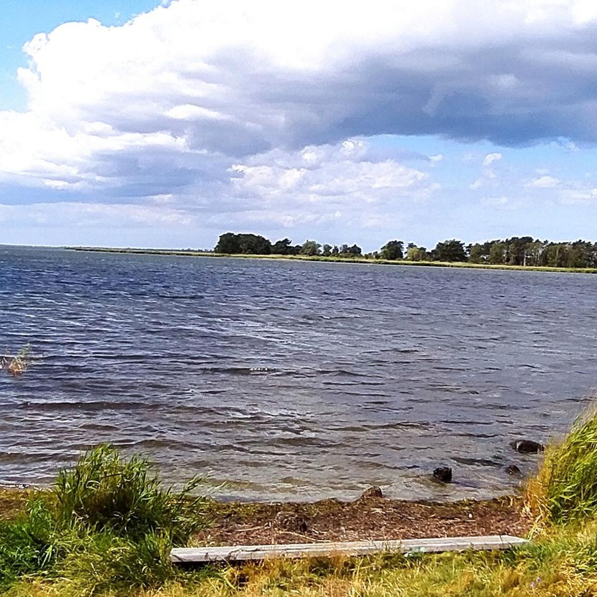
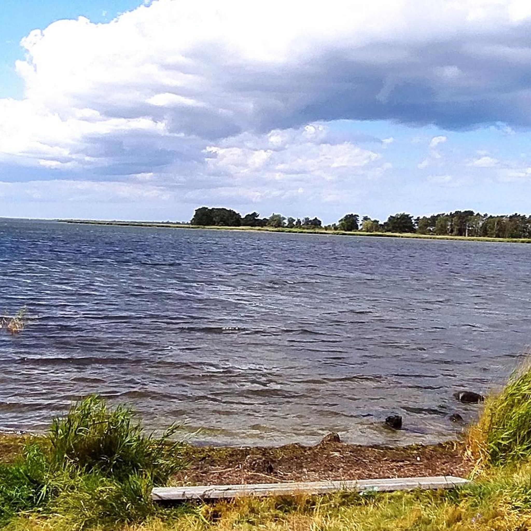
This lovely bathing spot offers everything you could wish for. It's not crowded, being small and easy to navigate. Furthermore, the lack of any restaurants or cafes in the immediate vicinity makes it relatively quiet and peaceful. It's also easily accessible via the cycle path. The bathing area is partially screened from view by vegetation along the cycle path. There's a nice little sandy beach at the entry point.
2
0

Beautiful view of the island of Rügen and the old town of Stralsund 🔝👍🏻😉‼️
5
0

If you like it quiet with a view, great cycling routes
0
1
It is just a bathing bay, nothing exciting
1
0
Frequently Asked Questions
How many hiking trails are available in Klausdorf?
Klausdorf offers a diverse network of over 25 hiking trails. These routes cater to various preferences, ranging from easy strolls to more challenging long-distance treks, allowing you to explore the region's coastal paths, forests, and scenic inland areas.
What kind of terrain can I expect on hikes around Klausdorf?
The hiking terrain in Klausdorf is quite varied, characterized by coastal paths, dense forests, and inland stretches. You can expect generally gentle ascents and descents, making many routes accessible. The region's proximity to the Baltic Sea means you'll often encounter maritime influences and scenic views of the coastline.
Are there any long-distance hiking opportunities in Klausdorf?
Yes, Klausdorf is connected to the international E9 Atlantic-Baltic coastal trail, which offers extensive trekking opportunities. This long-distance route features varied terrain, alternating between coastal paths and inland sections, generally without significant elevation changes, making it suitable for multi-day adventures.
What natural features or landmarks can I see on hikes around Klausdorf?
Hikers in Klausdorf can discover a range of natural features and landmarks. You might encounter impressive coastal cliffs like the Barhöft Cliff, serene lakes such as those highlighted in Lakes around Klausdorf, and various natural monuments. The region also features unique attractions like the Cliff Art Sculptures near Barhöft.
Are there any viewpoints offering scenic vistas in Klausdorf?
Absolutely. For panoramic views, consider visiting the Pramort Observation Tower or the Kranorama Observation Tower. The Barhöft Observation Tower also provides excellent coastal perspectives. Additionally, the Observation platform at Günzer See offers views over the lake.
Are there family-friendly hiking trails in Klausdorf?
Yes, Klausdorf offers several easy trails suitable for families. The region is known for accessible paths, particularly in areas like the Klausbachtal (though this specific valley is not directly in Klausdorf, it exemplifies the region's accessibility). Many of the 15 easy routes in Klausdorf are perfect for multi-generational outings, some even accommodating strollers or wheelchairs.
Can I bring my dog on the hiking trails in Klausdorf?
Generally, dogs are welcome on the hiking trails in Klausdorf. It's always recommended to keep your dog on a leash, especially in nature reserves, near wildlife, or in areas with other hikers. Please be mindful of local regulations and clean up after your pet to ensure a pleasant experience for everyone.
Are there any circular hiking routes in Klausdorf?
Yes, Klausdorf features several excellent circular hiking routes. A popular option is the Barhöft Observation Tower – Barhöft Harbor loop from Bock, an easy 3.0-mile path offering views of the harbor. Another is the Barhöft Harbor – Klausdorfer Beach loop from Barhöft, a moderate 12.1-mile route.
What do other hikers enjoy most about hiking in Klausdorf?
The hiking trails in Klausdorf are highly rated by the komoot community, with an average score of 4.5 stars from over 230 reviews. Hikers often praise the diverse landscapes, including coastal views and tranquil forests, as well as the well-maintained paths that cater to various skill levels. The opportunity to explore both maritime and inland beauty is frequently highlighted.
Is there public transport access to hiking trailheads in Klausdorf?
Public transport options to reach hiking trailheads in Klausdorf are available, though their frequency and directness can vary. It's advisable to check local bus schedules or regional transport services in advance to plan your journey to specific starting points for your hike.
Where can I find parking for hiking trails in Klausdorf?
Parking for hikers is generally available near popular trailheads and attractions in Klausdorf. For example, you might find designated parking areas close to Barhöft Harbor or other key starting points. The Sandische Wiese Bike Parking and Trail to Hohe Düne also indicates parking facilities in the broader area.
Most popular attractions around Klausdorf

Get inspired with the komoot mobile app


Explore more
Browse the best Hikes in other regions.
