Easy hikes and walks around the Adige
4.5
(49862)
243,827
hikers
3,128
hikes
Easy hiking trails around the Adige traverse a diverse landscape shaped by the Adige River, extending from the alpine peaks of the Dolomites and Ötztal Alps to the valley's vineyards and orchards. The region features a network of paths along riverbanks, around scenic lakes, and through charming valleys. Elevation gains on these trails are generally gentle, making them suitable for accessible walks.
Best easy hiking trails around the Adige
- The most popular easy hiking route is Lake Haider Loop Trail, a 3.4 miles (5.5 km) trail that takes 1 hour 26 minutes to complete, offering views of the iconic submerged church tower.
- Another top favourite among local hikers is From Hochmuth to Leiteralm, an easy 2.8 miles (4.5 km) path. This route provides panoramic views of the surrounding alpine scenery and valleys.
- Local hikers also love the Verona and the View from Castel San Pietro — loop tour, a 3.2 miles (5.1 km) trail leading through urban and historical landscapes, often completed in about 1 hour 21 minutes.
- Hiking around the Adige is defined by dramatic alpine peaks, extensive vineyards, and picturesque lakes. The network offers options for various ability levels, with a focus on accessible and family-friendly routes.
- The routes in Adige are highly rated by the komoot community with an average score of 4.5 stars from over 47,000 reviews. More than 235,000 hikers have used komoot to explore Adige's varied terrain.
Last updated: June 23, 2026
4.7
(562)
2,896
hikers
5.48km
01:26
40m
40m
Embark on an easy hike around the scenic Haidersee Loop Trail, a gentle 3.4-mile (5.5 km) path that offers picturesque views of the surrounding mountains. You will experience a minimal elevation gain of just 132 feet (40 metres), making it a relaxed journey suitable for all skill levels. The route typically takes about 1 hour and 25 minutes to complete, allowing you to fully immerse yourself in the tranquil atmosphere and enjoy the natural beauty of the lake. As you walk, keep an eye out for the distinctive reed beds that line the shore, providing a habitat for various bird species.
Planning your visit to the Haidersee Loop Trail is straightforward, as the path is accessible throughout the year. Even in winter, the trail is often cleared, offering a unique opportunity for snow hiking. This route is particularly family-friendly, with its flat terrain making it suitable for strollers. You will find several inviting picnic spots along the way, perfect for a break to enjoy the panoramic vistas of the Vinschgau valley and the towering Ortler Group.
The Haidersee Loop Trail stands out for its serene environment and the stunning backdrop of the Ortler Group, including prominent peaks like Ortler itself. The lake's reed beds are not just visually appealing; they are a vital ecosystem supporting diverse bird and fish populations, and you might even spot graceful swans gliding across the water. This trail offers a peaceful escape, connecting you with the natural splendor of the region without demanding strenuous effort.
4.7
(263)
1,396
hikers
4.52km
01:24
170m
170m
Hike the Meraner Höhenweg: Hans-Frieden-Felsenweg, an easy 2.8-mile trail with 562 feet of elevation gain, offering panoramic views of Meran

Sign up for free
4.5
(44)
158
hikers
5.10km
01:21
50m
50m
Embark on an easy hike through Verona's historic center, a route that brings you close to ancient Roman architecture and vibrant city life. This 3.2-mile (5.1 km) loop offers a gentle ascent of 166 feet (51 metres), leading you to the scenic heights of Castel San Pietro. You can expect to complete this journey in about 1 hour and 21 minutes, making it a perfect way to experience the city's charm without a strenuous effort. As you walk, you will feel the city's pulse, passing by iconic structures like Ponte Pietra and the ancient Roman Theatre, all while enjoying the pleasant atmosphere of Verona.
To reach Castel San Pietro, you have a couple of convenient options. You can take a scenic stairway located near Ponte Pietra, which typically takes about 15 minutes to climb. Alternatively, a funicular offers a quicker and less strenuous way to reach the top. There are no specific warnings about permits or seasonal closures for this route, so you can plan your visit with ease. Consider starting your hike in the morning or late afternoon to enjoy the best light and avoid the busiest times in the city center.
This route is notable for its unique blend of historical exploration and breathtaking cityscapes. From the Piazzale Castel San Pietro, you will be treated to a wide panoramic view of Verona, where you can clearly see the city's distinctive terracotta rooftops, numerous church spires, and the graceful curve of the Adige River winding through the urban landscape. It offers a different perspective on Verona, allowing you to appreciate its layout and historical depth from above, after having walked through its ancient streets.
4.7
(22)
98
hikers
5.12km
01:35
200m
190m
This easy 3.2-mile (5.1 km) ring tour in Fai della Paganella offers panoramic views of the Adige Valley and takes about 1 hour and 34 minute
4.8
(348)
1,888
hikers
7.00km
01:54
100m
100m
Easy hike. Great for any fitness level. Easily-accessible paths. Suitable for all skill levels.
4.7
(24)
137
hikers
2.22km
00:57
190m
190m
Easy hike. Great for any fitness level. Easily-accessible paths. Suitable for all skill levels.
4.8
(273)
1,807
hikers
Easy hike. Great for any fitness level. Easily-accessible paths. Suitable for all skill levels.
4.3
(8)
73
hikers
5.50km
01:27
50m
50m
Circuit around the Alps' warmest swimming lake through protected wetlands and apple orchards.
4.7
(144)
922
hikers
4.91km
01:21
80m
80m
Easy hike. Great for any fitness level. Easily-accessible paths. Suitable for all skill levels.
4.6
(74)
449
hikers
5.89km
01:39
110m
110m
Easy hike. Great for any fitness level. Easily-accessible paths. Suitable for all skill levels.
Get access to more routes and recommendations from other explorers.
Sign up for free
Already have an account?
Our route recommendations are based on thousands of hikes, rides, and runs completed by other people on komoot.
Start today with a free account
Your next adventure awaits.
Login or Signup
Popular around Adige

L1 from Garmisch to Brescia – Far from the classic Alpine crossings
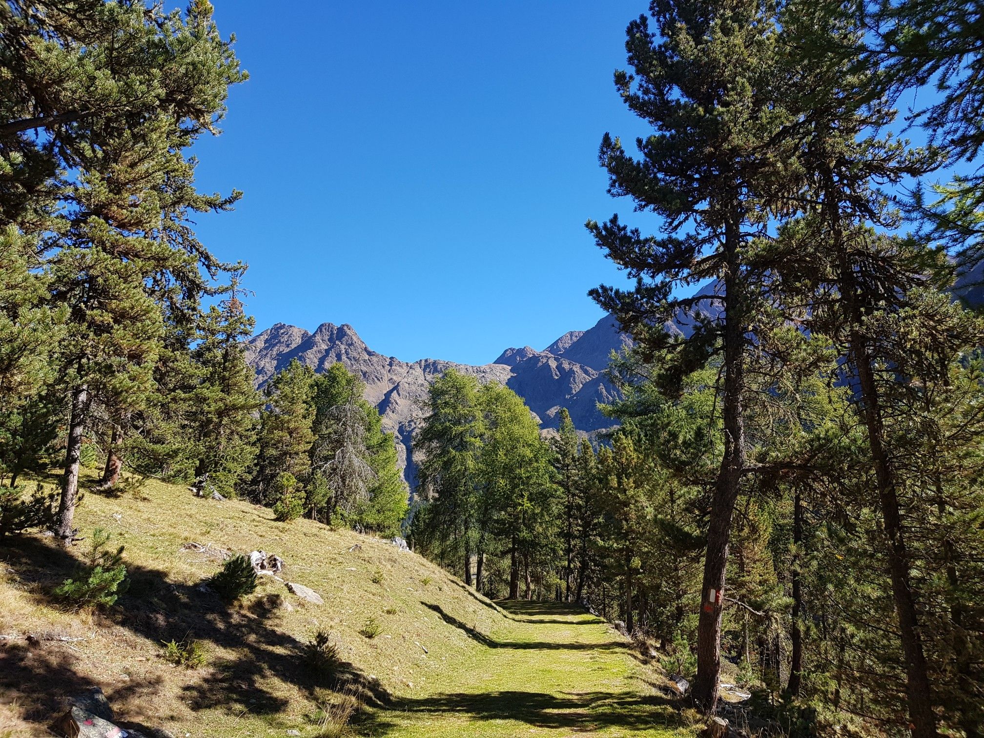
Vinschger Höhenweg – hiking South Tyrol's Sonnenberg mountain
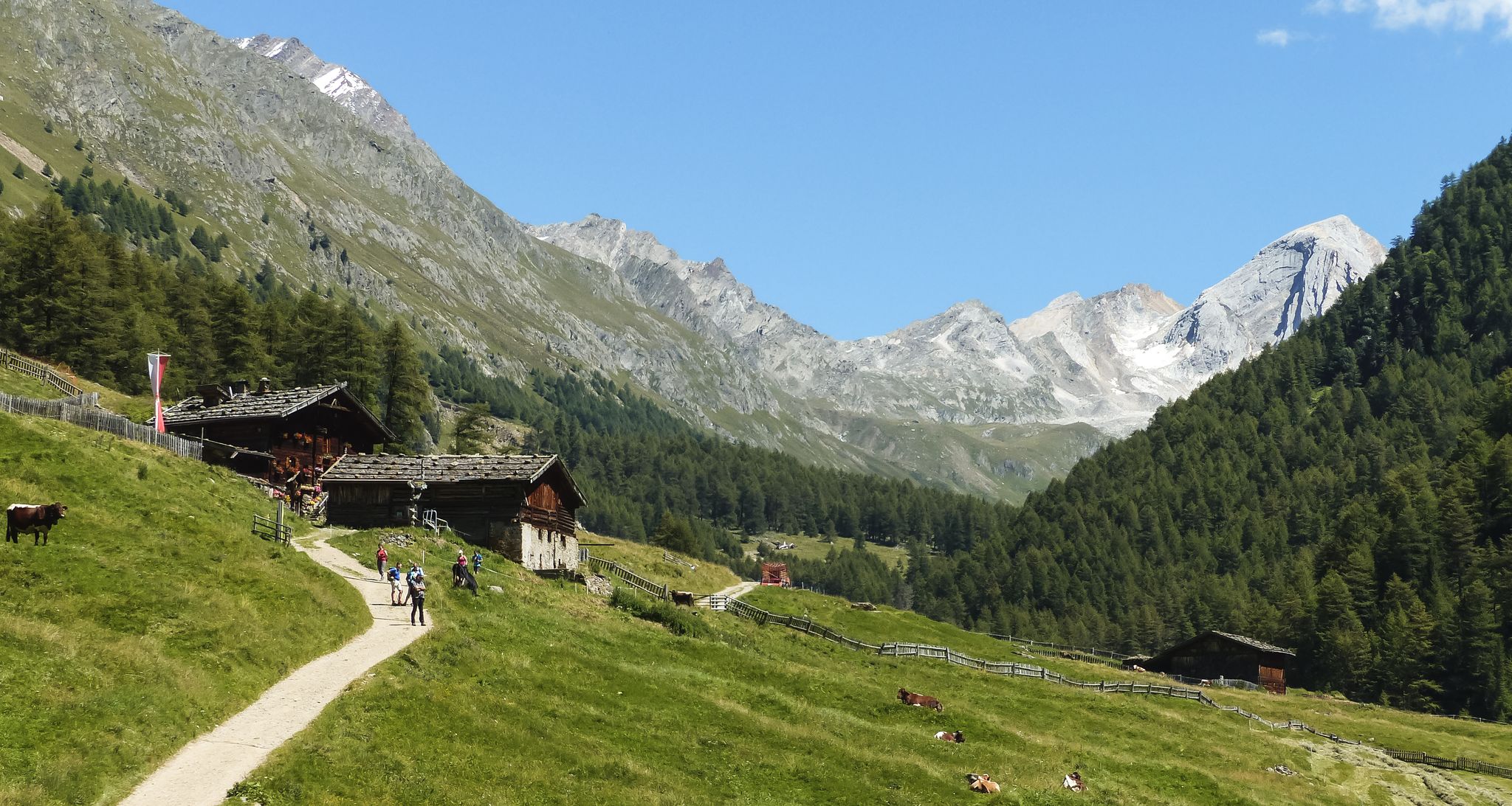
Meraner Höhenweg — in 8 stages through sunny South Tyrol

The Path of Peace – journey into Trentino's history
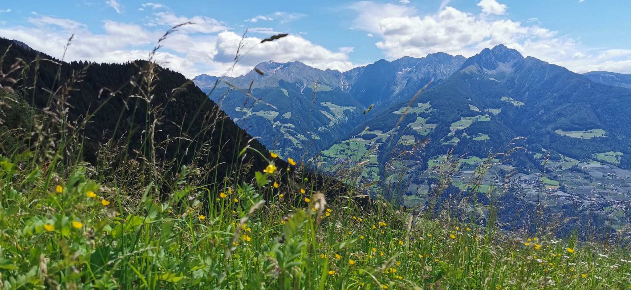
Extraordinary mountains – hiking around Merano in northern Italy
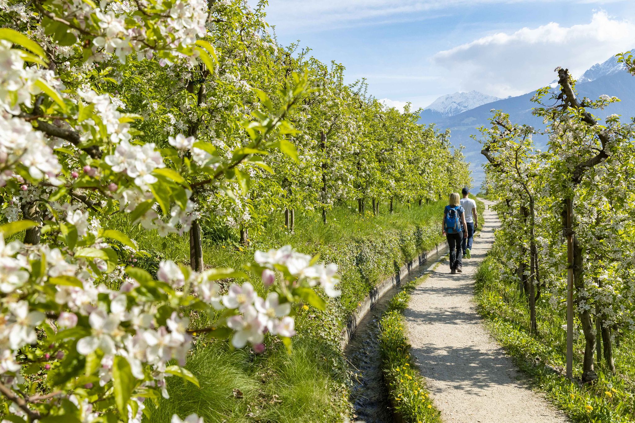
On the trail of the water along Italy’s Marlinger Waalweg
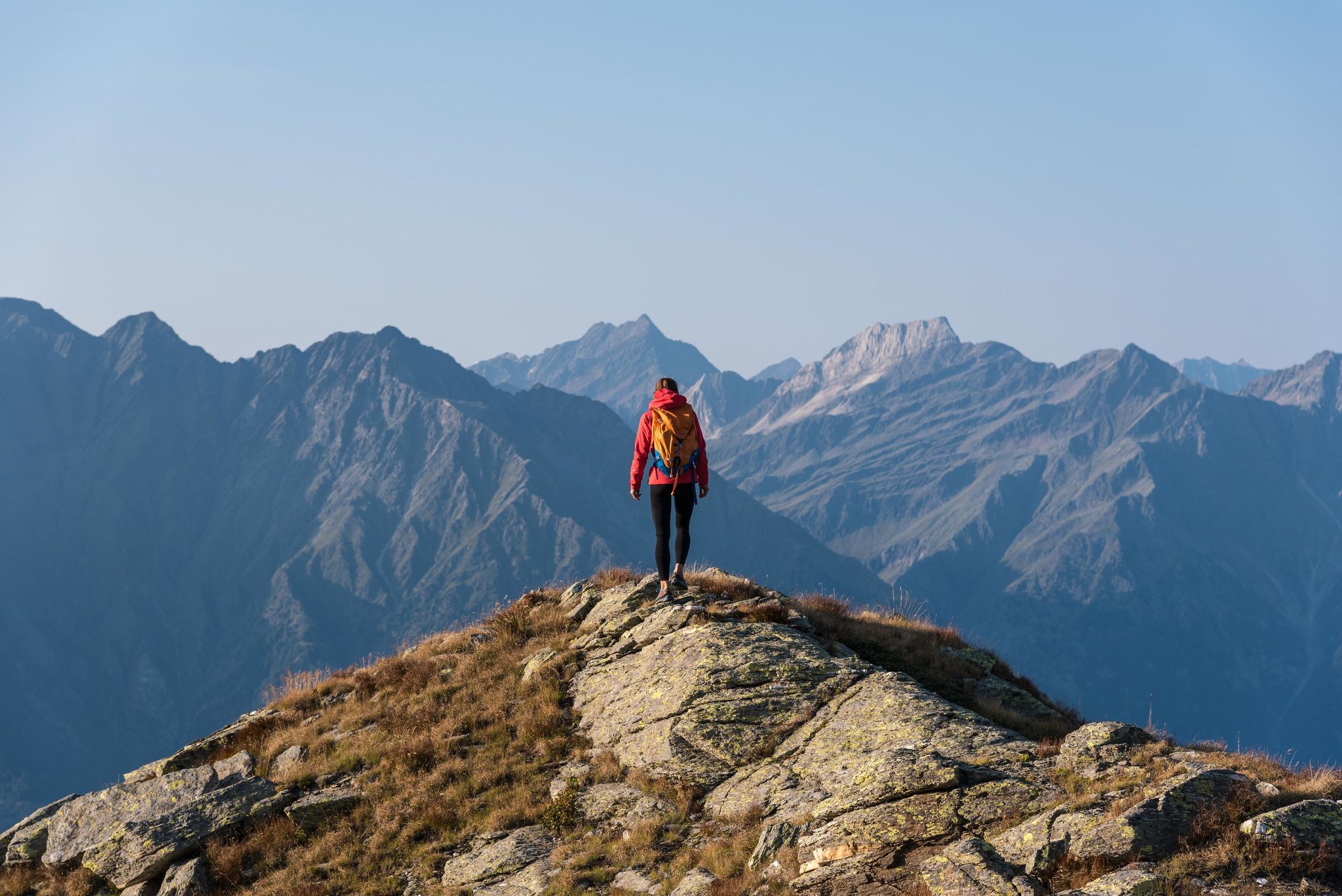
A Mediterranean-alpine paradise – day hikes in Italy’s Naturno

The most beautiful waterfalls of the Alps

Road to Lisbon – bikepacking the Alps, Pyrenees and Picos de Europa
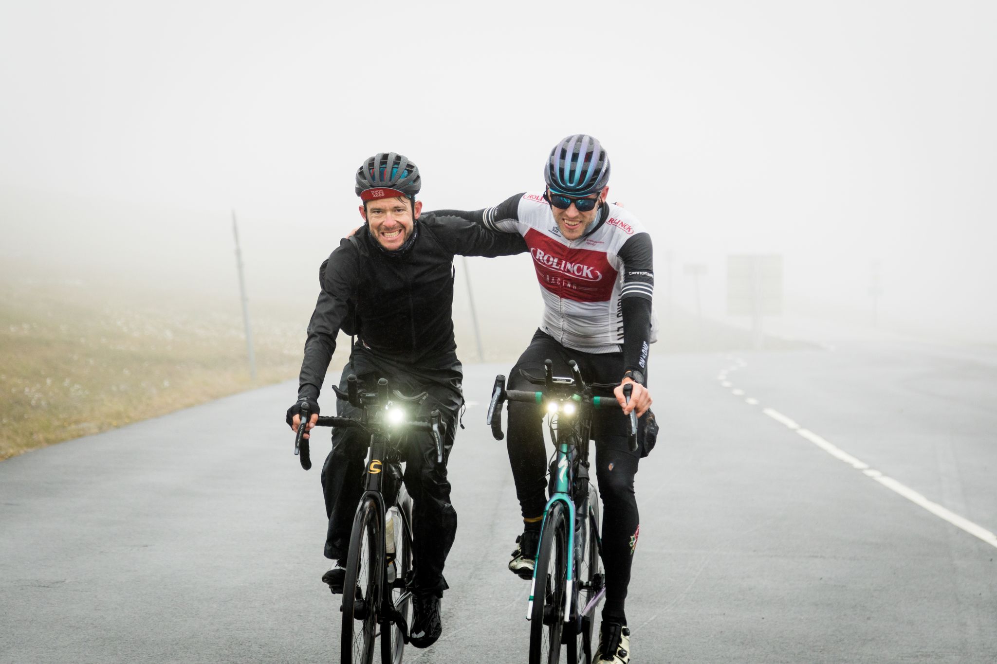
NorthCape4000 – 12 days from Lake Garda to the North Cape
Other adventures around the Adige


Tips from the Community

Beautiful entrance to the historic and culturally rich city of Verona. If you take a trip to Verona, I definitely recommend going through this gate to give you the perfect excursion feeling. Directly behind the gate is Brä Square and thus also a beautiful park and of course the historic Arena
2
0

Fai della Paganella on a natural panoramic terrace in Trentino is the ideal starting point for outdoor sports and alpine regeneration.
1
0


A few parking spaces are available at the station, more or less in the center of town. A restaurant and bar are also available.
0
0

Very short way into town
1
0

We always enjoy using the Algunder Waalweg to arrive and warm up in South Tyrol before embarking on more challenging tours.
0
0

Frequently Asked Questions
How many easy hiking trails are available in the Adige region?
The Adige region offers a vast network of paths, with over 1,000 easy hiking trails suitable for various ability levels. In total, komoot lists nearly 3,000 hiking routes across the region, catering to all preferences.
What kind of terrain can I expect on easy hikes in the Adige Valley?
Easy hikes in the Adige Valley feature diverse terrain, from leisurely strolls through picturesque apple orchards and extensive vineyards to paths along riverbanks and around scenic lakes. You'll also find trails through charming valleys and gentle ascents in the lower alpine areas, often with well-marked paths.
Are there any circular easy hiking routes in the Adige region?
Yes, many easy trails in the Adige region are designed as circular routes, allowing you to start and end at the same point. A popular option is the Lake Haider Loop Trail, which offers stunning views of the iconic submerged church tower. Another highly-rated circular route is the Lake Caldaro Circuit Trail.
What are some notable landmarks or natural features to see on easy Adige hikes?
The Adige region is rich in natural beauty and historical sites. On easy hikes, you can encounter the dramatic peaks of the Dolomites, the picturesque Adige River, and beautiful lakes like Lake Reschen with its iconic submerged church tower (Church Tower in Lake Resia (Reschensee)). You might also spot historical castles, such as Leuchtenburg Castle, or unique geological formations like the Earth Pyramids on the Renon Plateau.
Are there any easy hikes that feature waterfalls in the Adige area?
Yes, the Adige region offers opportunities to see waterfalls on some trails. For example, the Schlandraunbach Waterfall is a notable natural feature you might encounter in the area, particularly around the gorges. While not all easy trails lead directly to waterfalls, many pass through scenic areas where such features can be found.
Is the Adige region suitable for family-friendly easy hikes?
Absolutely. The Adige region is well-suited for family-friendly easy hikes, with many routes featuring gentle elevation gains and well-maintained paths. These trails often pass through vineyards, orchards, or along lakes, providing engaging scenery for all ages. The focus on accessible routes makes it ideal for families with children.
Can I bring my dog on easy hiking trails in the Adige Valley?
Many easy hiking trails in the Adige Valley are dog-friendly, allowing you to explore the beautiful landscapes with your canine companion. It's always recommended to keep your dog on a leash, especially in nature reserves or areas with livestock, and to check local regulations for specific trails. The varied terrain, from riverbanks to forest paths, offers plenty for dogs to enjoy.
What is the best time of year for easy hiking in the Adige region?
The Adige region is beautiful for easy hiking throughout much of the year. Spring brings blooming orchards and mild temperatures, while summer offers warm weather perfect for lakeside walks. Autumn is particularly stunning with vibrant fall foliage in the vineyards and forests. Even winter can offer unique experiences on cleared paths, especially in the lower valleys.
How do other hikers rate the easy trails in the Adige region?
The easy hiking trails in the Adige region are highly regarded by the komoot community, with an impressive average rating of 4.5 stars from over 47,000 reviews. Hikers frequently praise the well-marked paths, diverse scenery, and the accessibility of the routes, making it a popular choice for outdoor enthusiasts.
Are there cafes or places to eat along easy hiking trails in the Adige Valley?
Yes, especially in the more populated areas and along popular routes, you can often find cafes, restaurants, or traditional 'Buschenschänken' (farm taverns) where you can stop for refreshments. Many trails pass through charming towns and villages, offering opportunities to enjoy local cuisine and take a break.
Are there easy hikes accessible by public transport in the Adige region?
Many areas in the Adige region are well-served by public transport, including buses and trains, making it possible to access numerous easy hiking trails without a car. This is particularly true for routes near larger towns or along the main valleys. Checking local transport schedules in advance is always advisable.
Where can I find parking for easy hikes in the Adige Valley?
Parking is generally available at trailheads, near popular attractions, or in the towns and villages that serve as starting points for easy hikes in the Adige Valley. Many areas have designated parking lots, though some may require a fee. It's recommended to arrive early during peak season to secure a spot.
Most popular routes around the Adige
Most popular attractions around the Adige

Get inspired with the komoot mobile app


Explore more
Browse the best Hikes in other regions.
