Easy hikes and walks in Massa-Carrara
4.5
(3486)
17,519
hikers
809
hikes
Easy hiking trails in Massa-Carrara traverse a diverse landscape, ranging from the rugged peaks of the Apuan Alps to the Tyrrhenian coastline. The region is characterized by unique geological formations, including white marble quarries and karst landscapes, alongside the forested slopes of the Tuscan-Emilian Apennines in the Lunigiana area. This varied terrain offers a mix of mountain views, coastal paths, and woodland trails.
Best easy hiking trails in Massa-Carrara
- The most popular easy hiking route is Castles of Lunigiana Cycleway, a 2.9 miles (4.6 km) trail that takes 1 hour 13 minutes to complete. This route offers a gentle path through the historical Lunigiana area.
- Another top favourite among local hikers is Via Francigena from Liguria to Tuscany (via Passo della Cisa), an easy 4.1 miles (6.5 km) path. This section follows a historical pilgrimage route, connecting two regions.
- Local hikers also love the Marina di Carrara Harbour Wall – Faro del Molo di Ponente loop from Marina di Carrara, a 3.8 miles (6.1 km) trail leading through coastal scenery, often completed in about 1 hour 31 minutes.
- Hiking in Massa-Carrara is defined by the dramatic Apuan Alps, the distinctive white marble quarries, and scenic coastal paths. The network offers options for various ability levels, including many easy hiking trails.
- The routes in Massa-Carrara are highly rated by the komoot community with an average score of 4.5 stars from over 2,600 reviews. More than 14,000 hikers have used komoot to explore Massa-Carrara's varied terrain.
Last updated: October 10, 2026
4.7
(10)
40
hikers
4.63km
01:14
50m
50m
Easy hike. Great for any fitness level. Easily-accessible paths. Suitable for all skill levels.
4.0
(1)
6
hikers
6.55km
01:58
210m
210m
Easy hike. Great for any fitness level. Easily-accessible paths. Suitable for all skill levels.

1
hikers
4.32km
01:18
140m
140m
Easy hike. Great for any fitness level. Easily-accessible paths. Suitable for all skill levels.
4.0
(9)
224
hikers
Easy hike. Great for any fitness level. Easily-accessible paths. Suitable for all skill levels.
4.1
(18)
80
hikers
6.67km
01:52
130m
130m
Easy hike. Great for any fitness level. Easily-accessible paths. Suitable for all skill levels.
5.0
(2)
112
hikers
Easy hike. Great for any fitness level. Easily-accessible paths. Suitable for all skill levels.
5.0
(1)
16
hikers
4.37km
01:10
40m
40m
Easy hike. Great for any fitness level. Easily-accessible paths. Suitable for all skill levels.
4.5
(24)
51
hikers
6.08km
01:56
240m
240m
Easy hike. Great for any fitness level. Easily-accessible paths. Suitable for all skill levels.
4.9
(13)
72
hikers
5.77km
01:42
170m
170m
Easy hike. Great for any fitness level. Easily-accessible paths. Suitable for all skill levels.
4.0
(1)
60
hikers
Easy hike. Great for any fitness level. Easily-accessible paths. Suitable for all skill levels.
Get access to more routes and recommendations from other explorers.
Already have an account?
Our route recommendations are based on thousands of hikes, rides, and runs completed by other people on komoot.
Start today with a free account
Your next adventure awaits.
Popular around Massa-Carrara

Berceto to Abetone – Alta Via dei Parchi (part 1)
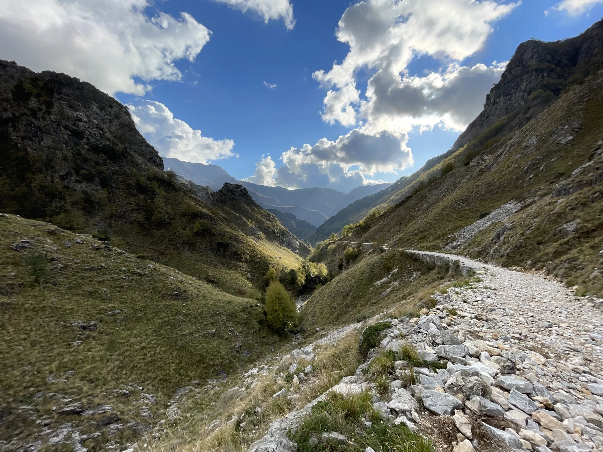
18th-century route from Modena to Massa – Via Vandelli
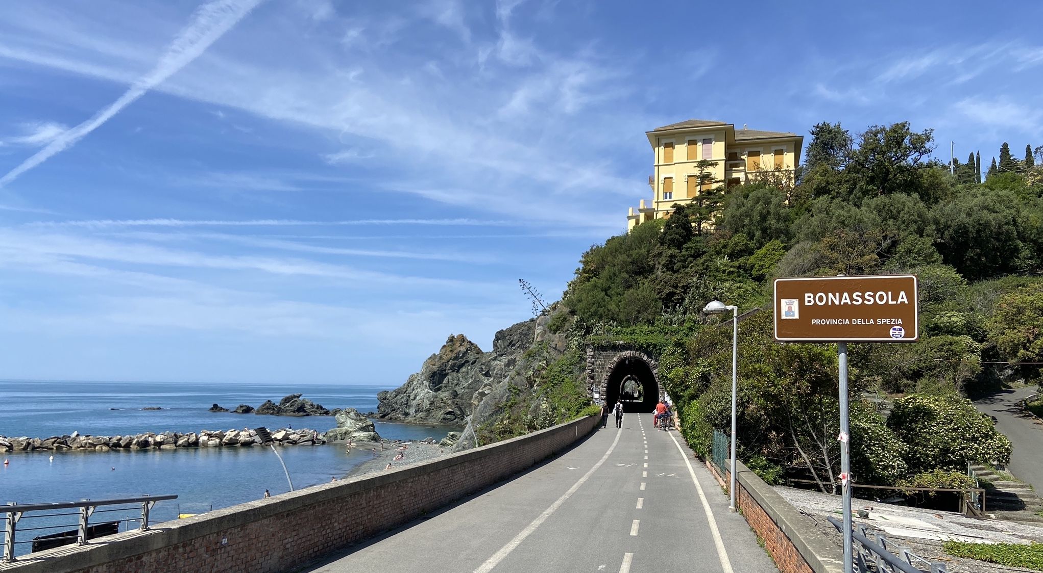
Pedalling to Portofino and the Cinque Terre — sea and mountains
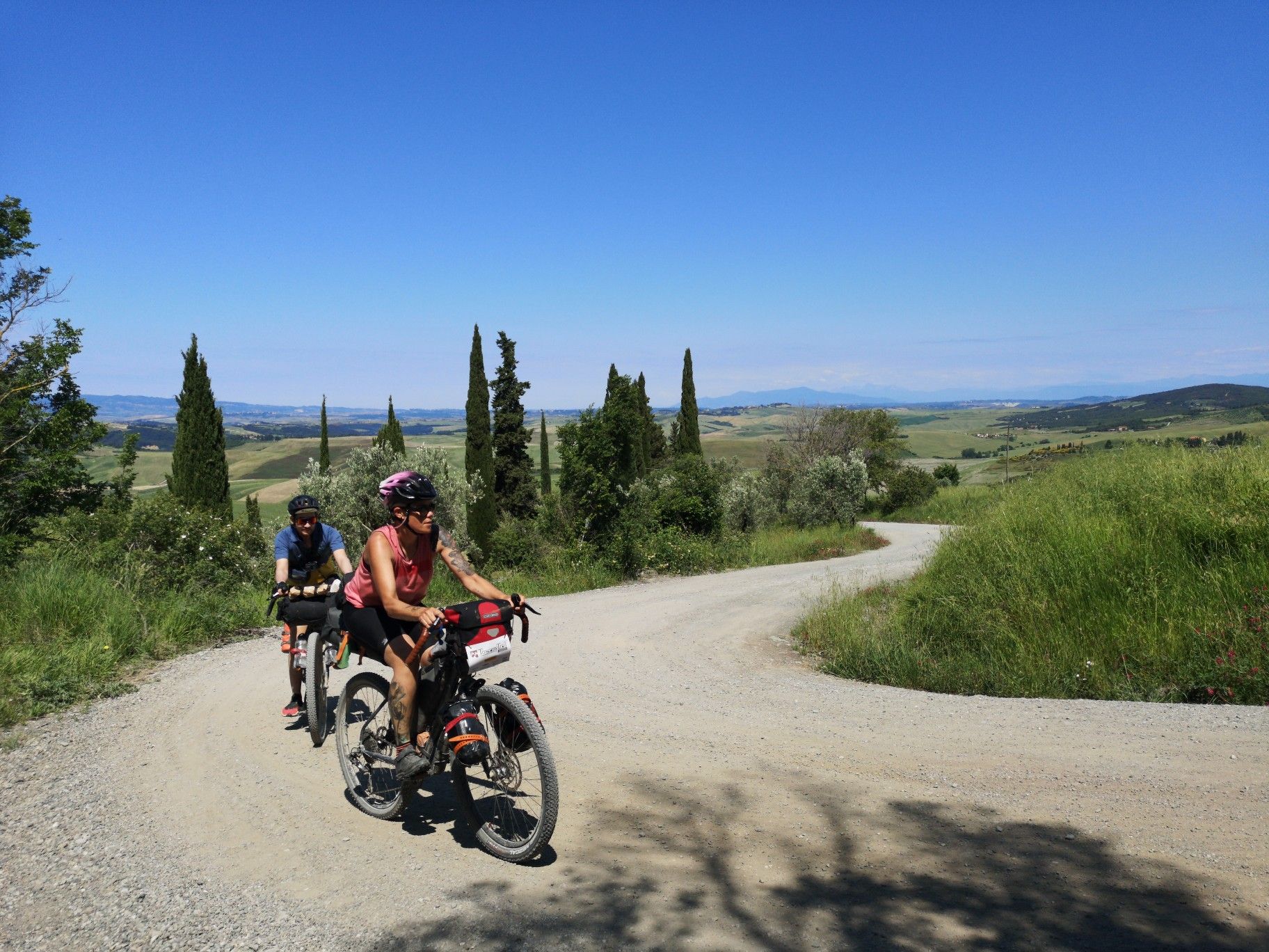
The Tuscany Trail – bikepacking in the heart of Italy
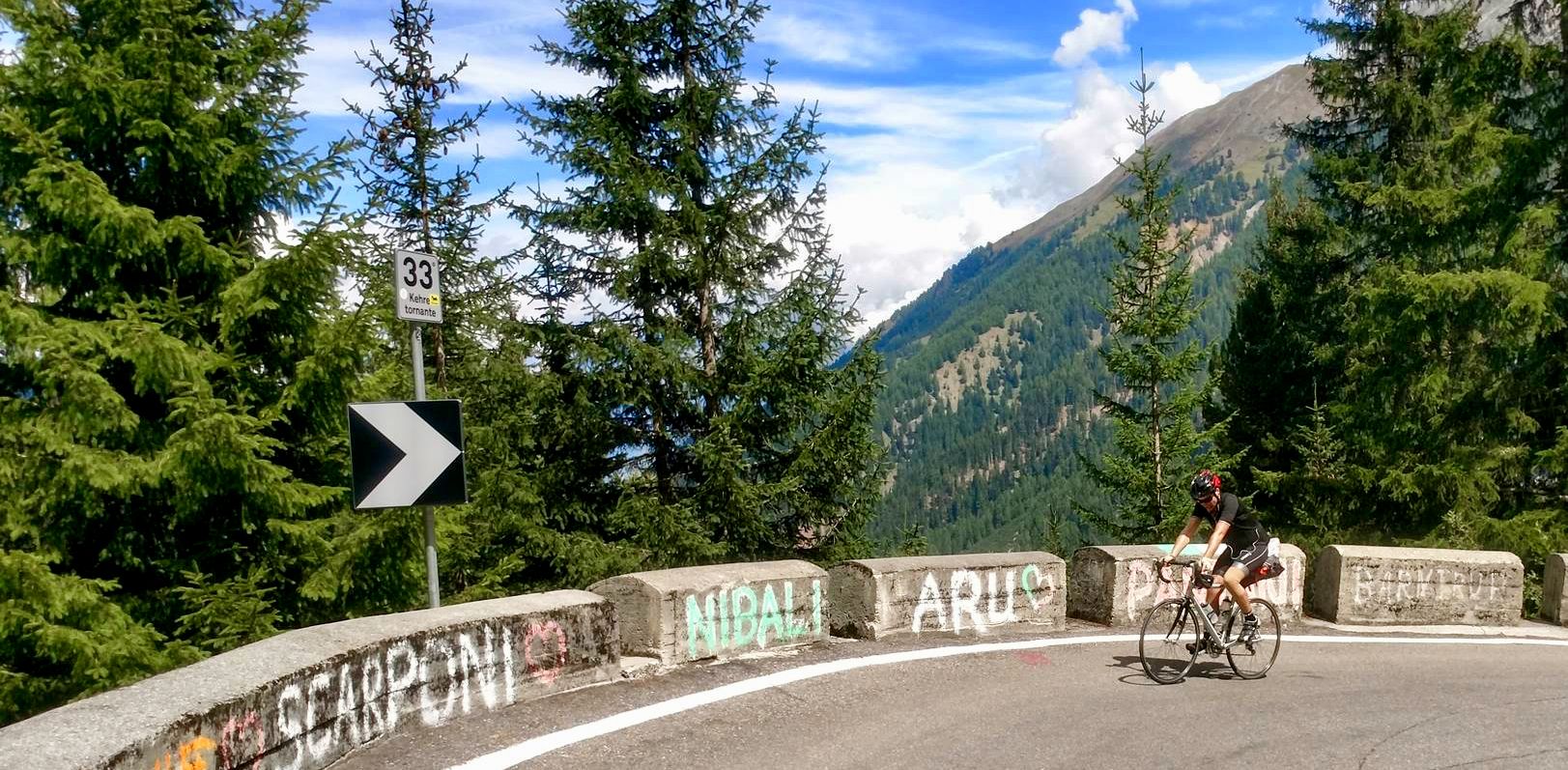
From the mountains to the sea — road cycling in Northern Italy
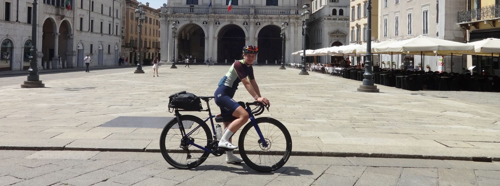
The Pizza Pilgrimage – Milan to Naples, fuelled by pizza

Interiora - A Journey into the Remote Areas of Italy
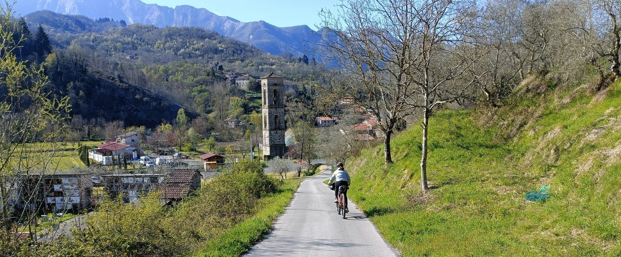
Mediaeval villages and sublime nature – Lunigiana Gravel
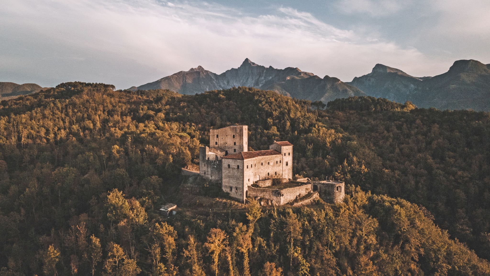
Through history between Lunigiana and Garfagnana – Via del Volto Santo by MTB
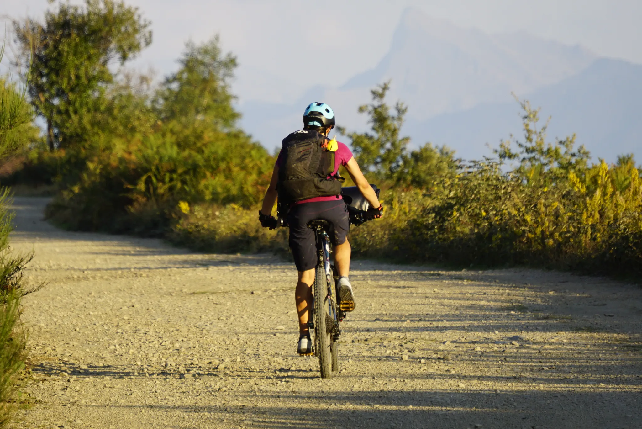
The land of 100 castles – Lunigiana Trail MTB
Other adventures in Massa-Carrara


Tips from the Community

A beautiful church with a huge dome and opulent baroque architecture
0
0
In the Centro Storico is the central main square, the Piazza della Repubblica
0
0
The historic center captivates with stately Baroque palaces and elegant squares
1
0
Pontremoli lies on the important historical pilgrimage route of the Via Francigena
0
0
Pontremoli, as the northernmost municipality of Tuscany, is also known as the "Gateway to Tuscany". It is a pretty medieval gem, nestled in a valley at the confluence of the Magra and Verde rivers and the hills of the Apuan Alps. The name probably derives from "Pons Tremulus" trembling bridge, a nod to a historic medieval wooden bridge over the rushing Magra river.
0
0
Pontremoli is a station for pilgrims on the Via Francigena on the way from Canterbury to Rome and is marked with pilgrim signposts.
0
0

The Castello del Piagnaro and the Museum of the Lunigianesi Stele Statues "Augusto Cesare Ambrosi" form one of the most fascinating historical and archaeological complexes in Tuscany. Located in Pontremoli (Massa-Carrara), this millennial site dominates the medieval village and holds a prehistoric enigma unique in Europe.
0
0
The Ponte del Casotto (also historically known as Ponte dei Seratti or Ponte di San Francesco di sotto) is one of the most important and characteristic medieval bridges in Pontremoli, located in the picturesque historical region of Lunigiana. Together with its tower, the structure has represented the official symbol imprinted on the coat of arms of the Municipality for centuries.
0
0
Frequently Asked Questions
How many easy hiking trails are there in Massa-Carrara?
Massa-Carrara offers a wide selection of easy hiking trails. You can explore over 230 easy routes, part of a larger network of more than 750 trails across the region, catering to various preferences and abilities.
What kind of landscapes can I expect on easy hikes in Massa-Carrara?
Easy hikes in Massa-Carrara showcase a diverse range of landscapes. You'll find trails winding through the dramatic Apuan Alps, offering views of the famous white marble quarries, as well as paths along the sparkling Tyrrhenian coastline. Further inland, the Lunigiana area provides softer, forested slopes with beech, chestnut, and oak trees. This unique blend allows for experiences ranging from 'mountains overlooking the sea' to tranquil woodlands.
Are there easy hikes suitable for families with children?
Yes, Massa-Carrara has several family-friendly options. The Campocecina area is particularly popular, featuring large meadows and trails like the Mount Ballerino Loop Trail, which is also an educational path for discovering local biodiversity. These routes are generally well-suited for families looking for a relaxed outdoor experience.
Can I find easy trails that feature waterfalls?
Absolutely! For an easy hike with beautiful waterfalls, consider the Bozzi delle Fate Waterfalls – Fiacciano Waterfalls loop from Fivizzano. This 6.5 km (4.1 miles) trail offers a refreshing experience through natural cascades. Another option is the Waterfall at the Mill Ruin loop from Biglio, a shorter 2.7 km (1.7 miles) route.
Are there any easy circular hiking routes in Massa-Carrara?
Yes, many easy trails in Massa-Carrara are circular, allowing you to start and end at the same point. A popular coastal option is the Marina di Carrara Harbour Wall – Faro del Molo di Ponente loop from Marina di Carrara, which is about 6.1 km (3.8 miles). For a shorter coastal walk, try the Largo Marina d'Italia loop from Marina di Carrara, spanning 3.6 km (2.2 miles).
What do other hikers enjoy most about easy trails in Massa-Carrara?
The easy trails in Massa-Carrara are highly regarded by the komoot community, with an average rating of 4.5 stars from over 2,600 reviews. Hikers frequently praise the dramatic contrast between the Apuan Alps and the coast, the unique white marble landscapes, and the historical routes like the Via Francigena. The variety of scenery, from mountain views to coastal paths and lush forests, is often highlighted as a major draw.
Are there easy hikes that offer views of the famous marble quarries?
Yes, some easy trails provide glimpses of the dramatic marble quarries. While many quarry areas involve more challenging terrain, the unique geological formations and the stark white marble against green vegetation are a defining feature of the region. The Campocecina area, for instance, offers views that stretch towards the marble basins and the Tuscan coast.
Are there any historical easy hiking routes in the region?
Massa-Carrara is home to sections of significant historical routes. The Via Francigena from Liguria to Tuscany (via Passo della Cisa) is an easy 6.5 km (4.1 miles) path that follows an ancient pilgrim route, offering a journey through history and scenic landscapes.
What are some interesting landmarks or attractions I can see near easy hiking trails?
Near many easy hiking trails, you can find fascinating attractions. For mountain views, consider highlights like Mount Sagro or Tambura Pass, which offer spectacular vistas. The region also features historical sites and unique natural formations. For more information on local attractions, you might find the itineraries on visitrivieraapuana.it helpful.
Are there easy coastal walks in Massa-Carrara?
Yes, Massa-Carrara offers lovely easy coastal walks. The Marina di Carrara Harbour Wall – Faro del Molo di Ponente loop from Marina di Carrara is a popular 6.1 km (3.8 miles) trail that takes you along the harbor and offers sea views. Another option is the Lake Porta – Lago di Porta Nature Reserve loop from Municipal Airport of Massa Cinquale, a 3.9 km (2.4 miles) route near the coast with natural beauty.
What is the best time of year for easy hiking in Massa-Carrara?
Massa-Carrara offers pleasant hiking conditions for easy trails throughout much of the year. Spring and autumn are particularly ideal, with mild temperatures and vibrant natural colors. Summer can be warm, especially along the coast, but higher elevation trails in the Apuan Alps or shaded woodland paths in Lunigiana remain enjoyable. Winter offers a different charm, with crisp air and potentially snow-dusted peaks, though some higher routes may require more preparation.
Most popular routes in Massa-Carrara
Most popular attractions in Massa-Carrara

Get inspired with the komoot mobile app


