Easy hikes and walks in East Dunbartonshire
4.4
(526)
8,836
hikers
160
hikes
Easy hiking trails in East Dunbartonshire traverse a varied landscape of rolling hills, woodlands, and picturesque lochs. The region is characterized by its diverse terrain, including parts of the Campsie Fells and Kilpatrick Hills, alongside tranquil watercourses like the Forth & Clyde Canal. These features provide a range of accessible paths suitable for easy walks.
Best easy hiking trails in East Dunbartonshire
- The most popular easy hiking route is Café Sonas Bistro – Glen Burn Waterfall loop from Clachan of…
Last updated: October 17, 2026
4.5
(18)
71
hikers
6.80km
01:52
110m
110m
Easy hike. Great for any fitness level. Easily-accessible paths. Suitable for all skill levels.
5.0
(6)
69
hikers
4.69km
01:28
180m
180m
Easy hike. Great for any fitness level. Easily-accessible paths. Suitable for all skill levels.

4.4
(7)
52
hikers
6.80km
01:51
100m
100m
Easy hike. Great for any fitness level. Easily-accessible paths. Suitable for all skill levels.
5.0
(4)
37
hikers
Easy hike. Great for any fitness level. Easily-accessible paths. Suitable for all skill levels.
4.5
(6)
236
hikers
6.21km
01:38
60m
60m
Easy hike. Great for any fitness level. Easily-accessible paths. Suitable for all skill levels.
4.0
(1)
23
hikers
3.63km
01:17
210m
210m
Easy hike. Great for any fitness level. Easily-accessible paths. Suitable for all skill levels.
5.0
(2)
46
hikers
2.48km
00:38
10m
10m
Easy hike. Great for any fitness level. Easily-accessible paths. Suitable for all skill levels.
5.0
(1)
18
hikers
7.69km
02:00
40m
40m
Easy hike. Great for any fitness level. Easily-accessible paths. Suitable for all skill levels.
4.0
(1)
19
hikers
6.07km
01:36
50m
50m
Easy hike. Great for any fitness level. Easily-accessible paths. Suitable for all skill levels.
4.5
(2)
17
hikers
Easy hike. Great for any fitness level. Easily-accessible paths. Suitable for all skill levels.
Get access to more routes and recommendations from other explorers.
Already have an account?
Our route recommendations are based on thousands of hikes, rides, and runs completed by other people on komoot.
Start today with a free account
Your next adventure awaits.
Popular around East Dunbartonshire






Tips from the Community

The location of the 'location' pin on the Bing map is incorrect
0
0

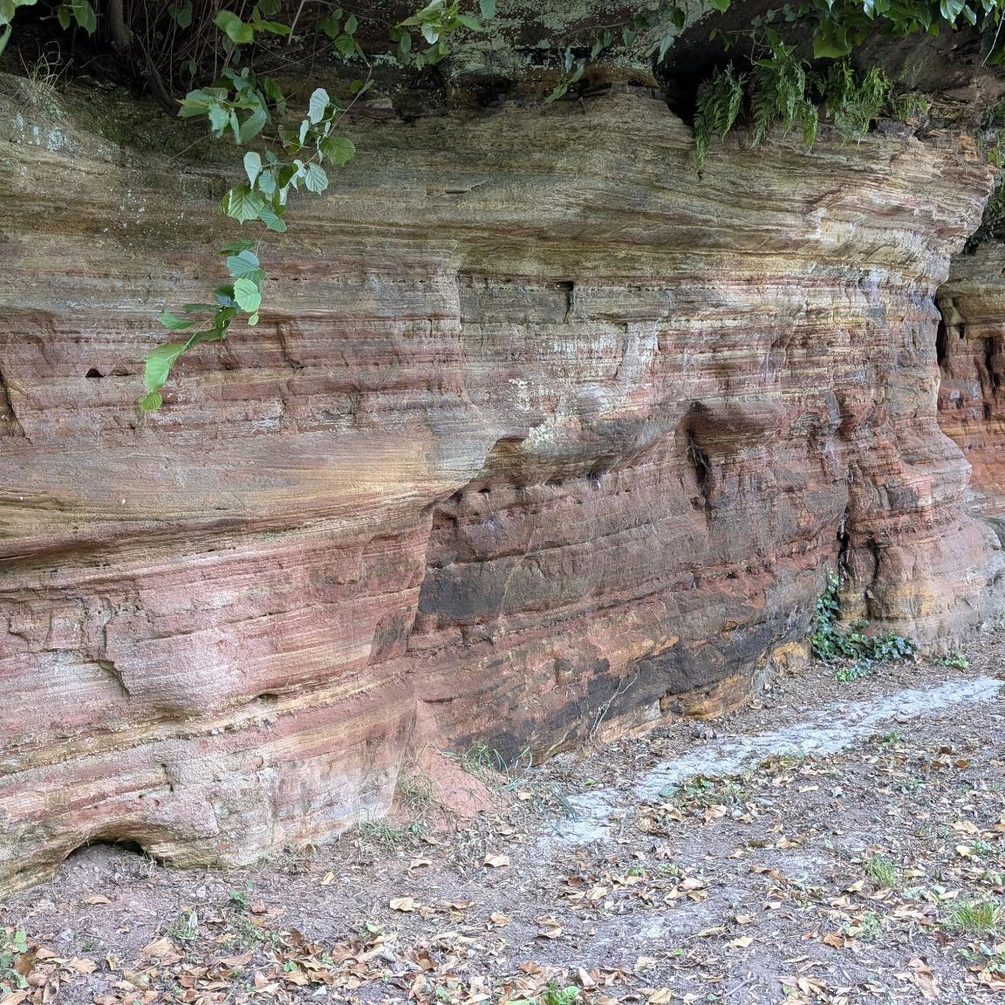
The ruined remains of Lennox Castle. Originally built in ~1840 as a private property it was sold to The Glasgow Corporation (predecessor to the City Council) in 1927 and turned into a hospital for those with learning difficulties. In the 1940's-60's it also operated as a maternity home, and was the birth place of singer Lulu. It closed in 2002 and unfortunately was subject to a fire in 2008 which left it in its current state.
1
0
The final point of the Katrine Aqueducts as the water travels from The Trossachs to Milngavie to serve drinking water to the people of Glasgow. Built in the late 1800's, these reservoirs are a beautiful spot for a walk or cycle with good tracks following the perimeter.
1
0

The Antonine Wall was a turf wall, built on stone foundations by the Romans, about 20 years after Hadrian's Wall. It stretches from coast to coast across the central belt of Scotland. Croy Hill was a minor fort on the wall.
0
0


Unfortunately everything is fenced off, walled up or otherwise blocked off. But not bad for a walk. Unfortunately, it seems that a bunch of unreasonable people throw their rubbish in the forest there. From up here, go down to a mountain bike trail.
0
0

The best part of the route... very doable on a gravel bike
0
0
Frequently Asked Questions
How many easy hiking trails are available in East Dunbartonshire?
East Dunbartonshire offers a wide selection of easy hiking trails, with over 85 routes specifically categorized as easy. In total, the region features more than 170 hiking routes across various difficulty levels, ensuring options for all abilities.
Are there any easy circular walks in East Dunbartonshire?
Yes, many easy trails in East Dunbartonshire are circular, allowing you to start and end at the same point. A popular option is the Mugdock Reservoir – Craigendinnie Measuring Pond loop from Milngavie, which is 3.9 miles (6.2 km) long and offers scenic views around the reservoir. Another is the Milngavie Reservoirs loop from Milngavie, a shorter 1.5 miles (2.5 km) path.
What kind of natural features can I expect to see on easy hikes in East Dunbartonshire?
Easy hikes in East Dunbartonshire often lead through diverse landscapes. You can explore lush woodlands, tranquil lochs like Mugdock Reservoir, and picturesque watercourses. The region also features parts of the Campsie Fells and Kilpatrick Hills, offering rolling hills and occasional panoramic views. For a specific natural highlight, consider the Café Sonas Bistro – Glen Burn Waterfall loop from Clachan of Campsie, which features a beautiful waterfall.
Are there family-friendly easy walks in East Dunbartonshire?
East Dunbartonshire is well-suited for family-friendly walks, with many easy, well-marked paths. Mugdock Country Park is an excellent destination, offering a network of trails through woodlands and moorlands that are suitable for all ages. The towpaths along the Forth and Clyde Canal also provide flat, accessible routes perfect for families.
Can I bring my dog on easy hiking trails in East Dunbartonshire?
Most easy hiking trails in East Dunbartonshire are dog-friendly, provided dogs are kept under control, especially around livestock or in nature reserves. Areas like Mugdock Country Park and the various canal towpaths are popular choices for walks with canine companions. Always remember to clean up after your dog.
What historical sites or landmarks can I explore on easy walks?
East Dunbartonshire is rich in history, and several easy walks allow you to explore significant landmarks. You can walk sections of the UNESCO World Heritage Site, the Antonine Wall, which features Roman fort remains. The Lennox Castle Ruins – Ruins of Lennox Castle loop from Lennoxtown takes you around historic ruins. Additionally, Mugdock Country Park contains ancient ruins like Mugdock Castle and Craigend Castle. You can also visit the West Highland Way Starting Obelisk (Milngavie), marking the beginning of Scotland's famous long-distance route.
What is the best time of year to go easy hiking in East Dunbartonshire?
Spring and autumn are generally considered the best times for easy hiking in East Dunbartonshire. Spring brings blooming wildflowers and milder temperatures, while autumn offers stunning foliage. Summer is also pleasant, though trails can be busier. Winter walks are possible, but some paths might be muddy or icy, so appropriate footwear is essential.
Are there easy trails with good viewpoints in East Dunbartonshire?
While many easy trails in East Dunbartonshire focus on woodlands and watersides, some offer rewarding viewpoints. The Antonine Wall sites, such as Bar Hill, provide excellent views of the surrounding landscape, including the Kilsyth Hills and Campsie Fells. For higher vantage points, even on easy routes, you might catch glimpses of the wider region. The Holehead Weather Radar Station loop from Muir Toll offers elevated views.
How accessible are easy hiking trails by public transport in East Dunbartonshire?
Many areas in East Dunbartonshire, including Milngavie and Lennoxtown, are well-served by public transport, making several easy trails accessible. Milngavie, for instance, is the starting point of the West Highland Way and has good train connections. Bus services also connect various towns and villages, providing access to trailheads and canal paths. It's advisable to check local bus and train schedules for specific route access.
What do other hikers enjoy most about easy trails in East Dunbartonshire?
The easy trails in East Dunbartonshire are highly rated by the komoot community, with an average score of 4.4 stars from over 280 reviews. Hikers often praise the region's diverse scenery, from tranquil lochs and woodlands to historical sites. The well-maintained paths and variety of circular routes are frequently highlighted, making them ideal for relaxed exploration.
Are there any easy walks that follow the Forth and Clyde Canal?
Yes, the Forth and Clyde Canal offers excellent easy walking opportunities. Its towpaths provide flat, well-maintained routes that are perfect for a leisurely stroll. These paths blend natural scenery with historical interest, connecting various towns and offering views of the Kilsyth Hills and Campsie Fells. They are ideal for those seeking a gentle, accessible walk.
Where can I find an easy walk near Lennoxtown?
Near Lennoxtown, you can enjoy the Lennox Castle Ruins – Ruins of Lennox Castle loop from Lennoxtown, an easy 4.2 miles (6.8 km) path that explores the grounds around the historic ruins. Another option is the Café Sonas Bistro – Confluence of Two Rivers loop from Lennoxtown, a 4.6 miles (7.5 km) route offering pleasant riverside scenery.
Most popular routes in East Dunbartonshire
Most popular attractions in East Dunbartonshire

Get inspired with the komoot mobile app


Didn’t find what you were looking for?
Check out more Hikes throughout East Dunbartonshire below and find the perfect route in your destination.
Explore more
Browse the best Hikes in other regions.
