The best walks and hikes in East Dunbartonshire
4.4
(526)
8,836
hikers
160
hikes
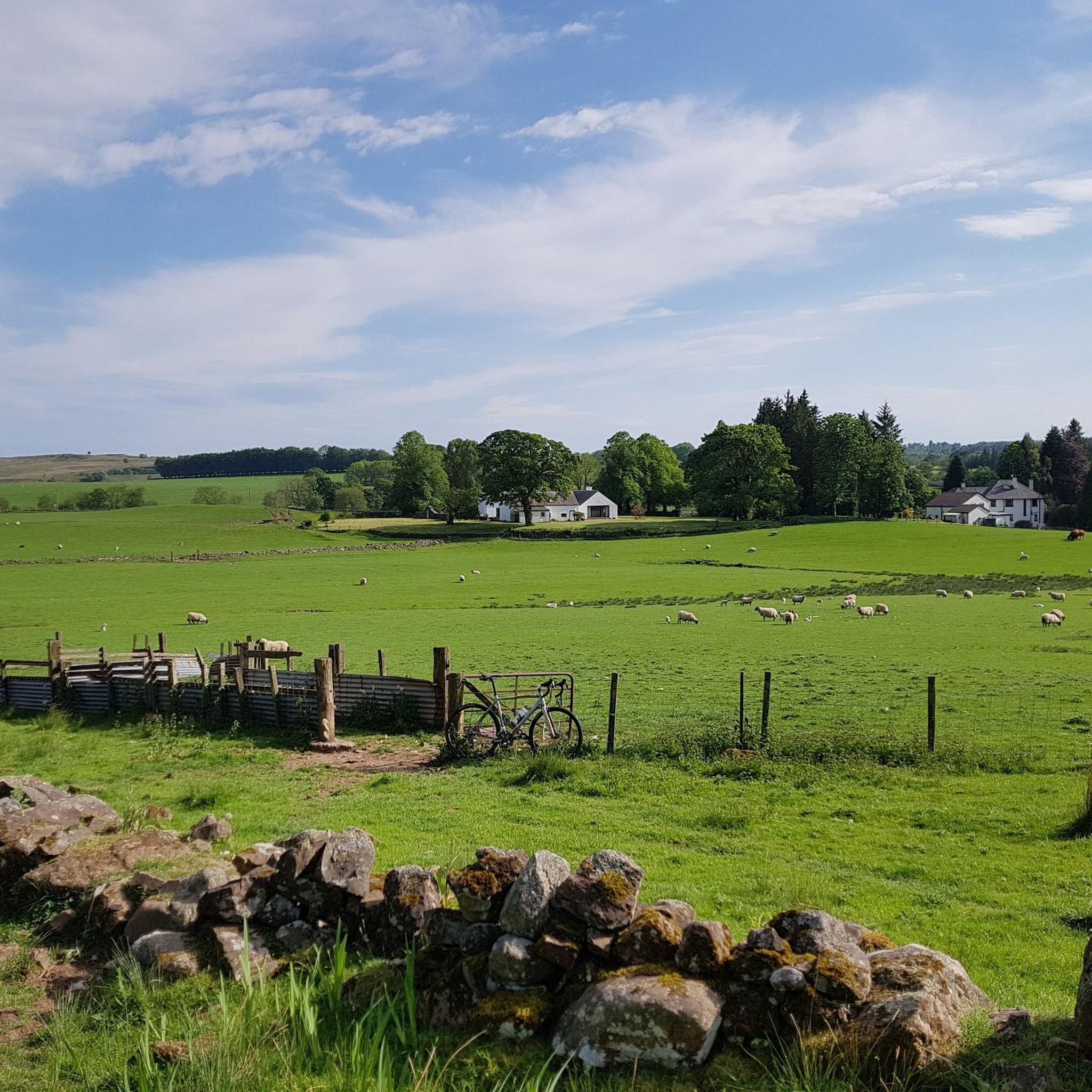
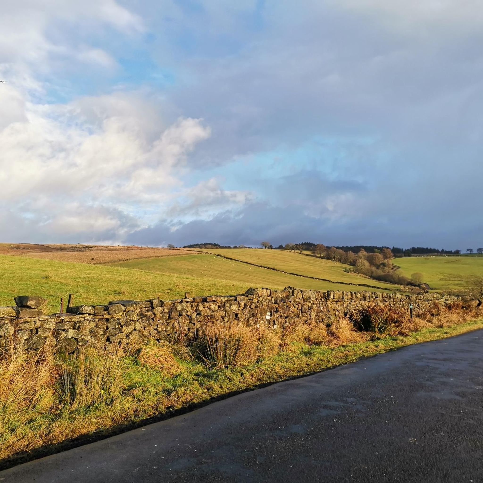
Hiking in East Dunbartonshire offers a mix of rolling hills, tranquil lochs, and historic pathways on the northern edge of Glasgow. The landscape is characterized by the Campsie Fells, which provide routes with significant elevation, and flatter trails through woodlands and along canal towpaths. The region is also the starting point for the West Highland Way and contains sections of the Roman Antonine Wall, blending natural scenery with historical sites.
Best hiking trails in East Dunbartonshire
- The most popular hiking route is Mugdock Castle, Craigend Castle & Craigallian Loch loop from Milngavie, a 8.3 mile (13.4 km) trail that takes around 3 hours 35 minutes to complete. This route explores Mugdock Country Park, passing two castle ruins and Craigallian Loch.
- Another top favourite among local hiking enthusiasts is View of Glasgow from Crow Road – Crichton's Cairn loop from Clachan of Campsie, a moderate 6.7 mile (10.8 km) path. The trail involves a significant climb into the Campsie Fells, leading to Crichton's Cairn.
- Local hiking enthusiasts also love the Bar Hill Roman Fort – Croy Hill Roman Fort loop from Twechar, a 6.6 mile (10.7 km) trail leading through historic landscapes, often completed in about 2 hours 55 minutes.
- Hiking in East Dunbartonshire is defined by the rolling Campsie Fells, extensive woodland paths in areas like Mugdock Country Park, and canal-side walks. The network of trails provides options for various ability levels, from easy loch-side loops to more demanding hill hikes.
- The routes in East Dunbartonshire are highly rated by the komoot community with an average score of 4.4 stars from over 270 reviews. More than 3,000 hikers have used komoot to explore East Dunbartonshire's varied terrain.
Last updated: October 16, 2026
4.6
(51)
175
hikers
13.4km
03:34
150m
150m
Moderate hike. Good fitness required. Easily-accessible paths. Suitable for all skill levels.
4.9
(31)
155
hikers
10.7km
02:56
170m
170m
Moderate hike. Good fitness required. Easily-accessible paths. Suitable for all skill levels.

3.9
(15)
129
hikers
Moderate hike. Good fitness required. Easily-accessible paths. Suitable for all skill levels.
4.6
(14)
130
hikers
9.66km
02:37
140m
140m
Moderate hike. Good fitness required. Easily-accessible paths. Suitable for all skill levels.
4.9
(11)
143
hikers
14.9km
03:55
120m
120m
Moderate hike. Good fitness required. Easily-accessible paths. Suitable for all skill levels.
4.5
(18)
71
hikers
6.80km
01:52
110m
110m
Easy hike. Great for any fitness level. Easily-accessible paths. Suitable for all skill levels.
5.0
(6)
69
hikers
4.69km
01:28
180m
180m
Easy hike. Great for any fitness level. Easily-accessible paths. Suitable for all skill levels.
4.4
(7)
52
hikers
6.80km
01:51
100m
100m
Easy hike. Great for any fitness level. Easily-accessible paths. Suitable for all skill levels.
5.0
(3)
41
hikers
Moderate hike. Good fitness required. Easily-accessible paths. Suitable for all skill levels.
4.2
(5)
22
hikers
9.70km
02:41
170m
170m
Moderate hike. Good fitness required. Easily-accessible paths. Suitable for all skill levels.
Get access to more routes and recommendations from other explorers.
Already have an account?
Our route recommendations are based on thousands of hikes, rides, and runs completed by other people on komoot.
Start today with a free account
Your next adventure awaits.







Tips from the Community

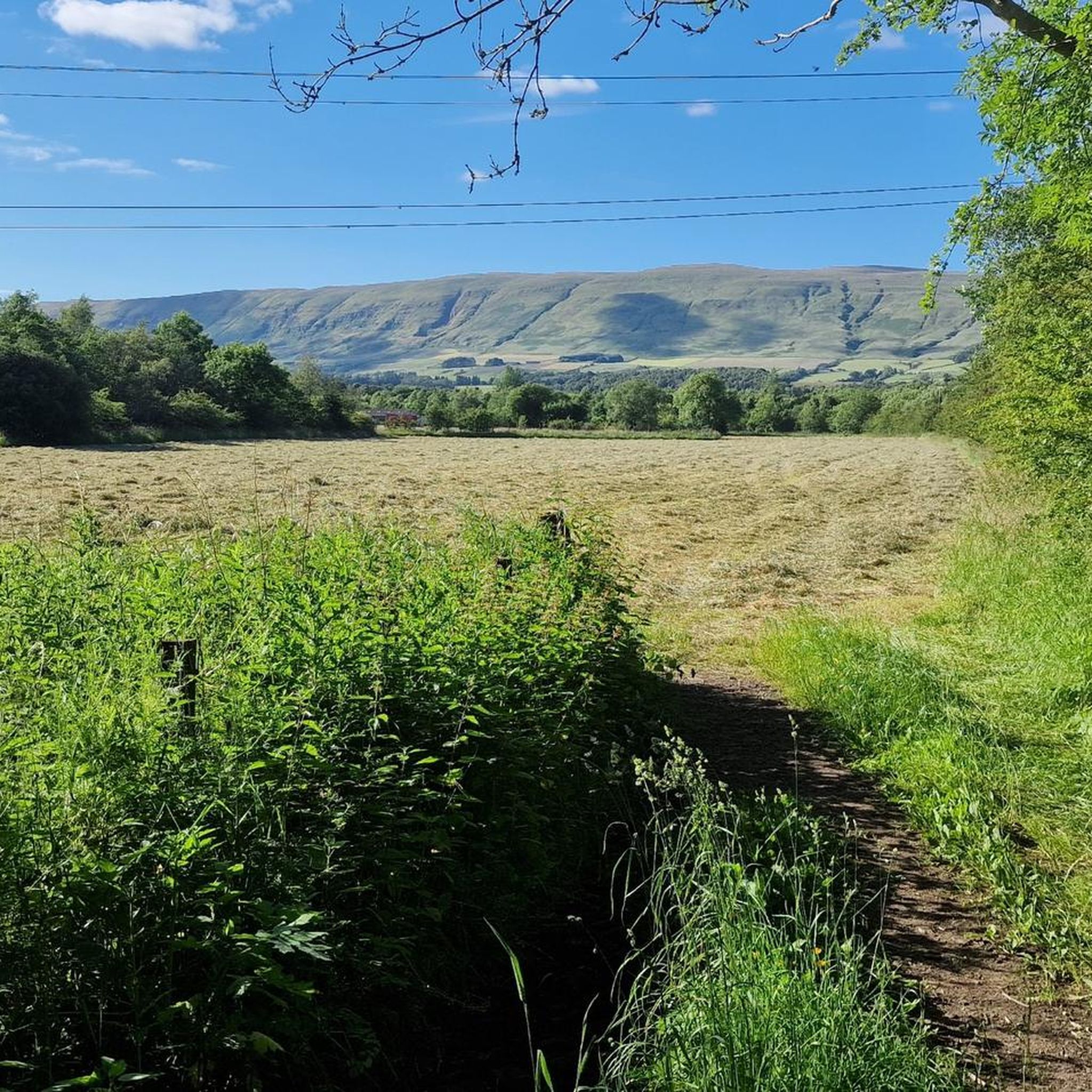
The Cort-ma-Law Summit is located in the Campsie Fells north of Glasgow. The ascent leads through open, partly boggy moorland and rewards with a wide panoramic view over the rolling hills and valleys of the surrounding area. In clear weather, the view extends far beyond the Central Lowlands and up to the distinctive mountains of the Highlands.
0
0
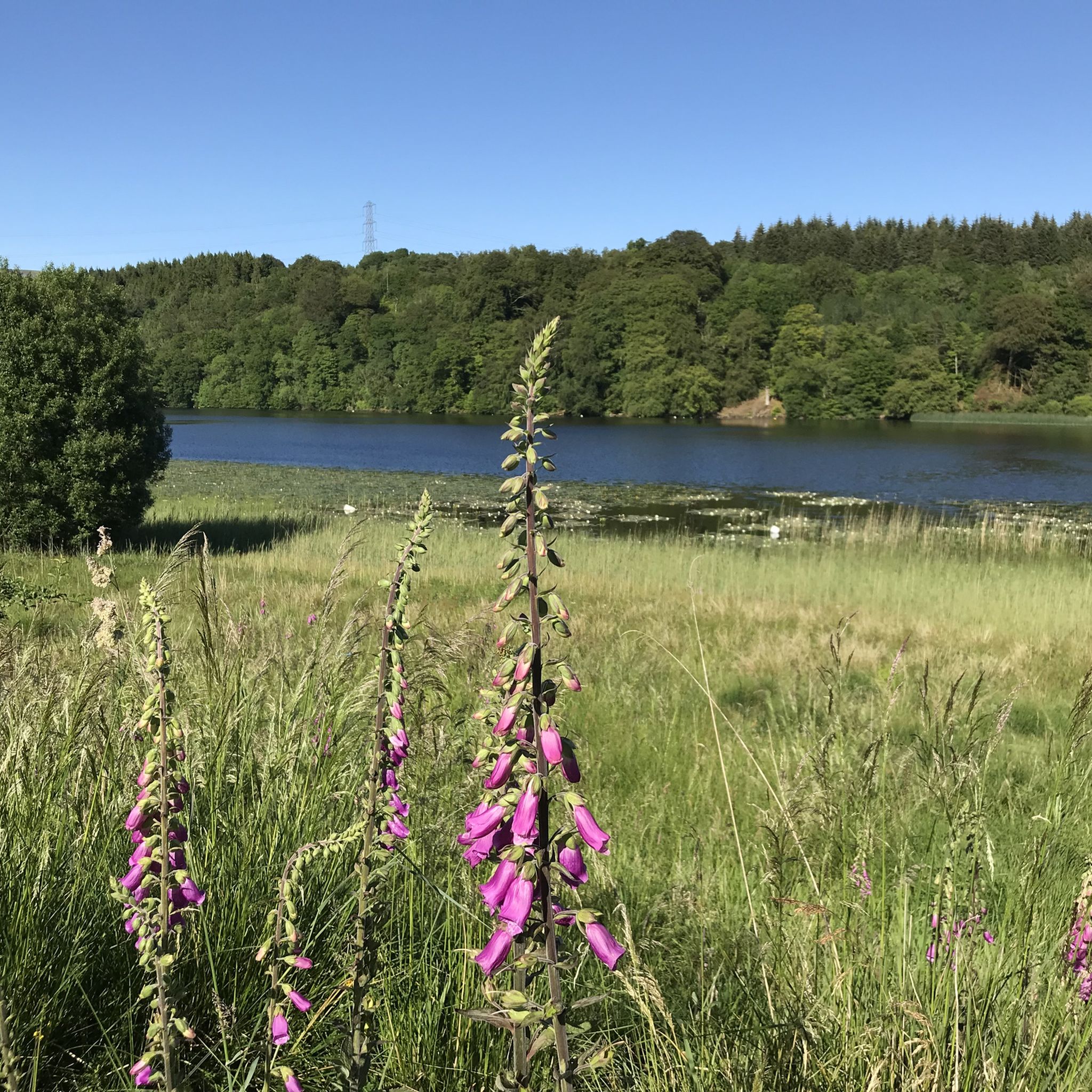
Craigallian Loch lies idyllically between green hills at the start of the West Highland Way. The small lake is surrounded by moorland and pasture landscape and already offers a taste of the Scottish scenery.
5
0

Very nice path, with alternating sections and beautiful botany.
0
0
Above all, the path through Mugdock-Forest is worth it.
2
0

The location of the 'location' pin on the Bing map is incorrect
0
0

Vintage Inn country pub with large beer garden next to canal. Very dog-friendly
0
0

The ruined remains of Lennox Castle. Originally built in ~1840 as a private property it was sold to The Glasgow Corporation (predecessor to the City Council) in 1927 and turned into a hospital for those with learning difficulties. In the 1940's-60's it also operated as a maternity home, and was the birth place of singer Lulu. It closed in 2002 and unfortunately was subject to a fire in 2008 which left it in its current state.
1
0
Cadder Parish Church of Scotland. There's a carpark next to the canal so you can start/finish the walk there, or further along the canal
0
0
Frequently Asked Questions
Are there any family-friendly walks in East Dunbartonshire?
Yes, the region has many options suitable for families. A great choice is the Lennox Castle Ruins – Confluence of Two Rivers loop from Lennoxtown. It's an easy walk that offers a bit of history and nature without being too strenuous for younger children.
Can I take my dog on the trails?
Most trails in East Dunbartonshire are suitable for dogs, provided they are kept under control, especially near livestock in the Campsie Fells. For a great off-leash area, many locals enjoy Lenzie Moss. For a structured walk, the Craigallian Loch – Craigallian Fire Memorial loop from Milngavie offers a varied and engaging route for you and your dog.
Are there any circular walks available?
Absolutely. Many routes are designed as loops so you can start and end in the same place. For a challenging circular hike with rewarding views, consider the Cort-ma-Law Summit – Crichton's Cairn loop from Clachan of Campsie, which takes you up into the Campsie Fells.
Where can I find walks with waterfalls?
The Campsie Fells are your best bet for waterfalls. The area around Campsie Glen is particularly well-regarded for its series of cascades. The Glen Burn Waterfall loop from Clachan of Campsie is a short, accessible hike that leads you directly to some of these beautiful natural features.
What are some good hikes for seeing historical sites?
East Dunbartonshire is rich in history, particularly Roman heritage along the Antonine Wall. The Bar Hill Roman Fort – Castle Hill Iron Age Fort loop from Twechar is an excellent choice, allowing you to explore the remains of a Roman fort and an even older Iron Age settlement in one walk.
I'm looking for a challenging hike. What do you recommend?
For a strenuous hike with significant elevation gain, head to the Campsie Fells. The View of Glasgow from Crow Road – Crichton's Cairn loop from Clachan of Campsie is a demanding route that rewards your effort with panoramic views across the region and towards Glasgow.
Is East Dunbartonshire the start of the West Highland Way?
Yes, the famous 96-mile West Highland Way begins in Milngavie. While the full trail is a multi-day trek, you can hike the first section as a day walk. The initial 12-mile stretch from Milngavie to Drymen is a popular and manageable introduction to this iconic long-distance path.
How many hiking trails are there in East Dunbartonshire?
There are over 170 hiking routes to explore in East Dunbartonshire. They range from easy, flat walks along canals and lochs to difficult ascents in the Campsie Fells, offering something for every fitness level.
What do other hikers think of the trails in this region?
The trails in East Dunbartonshire are highly rated by the komoot community, with an average score of 4.4 stars. Hikers often praise the variety of landscapes, from the rugged hills of the Campsies to the peaceful paths within Mugdock Country Park, and the well-preserved historical sites along the routes.
Are there any easy walks with good views?
Definitely. You don't always need a big climb for a great view. The Crichton's Cairn loop from Clachan of Campsie is a relatively short and easy route that still offers fantastic views from the slopes of the Campsie Fells without requiring a full mountain ascent.
How can I explore Mugdock Country Park?
Mugdock Country Park has an extensive network of paths. A great way to see its main features is the Path to Mugdock Castle – Mugdock Loch loop from Milngavie. This moderate trail guides you past the historic castle ruins and around the scenic loch.
Can I get to the trailheads using public transport?
Yes, many trailheads are accessible via public transport. Milngavie, the starting point for the West Highland Way and many Mugdock Park walks, has a train station with frequent services from Glasgow. Towns like Lennoxtown and Twechar, which are gateways to the Campsie Fells and Antonine Wall, are served by bus routes.
Most popular routes in East Dunbartonshire
Most popular attractions in East Dunbartonshire

Get inspired with the komoot mobile app


Didn’t find what you were looking for?
Check out more Hikes throughout East Dunbartonshire below and find the perfect route in your destination.
Explore more
Browse the best Hikes in other regions.
