Easy hikes and walks in Landkreis Rhön-Grabfeld
4.5
(21375)
77,195
hikers
2,688
hikes
Easy hiking trails in Landkreis Rhön-Grabfeld traverse a diverse landscape largely within the UNESCO Rhön Biosphere Reserve. The region features varied topography, including volcanic mountains, sweeping valleys, and unforested heights. Hikers can explore dark moors, basalt forests, and lush mountain meadows. This area is characterized by its significant natural features and extensive network of well-maintained trails.
Best easy hiking trails in Landkreis Rhön-Grabfeld
- The most popular easy hiking route is Schwarzes Moor Nature Trail – nature and knowledge in the…
Last updated: October 10, 2026
4.8
(1033)
4,200
hikers
Easy hike. Great for any fitness level. Easily-accessible paths. Suitable for all skill levels.
4.7
(219)
767
hikers
5.81km
01:29
20m
20m
Easy hike. Great for any fitness level. Easily-accessible paths. Suitable for all skill levels.

4.8
(122)
374
hikers
3.83km
01:11
150m
150m
Easy hike. Great for any fitness level. Easily-accessible paths. Suitable for all skill levels.
4.4
(36)
104
hikers
Easy hike. Great for any fitness level. Easily-accessible paths. Suitable for all skill levels.
4.3
(4)
30
hikers
2.55km
00:42
40m
40m
Easy hike. Great for any fitness level. Easily-accessible paths. Suitable for all skill levels.
4.7
(3)
16
hikers
3.57km
01:00
70m
70m
Easy hike. Great for any fitness level. Easily-accessible paths. Suitable for all skill levels.
4.7
(293)
941
hikers
Easy hike. Great for any fitness level. Easily-accessible paths. Suitable for all skill levels.
4.7
(166)
496
hikers
Easy hike. Great for any fitness level. Easily-accessible paths. Suitable for all skill levels.
4.7
(166)
495
hikers
Easy hike. Great for any fitness level. Easily-accessible paths. Suitable for all skill levels.
4.6
(167)
638
hikers
Easy hike. Great for any fitness level. Easily-accessible paths. Suitable for all skill levels.
Get access to more routes and recommendations from other explorers.
Already have an account?
Our route recommendations are based on thousands of hikes, rides, and runs completed by other people on komoot.
Start today with a free account
Your next adventure awaits.
Popular around Landkreis Rhön-Grabfeld
Easy hikes in Bayerische Hohe Rhön
Easy hikes around Oberelsbach

Easy hikes around Fladungen

Easy hikes around Bischofsheim an der Rhön
Easy hikes around Sandberg
Easy hikes around Gangolfsberg-Heppberg
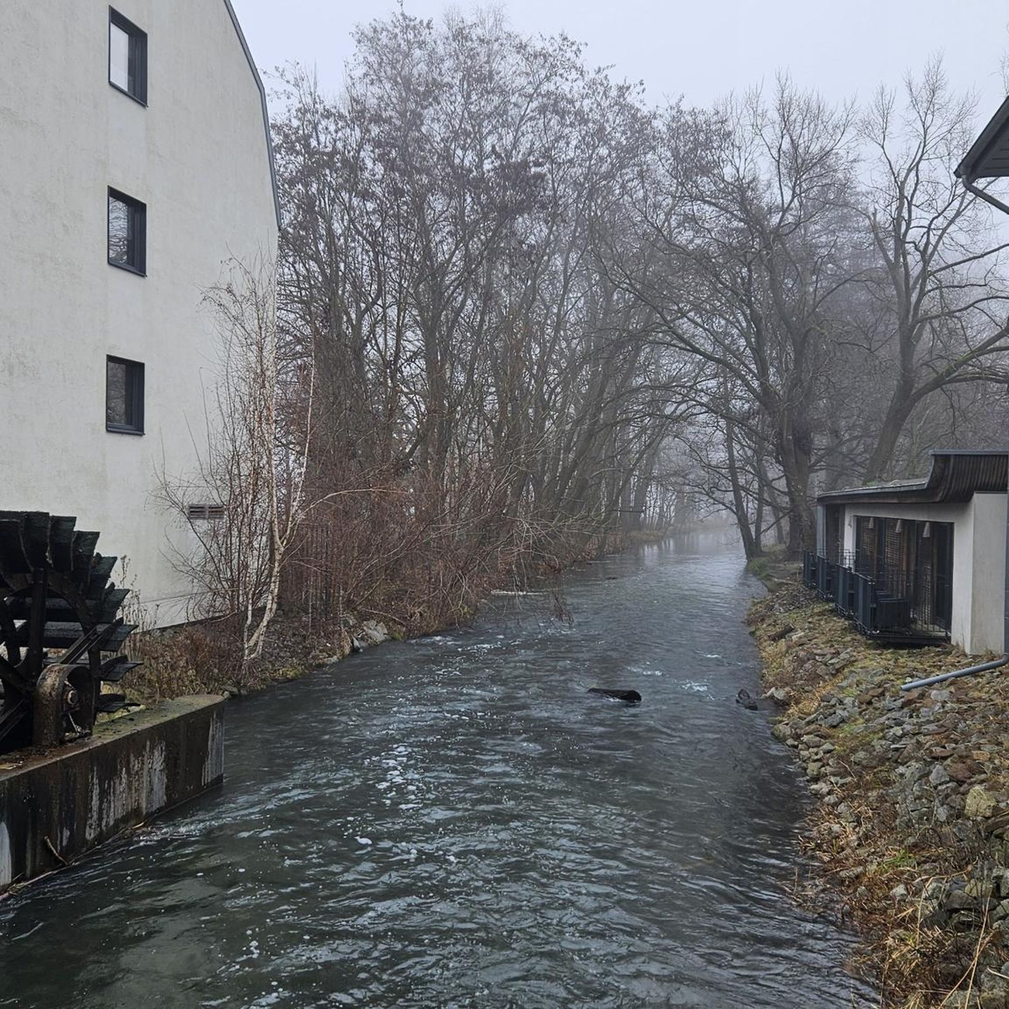
Easy hikes in Trockenverbundgebiet Rhön - Grabfeld
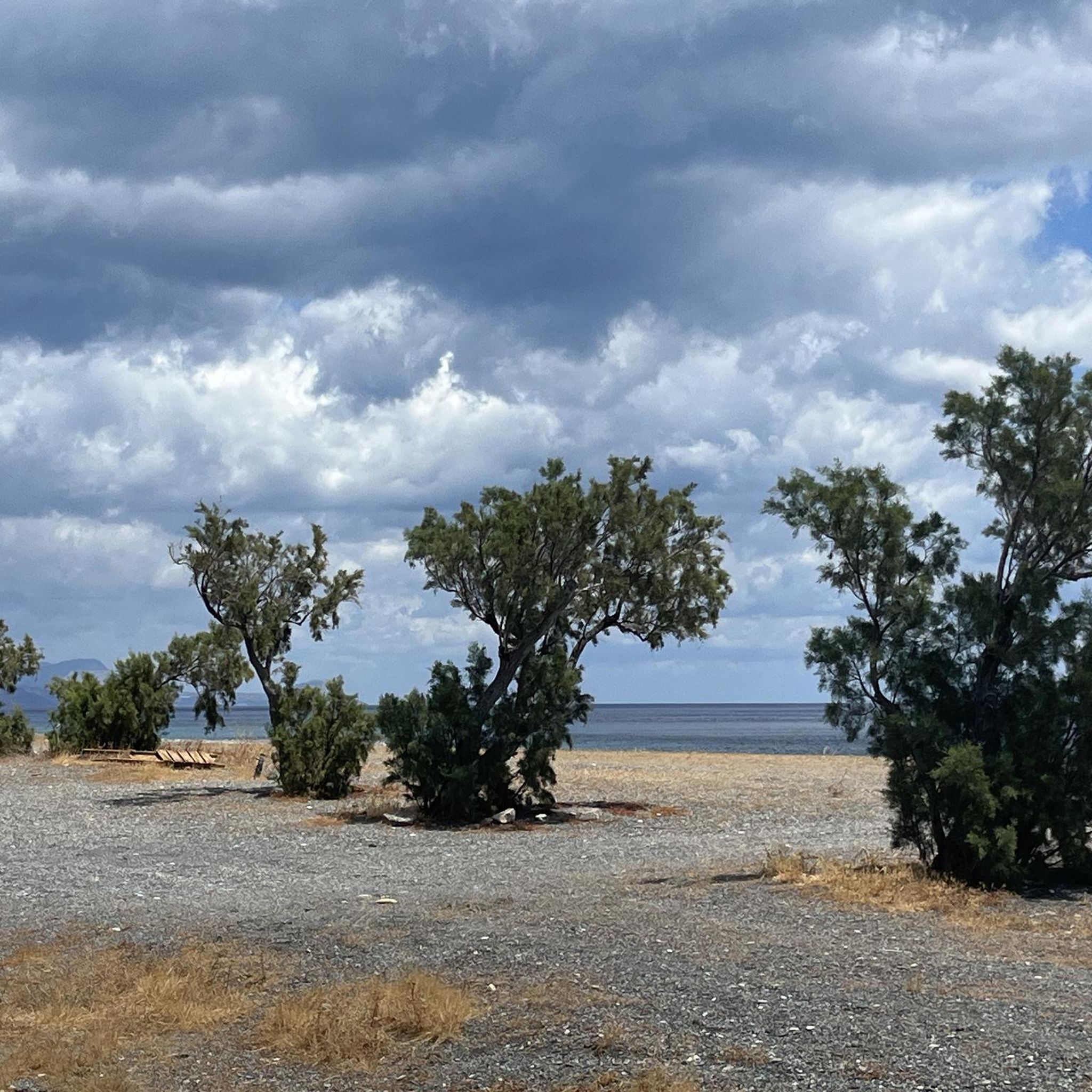
Easy hikes around Bad Neustadt an der Saale
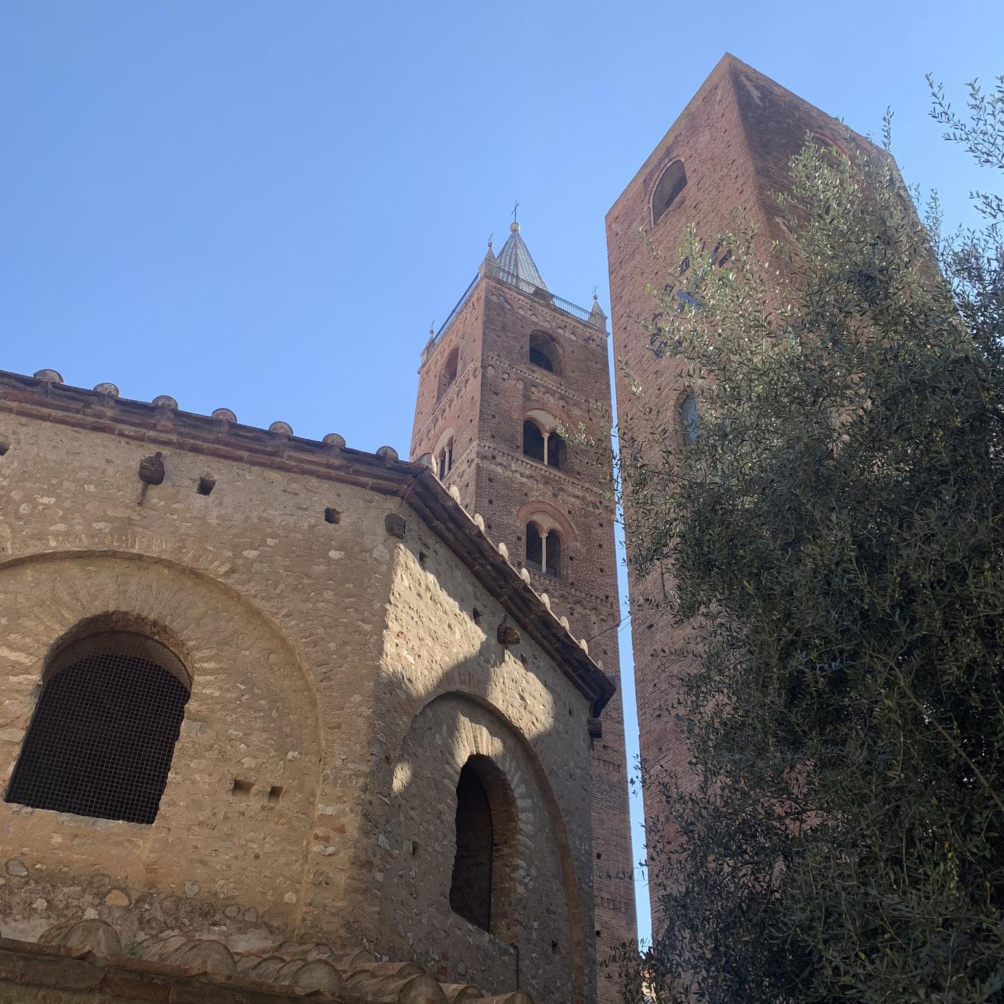
Easy hikes around Bundorfer Forest
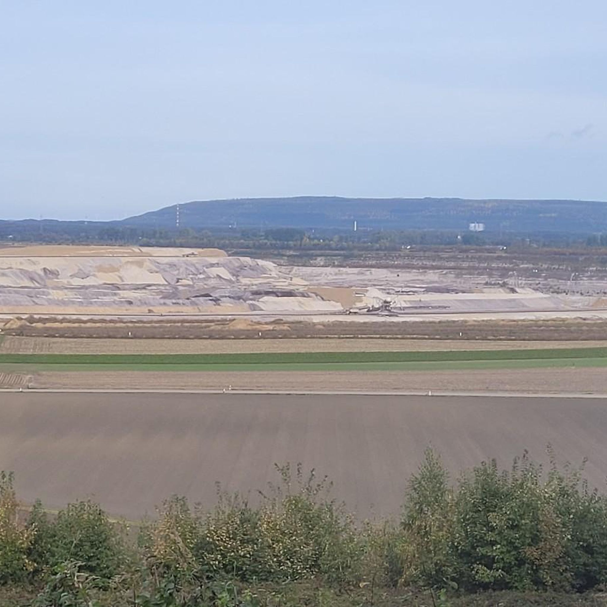
Easy hikes around Ostheim vor der Rhön
Other adventures in Landkreis Rhön-Grabfeld


Tips from the Community

did nature itself shape and set this up?
0
0

We could see a lot of cotton grass in the moor and several animals besides.
0
0

Kingdom of Bavaria
0
0

On the nature trail through the moor – a two-kilometer-long boardwalk – you can discover rare animal and plant species. The Black Moor is the best-preserved and still-growing raised bog in Germany's low mountain ranges. The moor is located in the Rhön Biosphere Reserve, in the border triangle of Bavaria, Hesse, and Thuringia – a unique cultural landscape in the heart of Germany. The area offers a wealth of exciting outdoor excursions. You can find more information here: https://nationale-naturlandschaften.de/gebiete/biosphaerenreservat-rhoen.
2
0

The path takes you through the Mühlwiesen nature reserve in the Elsbachtal valley with its beautiful meadows. Enjoy the view over the lush green, and maybe a few goats will greet you with a cheerful bleat.
0
0
("Green Classroom") 72 beds - school camp & seminar house in the middle of the UNSECO Rhön Biosphere Reserve! The state-of-the-art conference center for education for sustainable development in the heart of the market town of Oberelsbach is a place of learning and a starting point for school trips, excursions and seminars.
0
0
The Roman Catholic Church of St. Kilian is the baroque village church of Oberelsbach. After a previous church building from 1601 was destroyed by lightning in 1760, the St. Kilian Church was built between 1765 and 1784 under Johann Michael and Georg Schmitt from Königshofen. The high altar made by Christian Lux from Bad Neustadt an der Saale was taken over from the previous church. The two side altars made by sculptor Kaspar Hippeli (Nordheim) and carpenter Hans Valentin Katzenberger (Oberelsbach) were made in 1775. The church's baptismal font with an octagonal basin was purchased in 1672. The gallery parapet was made around 1770, the classicist pulpit with a bulbous body around 1780. The altarpiece of the high altar shows the Franconian saints Kilian, Kolonat and Totnan. The side altars are decorated with figures of Saint Joachim, Anne, George and Florian. (Wikipedia)
0
0

Frequently Asked Questions
How many easy hiking trails are available in Landkreis Rhön-Grabfeld?
Landkreis Rhön-Grabfeld offers a vast network of trails, with over 1,400 easy hiking routes available. In total, the region boasts more than 2,700 trails for various skill levels, making it a diverse destination for outdoor enthusiasts.
What is the best time of year for easy hikes in Landkreis Rhön-Grabfeld?
The region is beautiful year-round, but for easy hiking, spring through autumn generally offers the most pleasant conditions. During these seasons, you can fully enjoy the lush mountain meadows, flower-rich pastures, and panoramic views. While winter offers snow sports opportunities, some trails might be more challenging due to snow and ice.
Are there easy circular hiking routes in Landkreis Rhön-Grabfeld?
Yes, Landkreis Rhön-Grabfeld is known for its well-signposted circular trails. Many of the region's certified 'Extratours' are circular and range from 6.5 km upwards, offering excellent options for half-day or full-day tours. An example of an easy circular route is the Circular trail Schwarzes Moor and Grabenberg border tower.
Can I find easy hikes that feature unique natural landscapes like moors or volcanic areas?
Absolutely. The region, largely within the UNESCO Rhön Biosphere Reserve, is famous for its diverse natural features. You can explore prominent high moors with boardwalks, such as on the Schwarzes Moor Nature Trail, or discover trails through basalt forests and past volcanic peaks that offer sweeping views.
Are there any easy trails with scenic viewpoints in the region?
Yes, many easy trails in Landkreis Rhön-Grabfeld lead to or offer access to stunning viewpoints. The region's volcanic mountains and unforested heights provide magnificent panoramic views. Notable peaks like Kreuzberg and Rother Kuppe offer excellent vistas, often with observation towers or monasteries providing additional points of interest.
Are there any easy hiking trails that pass by historical sites or cultural landmarks?
Yes, the region offers trails that combine nature with history. For instance, the Circular trail Schwarzes Moor and Grabenberg border tower provides insights into the former German-German border region. The Green Belt, along the former border, is now a valuable habitat and offers historical context. Additionally, the Kloster Kreuzberg, a significant pilgrimage site, is accessible and offers great views.
Are there any easy hikes that lead to waterfalls?
Yes, you can find easy hikes that feature waterfalls. For example, the Eisgraben Gorge – Eisgraben Waterfall loop from Hillenberg is an easy route that takes you to the Eisgraben Waterfall, offering a refreshing natural highlight.
Are there family-friendly easy hiking trails in Landkreis Rhön-Grabfeld?
Landkreis Rhön-Grabfeld is an excellent destination for families. Many easy trails are specifically designed with children in mind, offering engaging experiences. A great option is the Family hiking trail butterfly nature trail – in the Rhön with the kids, which is perfect for an outing with children.
Are dogs allowed on the easy hiking trails?
Generally, dogs are welcome on most hiking trails in Landkreis Rhön-Grabfeld, provided they are kept on a leash and owners clean up after them. It's always a good idea to check specific trail regulations, especially in nature reserves, but the region is largely dog-friendly.
What do other hikers enjoy the most about hiking in Landkreis Rhön-Grabfeld?
The area is highly rated by the komoot community, with an average score of 4.6 stars from over 17,000 reviews. Hikers often praise the region's diverse and picturesque landscapes, the well-maintained and clearly signposted trails, and the unique natural features like the moors and panoramic views from volcanic peaks. The tranquility and natural beauty are frequently highlighted.
Are there places to eat or rest along the easy hiking trails?
Yes, the region has various huts and restaurants, especially near popular hiking areas. For instance, you can find places like the Fisherman's Hut at Rothsee or the Jagdschloss Holzberghof, which offer opportunities for a break and refreshments during your hike.
What are some less crowded easy hiking options in Landkreis Rhön-Grabfeld?
While popular spots like Schwarzes Moor can attract visitors, the extensive network of trails means you can often find quieter paths. Exploring some of the lesser-known 'Rhön-Rundweg' trails, such as Rhön-Rundweg 11 Oberelsbach or Rhön Rundweg 7 Oberelsbach, can offer a more serene hiking experience, especially during off-peak hours or weekdays.
Are there easy hikes where I can experience the Rhön Star Park?
While the Rhön Star Park is primarily for stargazing at night, many easy trails traverse the same natural landscapes that contribute to its dark skies. You can enjoy an easy daytime hike and then, if conditions allow, return to a designated viewing spot within the Rhön Star Park area for an exceptional nocturnal experience.
Most popular routes in Landkreis Rhön-Grabfeld
Most popular attractions in Landkreis Rhön-Grabfeld

Get inspired with the komoot mobile app


Didn’t find what you were looking for?
Check out more Hikes throughout Landkreis Rhön-Grabfeld below and find the perfect route in your destination.
Explore more
Browse the best Hikes in other regions.
