Easy hikes and walks around Gerstungen
4.6
(1681)
5,260
hikers
199
hikes
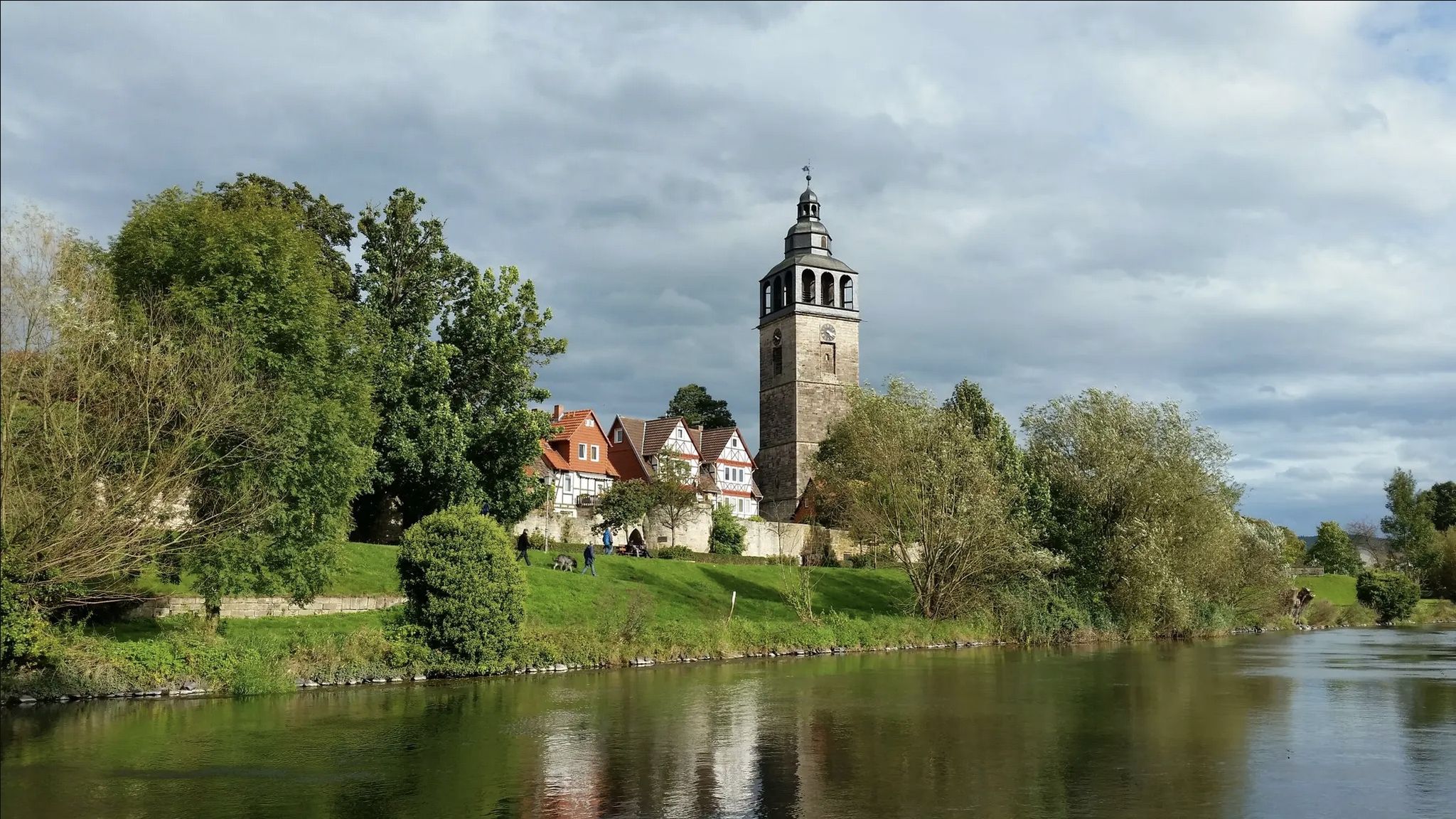
Easy hiking trails around Gerstungen are found in a region characterized by rolling hills and the scenic Werra River valley, situated on the southwestern edge of the Thuringian Forest. This area, part of the Wartburg Hainich World Heritage Region, offers diverse landscapes for outdoor exploration. The terrain features lush woodlands and varied elevations, providing ideal conditions for easy hiking. With more than 90 easy hiking routes available, Gerstungen caters to various preferences for gentle outdoor activity.
Best easy hiking trails…
Last updated: June 30, 2026
4.8
(57)
98
hikers
7.07km
01:57
120m
120m
Easy hike. Great for any fitness level. Easily-accessible paths. Suitable for all skill levels.
4.7
(7)
28
hikers
Easy hike. Great for any fitness level. Easily-accessible paths. Suitable for all skill levels.

Sign up for free
4.8
(15)
21
hikers
5.01km
01:19
40m
40m
Easy hike. Great for any fitness level. Easily-accessible paths. Suitable for all skill levels.
4.2
(30)
25
hikers
Easy hike. Great for any fitness level. Easily-accessible paths. Suitable for all skill levels.
4.6
(15)
22
hikers
Easy hike. Great for any fitness level. Easily-accessible paths. Suitable for all skill levels.
Get access to more routes and recommendations from other explorers.
Sign up for free
Already have an account?
Our route recommendations are based on thousands of hikes, rides, and runs completed by other people on komoot.
Start today with a free account
Your next adventure awaits.
Login or Signup
Popular around Gerstungen



Tips from the Community

I came by here by bike and refilled my bottles. The water is really delicious and the surroundings invite you to take a break.
0
0

This simple memorial cross commemorates the division of Germany and the fates of people along the former border. A quiet, contemplative place that invites reflection and impressively brings Germany's recent history to mind.
8
0
Free and well-located visitor parking at the foot of the Brandenburg castle ruins. Ideal starting point for the hike to the ruins and into the surrounding landscape – several beautiful trails with panoramic and nature experiences start from here.
7
0
From the summit of the Stechberg, an impressive panoramic view opens up of the Brandenburg castle ruins, which sit prominently on their rocky ridge. Especially with clear visibility, the ruin appears majestically embedded in the landscape.
5
0

At the Westburg…
2
0
I overlooked it, or it's no longer there.
0
0
Huge parking lot, lots of space
2
0
In the center of Lauchröden
0
0
Frequently Asked Questions
How many easy hiking trails are there in Gerstungen?
Gerstungen offers a wide selection of easy hiking trails, with over 90 routes specifically categorized as easy. This provides ample choice for gentle outdoor activity in the region.
What do other hikers enjoy the most about easy trails in Gerstungen?
The easy trails around Gerstungen are highly rated by the komoot community, with an average score of 4.6 stars from over 1,300 reviews. Hikers often praise the region's diverse landscapes, including rolling hills and the scenic Werra River valley, as well as the well-maintained paths that make for pleasant, accessible walks.
Are there easy circular routes in Gerstungen?
Yes, many of the easy hiking trails in Gerstungen are circular, allowing you to start and end at the same point. For example, the Viehgraben Oak – Sallmannshäuser Rennsteig loop from Lutzberg is a popular 3.1-mile (5.0 km) circular trail through woodlands and open countryside.
Are there any easy trails with waterfalls or gorges near Gerstungen?
While Gerstungen itself is known for rolling hills, the broader region offers dramatic natural features. The Ludwigsklamm and Ludwig Grotto Waterfall is an idyllic gorge with moss-covered rocks and a small waterfall, providing a unique natural spectacle. You can also find the Fairy grotto, another highlight featuring a waterfall.
Are the easy hiking trails in Gerstungen family-friendly?
Absolutely. The easy trails in Gerstungen are generally well-suited for families. The landscape of rolling hills and varied terrain offers many accessible options. Routes like the Kohlbach Spring – Kohlbachwald Pond loop from Gerstungen, with its natural water features, are particularly enjoyable for all ages.
Can I bring my dog on easy hikes in Gerstungen?
Many easy hiking trails in Gerstungen are dog-friendly, offering pleasant walks through woodlands and open countryside. It's always a good idea to keep your dog on a leash, especially in nature reserves or areas with wildlife, and to check local regulations for specific routes.
Are there any historical sites or landmarks to see on easy hikes?
Yes, the region around Gerstungen is rich in history. You can explore trails that pass by historical landmarks, such as the St. Martin's Church (Lauchröden) – Brandenburg Castle Ruins loop from Lauchröden, which leads past the impressive Brandenburg Castle Ruins. The broader Wartburg Hainich World Heritage Region also connects cultural sites with natural wonders.
How long do easy hikes in Gerstungen typically take?
The duration of easy hikes in Gerstungen varies, but many can be completed within a few hours. For instance, the Kohlbach Spring – Kohlbachwald Pond loop from Gerstungen, which is 4.4 miles (7.1 km), typically takes about 1 hour 57 minutes. Shorter options like the Old Railway Bridge – Katharinenkirche Gerstungen loop from Gerstungen (3.9 miles / 3.6 km) can be completed in just over an hour.
Are there easy trails where I can see wildlife?
The diverse landscapes around Gerstungen, including the Thuringian Forest and the Werra River valley, provide habitats for various wildlife. The region is part of the Wartburg Hainich World Heritage Region, which includes the Hainich National Park, known for its ancient woodlands. Trails like "The freedom of the storks" specifically offer extensive birdwatching opportunities in a bird sanctuary.
Are there easy hiking trails with picnic spots or cafes?
Yes, you can find easy trails that offer convenient spots for a break. Many routes pass through scenic areas ideal for picnics. For example, the Oberer Knöpfelsteich Picnic Area is located near the Knöpfelsteiche lakes, providing a lovely spot to rest and enjoy the surroundings.
What is the best time of year for easy hikes in Gerstungen?
Gerstungen offers enjoyable easy hiking experiences throughout much of the year. Spring brings blooming nature, summer provides lush green landscapes, and autumn showcases vibrant foliage. The rolling hills and varied terrain are generally accessible, making it a pleasant destination for easy walks in most seasons.
Are there easy hiking trails accessible by public transport in Gerstungen?
Gerstungen has local public transport options that can help you reach various starting points for easy hikes. While specific route accessibility by public transport can vary, many trails are designed to be easily reachable from local villages and towns within the region.
Most popular routes around Gerstungen
Most popular attractions around Gerstungen

Get inspired with the komoot mobile app


Explore more
Browse the best Hikes in other regions.
