The best walks and hikes around Gerstungen
4.6
(1727)
5,300
hikers
195
hikes
Hiking around Gerstungen offers diverse landscapes characterized by rolling hills and proximity to the Thuringian Forest. The region features varied terrain suitable for outdoor activities, including extensive natural areas and scenic routes along the Werra River. These features provide a range of hiking experiences for different fitness levels.
Best hiking trails around Gerstungen
- The most popular hiking route is Henningslinde – Brandenburg Castle Ruins loop from Lauchröden, a 5.9 miles (9.5 km) trail that takes 2 hours 46 minutes…
Last updated: October 14, 2026
4.3
(16)
33
hikers
9.94km
02:53
260m
260m
Moderate hike. Good fitness required. Easily-accessible paths. Suitable for all skill levels.
4.7
(28)
56
hikers
12.1km
03:19
200m
200m
Moderate hike. Good fitness required. Easily-accessible paths. Suitable for all skill levels.

4.6
(8)
30
hikers
Easy hike. Great for any fitness level. Easily-accessible paths. Suitable for all skill levels.
4.7
(12)
26
hikers
11.6km
03:17
250m
250m
Moderate hike. Good fitness required. Easily-accessible paths. Suitable for all skill levels.
4.6
(12)
23
hikers
19.2km
05:30
410m
410m
Hard hike. Very good fitness required. Mostly accessible paths. Sure-footedness required.
Get access to more routes and recommendations from other explorers.
Already have an account?
Our route recommendations are based on thousands of hikes, rides, and runs completed by other people on komoot.
Start today with a free account
Your next adventure awaits.


Tips from the Community

The spring is located right next to the pond and still provides water even in summer.
0
0
Beautiful pond at the edge of the path. Especially on hot days.
0
0

I came by here by bike and refilled my bottles. The water is really delicious and the surroundings invite you to take a break.
0
0

This simple memorial cross commemorates the division of Germany and the fates of people along the former border. A quiet, contemplative place that invites reflection and impressively brings Germany's recent history to mind.
8
0
Free and well-located visitor parking at the foot of the Brandenburg castle ruins. Ideal starting point for the hike to the ruins and into the surrounding landscape – several beautiful trails with panoramic and nature experiences start from here.
7
0
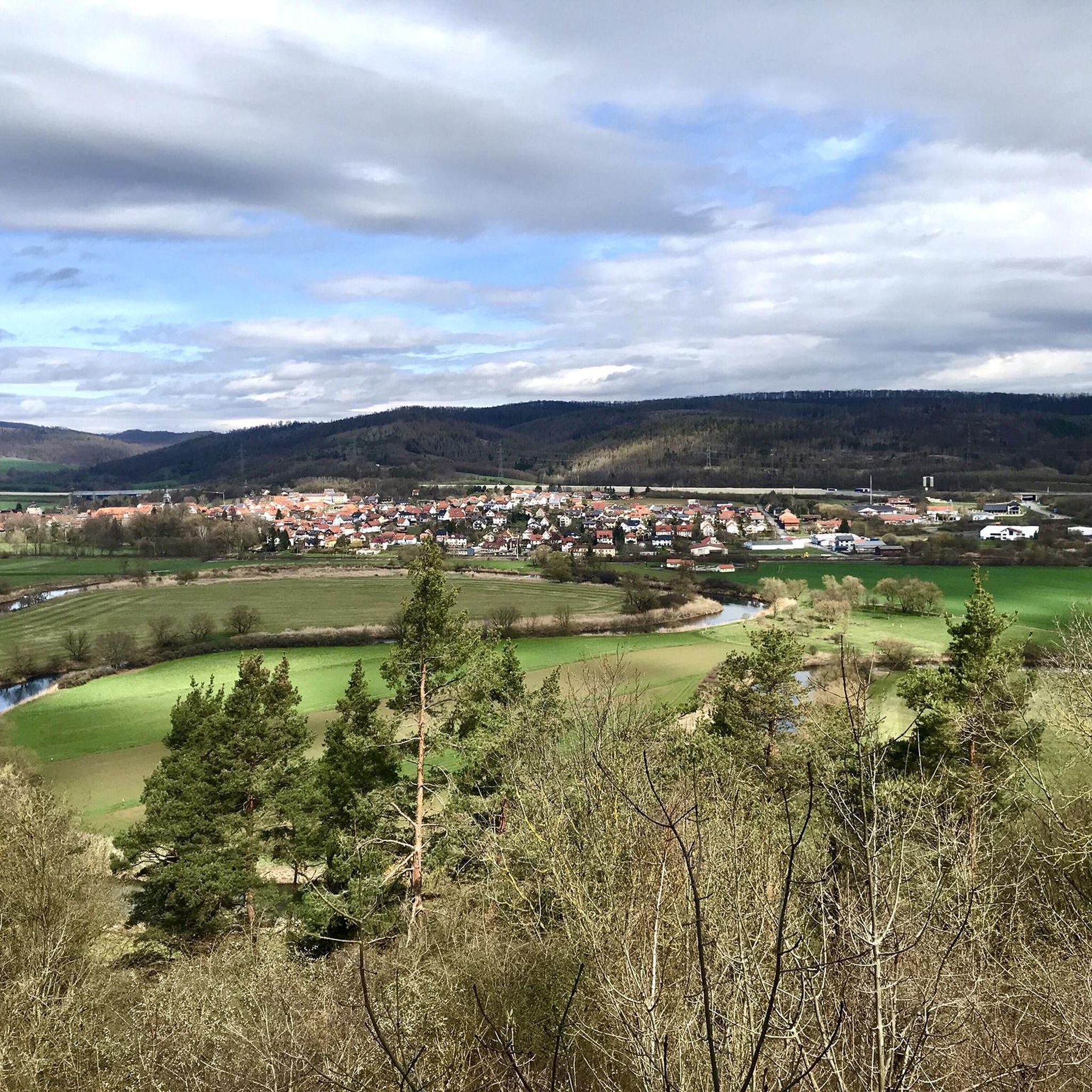
A beautiful resting place with an unobstructed view of the Werratal valley. Ideal for a break to catch your breath, enjoy the peace and let your gaze wander over the river, meadows, and hills – especially beautiful with clear visibility ☀️🍃.
6
0
The Hennings Linde is a striking, old tree and a quiet place for a brief pause.
3
0
From the summit of the Stechberg, an impressive panoramic view opens up of the Brandenburg castle ruins, which sit prominently on their rocky ridge. Especially with clear visibility, the ruin appears majestically embedded in the landscape.
5
0
Frequently Asked Questions
How many hiking trails are available around Gerstungen?
There are over 200 hiking routes around Gerstungen, offering a wide variety of experiences. These include 93 easy, 101 moderate, and 8 difficult trails, catering to all fitness levels.
What kind of terrain can I expect on hikes near Gerstungen?
The region around Gerstungen is characterized by rolling hills and extensive forest areas, particularly due to its proximity to the Thuringian Forest. You'll find varied terrain, from gentle paths along the Werra River to more challenging routes with notable elevation changes.
Are there any circular walks recommended around Gerstungen?
Yes, many routes are circular. A popular moderate option is the Henningslinde – Brandenburg Castle Ruins loop from Lauchröden, which is 9.5 km long. For a slightly longer moderate hike, consider the Kohlbach Spring – Kohlbachwald Pond loop from Gerstungen, covering 12.1 km.
What natural features or landmarks can I see while hiking in Gerstungen?
Hikers can explore diverse natural features and historical landmarks. Notable natural attractions include the Kohlbach Spring and Kohlbachwald Pond. For historical interest, the Brandenburg Castle ruins are a prominent feature on several routes, such as the St. Martin's Church (Lauchröden) – Brandenburg Castle Ruins loop from Lauchröden. You can also find viewpoints like the Great Drachenstein Oak and Viewpoint.
Are there any waterfalls or gorges to explore near Gerstungen?
While Gerstungen itself is known for rolling hills, the broader region offers dramatic natural features. The famous Drachenschlucht (Dragon Gorge) near Eisenach is a short distance away, known for its narrow passages and mystical atmosphere. Closer by, you can find the idyllic Ludwigsklamm and Ludwig Grotto Waterfall, offering a serene hiking experience.
What do other hikers enjoy most about hiking in Gerstungen?
The hiking routes in Gerstungen are highly rated by the komoot community, with an average score of 4.6 stars from over 1,300 reviews. Hikers often praise the diverse landscapes, the well-maintained paths, and the blend of natural beauty with historical sites like the Brandenburg Castle.
Are there any easy hiking trails suitable for beginners or families?
Yes, there are 93 easy trails around Gerstungen. An excellent option for beginners or families is the St. Martin's Church (Lauchröden) – Brandenburg Castle Ruins loop from Lauchröden, which is 6.5 km long and typically takes about 1 hour and 50 minutes to complete.
Can I find routes that include a picnic spot?
Yes, some routes are ideal for picnics. The Picnic Area at Kohlbach Pond – Kohlbachwald Pond loop from Sallmannshausen is a moderate 11.5 km trail that specifically highlights a picnic area, making it a great choice for a leisurely day out.
What is the typical duration for hikes in the Gerstungen area?
Hike durations vary depending on the trail and your pace. Easy trails like the St. Martin's Church (Lauchröden) – Brandenburg Castle Ruins loop from Lauchröden can be completed in under 2 hours. Moderate routes, such as the Henningslinde – Brandenburg Castle Ruins loop from Lauchröden, typically take around 2 hours and 45 minutes, while longer moderate loops might take over 3 hours.
Are there any long-distance hiking trails accessible from Gerstungen?
Gerstungen's location provides access to sections of longer routes. Parts of the legendary wooden sculpture route "Pummpälzweg" and sections that intersect with the Rennsteig, a well-known long-distance hiking trail in the Thuringian Forest, can be explored from the area.
What are the elevation changes like on trails around Gerstungen?
The trails around Gerstungen feature rolling hills, so you can expect varied elevation changes. For example, the moderate Henningslinde – Brandenburg Castle Ruins loop from Lauchröden has an elevation gain of approximately 257 meters, while easier routes will have less significant climbs.
Most popular routes around Gerstungen
Most popular attractions around Gerstungen

Get inspired with the komoot mobile app


Explore more
Browse the best Hikes in other regions.
