Easy hikes and walks around Aitrach
4.5
(4494)
18,122
hikers
75
hikes
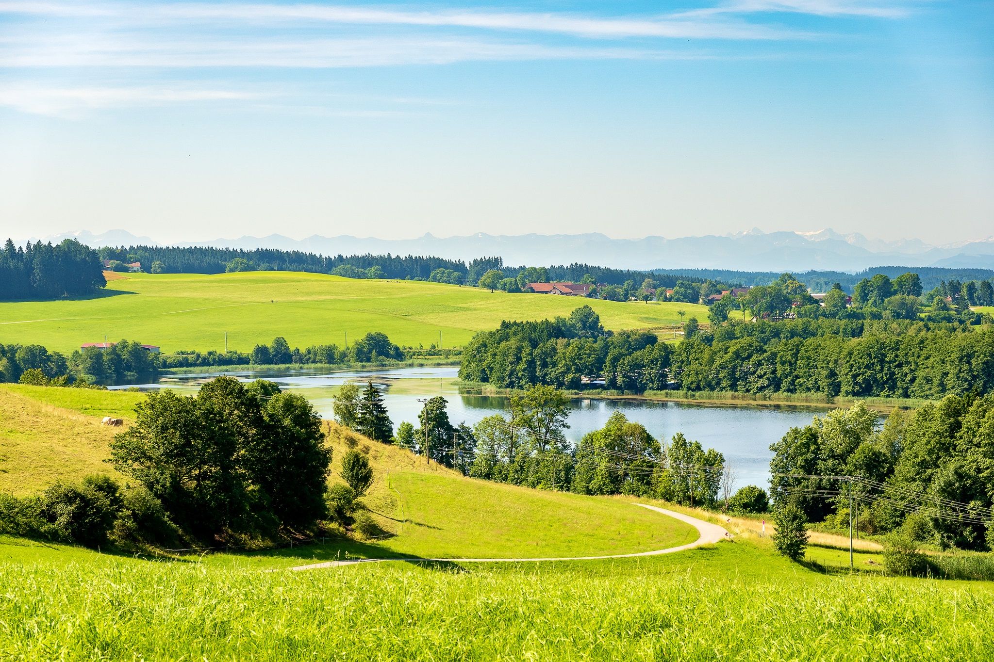
Easy hiking trails around Aitrach traverse a landscape characterized by rolling hills and verdant meadows, offering scenic views of the Allgäu region. The Iller River is a prominent natural feature, with many routes following its banks. Hikers can experience diverse flora and fauna, including waterfowl, along these well-maintained paths. The nearby Wurzacher Ried also presents opportunities to explore a unique moor and peat ecosystem.
Best easy hiking trails around Aitrach
- The most popular easy hiking route is Iller Camping Aitrach…
Last updated: October 17, 2026
4.7
(7)
26
hikers
6.48km
01:40
30m
40m
Easy hike. Great for any fitness level. Easily-accessible paths. Suitable for all skill levels.
3.7
(6)
16
hikers
5.98km
01:34
50m
50m
Easy hike. Great for any fitness level. Easily-accessible paths. Suitable for all skill levels.

4.0
(2)
11
hikers
Easy hike. Great for any fitness level. Easily-accessible paths. Suitable for all skill levels.
23
hikers
Easy hike. Great for any fitness level. Easily-accessible paths. Suitable for all skill levels.
5.0
(1)
9
hikers
Easy hike. Great for any fitness level. Easily-accessible paths. Suitable for all skill levels.
Get access to more routes and recommendations from other explorers.
Already have an account?
Our route recommendations are based on thousands of hikes, rides, and runs completed by other people on komoot.
Other adventures around Aitrach

Tips from the Community

Beautiful campsite. Very quiet at the end of September. Very clean and nice sanitary facilities and large pitches. Not the cheapest campsite.
0
0


Really nice large enclosures with several deer and wild boar; there's also a feeding station.
0
0

The trail is accessible from Ferthofen via a staircase. The ground is partially rooted. Please proceed with caution. The trail is narrow, partially obscured, and there are pedestrians on the trail.
0
0

Run-of-river power plant built in 1950 with two Kaplan turbines
0
0

The Iller Reservoir in Lautrach is home to 18 species of fish. Around 50 members of the Memmingen District Fishing Association fish here, maintaining the population through stocking, and have been doing so for decades. This means that the reservoir is also home to aquatic animals not normally found in drifting rivers, such as carp and tench.
0
0
The Lautrach Iller power plant was completed in 1948 and currently supplies an average of 26 million kilowatt hours per year. Enough to power more than 15,000 private households. The "head" is 7.9 meters, and the Iller reservoir holds up to 600,000 cubic meters.
0
0

Frequently Asked Questions
How many easy hiking trails are available around Aitrach?
Aitrach offers a wide selection of easy hiking trails, with over 40 routes specifically categorized as easy. In total, there are nearly 80 hiking routes in the area, catering to various preferences.
What kind of landscape can I expect on easy hikes in Aitrach?
Easy hikes around Aitrach primarily feature rolling hills and verdant meadows, characteristic of the picturesque Allgäu region. The Iller River is a prominent natural feature, with many routes following its banks, offering scenic views and opportunities to observe diverse flora and fauna.
Are there any circular easy hiking routes in Aitrach?
Yes, many easy trails in Aitrach are circular. For example, the Iller Camping Aitrach – Forest Shelter in Allgäu loop from Aitrach is a popular 3.3-mile (5.4 km) option, and the Fürst-Erich Chapel – Forest Shelter in Allgäu loop from Aitrach covers 4.0 miles (6.5 km) through the local landscape.
What natural features can I explore on easy hikes near Aitrach?
The region is rich in natural features. You can explore the banks of the Iller River, known for its diverse flora and fauna, including waterfowl. The nearby Wurzacher Ried, a unique moor and peat landscape, also offers distinct ecosystems to discover. You can find trails like Along the Wurzacher Ried or the Wurzacher Ried Nature Reserve Loop Trail.
Are there any family-friendly easy hikes in Aitrach?
Many easy trails in Aitrach are suitable for families due to their gentle terrain and moderate distances. Routes along the Iller River, such as the Iller Camping Aitrach loop from Aitrach, are generally well-maintained and offer pleasant walking experiences for all ages.
What are some interesting landmarks or attractions to see near Aitrach's easy hiking trails?
While hiking, you can encounter several points of interest. The Fountain at Zeil Castle is a notable man-made monument. For natural attractions, consider visiting the Riedsee in the Wurzacher Ried or the Tulip Tree Avenue.
What is the best time of year for easy hiking in Aitrach?
Aitrach's easy hiking trails are enjoyable throughout much of the year. Spring and summer offer lush green landscapes and pleasant weather, ideal for exploring the meadows and riverside paths. Autumn brings beautiful colors to the region, while some trails may also be suitable for winter walks, depending on conditions.
Are there any easy hikes that include Kneipp facilities?
Yes, you can find routes that incorporate Kneipp facilities. The Kneipp Pool Allgäu – Aitrach River loop from Aitrach is a 4.0-mile (6.4 km) trail that leads through riverside scenery and passes by a Kneipp pool, offering a chance to combine hiking with traditional water therapy.
What do other hikers say about the easy trails in Aitrach?
The easy trails in Aitrach are highly regarded by the komoot community, with an average rating of 4.8 stars from over 300 reviews. Hikers often praise the well-maintained paths, the serene riverside scenery, and the overall accessibility of the routes for a relaxing outdoor experience.
Are there any easy hikes along the Iller River?
Absolutely. The Iller River is a central feature for many easy hikes in Aitrach. A great option is the Iller Reservoir (Illerstausee) – Little Canada on the banks of the Iller loop from Aitrach, which offers a 3.0-mile (4.9 km) walk along the riverbanks, providing picturesque views of the water and surrounding nature.
What is the typical terrain like on easy hikes in Aitrach?
The terrain on easy hikes in Aitrach is generally gentle, characterized by flat paths along the Iller River, through open meadows, and across rolling hills. You can expect well-maintained trails, often unpaved but smooth, making them accessible for most hikers.
Most popular routes around Aitrach
Most popular attractions around Aitrach

Get inspired with the komoot mobile app


Explore more
Browse the best Hikes in other regions.
