Easy hikes and walks around Unterföhring
4.6
(234)
2,981
hikers
60
hikes
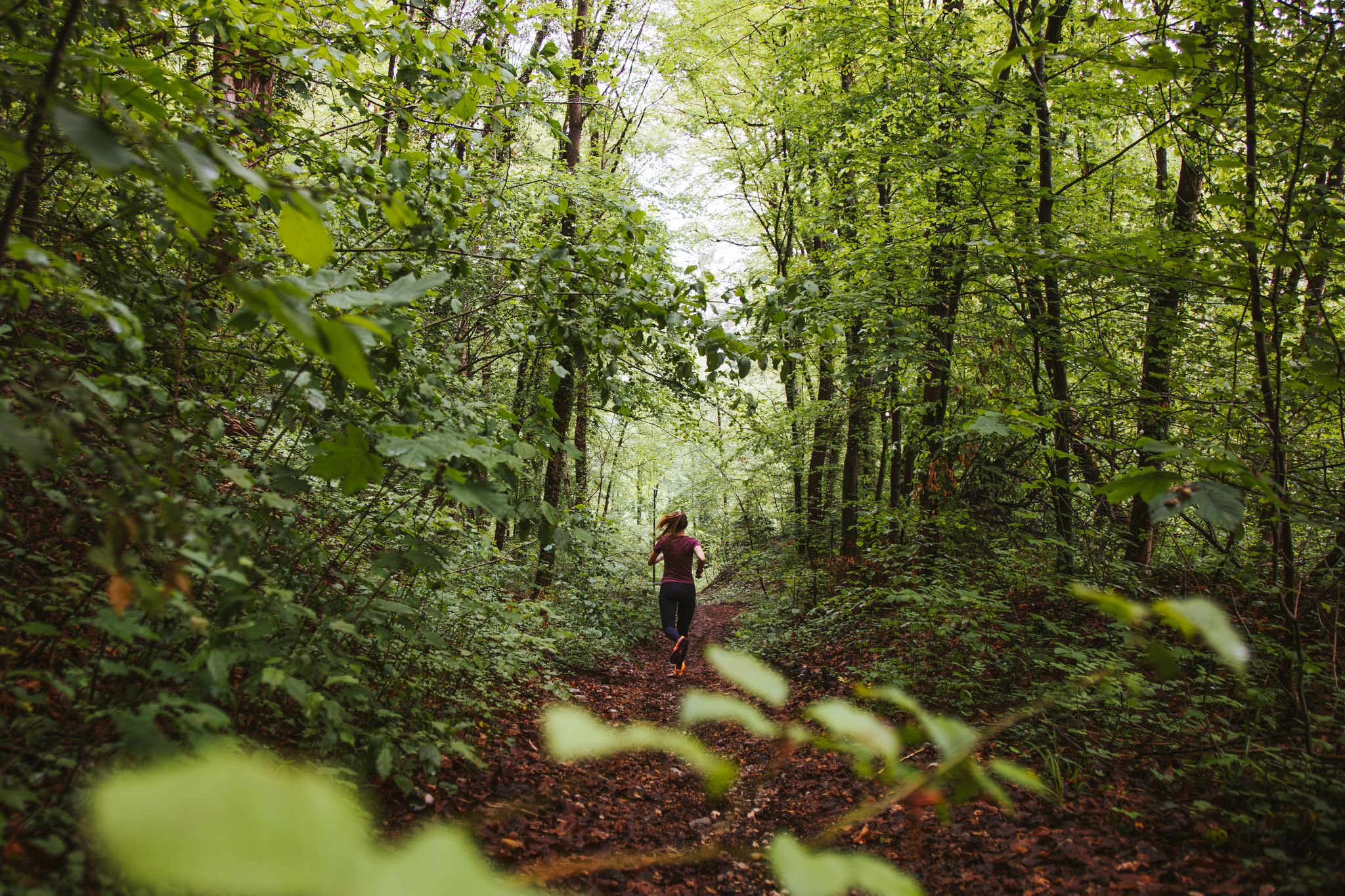
Easy hiking trails around Unterföhring are characterized by the flat terrain along the Isar River and its floodplains, offering accessible outdoor experiences. The region features natural areas like Feringasee and Heimstettener Moos, providing varied landscapes for walking. These routes are generally low in elevation gain, making them suitable for leisurely exploration. Located just north of Munich, Unterföhring provides a network of paths through riverside scenery and local recreation zones.
Best easy hiking trails around Unterföhring
- The most popular easy hiking…
Last updated: October 17, 2026
4.5
(32)
414
hikers
2.84km
00:43
0m
0m
Easy hike. Great for any fitness level. Easily-accessible paths. Suitable for all skill levels.
4.6
(40)
521
hikers
3.39km
00:51
10m
10m
Easy hike. Great for any fitness level. Easily-accessible paths. Suitable for all skill levels.

5.0
(4)
75
hikers
5.86km
01:29
10m
10m
Easy hike. Great for any fitness level. Easily-accessible paths. Suitable for all skill levels.
4.0
(1)
54
hikers
Easy hike. Great for any fitness level. Easily-accessible paths. Suitable for all skill levels.
4.7
(3)
70
hikers
5.41km
01:24
30m
30m
Easy hike. Great for any fitness level. Easily-accessible paths. Suitable for all skill levels.
Get access to more routes and recommendations from other explorers.
Already have an account?
Our route recommendations are based on thousands of hikes, rides, and runs completed by other people on komoot.
Start today with a free account
Your next adventure awaits.

Other adventures around Unterföhring


Tips from the Community

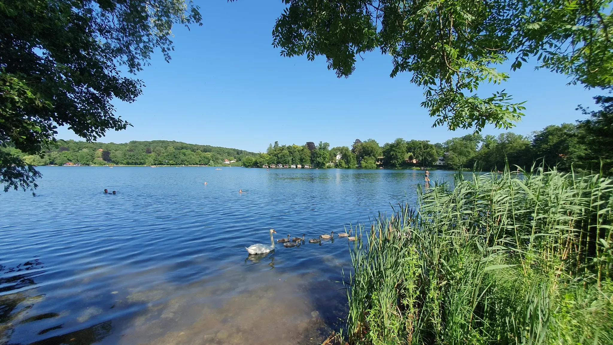
wonderfully beautiful lake. Lawns beer garden, everything is there. I also saw swimmers
0
0

Wonderful to explore the interesting sights in this magnificent area
0
0
Wonderful to explore the interesting sights in this magnificent area
0
0

The Isar River, sometimes wild, sometimes tame
0
0
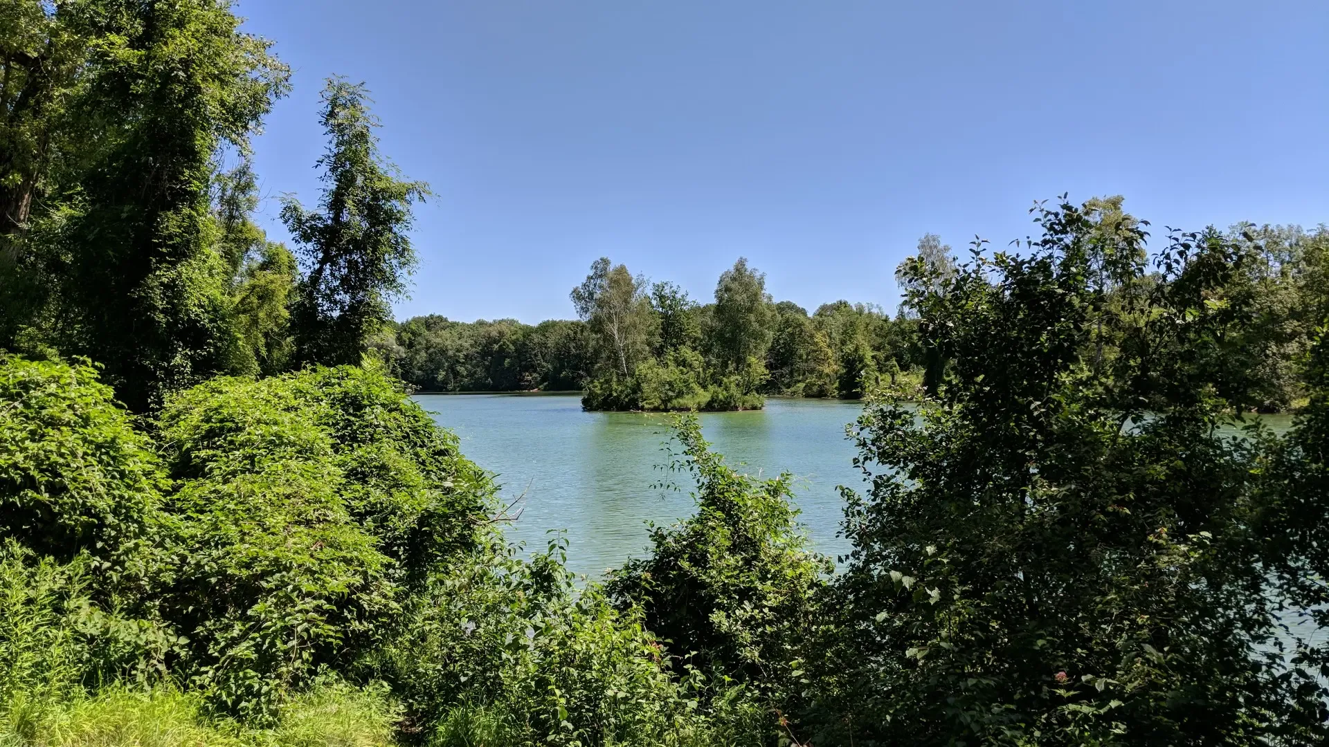
Beautiful view over the pond
0
0

Between the Isar river and the Isar canal you will find many peaceful, natural places with views of the water.
0
0

There's also a beer garden at the lake where you can refuel (check opening hours!). If you prefer something a little quieter, you can find a spot on the shore at the northern end, for example. When I was there in early October, the lake wasn't too busy despite the excellent weather, and there were plenty of dragonflies flitting around, and you could watch birds catching fish. It's perfect for enjoying nature without having to drive or hike far from the city.
0
0

Frequently Asked Questions
How many easy hiking trails are available around Unterföhring?
There are over 50 easy hiking trails around Unterföhring, offering a variety of routes through the flat terrain along the Isar River and local recreation areas. These routes are generally low in elevation gain, making them suitable for leisurely exploration.
Are there easy circular hiking routes in Unterföhring?
Yes, many easy routes in Unterföhring are circular. For example, the Lake Feringa loop from P1 is a popular 1.7-mile circular trail, and the Mittlere-Isar Canal – St. Emmeram Bridge loop offers a 3.3-mile option along the river.
Which easy trails are suitable for families or those with prams?
The Feringasee area is particularly well-suited for families. The well-signposted circular path around Lake Feringa, such as the Lake Feringa loop from Feringasee, is manageable with prams due to its flat terrain and paved sections.
Can I bring my dog on the easy hiking trails in Unterföhring?
Most easy hiking trails in Unterföhring, especially those along the Isar River and around Feringasee, are dog-friendly. Always keep your dog on a leash where required, particularly in nature reserve areas like Heimstettener Moos, and be mindful of other hikers and wildlife.
What natural features or landmarks can I expect to see on these easy hikes?
You'll encounter diverse natural features. The Isar River and its floodplains are central, offering serene riverside paths. The Feringasee recreation area provides lake views, while the Heimstettener Moos nature reserve showcases unique flora. On clear days, you might even catch glimpses of the Alpine panorama in the distance. You can also explore highlights like the Ismaning Reservoir.
Are there any waterfalls near the easy hiking routes?
While Unterföhring itself is flat, you can find nearby waterfalls that can be combined with an easy hike. Notable highlights include the Schwabinger Bach Waterfall and the Isar Cascades at Maximilian Bridge, which are accessible from the wider Munich area.
What is the best time of year for easy hikes around Unterföhring?
Spring and autumn are ideal for easy hiking in Unterföhring. The natural surroundings are particularly vibrant during these seasons, offering pleasant temperatures and beautiful scenery. Summer is also popular, especially around the lakes, but can be warmer.
What is the typical duration of an easy hike in this area?
Easy hikes in Unterföhring vary in length. Many popular routes, like the Lake Feringa loop from P1, can be completed in under an hour. Longer options, such as the Lake Feringa loop from Unterföhring, might take around 1 hour 45 minutes, depending on your pace.
Is there parking available near the easy hiking trails?
Yes, parking is generally available near popular starting points for easy hikes, especially around recreational areas like Feringasee. Many routes, such as the Lake Feringa loop from P1, indicate parking access in their descriptions.
Can I reach the easy hiking trails by public transport?
Unterföhring is well-connected by public transport, making many trailheads accessible without a car. Its proximity to Munich means you can often reach starting points for riverside walks or lake loops via local buses or S-Bahn connections.
Are there cafes or places to eat near the easy hiking routes?
Yes, especially around popular spots like Feringasee, you'll find cafes and restaurants where you can relax and refuel after your hike. The area offers various options for refreshments.
What do other hikers enjoy most about the easy trails in Unterföhring?
The easy trails in Unterföhring are highly rated by the komoot community, with an average score of 4.5 stars. Reviewers often praise the peaceful riverside paths, the accessibility of the Feringasee area, and the well-maintained routes that offer a pleasant escape into nature close to the city.
What other outdoor activities can I do in Unterföhring besides hiking?
Beyond hiking, Unterföhring offers various outdoor activities. The Feringasee and other local lakes like Poschinger Weiher are popular for swimming and water sports. The area is also excellent for cycling, with many paths suitable for both activities, such as the View of the Isar – Mittlerer Isarkanal loop.
Most popular routes around Unterföhring
Most popular attractions around Unterföhring

Get inspired with the komoot mobile app


Explore more
Browse the best Hikes in other regions.
