Easy hikes and walks in Saarschleife Und Leukbachtal
4.5
(21158)
81,493
hikers
112
hikes
Easy hiking trails in Saarschleife Und Leukbachtal navigate a landscape defined by the dramatic Saarschleife (Saar Loop), dense forests, and the tranquil Leukbach river valley. The region features significant elevation changes and varied terrain, including woodlands and riverine paths. Hikers can explore the iconic horseshoe bend of the Saar River and the serene environment of the Leukbachtal. This area offers a well-developed network of routes suitable for easy excursions.
Best easy hiking trails in Saarschleife Und Leukbachtal
- The most popular…
Last updated: October 17, 2026
4.6
(239)
1,004
hikers
5.34km
01:30
100m
110m
Easy hike. Great for any fitness level. Easily-accessible paths. Suitable for all skill levels.
4.8
(56)
219
hikers
4.89km
01:25
130m
130m
Easy hike. Great for any fitness level. Easily-accessible paths. Suitable for all skill levels.

4.5
(37)
191
hikers
4.69km
01:32
210m
210m
Easy hike. Great for any fitness level. Easily-accessible paths. Suitable for all skill levels.
4.7
(15)
76
hikers
Easy hike. Great for any fitness level. Easily-accessible paths. Suitable for all skill levels.
4.7
(22)
65
hikers
5.63km
01:34
100m
100m
Easy hike. Great for any fitness level. Easily-accessible paths. Suitable for all skill levels.
Get access to more routes and recommendations from other explorers.
Already have an account?
Our route recommendations are based on thousands of hikes, rides, and runs completed by other people on komoot.
Start today with a free account
Your next adventure awaits.
Popular around Saarschleife Und Leukbachtal
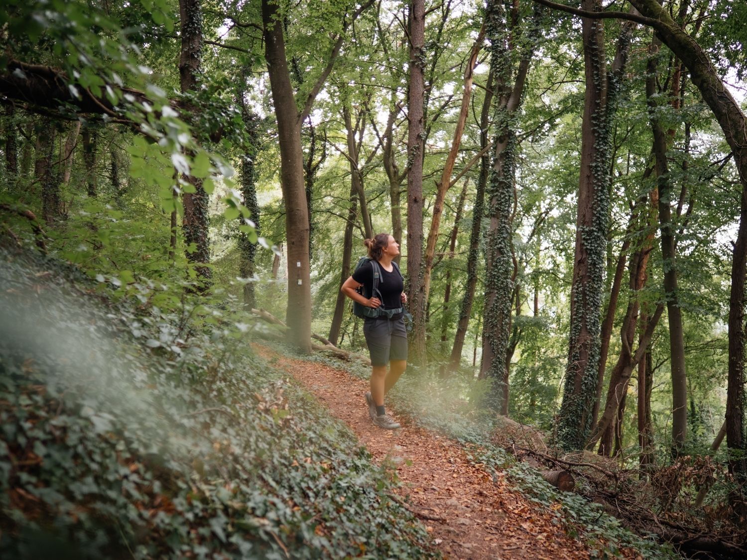
Day hikes on the Saar-Hunsrück Trail
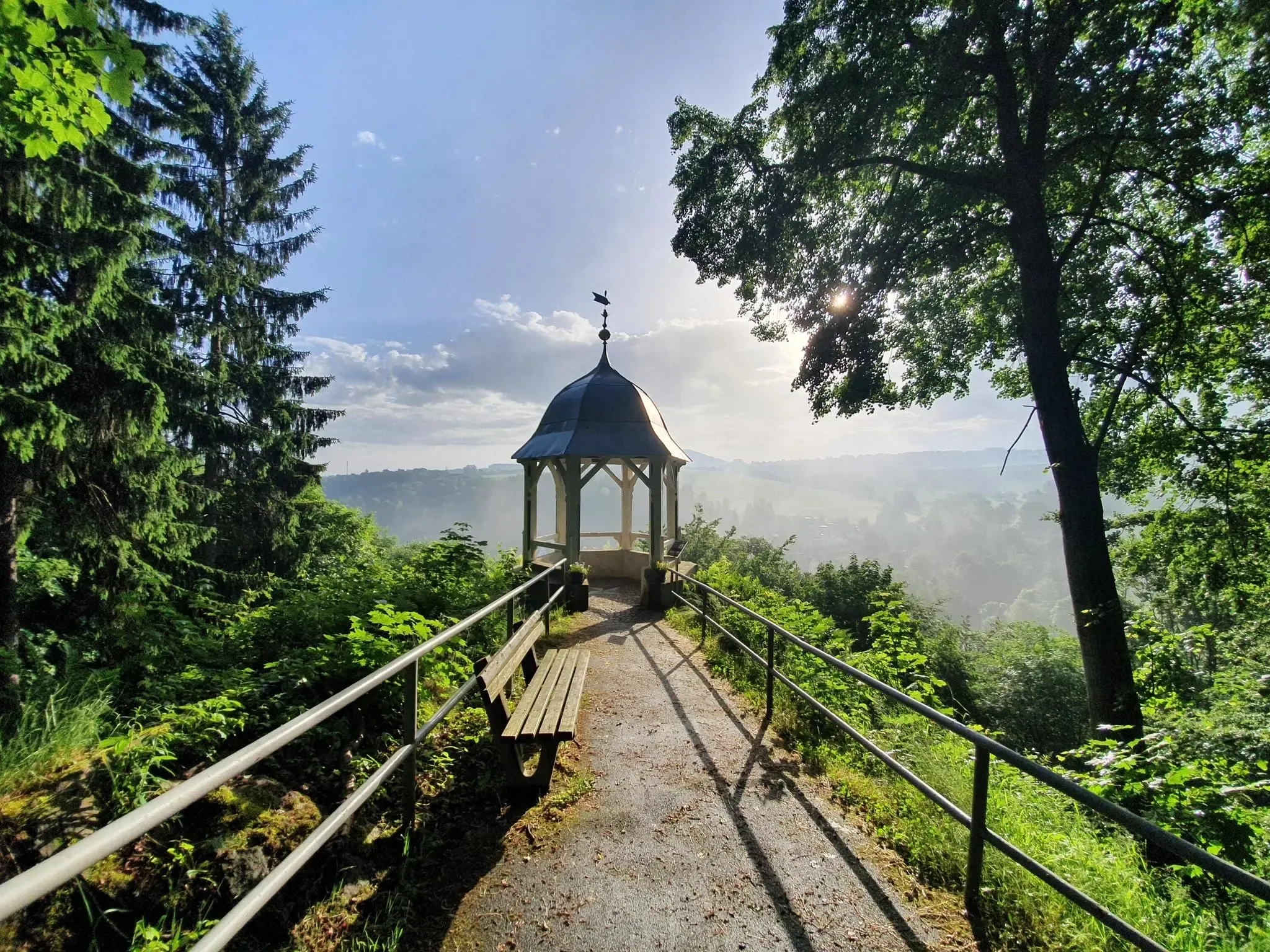
#GoFurther – discover the views of Germany!
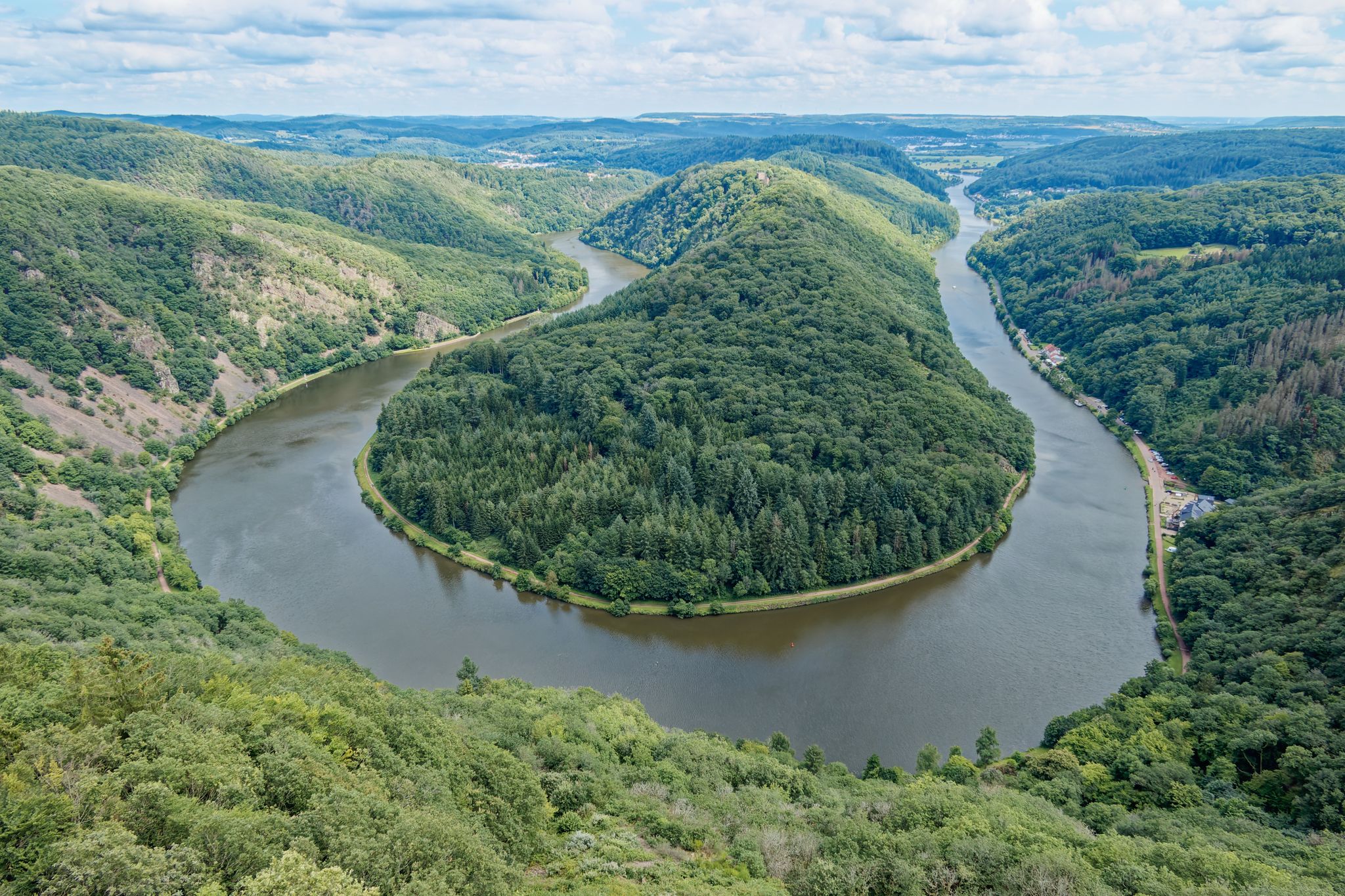
Hike Germany’s Saar-Hunsrück Climb with jungwandern.de
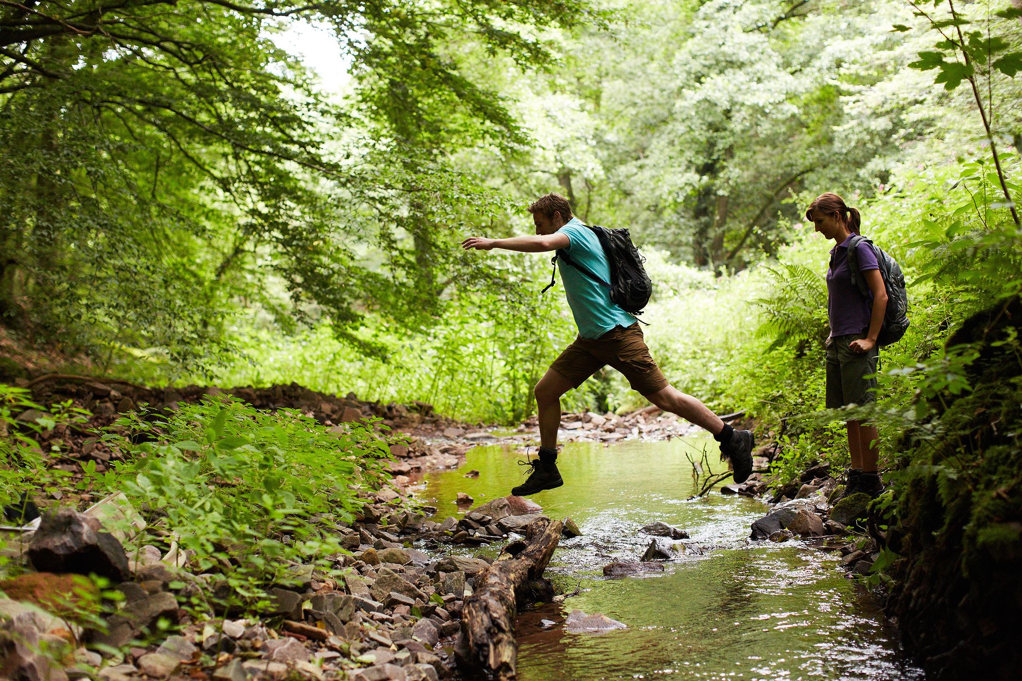
Countless trails, nature & history – hiking in Saarland
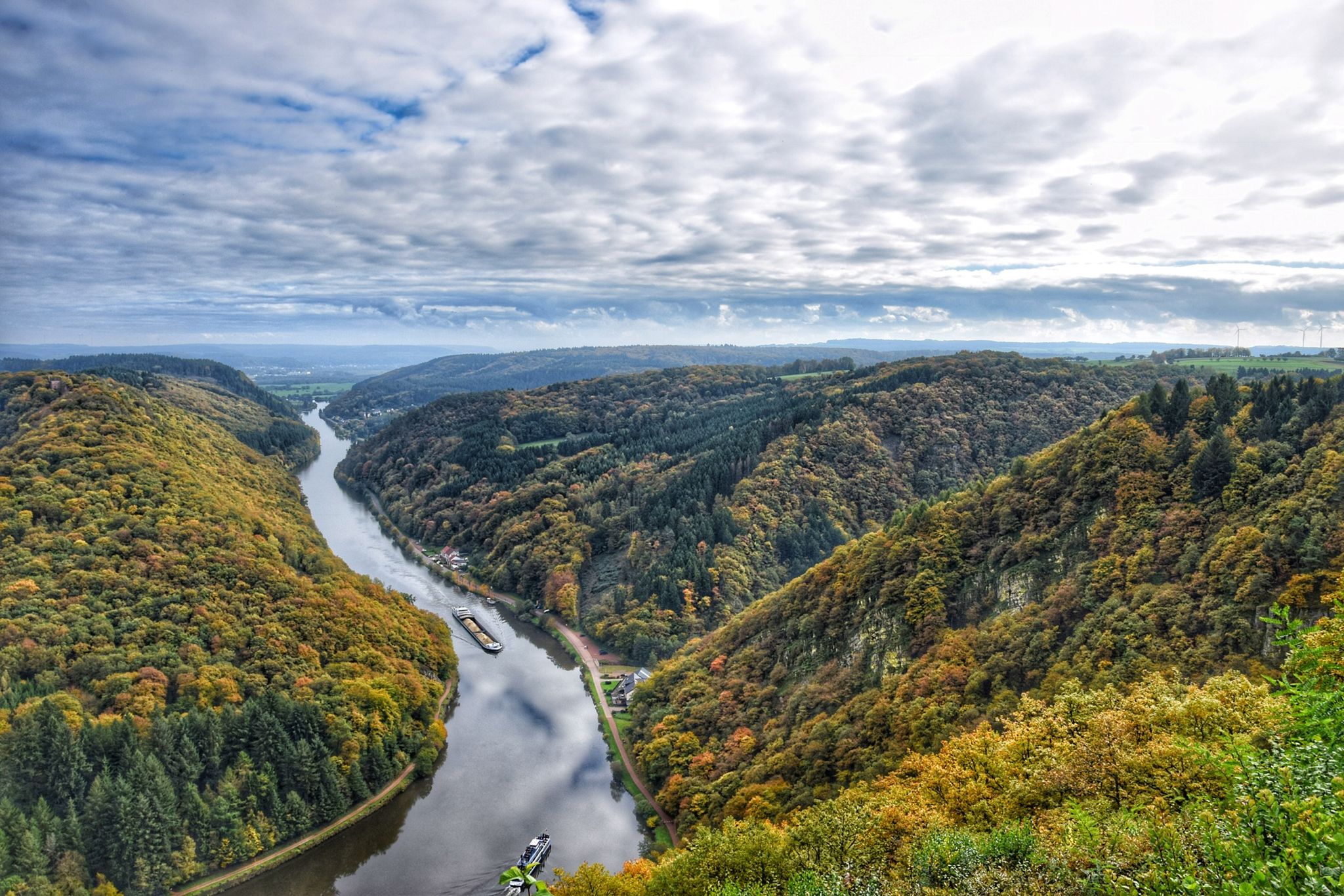
10 enchanting hikes through wild nature in Saarland
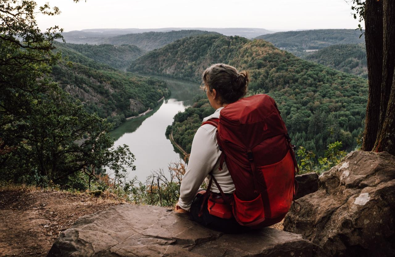
3 days immersed in Saarland's nature on the Saar-Hunsrück-Steig
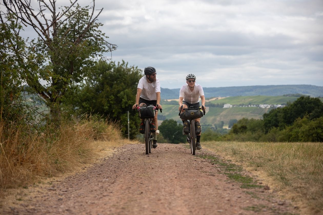
Saarland Gravel Loop: a three-border bikepacking tour
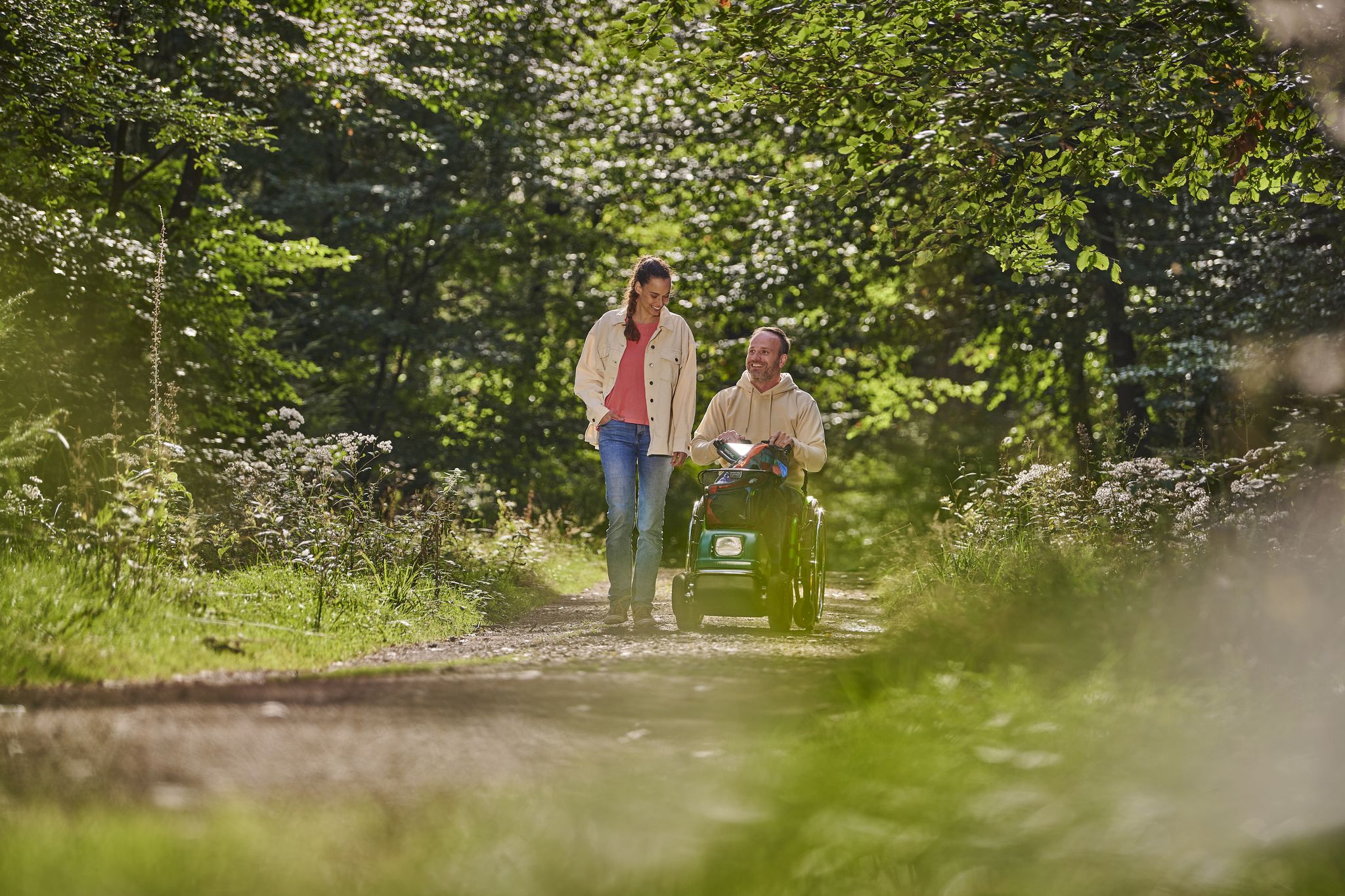
Outdoors – Nature experiences for everyone
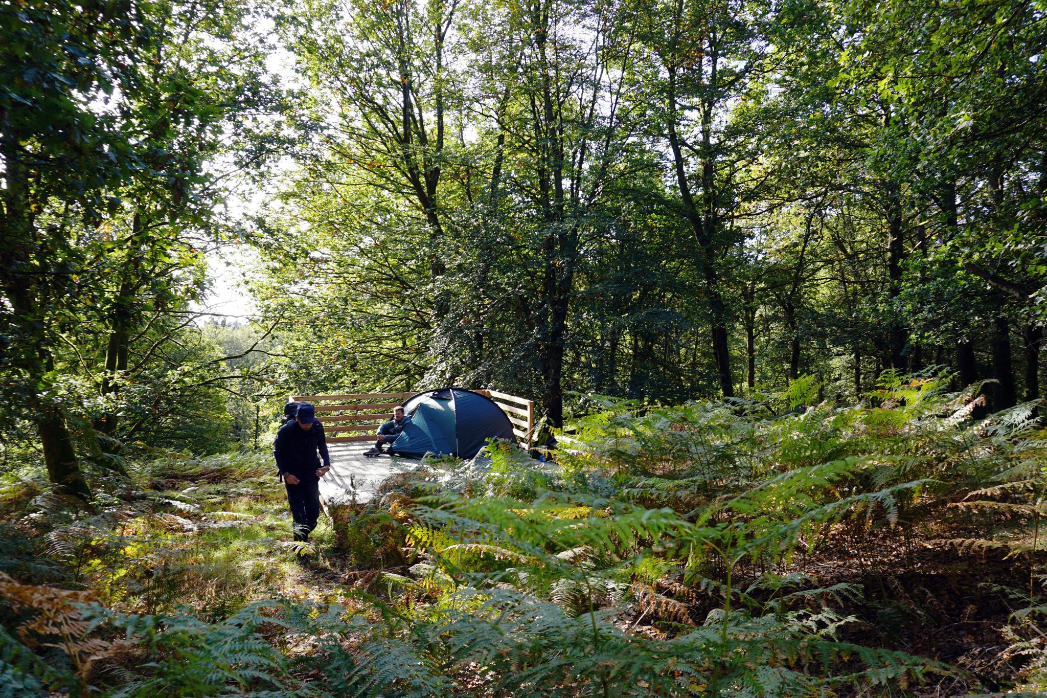
Trekkingfeeling auf dem Saar-Hunsrück-Steig – von Campground zu Campground
Other adventures in Saarschleife Und Leukbachtal


Tips from the Community

Very beautiful view of the Saarschleife Also suitable for people with walking difficulties
0
0

The forest path along the Leuk is wonderful for gravel bikes and provides cooling shade in the summer.
2
0

Fantastic view of the Saartal valley.
1
0


Many years ago we were up there before. In the meantime, the treetop path costs 14 euros for adults - quite steep.
0
0
The Cloef path winds under the treetop path at the end.
0
0

The only ferry in Saarland across the Saar river. The crossing takes only a few minutes (approx. 250 m route distance).
1
0
Frequently Asked Questions
How many easy hiking trails are available in Saarschleife Und Leukbachtal?
The Saarschleife Und Leukbachtal region offers a wide selection of easy hiking trails, with over 70 routes specifically categorized as easy. In total, there are more than 110 hiking routes across various difficulty levels.
What kind of terrain can I expect on easy hikes in Saarschleife Und Leukbachtal?
Easy hikes in this region feature a mix of terrain. You'll find paths winding through dense mixed forests, along the tranquil Leukbach river valley, and offering views of the dramatic Saar Loop. While generally accessible, some routes may include gentle elevation changes as they navigate the region's natural contours.
Are there any family-friendly easy hikes in the area?
Yes, the region is well-suited for family outings. For example, the Cloef Atrium – Ostrich farm loop from Orscholz is an easy 3.4-mile (5.4 km) path with accessible terrain, offering views towards the Saarschleife. The nearby Adventure Forest Saarschleife also provides over 25 play and learning stations, making it a great addition to a family day out.
Can I bring my dog on the easy hiking trails?
Many trails in Saarschleife Und Leukbachtal are dog-friendly, allowing you to enjoy the natural beauty with your canine companion. It's always recommended to keep dogs on a leash, especially in nature reserve areas or near wildlife, and to check specific trail regulations if available.
What natural landmarks or viewpoints can I see on easy hikes?
Easy hikes often lead to stunning natural landmarks. You can experience the iconic Saar Loop from various perspectives, including the famous Cloef viewing point. The Treetop Walk Saarschleife offers an accessible pathway through the forest with unique views. The tranquil Steinbach Valley is another beautiful natural feature you might encounter.
Are there any historical sites accessible via easy trails?
Yes, you can explore historical sites on easy trails. The Saarschleife – Montclair Castle loop from Nohn is an easy 3.1-mile (4.9 km) path that leads through forested areas and past the ruins of Montclair Castle, offering a glimpse into the region's past.
What is the best time of year for easy hikes in Saarschleife Und Leukbachtal?
The Saarschleife Und Leukbachtal region is beautiful year-round. Spring brings lush greenery and blooming wildflowers, while autumn offers vibrant foliage. Summer is ideal for longer days, and even winter can be magical with snow-dusted landscapes, though some paths might be slippery. Always check local conditions before heading out.
Are there easy circular walks available?
Yes, many easy routes in the region are circular, allowing you to start and end at the same point. For instance, the Shelter Near Stegmühle – Wooden Bridge Over the Stream loop from Schützenhaus Weiten is an easy 3.3-mile (5.2 km) circular trail through the serene Leukbach river valley.
What do other hikers say about the easy trails in Saarschleife Und Leukbachtal?
The easy trails in Saarschleife Und Leukbachtal are highly regarded by the komoot community, with an average rating of 4.7 stars from over 3,700 reviews. Hikers often praise the well-maintained paths, the stunning views of the Saar Loop, and the peaceful atmosphere of the forested areas and river valleys.
Are there any easy trails that offer views of the Saar River?
Absolutely. Many easy trails provide excellent views of the Saar River. The View of Besseringen – Saar oxbow pond loop from Mettlach is an easy 4.2-mile (6.8 km) route that offers scenic perspectives of the river and its unique oxbow ponds.
Are there any easy routes in the Leukbach Valley specifically?
Yes, the Leukbach Valley offers serene and easy hiking experiences. The Leukbach Valley – Marian Memorial Orscholz loop from Weiten is an easy 3.5-mile (5.6 km) trail that allows you to explore the tranquil environment of the Leukbach river as it meanders through the landscape.
Most popular routes in Saarschleife Und Leukbachtal
Most popular attractions in Saarschleife Und Leukbachtal

Get inspired with the komoot mobile app


Explore more
Browse the best Hikes in other regions.
