The best walks and hikes in Saarschleife Und Leukbachtal
4.5
(21156)
81,490
hikers
112
hikes
Hiking trails in Saarschleife Und Leukbachtal traverse a landscape defined by the dramatic Saarschleife, a deep horseshoe bend of the Saar River. The region features forested mountains with a mix of beech, hornbeam, oak, and Douglas fir trees, alongside creeks and river streams. The Leukbachtal area, part of the Saar-Hunsrück Nature Park, offers a serene environment where the Leukbach river meanders through a landscape of water and rocks. Hikers can expect varied terrain, including uneven rocky sections and significant elevation changes.
Best hiking trails in Saarschleife Und Leukbachtal
- The most popular hiking route is Cloefpfad dream loop - Saar-Hunsrück Nature Park, a 5.0 miles (8.1 km) trail that takes 2 hours 24 minutes to complete. This moderate path leads to the Saar River and ascends to the Treetop Trail and Cloef viewing point.
- Another top favourite among local hikers is Cloef Atrium – Ostrich farm loop from Orscholz, an easy 3.4 miles (5.4 km) path. This route offers accessible terrain and views near Orscholz, suitable for a shorter outing.
- Local hikers also love the Montclair Castle – Richteiche St. Gangolf loop from Nohn, a 6.3 miles (10.2 km) trail leading through forested areas and past the historic Montclair Castle, often completed in about 2 hours 50 minutes.
- Hiking in Saarschleife Und Leukbachtal is defined by the iconic Saarschleife viewpoint, dense forested mountains, and the tranquil Leukbach river valley. The network offers options for different ability levels, from easy strolls to challenging multi-hour hikes.
- The routes in Saarschleife Und Leukbachtal are highly rated by the komoot community with an average score of 4.6 stars from more than 4000 reviews. More than 18000 hikers have used komoot to explore Saarschleife Und Leukbachtal's varied terrain.
Last updated: October 14, 2026
4.8
(1384)
4,579
hikers
8.12km
02:24
240m
240m
Moderate hike. Good fitness required. Easily-accessible paths. Suitable for all skill levels.
4.7
(238)
866
hikers
15.9km
04:39
420m
420m
Moderate hike. Good fitness required. Easily-accessible paths. Suitable for all skill levels.

4.6
(239)
1,004
hikers
5.34km
01:30
100m
110m
Easy hike. Great for any fitness level. Easily-accessible paths. Suitable for all skill levels.
4.6
(177)
596
hikers
11.8km
03:28
330m
330m
Moderate hike. Good fitness required. Easily-accessible paths. Suitable for all skill levels.
4.7
(92)
342
hikers
10.5km
02:55
200m
190m
Moderate hike. Good fitness required. Easily-accessible paths. Suitable for all skill levels.
Get access to more routes and recommendations from other explorers.
Already have an account?
Our route recommendations are based on thousands of hikes, rides, and runs completed by other people on komoot.
Start today with a free account
Your next adventure awaits.
Popular around Saarschleife Und Leukbachtal
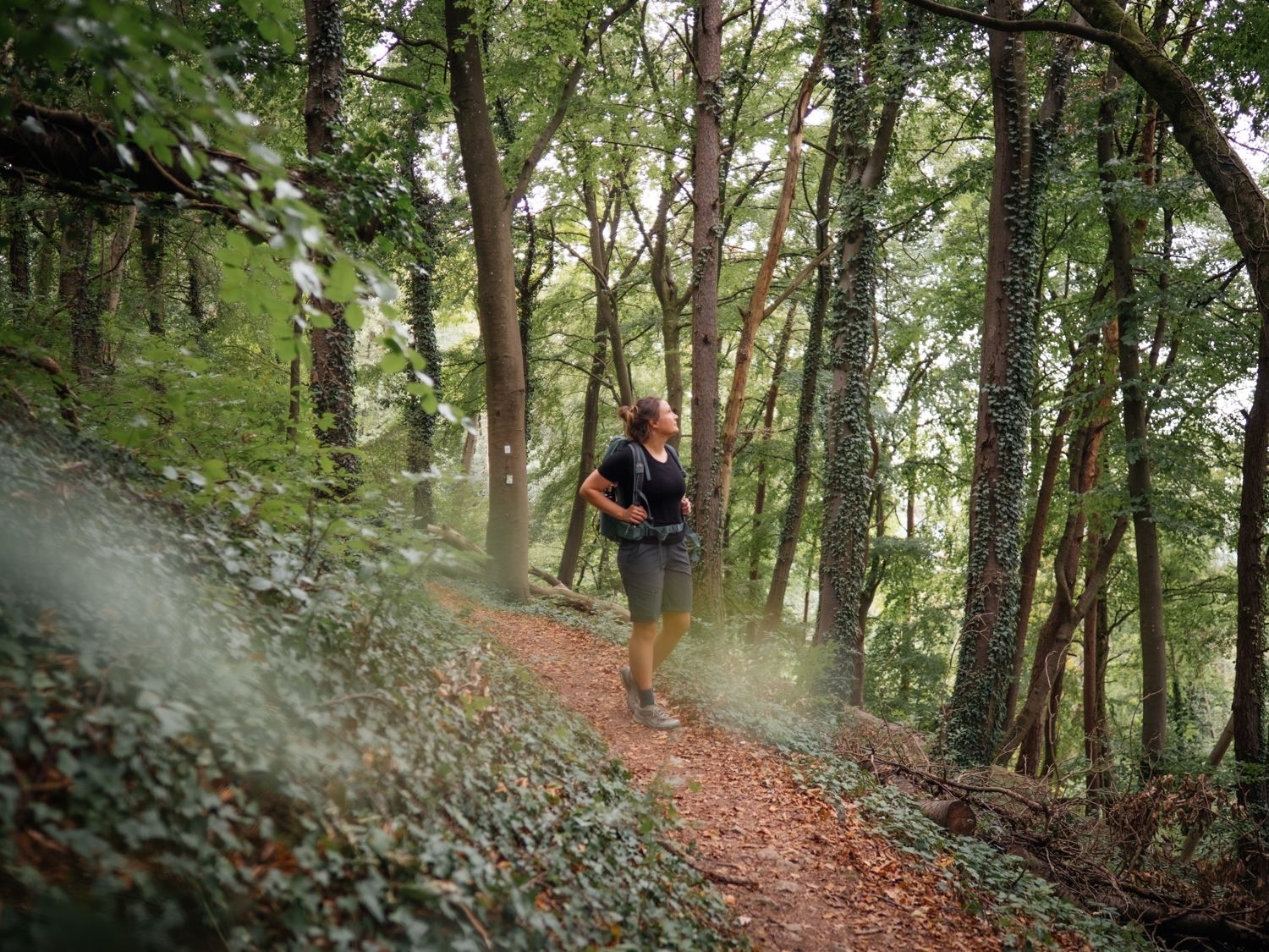
Day hikes on the Saar-Hunsrück Trail

#GoFurther – discover the views of Germany!
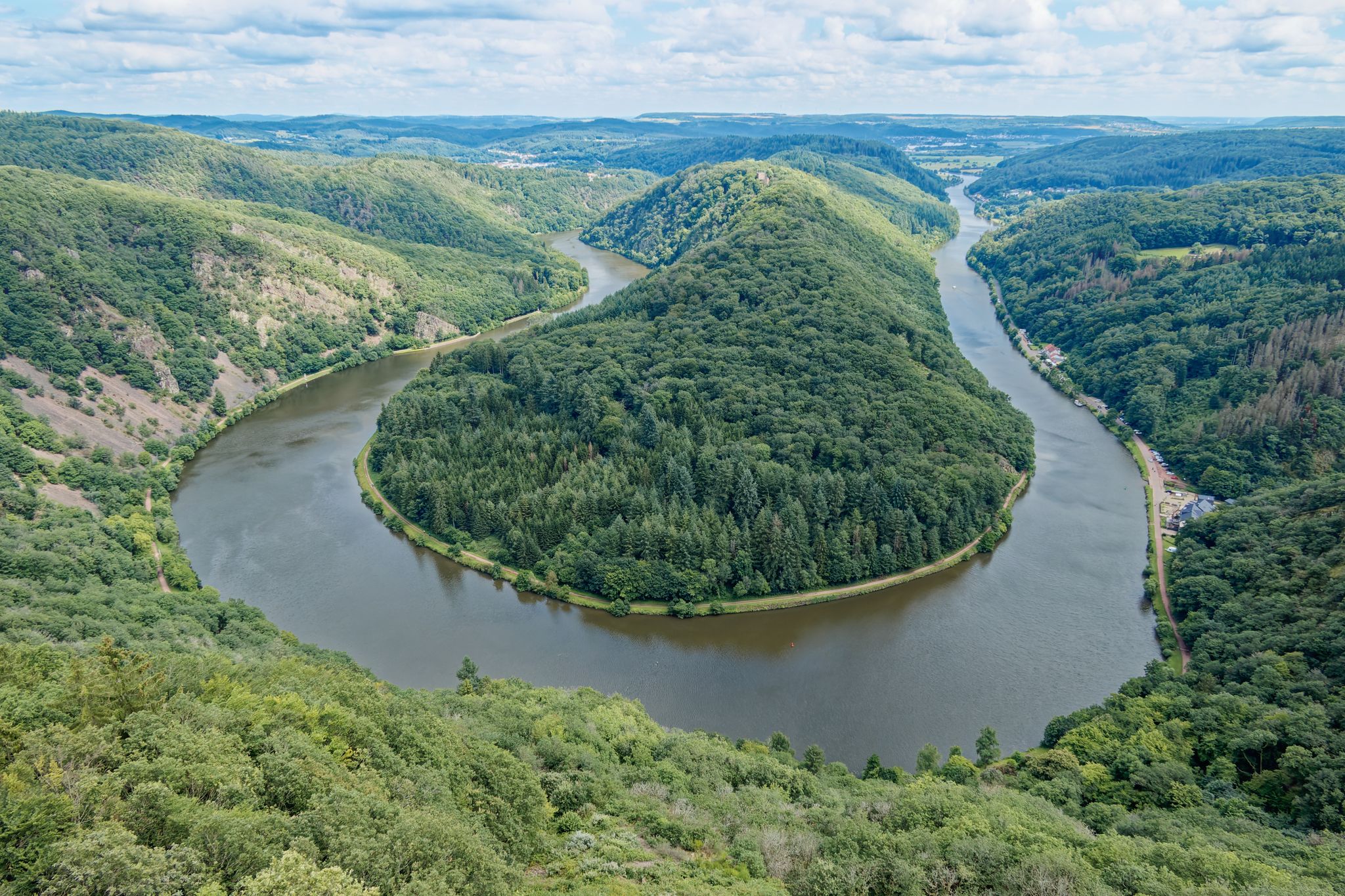
Hike Germany’s Saar-Hunsrück Climb with jungwandern.de

Countless trails, nature & history – hiking in Saarland
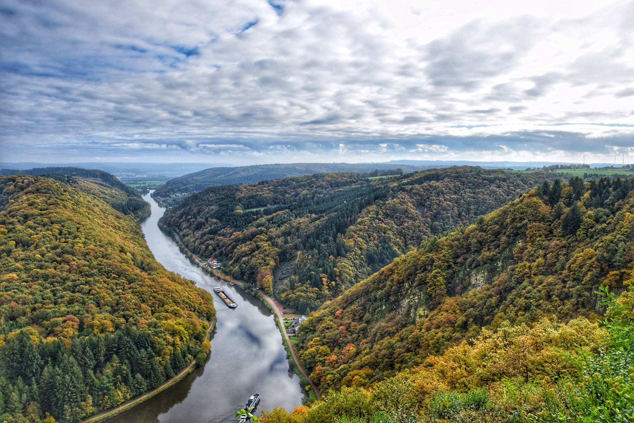
10 enchanting hikes through wild nature in Saarland
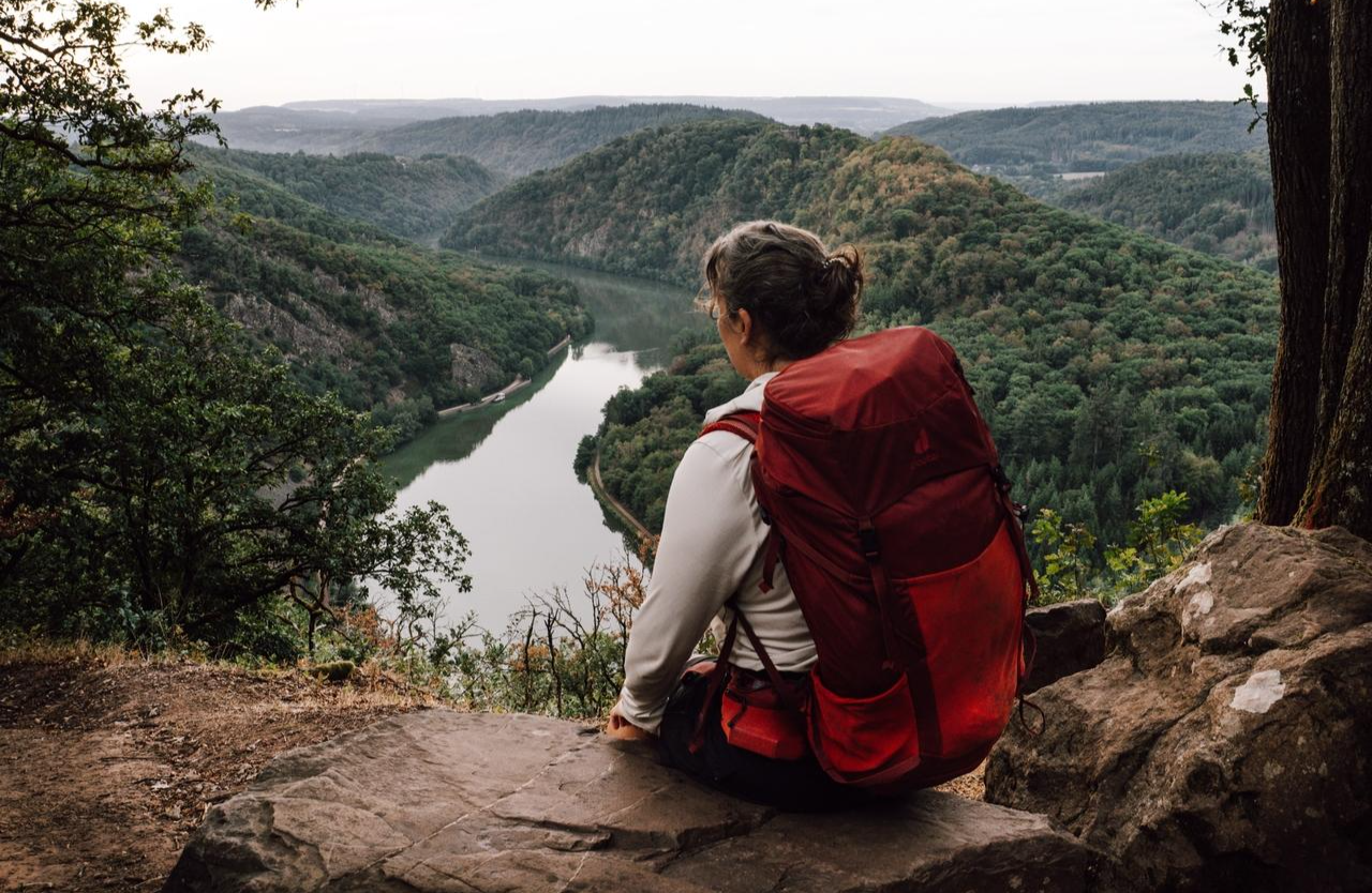
3 days immersed in Saarland's nature on the Saar-Hunsrück-Steig
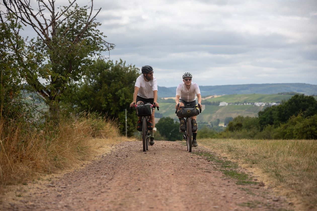
Saarland Gravel Loop: a three-border bikepacking tour
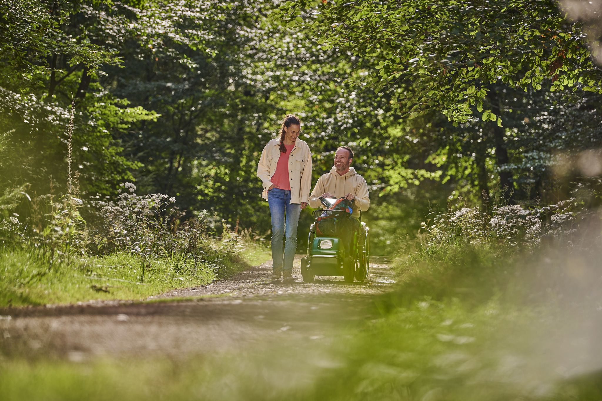
Outdoors – Nature experiences for everyone
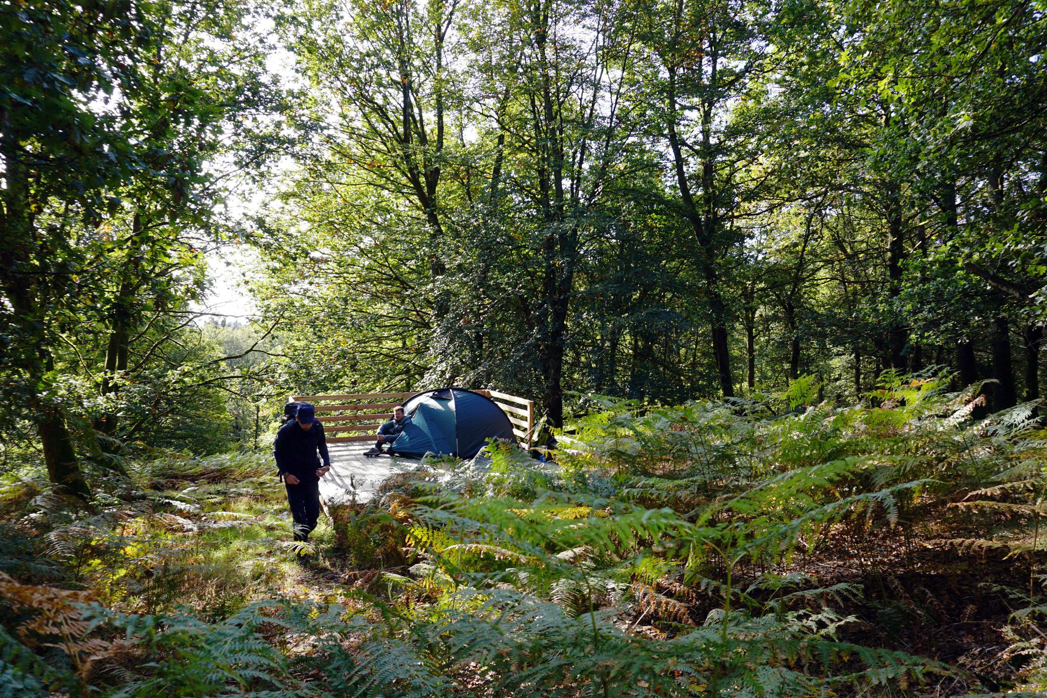
Trekkingfeeling auf dem Saar-Hunsrück-Steig – von Campground zu Campground
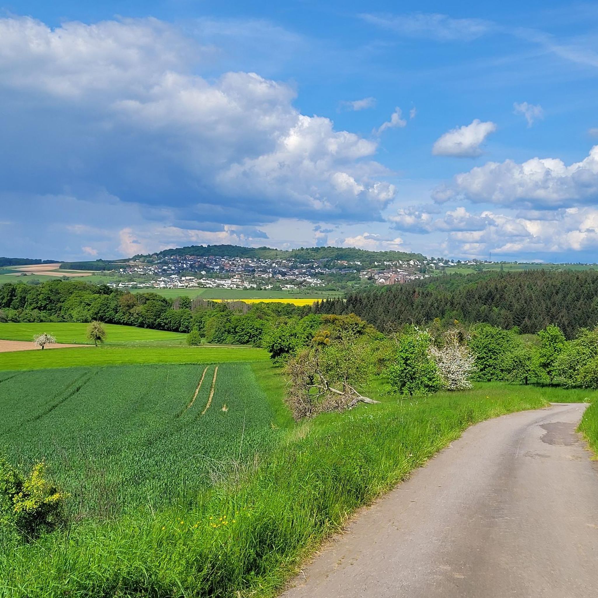
MTB Trails in Saarschleife Und Leukbachtal
Other adventures in Saarschleife Und Leukbachtal


Tips from the Community

Very beautiful view of the Saarschleife Also suitable for people with walking difficulties
0
0

Fantastic view of the Saartal valley.
1
0


Many years ago we were up there before. In the meantime, the treetop path costs 14 euros for adults - quite steep.
0
0

In summer, the beautiful view down to the Saar is quite limited due to the foliage.
1
0


Entry currently costs €15 for adults. The climb is quite pleasant, and the view from the top is, of course, spectacular. You get an even more dramatic view of the Saar Loop than from the Cloef viewpoint. Whether it's worth the entrance fee is something you'll have to decide for yourself.
0
0
Frequently Asked Questions
How many hiking trails are available in Saarschleife Und Leukbachtal?
There are over 100 hiking routes in Saarschleife Und Leukbachtal, catering to various fitness levels. You'll find everything from easy strolls to more challenging multi-hour hikes, with 57 routes classified as easy and 43 as moderate.
Are there easy hiking trails suitable for beginners or families?
Yes, Saarschleife Und Leukbachtal offers many easy trails perfect for beginners or families. The Leukbachtal area, in particular, is known for its more serene and accessible paths. An example is the Cloef Atrium – Ostrich farm loop from Orscholz, an easy 5.4 km route that provides pleasant views near Orscholz.
What are the most notable landmarks or viewpoints to see while hiking?
The region is famous for the dramatic Saarschleife, best viewed from the Cloef Viewpoint, which sits 180 meters above the river. Another popular attraction is the Montclair Castle, a historic ruin located within the river bend. You can also visit the Vogelfelsen Viewpoint for different perspectives of the landscape.
Are there any circular hiking routes in the area?
Yes, many trails in Saarschleife Und Leukbachtal are designed as circular routes, allowing you to start and end at the same point. A popular moderate option is the Cloefpfad dream loop - Saar-Hunsrück Nature Park, an 8.1 km path that leads to the Saar River and up to the Treetop Trail and Cloef viewing point.
What is the best time of year to go hiking in Saarschleife Und Leukbachtal?
The region is beautiful year-round, but spring and autumn offer particularly pleasant conditions with mild temperatures and vibrant foliage. Spring brings blooming nature, while autumn showcases stunning colors in the mixed deciduous forests. Summer is also popular, though trails can be busier. Winter hiking is possible, especially on cleared paths, offering a serene experience of the frosted landscapes.
Are the hiking trails in Saarschleife Und Leukbachtal dog-friendly?
Most hiking trails in Saarschleife Und Leukbachtal are dog-friendly, allowing you to explore with your canine companion. It's always recommended to keep dogs on a leash, especially in nature reserve areas or near wildlife, and to carry water for them. Always check specific trail regulations if you plan to visit a particular attraction like the Treetop Walk, as access rules may vary.
What kind of terrain can I expect on the trails?
The terrain in Saarschleife Und Leukbachtal is diverse. You'll encounter forested mountains with mixed tree species, alongside creeks and river streams. Expect varied surfaces, including well-maintained paths, uneven rocky sections, and significant elevation changes, particularly around the Saarschleife. The Leukbachtal offers a more gentle landscape of water and rocks.
Where can I find parking for the hiking trails?
Parking is generally available at popular starting points for trails, especially near major attractions like the Cloef Viewpoint and the Treetop Walk. For instance, routes often begin from designated parking areas in towns like Orscholz. Always look for specific parking information when planning your route to ensure convenience.
Are there any challenging hikes for experienced hikers?
Yes, for experienced hikers seeking a challenge, the region offers routes with significant elevation gain and longer distances. While not explicitly listed in the top routes, the area has 3 trails classified as difficult out of over 100. These often involve steeper ascents and descents, providing a more strenuous experience.
What do other hikers enjoy most about hiking in Saarschleife Und Leukbachtal?
The area is highly rated by the komoot community, with an average score of 4.6 stars from over 4,400 reviews. Reviewers often praise the breathtaking views of the Saarschleife, the diverse forested landscapes, and the well-maintained trails. Many highlight the unique experience of combining natural beauty with historical sites like Montclair Castle.
Can I reach the hiking trails using public transport?
Public transport options are available to reach some areas, particularly larger towns and starting points for popular trails. While specific routes vary, it's advisable to check local bus schedules for connections to villages near trailheads, especially for areas like the Leukbachtal, to plan your journey effectively.
Are there places to eat or get refreshments near the trails?
Yes, you'll find various amenities, including cafes and restaurants, particularly in towns like Mettlach and Orscholz, which are common starting points or pass-through locations for many hikes. The Cloef Atrium near the viewpoint also offers dining options. It's always a good idea to check opening hours, especially during off-peak seasons.
Most popular routes in Saarschleife Und Leukbachtal
Most popular attractions in Saarschleife Und Leukbachtal

Get inspired with the komoot mobile app


Explore more
Browse the best Hikes in other regions.
