The best walks and hikes around Kestenholz
4.6
(2815)
14,441
hikers
766
hikes
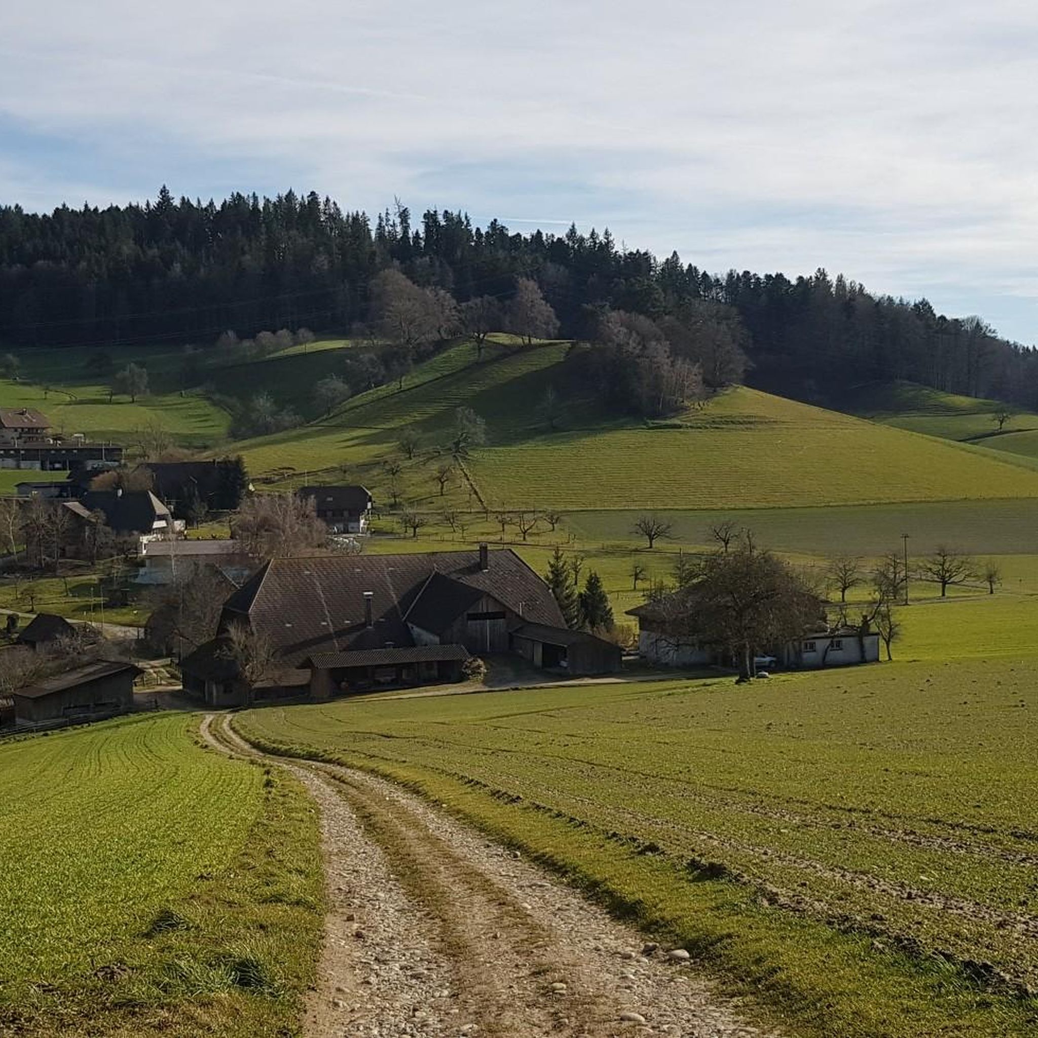
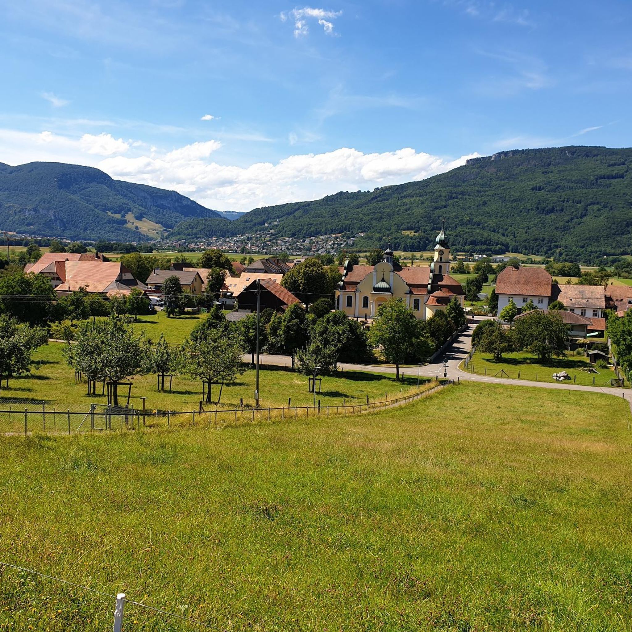
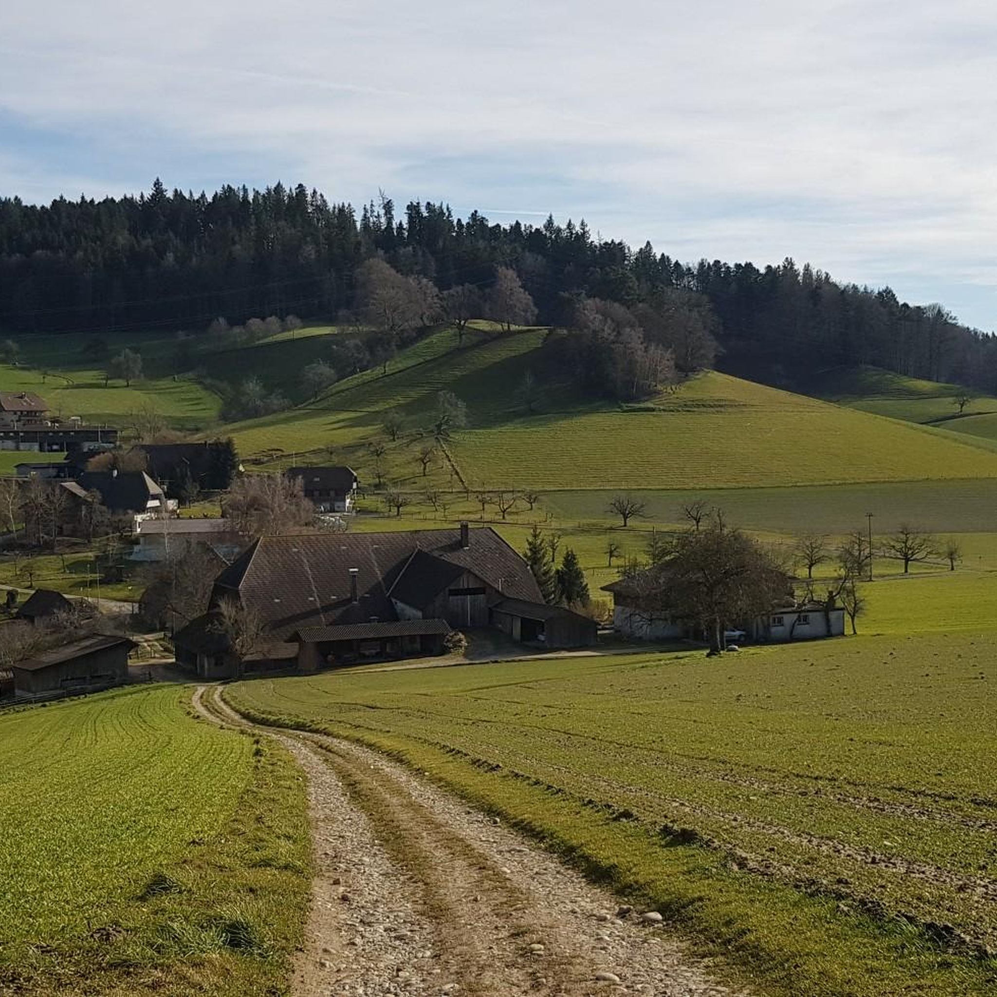
Hiking around Kestenholz offers diverse landscapes within the Gäu district of Solothurn, Switzerland. The municipality is characterized by extensive forested areas, covering over 38% of its land, and significant agricultural land, making up over 52%. Situated on the southern edge of the Dünnern river, the region features natural flowing water and is near the Regional Nature Park Thal, providing varied terrain for outdoor activities.
Best hiking trails around Kestenholz
- The most popular hiking route is Shelter near Bern loop from…
Last updated: August 20, 2026
8
hikers
7.43km
02:00
90m
90m
Easy hike. Great for any fitness level. Easily-accessible paths. Suitable for all skill levels.
5.0
(2)
8
hikers
18.8km
05:47
550m
550m
Hard hike. Very good fitness required. Mostly accessible paths. Sure-footedness required.

Sign up for free
5.0
(1)
10
hikers
7.87km
02:06
80m
90m
Moderate hike. Good fitness required. Easily-accessible paths. Suitable for all skill levels.
9
hikers
11.5km
03:06
150m
150m
Moderate hike. Good fitness required. Easily-accessible paths. Suitable for all skill levels.
6
hikers
11.2km
02:56
80m
80m
Moderate hike. Good fitness required. Easily-accessible paths. Suitable for all skill levels.
Get access to more routes and recommendations from other explorers.
Sign up for free
Already have an account?
Our route recommendations are based on thousands of hikes, rides, and runs completed by other people on komoot.
Start today with a free account
Your next adventure awaits.
Login or Signup
Tips from the Community

Very steep, sometimes narrow, many steps – generally safe – but certainly easier going up than down. Magnificent views with a ridge walk – if you make it to the top.
0
0

Ideal resting place with fire pit: carry barbecue food in your backpack!
1
0
It's really steep! Be careful when descending.
0
0

This fountain located on the cycleway leading through the village has freshwater located in the shade and there are several other small shops to load up on snacks and food.
0
0

The small but beautiful Egerkinger Dorfbach waterfall.
0
0

The JURAworld of Coffee is the visitor center of the Swiss company JURA, which is entirely dedicated to the topic of coffee. In addition to interactive exhibitions and attractions related to the brand, the JURAworld café invites you to take a relaxing break. In the coffee lounge, you can expect a wide range of classic and trendy coffees prepared with JURA machines. There is also a selection of seasonal patisseries that can either be enjoyed on site or taken away. Opening hours: Monday - Friday: 9:00 a.m. - 6:30 p.m. Saturday: 9:00 a.m. - 4:00 p.m.
1
0

The Belchenflue, known locally as Bölche and also known as the Swiss Belchen to distinguish it from the mountain peaks of the same name in Germany and France, is a prominent mountain peak in the Swiss Jura. It is 1,099 m above sea level and lies about 7 km west of Olten. The border between the cantons of Basel-Landschaft and Solothurn runs across the rocky peak.
0
0

Steep path. Be careful when it is wet, it can become slippery
1
0
Frequently Asked Questions
How many hiking trails are available around Kestenholz?
There are over 800 hiking routes recorded around Kestenholz on komoot, offering a wide variety of options for all skill levels. This includes more than 370 easy routes, 360 moderate routes, and 70 difficult trails.
Are there easy hiking options suitable for beginners in Kestenholz?
Yes, Kestenholz offers numerous easy hiking options perfect for beginners or those looking for a relaxed stroll. For example, the Shelter near Bern loop from Kestenholz is an easy 4.6-mile (7.4 km) trail that takes about 2 hours to complete, providing a gentle exploration of the local surroundings.
Can I find challenging hikes with rewarding views near Kestenholz?
Absolutely. For a more challenging experience with panoramic vistas, consider the Roggenschnarz – Roggenflue Viewpoint loop from Kestenholz. This difficult 11.6-mile (18.6 km) path leads to the Roggenflue Viewpoint, offering expansive views of the area. The Belchenflue Summit Viewpoint is also highly recommended for its rewarding panoramic views.
What kind of natural landscapes can I expect to see while hiking around Kestenholz?
Hiking around Kestenholz offers diverse landscapes. You'll encounter extensive forested areas, which cover over 38% of the municipality, providing shaded paths. Over half of the area is agricultural land, featuring picturesque fields and orchards. The region is also situated on the southern edge of the Dünnern river, so you'll find natural flowing water features. The nearby Regional Nature Park Thal further enhances the natural exploration opportunities.
Are there any specific attractions or landmarks to look out for on hikes near Kestenholz?
Yes, several attractions enhance the hiking experience. The Teufelsschlucht Waterfalls and Pools (Tüfels Gorge) provides a beautiful path, particularly enjoyable for its natural scenery. The Belchenflue Summit Viewpoint offers rewarding panoramic views. You might also encounter the Wasserfallen Mountain Station, a notable starting point for excursions. For a unique experience, the Alpaca Pasture in Solothurn – Shelter near Bern loop from Bezirk Gäu takes you through varied landscapes including an alpaca pasture.
Are the hiking trails around Kestenholz suitable for families with children?
Many trails around Kestenholz are suitable for families, especially the numerous easy routes. The varied landscapes, including forests and agricultural fields, provide engaging environments for children. Look for shorter, less strenuous loops that offer interesting natural features or points of interest to keep younger hikers entertained.
Are there hiking routes that feature waterfalls or other water elements near Kestenholz?
Yes, the region features natural flowing water, including the Dünnern river. A notable attraction is the Teufelsschlucht Waterfalls and Pools (Tüfels Gorge), which offers a scenic path with water features. You can also explore the JURAworld of Coffee – Egerkingen Waterfall loop from Bezirk Gäu for a hike that includes a waterfall.
What is the best time of year to go hiking in Kestenholz?
Kestenholz offers hiking opportunities throughout much of the year. The dense forests provide shade in warmer months, while the varied landscapes are picturesque in spring and autumn. Early hours are often recommended for popular spots like Tüfels Gorge to avoid crowds. For specific seasonal conditions, it's always good to check local weather forecasts.
How accessible are the hiking trails around Kestenholz by public transport?
Kestenholz is a municipality in the Gäu district of Solothurn, Switzerland, and generally, Swiss public transport is very efficient. While specific trailheads might require a short walk from a bus or train stop, many routes are designed with accessibility in mind. It's advisable to check local bus schedules for connections to specific starting points.
Is parking available near the trailheads in Kestenholz?
Yes, parking is generally available near popular trailheads and attractions in and around Kestenholz. As a region recognized for outdoor activities, efforts are made to accommodate visitors. However, specific parking availability can vary, so it's always a good idea to check route details or local signage upon arrival.
What do other hikers say about the trails in Kestenholz?
The hiking routes in Kestenholz are highly rated by the komoot community, with an average score of 4.6 stars from over 2,300 reviews. Hikers often praise the diverse terrain, from dense forests to agricultural fields, and the well-maintained paths. The region's natural beauty and varied options for different skill levels are frequently highlighted.
Are there any circular hiking routes in the Kestenholz area?
Yes, many of the trails around Kestenholz are designed as circular routes, allowing you to start and end at the same point. Examples include the Shelter near Bern loop from Kestenholz and the challenging Roggenschnarz – Roggenflue Viewpoint loop from Kestenholz, providing convenient options for exploration.
Most popular routes around Kestenholz
Most popular attractions around Kestenholz

Get inspired with the komoot mobile app


Explore more
Browse the best Hikes in other regions.
