The best running trails around Kestenholz
4.5
(227)
5,565
runners
416
runs
Jogging routes Kestenholz offer diverse terrain through forests, agricultural areas, and along the Dünnern river. Situated in the Gäu district, the municipality provides a mix of flat paths and routes with moderate elevation changes, extending into the nearby Jura mountains. Runners can explore peaceful woodlands and open fields, with options ranging from easy loops to more challenging trails. The landscape is characterized by its significant forest cover and agricultural land, providing varied natural settings for running.
Best jogging routes around…
Last updated: June 27, 2026
5.0
(1)
80
runners
11.8km
01:29
510m
510m
Hard run. Very good fitness required. Sure-footedness, sturdy shoes and alpine experience required.
6
runners
8.84km
00:56
100m
100m
Moderate run. Good fitness required. Mostly paved surfaces. Suitable for all skill levels.

Sign up for free
7
runners
6.03km
00:37
10m
10m
Moderate run. Good fitness required. Mostly paved surfaces. Suitable for all skill levels.
5
runners
5.69km
00:35
20m
20m
Moderate run. Good fitness required. Mostly paved surfaces. Suitable for all skill levels.
3
runners
11.1km
01:10
120m
120m
Moderate run. Good fitness required. Mostly paved surfaces. Suitable for all skill levels.
Get access to more routes and recommendations from other explorers.
Sign up for free
Already have an account?
Our route recommendations are based on thousands of hikes, rides, and runs completed by other people on komoot.
Start today with a free account
Your next adventure awaits.
Login or Signup
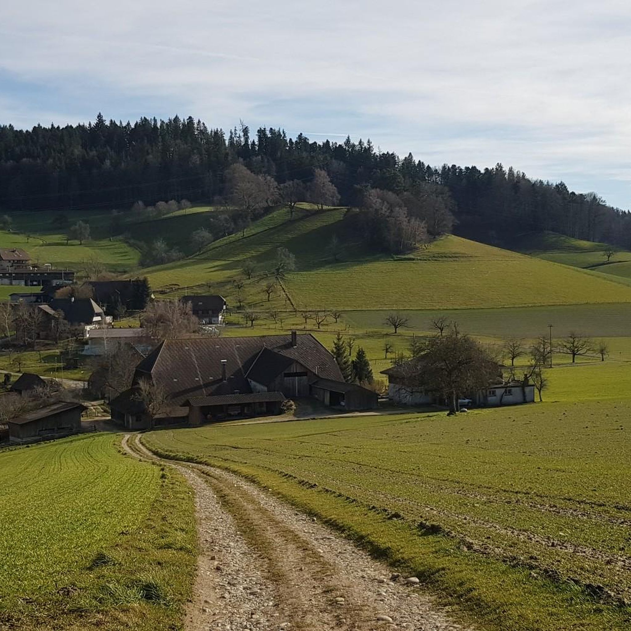
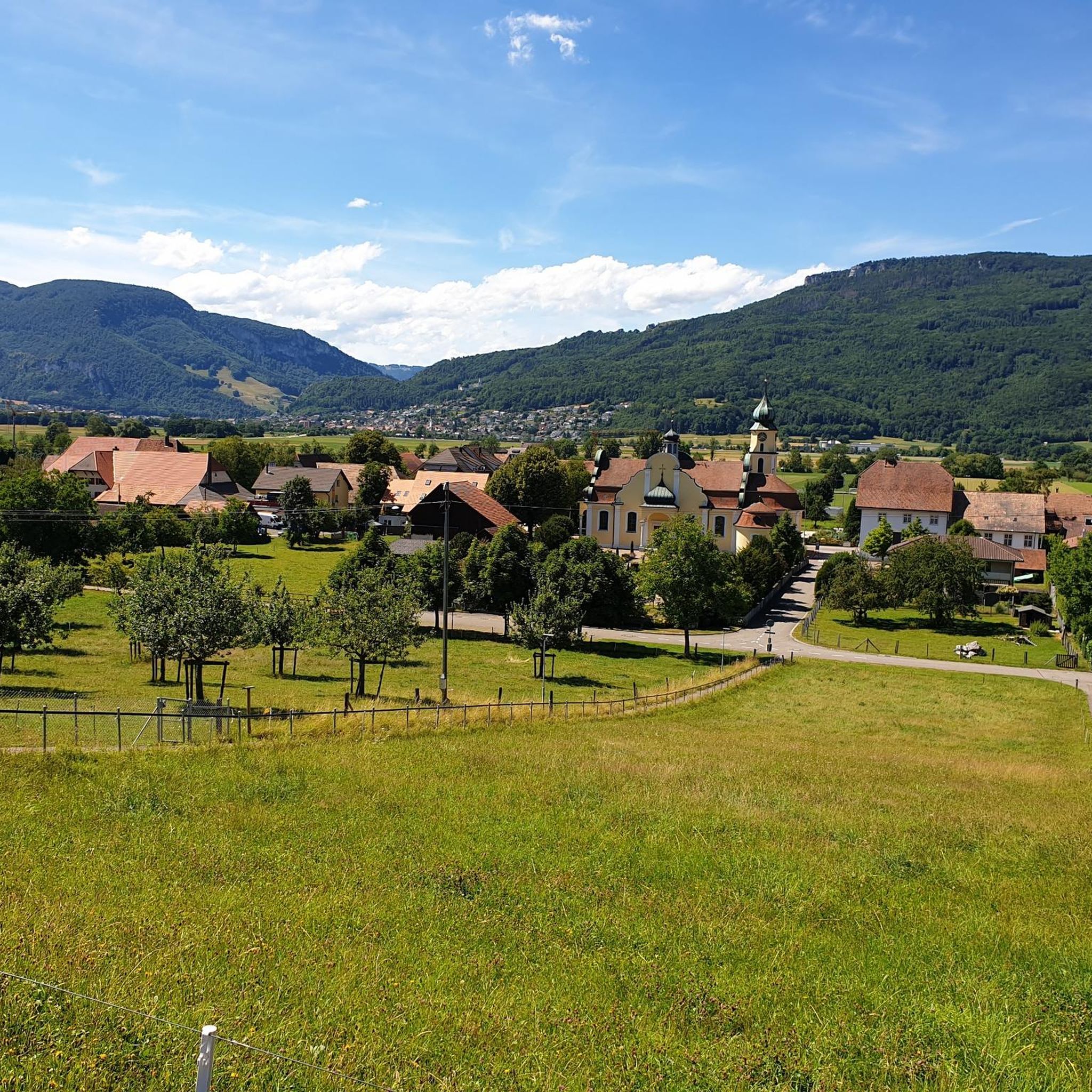
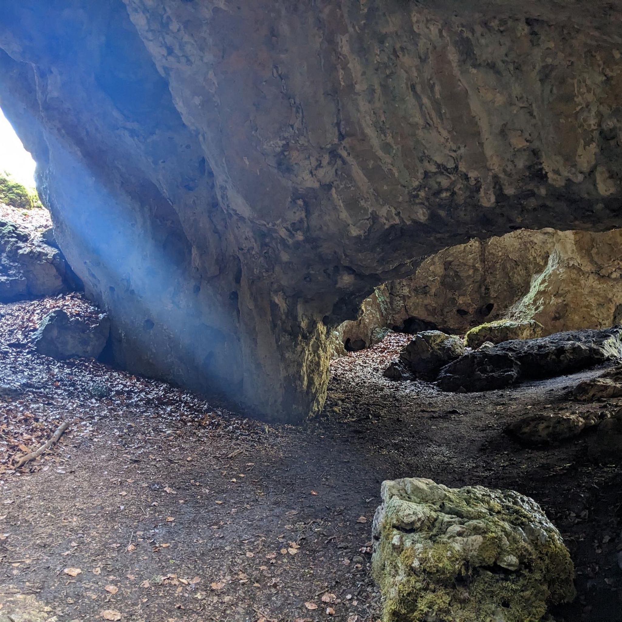
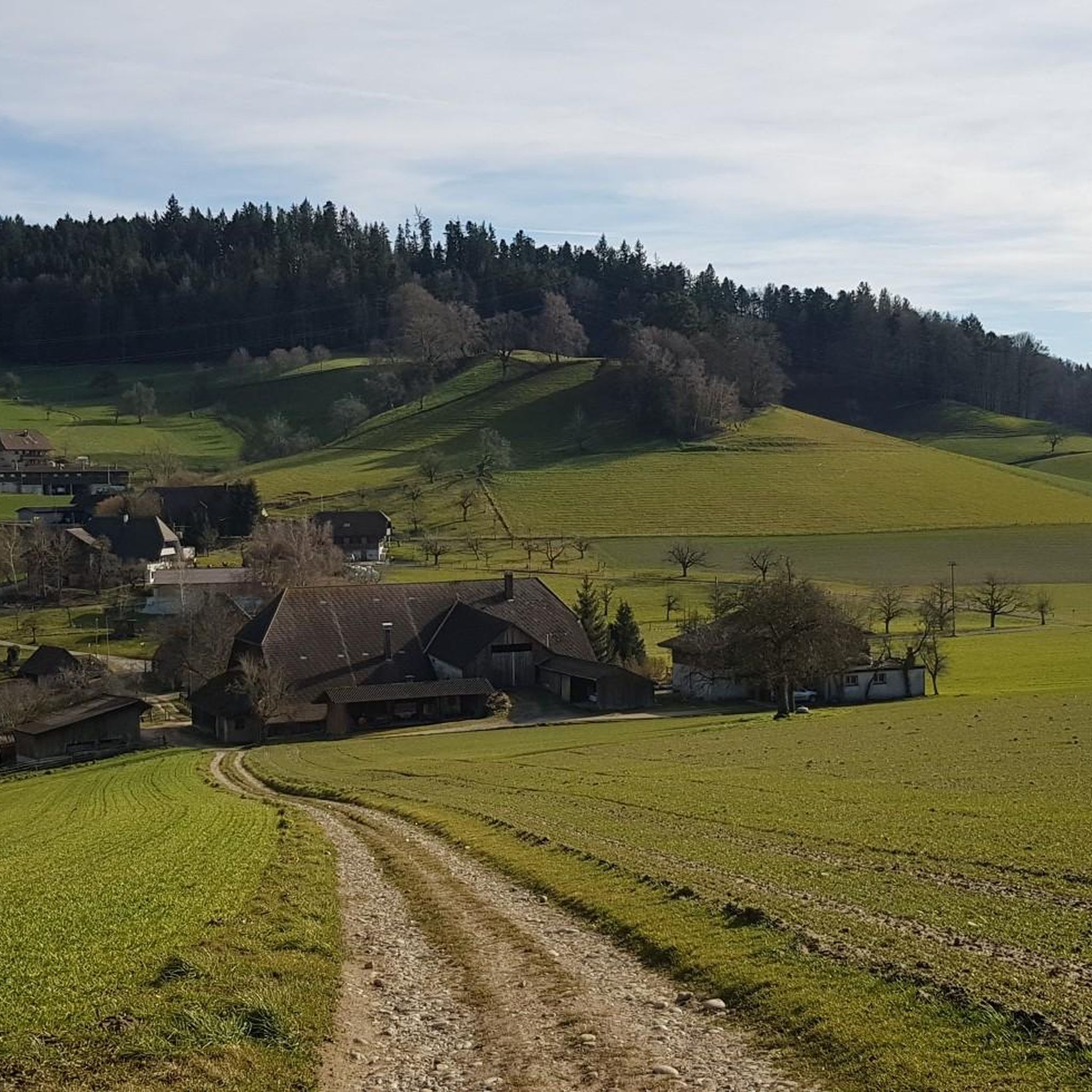
Tips from the Community

The Belchenflue, known locally as Bölche and also known as the Swiss Belchen to distinguish it from the mountain peaks of the same name in Germany and France, is a prominent mountain peak in the Swiss Jura. It is 1,099 m above sea level and lies about 7 km west of Olten. The border between the cantons of Basel-Landschaft and Solothurn runs across the rocky peak.
0
0

The inconspicuous chapel is the former choir of a former church. The historical wall and vault paintings inside are special.
1
0

The Roggen, one of my favorite mountains...with fantastic trails towards Balsthal or Oensingen.
0
0

Very nice place high above Önsingen with a good view over the Mittelland
1
0

Here is a little insight into the trail and its area: https://youtu.be/Dm81QFuCE1I
0
0

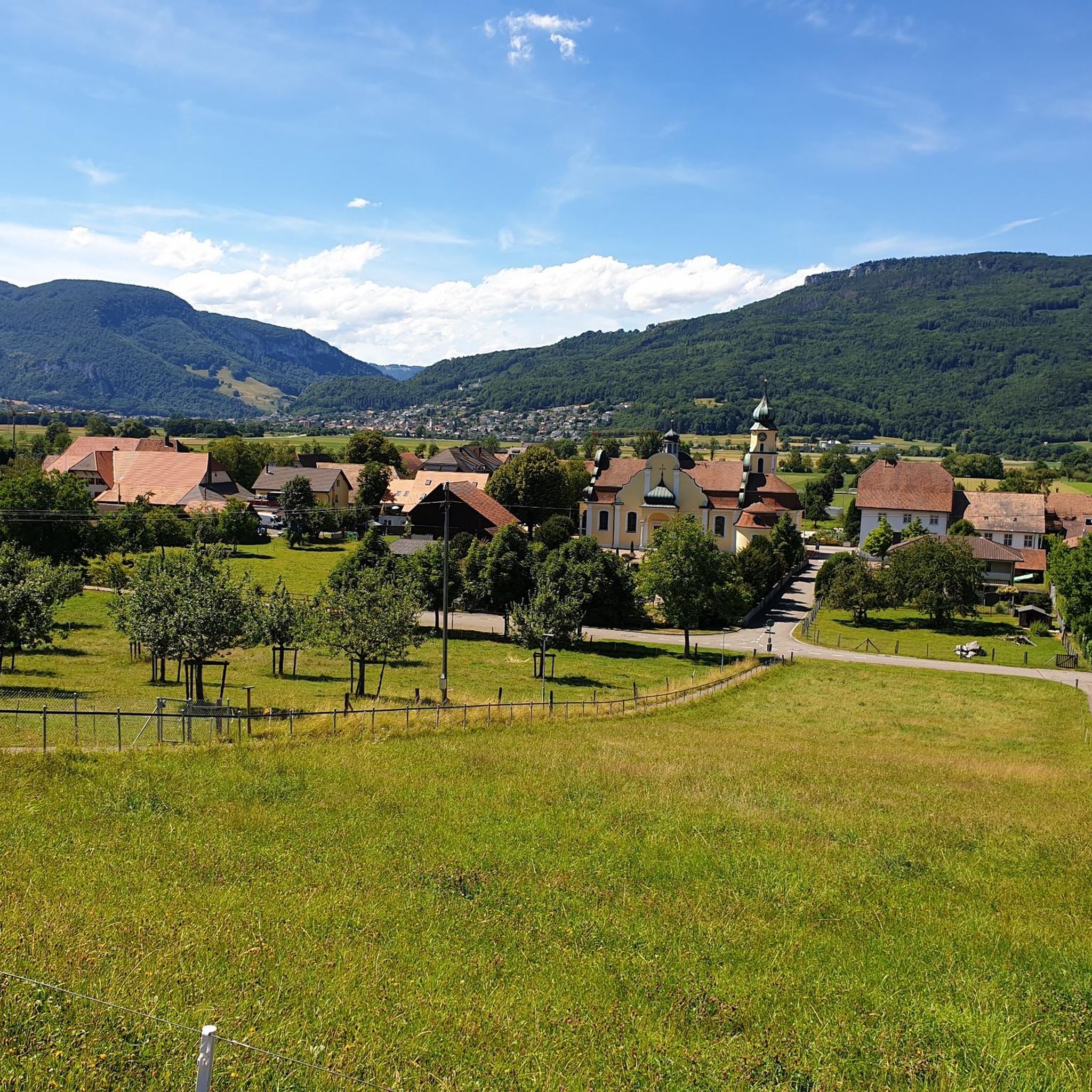
The former parish church of Kestenholz was first mentioned in 1311 in connection with the village name Oberkappel. According to unconfirmed sources, this settlement is said to have been devastated by the Guglers around 1375.
0
0

This view is simply great every time!
0
0

Wonderful view in a quiet and natural atmosphere
1
0
Frequently Asked Questions
How many running routes are available around Kestenholz?
There are over 425 running routes around Kestenholz, offering a wide variety of options for different fitness levels and preferences. The area is highly rated by the komoot community, with an average score of 4.5 stars from over 200 reviews.
What kind of terrain can I expect on the jogging trails in Kestenholz?
Jogging trails in Kestenholz feature diverse terrain, including peaceful forest paths, open agricultural fields, and routes along the Dünnern river. You'll find a mix of flat sections and moderate elevation changes, especially as you venture towards the nearby Jura mountains and the Regional Nature Park Thal.
Are there any family-friendly running routes in the Kestenholz area?
Yes, Kestenholz offers several routes suitable for families. Many of the paths through agricultural land and along the Dünnern river are relatively flat and easy. For a moderate option, consider the Running loop from Bezirk Gäu, which is 3.75 miles (6.0 km) and leads through open landscapes.
Can I bring my dog on the running trails around Kestenholz?
Many of the natural trails through forests and agricultural areas around Kestenholz are dog-friendly. It's always recommended to keep your dog on a leash, especially in nature reserves or near livestock, and to check local regulations for specific areas within the Regional Nature Park Thal.
Are there any circular running routes available?
Yes, Kestenholz and its surroundings offer numerous circular running routes. For example, the Forest Trail Near Bern loop from Bannwil is a moderate 5.49 miles (8.8 km) path that provides a pleasant run through forested areas with gentle gradients.
What are some notable landmarks or natural features I might see while running?
The region boasts several stunning natural features. You could encounter the picturesque Tüfels Gorge with its waterfalls and moss-covered rocks, or challenge yourself on trails leading to the Belchenflue Summit Viewpoint, which offers breathtaking panoramic views of the Swiss Jura mountains and beyond.
Are there challenging running routes for experienced runners?
Absolutely. For experienced runners seeking a challenge, routes with significant elevation gain are available, particularly towards the Jura mountains. The Café Knaus, Solothurn – Roggen Mountain Restaurant loop from Oensingen is a difficult 7.35 miles (11.8 km) trail featuring substantial ascents.
What is the best time of year to go running in Kestenholz?
Kestenholz is suitable for running year-round, but spring and autumn offer particularly pleasant conditions with mild temperatures and vibrant scenery. Summer mornings and evenings are ideal to avoid the heat, while winter running can be beautiful, especially on cleared paths, though some higher trails might be less accessible.
Is parking available near the running trailheads?
Yes, parking is generally available in and around Kestenholz, particularly near popular trailheads and village centers. Many routes, including those starting from Oensingen or Bannwil, have designated parking areas nearby, making access convenient for runners.
Can I access running routes in Kestenholz using public transport?
Kestenholz is well-connected by public transport, making many running routes accessible. Local bus services link the municipality to nearby towns and train stations, from where you can often find trails starting within walking distance. This allows for flexible planning of your runs, including point-to-point options.
Are there any shorter, easy running loops for beginners?
Yes, beginners can find several easy and shorter running loops. The routes through the agricultural areas and along the Dünnern river within Kestenholz itself often provide flat and accessible paths. A good option is the Running loop from Kestenholz, which is a moderate 3.54 miles (5.7 km) trail.
What do other runners say about jogging in Kestenholz?
The running experience in Kestenholz is highly praised by the komoot community, with an average rating of 4.5 stars. Reviewers often highlight the peaceful atmosphere of the forest trails, the scenic views across agricultural landscapes, and the variety of routes suitable for all levels, from gentle riverside jogs to challenging mountain ascents.
Most popular routes around Kestenholz
Most popular attractions around Kestenholz

Get inspired with the komoot mobile app


Explore more
Browse the best Running Trails & Routes in other regions.
