Easy hikes and walks around Campiña Alta
4.3
(505)
2,597
hikers
125
hikes
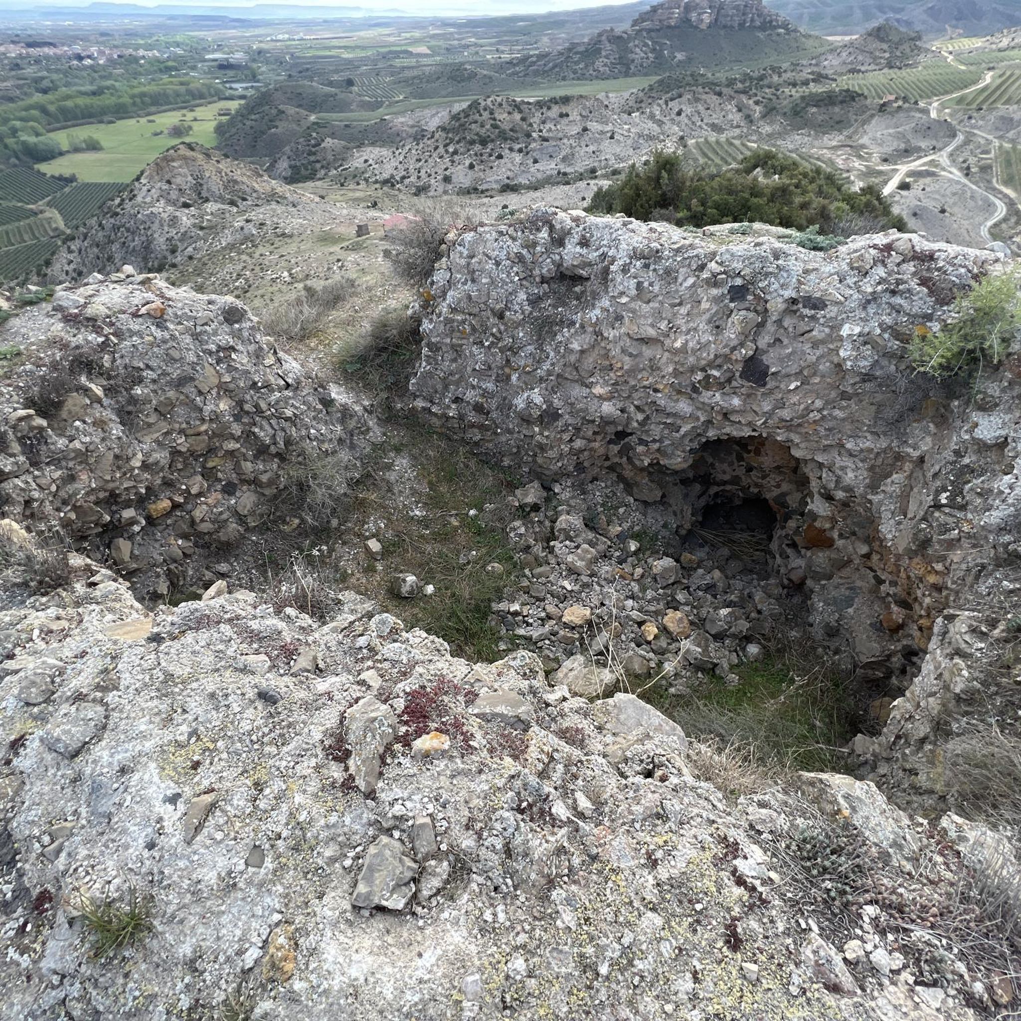
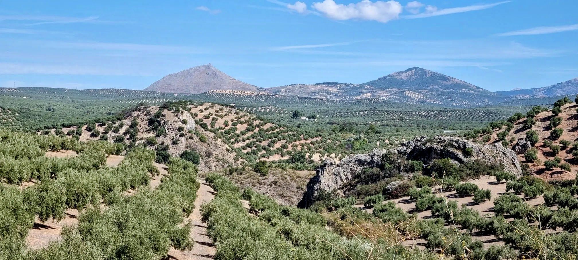
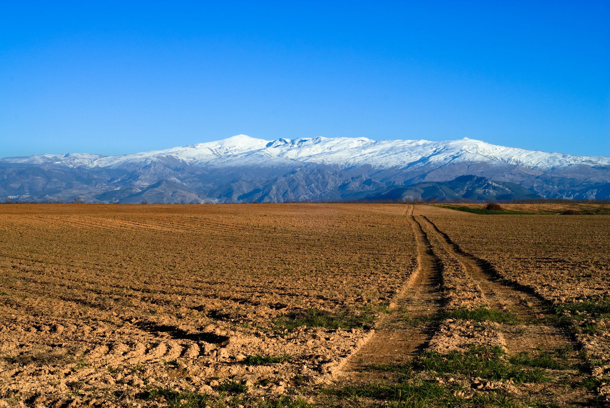
Easy hiking trails around Campiña Alta are characterized by fertile agricultural landscapes, including extensive olive groves and cereal fields. The region features gentle riverine scenery, often accompanied by riparian forests. Hikers can expect panoramic views across the cultivated plains and occasional limestone formations. The terrain generally consists of rolling hills and valleys, making it suitable for accessible walks.
Best easy hiking trails around Campiña Alta
- The most popular easy hiking route is Enrique Triano Trail, a 2.3 miles (3.7…
Last updated: October 10, 2026
4.5
(2)
20
hikers
3.66km
01:20
230m
230m
Easy hike. Great for any fitness level. Easily-accessible paths. Suitable for all skill levels.
Easy hike. Great for any fitness level. Easily-accessible paths. Suitable for all skill levels.

16
hikers
5.34km
01:24
50m
50m
Easy hike. Great for any fitness level. Easily-accessible paths. Suitable for all skill levels.
4.1
(7)
13
hikers
5.49km
01:38
180m
180m
Easy hike. Great for any fitness level. Easily-accessible paths. Suitable for all skill levels.
3.0
(2)
15
hikers
5.98km
01:34
50m
50m
Easy hike. Great for any fitness level. Easily-accessible paths. Suitable for all skill levels.
12
hikers
7.19km
01:55
80m
80m
Easy hike. Great for any fitness level. Easily-accessible paths. Suitable for all skill levels.
11
hikers
5.37km
01:24
40m
40m
Easy hike. Great for any fitness level. Easily-accessible paths. Suitable for all skill levels.
4.0
(5)
10
hikers
6.82km
01:49
70m
70m
Easy hike. Great for any fitness level. Easily-accessible paths. Suitable for all skill levels.
8
hikers
2.32km
00:58
200m
200m
Easy hike. Great for any fitness level. Easily-accessible paths. Suitable for all skill levels.
4
hikers
4.94km
01:17
40m
30m
Easy hike. Great for any fitness level. Easily-accessible paths. Suitable for all skill levels.
Get access to more routes and recommendations from other explorers.
Already have an account?
Our route recommendations are based on thousands of hikes, rides, and runs completed by other people on komoot.
Start today with a free account
Your next adventure awaits.
Popular around Campiña Alta

Other adventures around Campiña Alta


Tips from the Community

Very nice courtyard of the casino restaurant.
0
1

The visitor center has exhibits on the Geopark's geology and fauna and flora.
0
0

One of two trails that begin at the Santa Rita interpretation center. The botanical trail is easier, perfect for a family walk. The slope is low, the walk is very pleasant, among the thick vegetation of the area, and you can enjoy impressive specimens of gall oak. If you decide to only do the botanical trail, the route will be 2.5 km long.
2
0
A very charming place that allows you to enjoy the walk in tranquility and solitude, since it is not usually very crowded. The climb to the viewpoint is quite uneven, so if you want something quieter or you go with children, I recommend walking alone the botanical trail, which also begins in the Santa Rita parking lot. But if you feel like going up to the viewpoint, you will not be disappointed - the views of the Sierra Subbética are worth the effort, from this highest point of the Sierra de la Cabrera (1085 m) you can enjoy views of the most emblematic places of the natural park, such as the Lapiaz de los Lanchares, the Picacho de la Sierra de Cabra, the Cerro del Lobatejo, the “Buitreras” and the Sierra de Alcaide.
2
0
Laguna de Zóñar is a "Wetland of International Importance". It belongs to the Inventory of Protected Natural Areas of the Junta de Andalucía. It is the only natural lake in Andalusia, reaching a depth of 14 meters. It is the habitat of more than 30 species of birds, which we can observe walking through this unique place.
2
0
Architectural complex from the 18th century declared an Asset of Cultural Interest in 2006. The hospital now houses a nursing home. The hospital was founded at the express wish of Saint John of God (also known as John of the Sick, a Portuguese saint, nurse, and the founder of the Hospitaller Order of Saint John of God) for the care of the poor affected by contagious diseases.
2
0
Also known as the castle of Lucena. It is a Hispano-Muslim military fortress from the 11th century. Inside is the Archaeological and Ethnological Museum of Lucena.
2
0
This town is considered the gateway to the Sierras Subbéticas Natural Park. Its economy is mainly based on olive cultivation. Among the places of interest are: the castle, the Municipal Archaeological Museum, the Church of the Assumption and Angels.
2
0
Frequently Asked Questions
How many easy hiking trails are available in Campiña Alta?
There are 35 easy hiking trails around Campiña Alta, offering a variety of routes through its agricultural landscapes and riverine scenery.
What kind of scenery can I expect on easy hikes in Campiña Alta?
Easy hikes in Campiña Alta feature fertile agricultural landscapes, including extensive olive groves, sunflower fields, and cereal crops. You'll also find gentle riverine scenery, often accompanied by riparian forests, and panoramic views across the cultivated plains. Occasional limestone formations add to the natural beauty.
Are there any easy circular walks in Campiña Alta?
Yes, many easy routes in Campiña Alta are circular. For example, the Path of the Arroyo de las Cañas - circular from Palenciana (PR-A 8) is an easy 2.7-mile path with a gentle ascent, perfect for a round trip.
What are some popular easy trails in Campiña Alta?
Among the most popular easy trails are the Enrique Triano Trail, a 2.3-mile route, and the La Perdiz Stream Waterfall loop from Cabra, which is 3.4 miles long. These routes are highly rated by the komoot community.
Are there any waterfalls on the easy hiking trails?
Yes, you can find waterfalls on some easy trails. The La Perdiz Stream Waterfall loop from Cabra is a 3.4-mile trail that leads through varied landscapes and includes a waterfall.
What historical or natural landmarks can I see near the easy hiking routes?
You can explore several interesting landmarks. Consider visiting the Doña Mencía Station, the natural monument of Fuente del Río, or the unique Poljé of the Nava de Cabra. For historical sites, the region also features castles like Baena Castle.
Is Campiña Alta suitable for family-friendly easy walks?
Absolutely. The gentle terrain, rolling hills, and numerous easy trails make Campiña Alta ideal for family-friendly walks. Routes like the Path of the Arroyo de las Cañas are particularly suitable for all ages.
What is the best time of year for easy hikes in Campiña Alta?
The region is especially beautiful in spring when the agricultural fields burst into a kaleidoscope of colors. Autumn also offers pleasant temperatures and scenic views. While summer can be warm, early mornings or late afternoons are still suitable for easy walks.
What do other hikers say about the easy trails in Campiña Alta?
The easy trails in Campiña Alta are highly rated by the komoot community, with an average score of 4.5 stars from over 100 reviews. Hikers often praise the serene agricultural landscapes, gentle river valleys, and the overall accessibility of the routes.
Are there any easy trails that pass through towns or villages with amenities?
Many routes in Campiña Alta are close to or pass through charming towns and villages. For instance, the Cabra – Cabra Town Center loop from Cabra offers an easy walk that connects directly to the town center, where you can find cafes and other amenities.
How long do easy hikes in Campiña Alta typically take?
Easy hikes in Campiña Alta vary in length and duration. Shorter routes, like the Enrique Triano Trail (2.3 miles), can be completed in about 1 hour 20 minutes, while slightly longer ones, such as the La Perdiz Stream Waterfall loop from Cabra (3.4 miles), might take around 1 hour 38 minutes.
Can I find easy trails with minimal elevation gain?
Yes, Campiña Alta offers several easy trails with very gentle elevation changes. For example, the Montones loop from Cabra has an elevation gain of only about 40 meters, making it a very accessible option for those seeking minimal ascent.
Most popular routes around Campiña Alta
Most popular attractions around Campiña Alta

Get inspired with the komoot mobile app


Didn’t find what you were looking for?
Check out more Hikes throughout Campiña Alta below and find the perfect route in your destination.
Explore more
Browse the best Hikes in other regions.
