The best road cycling routes around Campiña Alta
4.6
(52)
5,625
riders
411
rides
Road cycling routes around Campiña Alta traverse diverse landscapes, characterized by varied terrain suitable for different fitness levels. The region features mostly paved, undulating roads, with some segments offering significant elevation changes. Cyclists can experience scenic paths through areas like the Meseta de la Alcarria, alongside opportunities to discover cultural sights. This combination of infrastructure and natural environment makes it a destination for road cycling.
Best road cycling routes around Campiña Alta
- The most popular road cycling route is Sierras…
Last updated: October 10, 2026
73
riders
78.1km
04:11
1,490m
1,490m
This difficult 48.6-mile road cycling route from Cabra in Parque Natural Sierras Subbeticas offers dramatic scenery and challenging climbs.
20
riders
52.2km
02:23
580m
590m
This moderate 32.4-mile road cycling route from Puente Genil explores the Andalusian countryside, featuring olive groves and river views.

15
riders
59.8km
02:59
890m
890m
This moderate 37.2-mile road cycling route from Baena explores Andalusian olive groves, historic viaducts, and Alcaudete Castle views.
9
riders
84.8km
03:53
1,030m
1,030m
Hard road ride. Very good fitness required. Some segments of this route may be unpaved and difficult to ride.
10
riders
52.7km
02:32
650m
650m
This moderate 32.8-mile road cycling route from Aguilar de la Frontera connects Monturque and Montilla, winding through vineyards and olive
8
riders
35.9km
02:08
810m
810m
Cycle a moderate 22.3-mile loop through olive groves and historic railway lines, climbing to the Cueva de los Murciélagos.
7
riders
107km
05:43
2,100m
2,100m
This difficult 66.4-mile road cycling route in Parque Natural Sierras Subbéticas offers 6899 feet of climbing and panoramic views.
8
riders
54.2km
04:03
910m
910m
Hard road ride. Very good fitness required. Some segments of this route may be unpaved and difficult to ride.
2
riders
87.5km
04:10
820m
830m
This moderate 54.4-mile road cycling route from Lucena explores Andalusia's olive groves and historic sites like Castillo del Moral.
2
riders
79.2km
03:48
1,060m
1,060m
A difficult 49.2-mile (79.2 km) road cycling route around Porcuna and Baena, featuring historical landmarks and significant elevation gain.
Get access to more routes and recommendations from other explorers.
Already have an account?
Our route recommendations are based on thousands of hikes, rides, and runs completed by other people on komoot.
Start today with a free account
Your next adventure awaits.
Popular around Campiña Alta
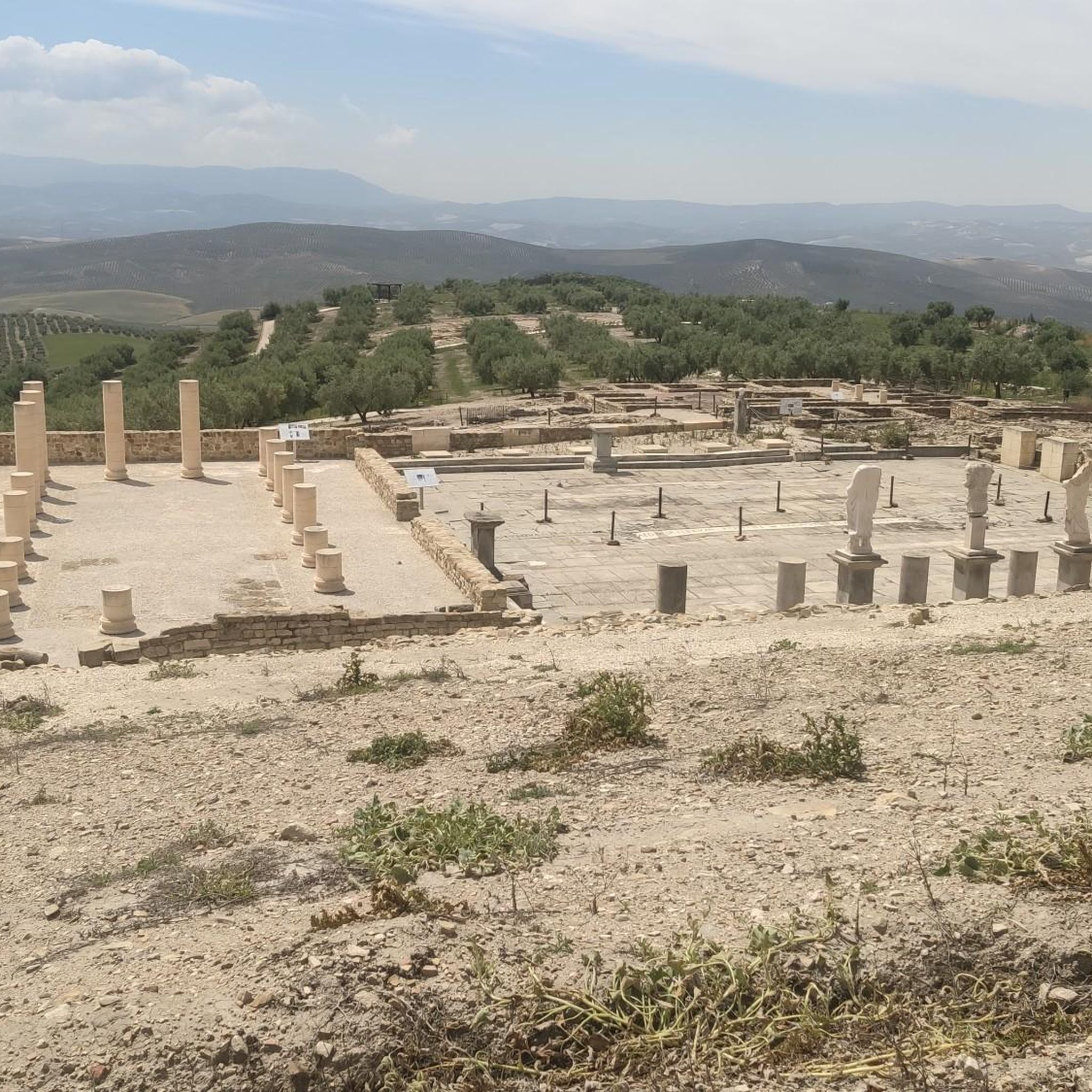
Road Cycling Routes around Baena
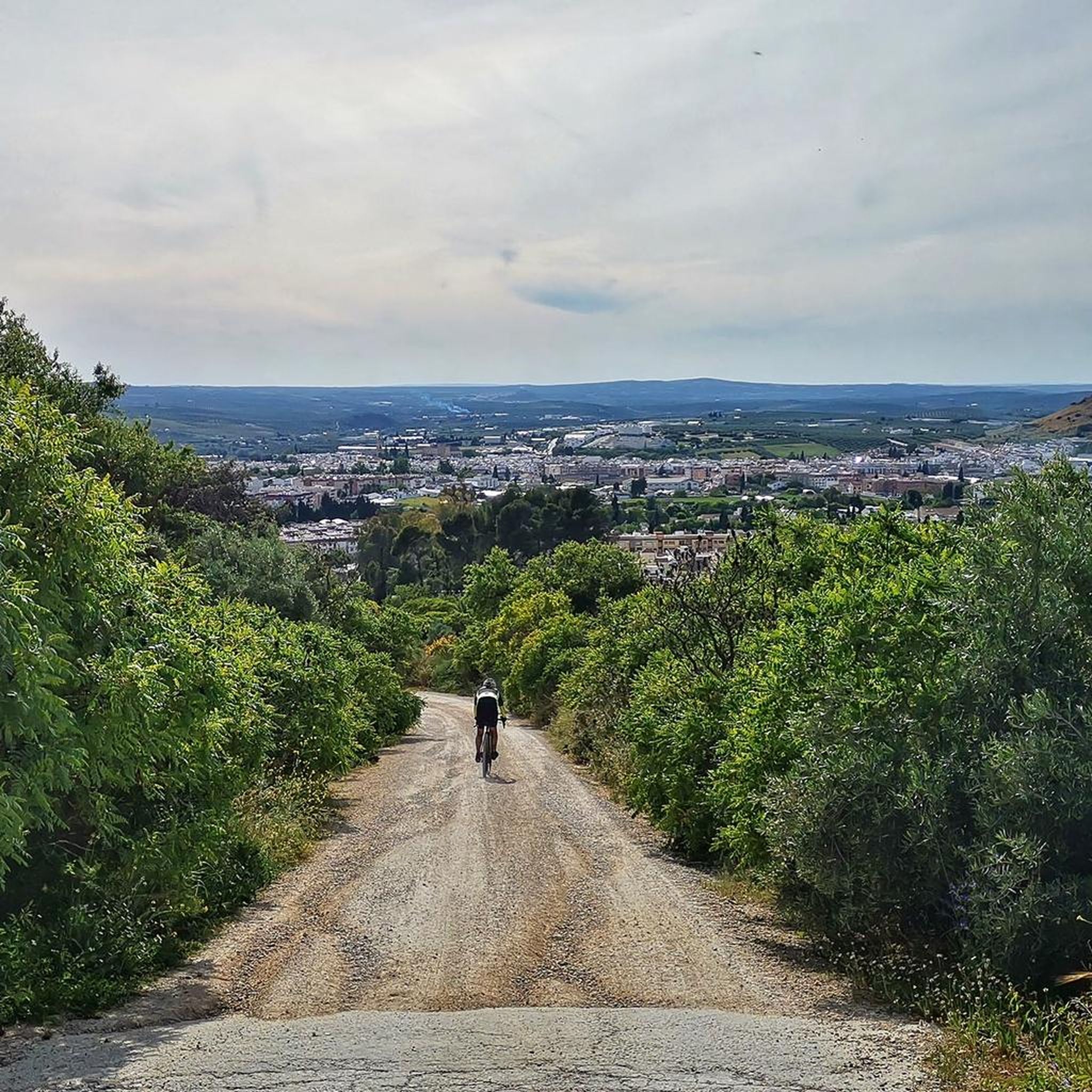
Road Cycling Routes around Cabra
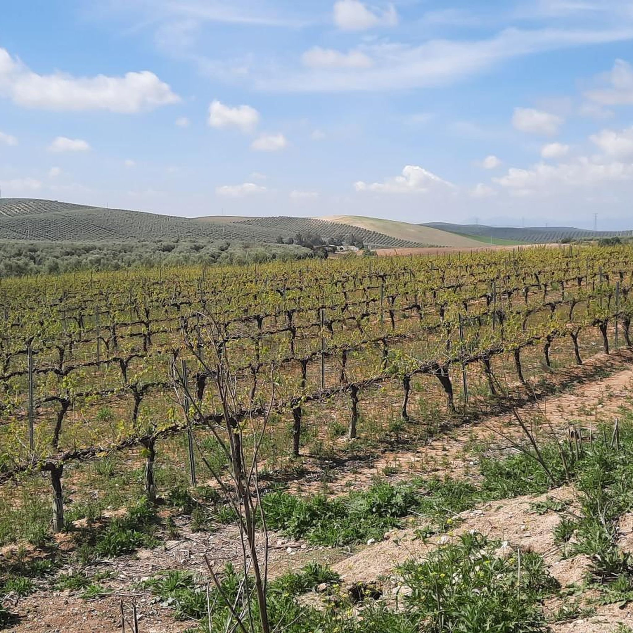
Road Cycling Routes around Lucena
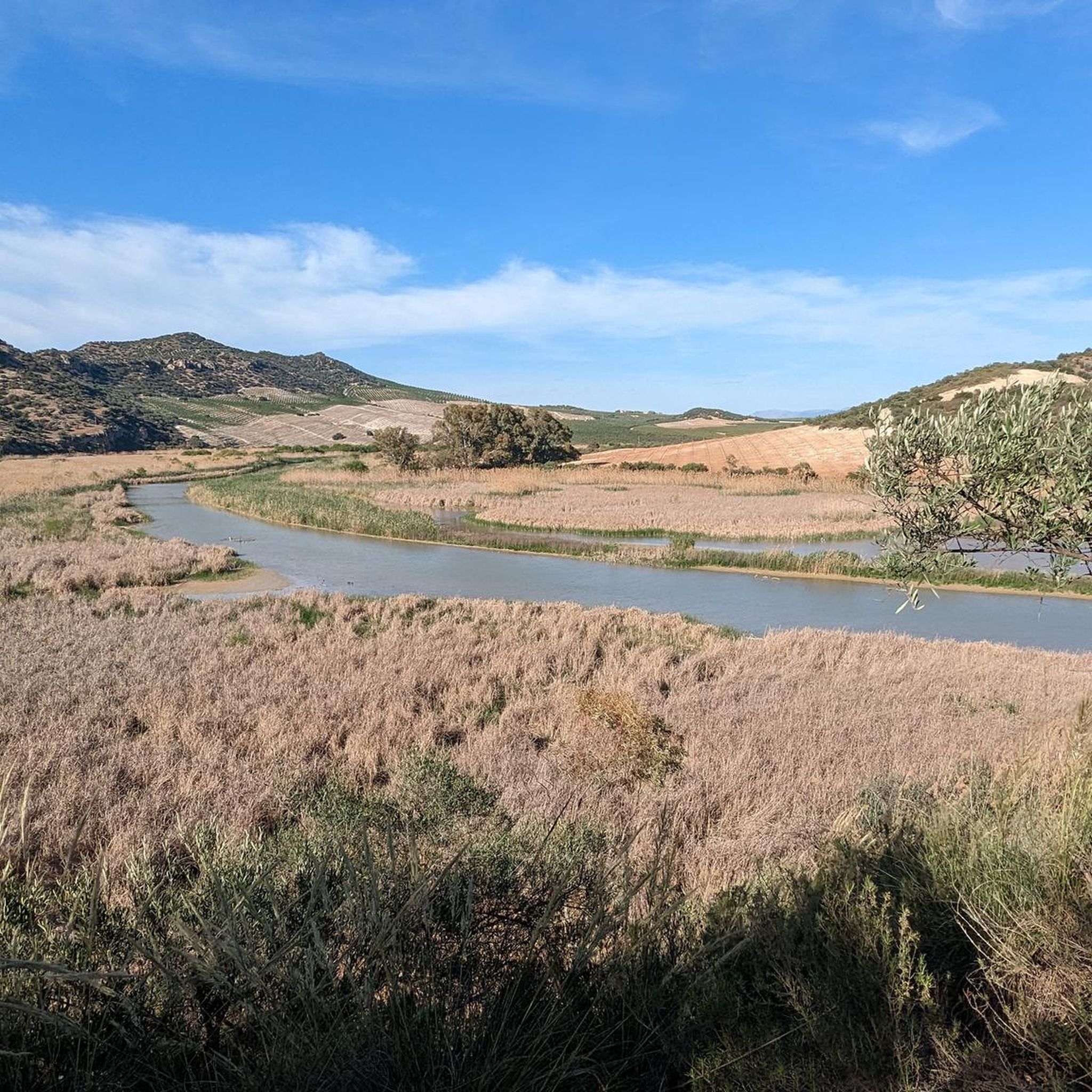
Road Cycling Routes around Puente Genil
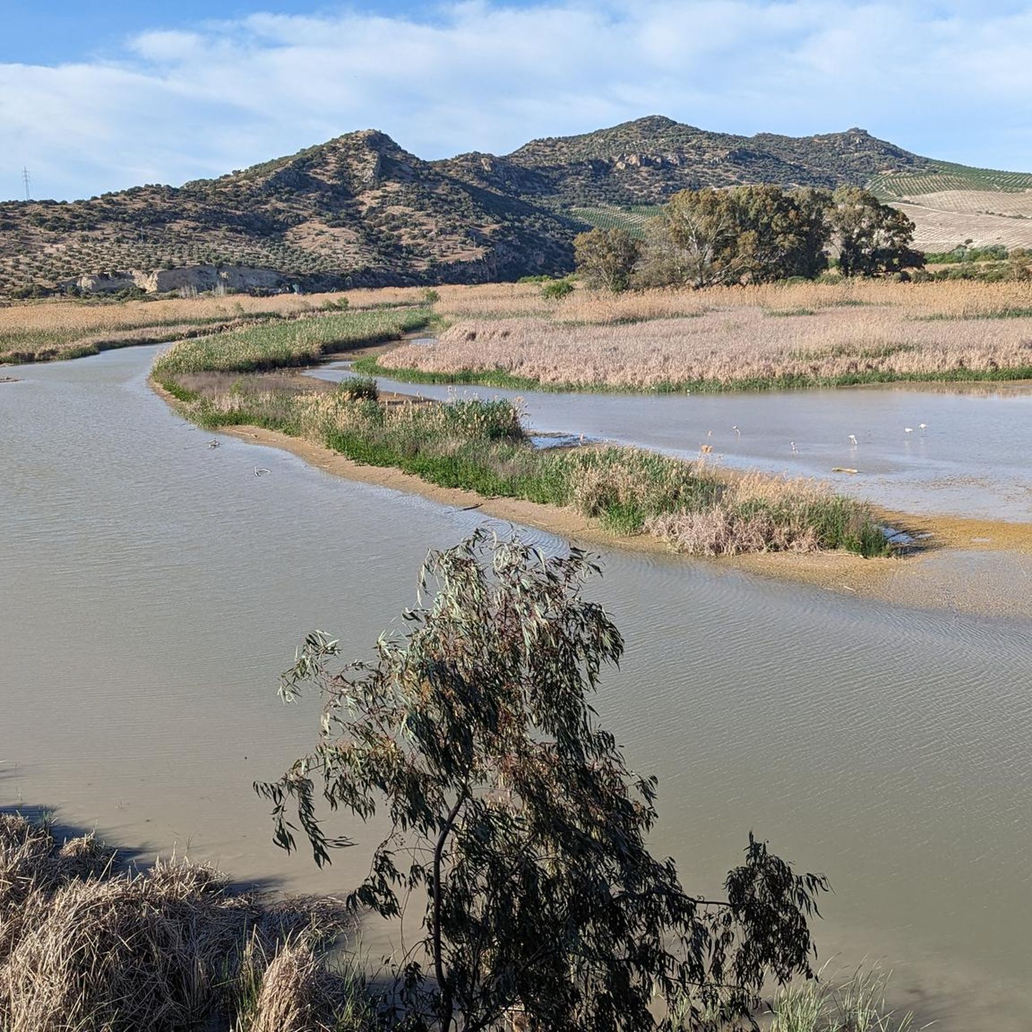
Road Cycling Routes in Embalse De Cordobilla
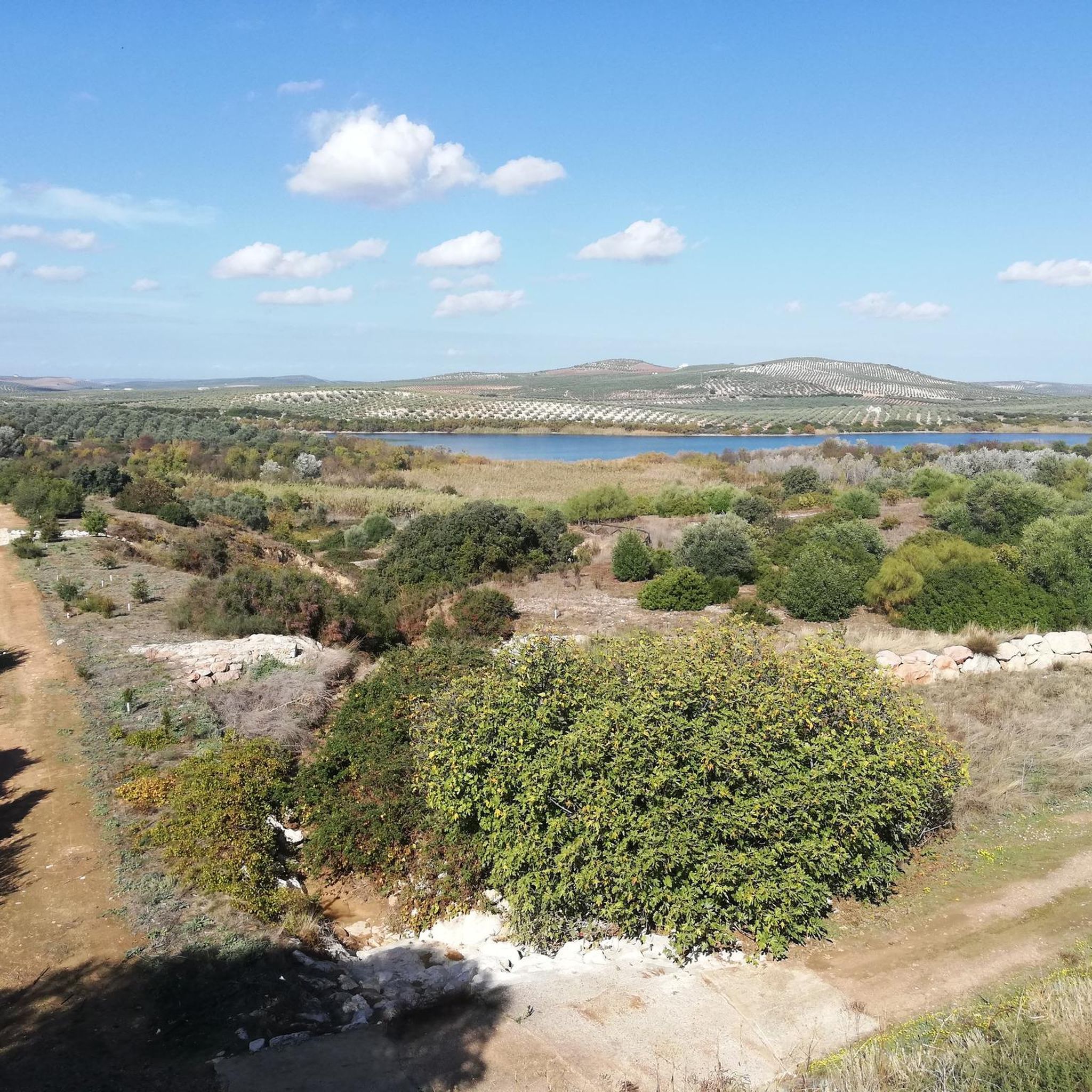
Road Cycling Routes around Aguilar De La Frontera
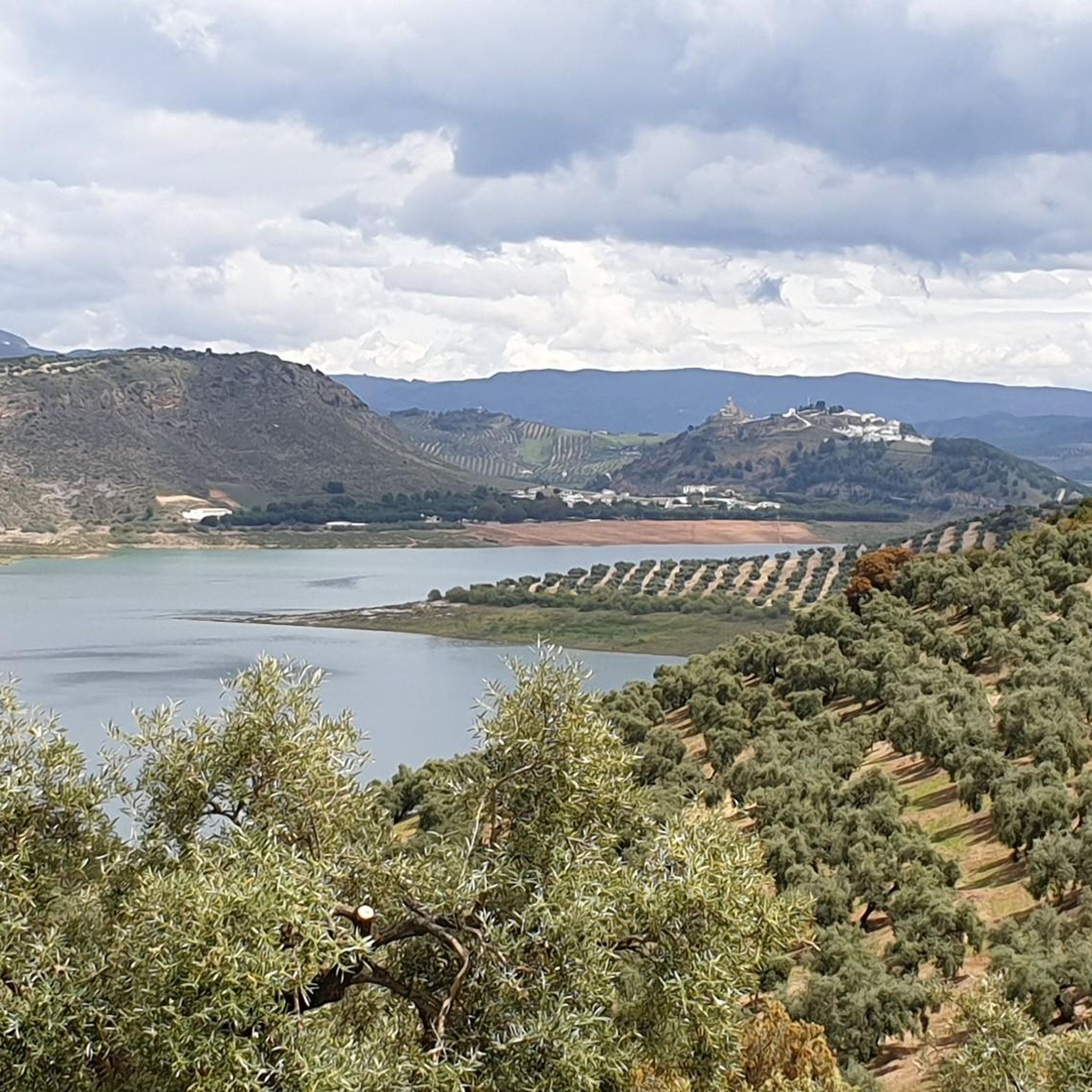
Road Cycling Routes around Encinas Reales
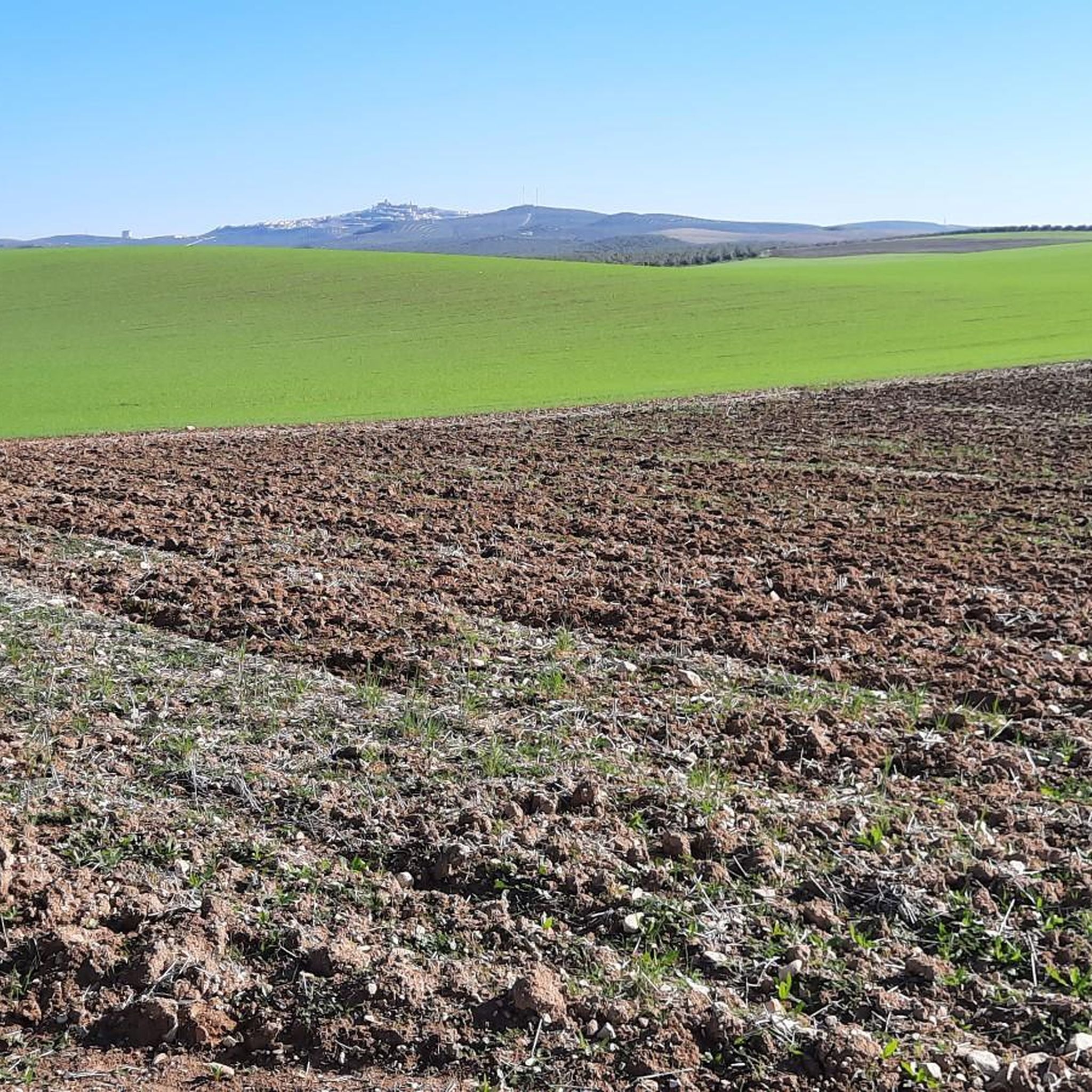
Road Cycling Routes around Montemayor
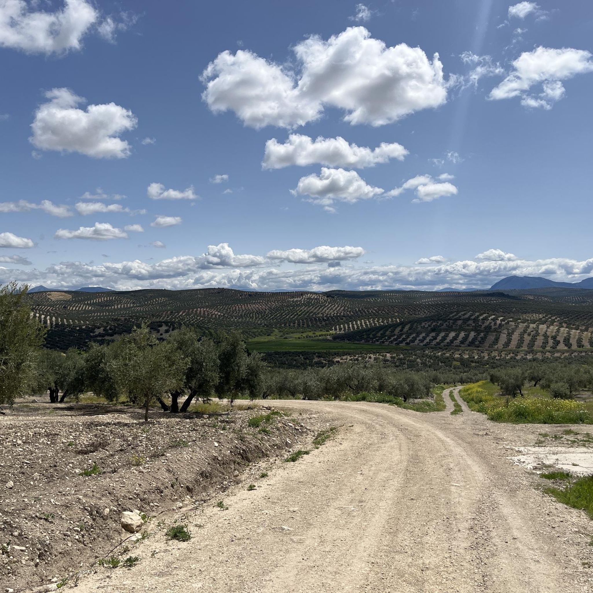
Road Cycling Routes around Valenzuela
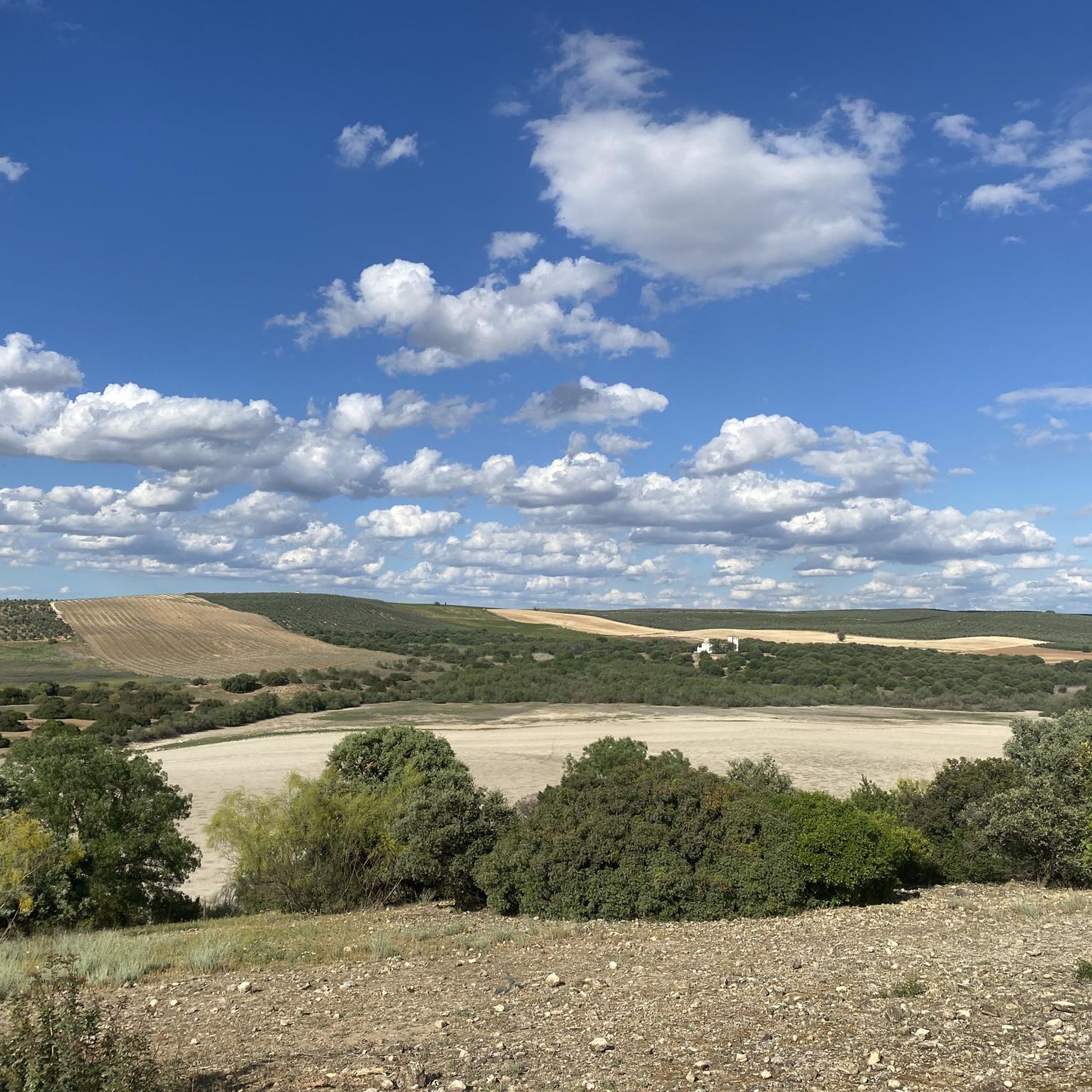
Road Cycling Routes in Lagunas Del Sur De Cordoba
Other adventures around Campiña Alta


Tips from the Community


Aguilar de la Frontera [2] is a Spanish municipality in the southwest of the province of Córdoba, in the autonomous community of Andalusia. The municipality is located in the region of Campiña Sur Cordobesa [3] and is the seat of the judicial district of the same name. [4] It lies at an altitude of 280 m above sea level [5] and about 47 km from the provincial capital, Córdoba. [6] In 2017, it had 13,476 inhabitants and a population density of 82.01 inhabitants/km². [7]
0
0

The Fuente del Río in Cabra, is a picturesque natural park considered the origin of the Río Cabra. The park combines the natural beauty of a karst spring with landscaped gardens and a diverse tree landscape. It was declared a “Sitio de Interés Natural” in 1929 and today offers recreational areas and picnic areas for visitors. The spring rises at the foot of the Sierra de Cabra, an area with high rainfall and calcareous rock that leads to the formation of such karst springs. The water flows through a series of waterfalls and artificial springs and supplies the entire municipality. The Fuente del Río is part of the “Ruta del Agua” in the Subbética Cordobesa and offers a harmonious interplay of nature and human design. The park is a popular place for locals and visitors who want to enjoy the tranquility and beauty of this unique place. A visit to the Fuente del Río offers the opportunity to experience the natural beauty of the region and explore the origins of the Río Cabra.
3
0

The viewpoint gives you impressive views of the canyon formed by the Bailón River and the town of Zuheros.
1
0

A natural area where the Cabra River is born. A natural spring surrounded by vegetation that transmits peace and tranquility. Highly recommended for a break on the route.
1
0

Beautiful views of the Malpasillo Reservoir and you can also see the continuity of the Río Genil!
0
0
A population center located between the Ríos Genil and Ríos de Anzuro, where it is located on a small ridge on both sides of the river. The center is small with a spectacular Iglesia Parroquial de la Expectación.
0
1
At the top of the Sierra de Cabra we find the Ermita de Nuestra Señora de la Sierra with impressive views of the entire Sierra Subbéticas y de Cabra Natural Park. With a demanding path but worth saving those meters to get to the top!
0
0
Frequently Asked Questions
How many road cycling routes are available in Campiña Alta?
Campiña Alta offers a wide selection of road cycling routes, with over 370 tours available. These routes cater to various skill levels, from moderate rides to challenging climbs.
What kind of terrain can I expect on road cycling routes in Campiña Alta?
The region features diverse terrain, primarily characterized by mostly paved, undulating roads. Some segments include significant elevation changes, offering challenging climbs. You'll experience scenic paths through areas like the Meseta de la Alcarria, providing varied landscapes throughout your ride.
Are there road cycling routes suitable for beginners or those looking for an easier ride?
Yes, Campiña Alta has options for all abilities. While many routes are moderate or difficult, there are 9 routes specifically categorized as easy. For a moderate circular journey through local towns and countryside, consider the Casariche and Badolatosa — circular from route.
What are some popular longer road cycling routes in the area?
For those seeking longer rides, Campiña Alta offers several options. The Sierras Subbéticas Natural Park Loop from Cabra is a challenging 78.1 km route exploring the natural park's varied topography. Another option is the 84.8 km Name from Lucena — circular through Rute, which also presents a difficult challenge.
What is the best time of year for road cycling in Campiña Alta?
The region benefits from a gentle climate, making it comfortable for cycling for a considerable part of the year. Specialized cycling camps are even offered from November to March, suggesting these cooler months are particularly favorable. Spring and autumn also provide pleasant conditions for exploring the routes.
What natural features or attractions can I see along the road cycling routes?
Road cycling in Campiña Alta allows you to discover a variety of natural and cultural sights. You might encounter natural monuments like Fuente del Río or the Poljé of the Nava de Cabra. Routes like the Vadomojón Reservoir Loop from Baena lead through scenic reservoir landscapes.
Are there any cultural sights or landmarks to explore while cycling?
Absolutely. Many routes in Campiña Alta offer opportunities to discover cultural sights. For instance, the Montilla-Moriles Wine Route Loop combines cycling with a regional cultural experience. You can also find historical sites like the Roman Quarry or religious buildings such as the Hermitage of Our Lady of the Sierra near some routes.
What do other road cyclists enjoy most about Campiña Alta?
The komoot community highly rates road cycling in Campiña Alta, with an average score of 4.4 stars from over 30 reviews. Cyclists often praise the diverse landscapes, the mix of undulating roads and challenging climbs, and the opportunity to combine physical activity with cultural discovery.
Are there any circular road cycling routes in Campiña Alta?
Yes, many of the routes in Campiña Alta are circular, offering convenient starting and ending points. Examples include the Casariche and Badolatosa — circular from, the Vadomojón Reservoir Loop from Baena, and the Lucena, Aguilar de la Frontera, and Puente Genil Loop.
Can I find routes that pass by significant viewpoints?
Yes, the region's diverse terrain often leads to scenic vistas. For instance, the Ascent to the Lomas is a specific viewpoint that can be incorporated into rides. The general landscape of areas like the Meseta de la Alcarria also provides expansive views.
Are there any routes that explore natural parks?
Yes, the Sierras Subbéticas Natural Park Loop from Cabra is a prominent route that takes you through the varied topography of a natural park, offering a challenging and scenic experience.
What are some challenging road cycling routes for experienced riders?
Experienced cyclists will find plenty of challenging routes in Campiña Alta. The Sierras Subbéticas Natural Park Loop from Cabra (78.1 km with 1488m elevation gain) and the Baena and Porcuna Castles Loop (79.2 km with 1062m elevation gain) are both rated as difficult and offer significant climbs.
Most popular routes around Campiña Alta
Most popular attractions around Campiña Alta

Get inspired with the komoot mobile app


Didn’t find what you were looking for?
Check out more Road cycling routes throughout Campiña Alta below and find the perfect route in your destination.
Explore more
Browse the best Road cycling routes in other regions.
