Easy hikes and walks around Campiña
4.5
(463)
3,026
hikers
288
hikes
Easy hiking trails around Campiña traverse a landscape characterized by fertile, undulating countryside and agricultural fields. This region features a mix of natural elements, including riparian poplar forests along rivers and areas with Mediterranean vegetation like holm oaks and mastic trees. Hikers can also find pine forests and limestone cliffs, particularly in areas near Madrid/Guadalajara. The terrain generally offers accessible routes, often following old railway lines or paths through cultivated lands.
Best easy hiking trails around Campiña
- The most popular…
Last updated: August 17, 2026
4.0
(4)
14
hikers
6.52km
01:48
110m
110m
Easy hike. Great for any fitness level. Easily-accessible paths. Suitable for all skill levels.
4.3
(6)
20
hikers
5.71km
01:34
100m
100m
Easy hike. Great for any fitness level. Easily-accessible paths. Suitable for all skill levels.

Sign up for free
4.5
(4)
14
hikers
8.30km
01:52
170m
170m
Enjoy an easy 5.2-mile hike from Torres de Alameda, featuring scenic views of Cerro de Monte Alto and Pico del Búho and cultural landmarks.
9
hikers
6.61km
01:45
60m
70m
Easy hike. Great for any fitness level. Easily-accessible paths. Suitable for all skill levels.
5.0
(1)
3
hikers
6.62km
01:48
100m
100m
Easy hike. Great for any fitness level. Easily-accessible paths. Suitable for all skill levels.
5.0
(1)
29
hikers
5.89km
01:39
110m
110m
Easy hike. Great for any fitness level. Easily-accessible paths. Suitable for all skill levels.
4.5
(6)
29
hikers
Easy hike. Great for any fitness level. Easily-accessible paths. Suitable for all skill levels.
4.3
(3)
30
hikers
Easy hike. Great for any fitness level. Easily-accessible paths. Suitable for all skill levels.
5.0
(4)
22
hikers
Easy hike. Great for any fitness level. Easily-accessible paths. Suitable for all skill levels.
4.4
(9)
37
hikers
Easy hike. Great for any fitness level. Easily-accessible paths. Suitable for all skill levels.
Get access to more routes and recommendations from other explorers.
Sign up for free
Already have an account?
Our route recommendations are based on thousands of hikes, rides, and runs completed by other people on komoot.
Start today with a free account
Your next adventure awaits.
Login or Signup
Popular around Campiña

Easy hikes in Parque Natural Los Cerros
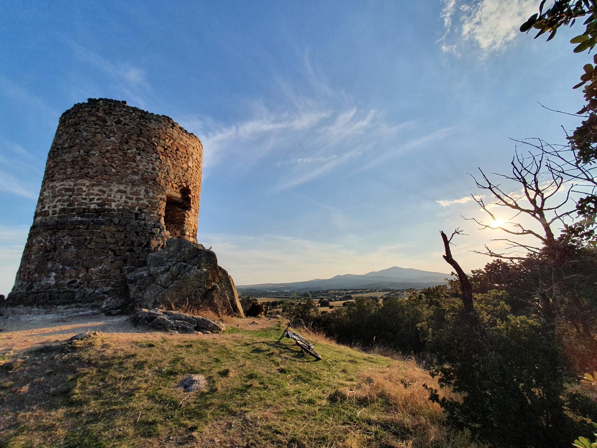
Along the paths of Marca Media — Route of the watchtowers of Madrid
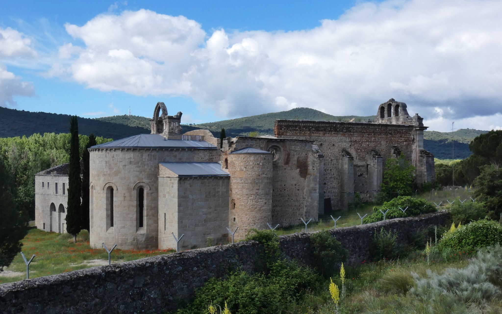
Madrid’s mediaeval castles and hidden gems by gravel bike
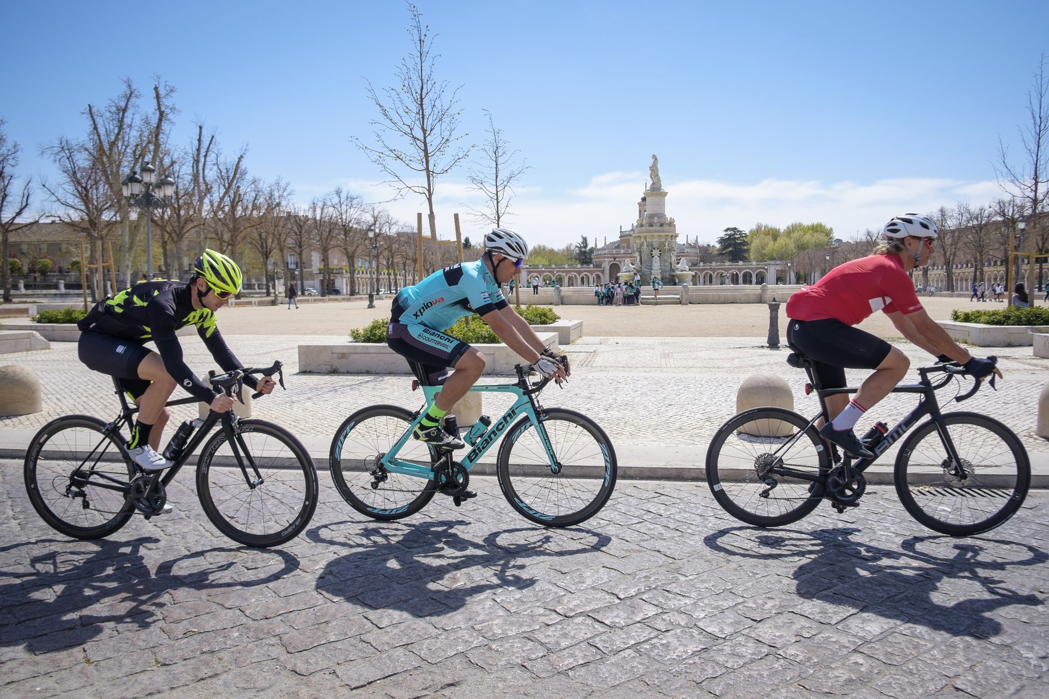
Ports, countryside and rivers – Tour of Madrid by road bike
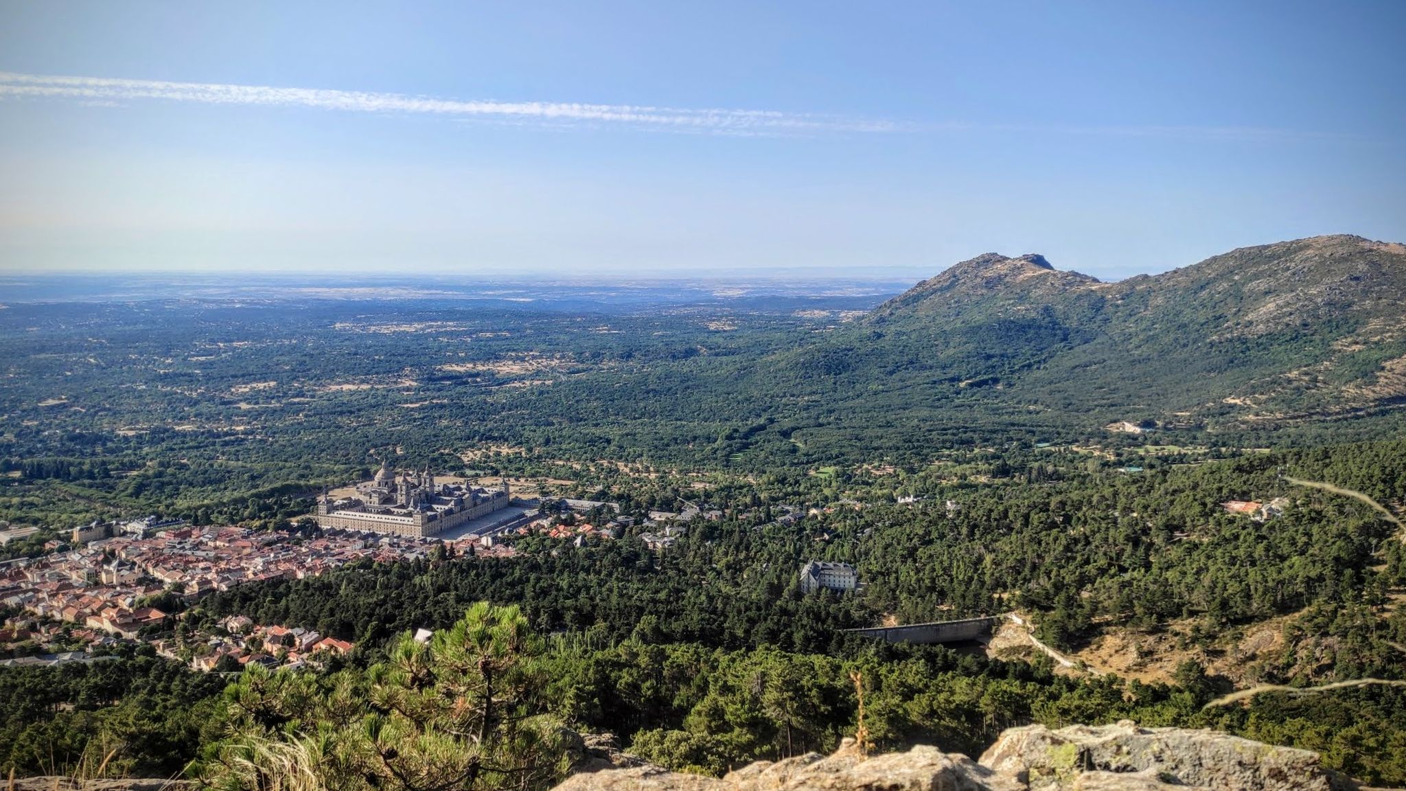
Sierras, countryside, reservoirs and history – Tour of Madrid gravel
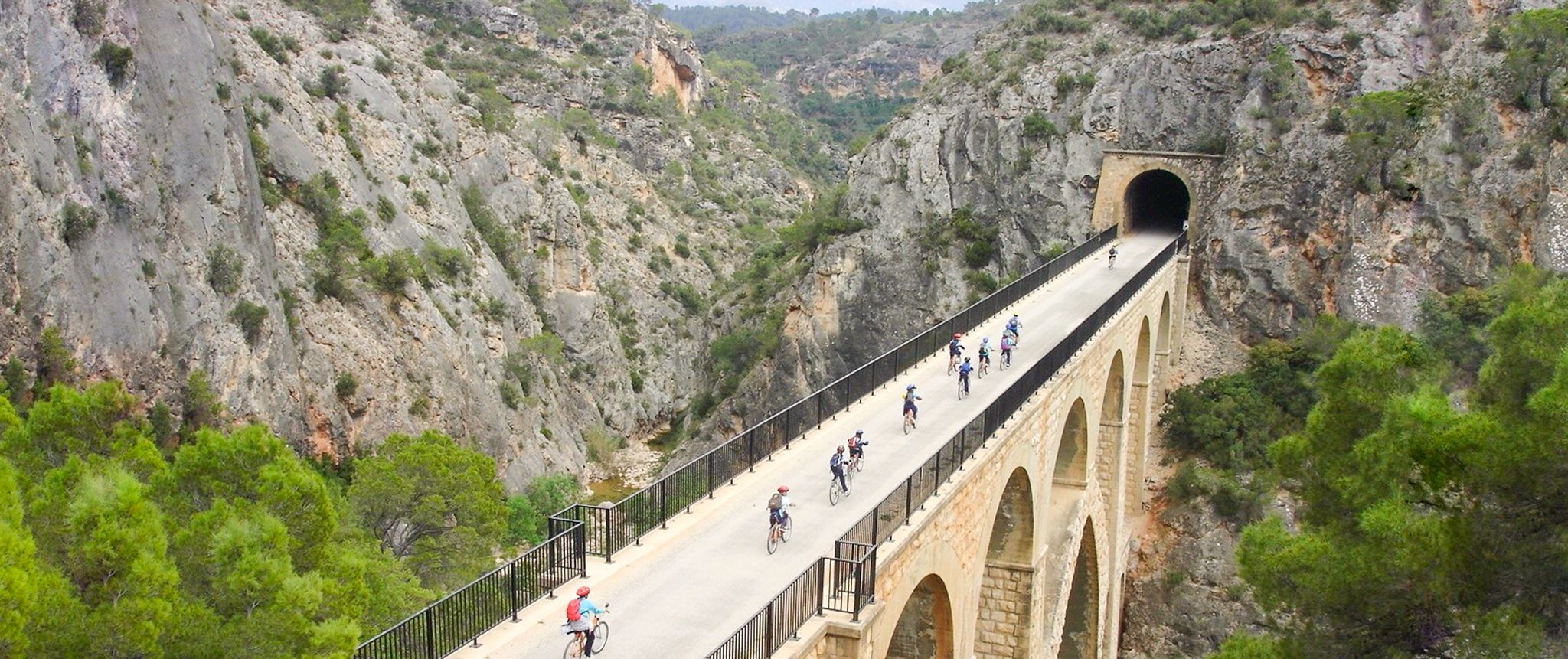
Vías Verdes – traffic-free cycling along railway history in Spain
Other adventures around Campiña


Tips from the Community

August 2025 under construction
0
0

excellent 👌
0
0

ideal place for lunch benches, shade and
1
0

The viewpoint is on the edge of the moor, above the slopes of oaks and holm oaks of the Val stream, and has beautiful views of the slopes of the valley and the white hamlet of Olmeda de las Fuentes.
0
0
The unique urban style of Nuevo Baztán maintains the original Baroque model from the beginning of the 18th century, designed by José de Churriguera by order of Juan de Goyeneche, who had permission from Charles II to build glass, paper and textile factories on Spanish territory. The Navarrese businessman was originally from Arizkun, in the Baztán Valley, but spent time in Madrid because he had other properties and professional relations with the Court. He chose the site of Madrid's Alcarria to found an industrial and rural centre in honour of his homeland and commissioned the Madrid architect to build a glass factory, a farming village of half a thousand inhabitants, a palace, a monumental church and gardens with centuries-old pines and elms. The town preserves cobbled streets, stone squares, rural buildings from the time of its foundation, between 1709 and 1713, and palace gardens, a beautiful heritage complex declared a Historic-Artistic Monument in 1941 and a Site of Cultural Interest in 2000.
0
0
The Mirador de Peña Bermeja is a fantastic viewpoint from which to contemplate beautiful sunsets over the endless plain of the Henares River valley and the horizon of the Guadarrama mountain range.
0
0

THE San Juan del Viso hill watches over its entire surroundings from above, especially towards Alcalá de Henares and Madrid.
0
0
pass slowly or you'll miss it
0
0
Frequently Asked Questions
How many easy hiking trails are available in Campiña?
There are over 110 easy hiking trails in the Campiña region, offering a wide variety of landscapes from undulating countryside to riparian forests. In total, komoot lists over 230 routes across all difficulty levels.
What kind of terrain can I expect on easy hikes in Campiña?
Easy hikes in Campiña typically feature undulating countryside, agricultural fields, and riparian poplar forests along rivers. You'll also find areas with Mediterranean vegetation like holm oaks and mastic trees, and some routes may include pine forests or limestone cliffs, particularly in the Madrid/Guadalajara area. Many paths follow old railway lines, providing relatively flat and accessible routes.
Are there any circular easy walks in Campiña?
Yes, Campiña offers several excellent circular easy walks. For example, the Valle de Arriba y la Dehesa de Cobeña – circular by Cerro Alarnillos is a popular option, as is the Cerro El Viso — circular desde Zulema-Peñas Albas, which offers views from Cerro El Viso.
What are the typical durations for easy hikes in Campiña?
Most easy hikes in Campiña can be completed within 1.5 to 2 hours. For instance, the Valle de Arriba y la Dehesa de Cobeña – circular by Cerro Alarnillos takes about 1 hour 48 minutes, while the Cerro de Monte Alto Loop is typically completed in about 1 hour 52 minutes.
What kind of scenic views can I expect on easy hikes in Campiña?
Easy hikes in Campiña offer diverse scenic views. You can expect vast expanses of olive groves, sunflower, and cereal fields, especially in the Andalusian Campiña. Near Madrid/Guadalajara, trails provide panoramic views from points like Mirador de Peñalba and Cerro El Viso, as well as river views and limestone cliffs, such as those found around the Pontón de la Oliva dam.
Are there any historical sites or landmarks along easy hiking trails in Campiña?
Yes, the Campiña region is rich in historical sites. You can explore the Ruins of Alcalá la Vieja Fortress or the Walls and Antiquarium of Alcalá de Henares. Other notable sites include the Castillo de Torremocha and the Parish of San Torcuato and Wall of the Arab Castle. These attractions add cultural interest to the natural beauty of the trails.
What do other hikers enjoy most about hiking in Campiña?
The Campiña region is highly rated by the komoot community, with an average score of 4.6 stars from over 350 reviews. Hikers often praise the varied terrain, from agricultural fields to riparian forests, and the accessibility of the easy trails. The region's blend of natural beauty and historical elements is also frequently highlighted.
Is Campiña suitable for family-friendly hikes?
Yes, Campiña is well-suited for family-friendly hikes. The easy trails, often following old railway lines or paths through cultivated lands, are generally accessible and have gentle ascents, making them enjoyable for all ages. The diverse landscapes also provide engaging environments for children to explore.
Are there any dog-friendly hiking routes in Campiña?
Many trails in Campiña are dog-friendly, allowing you to enjoy the natural surroundings with your canine companion. It's always recommended to keep dogs on a leash, especially in areas with wildlife or agricultural land, and to check local regulations for specific routes.
What is the best time of year to go hiking in Campiña?
The best time to visit Campiña for hiking is typically during spring and autumn. These seasons offer pleasant temperatures and vibrant landscapes, with spring showcasing blooming fields and autumn displaying rich chromatic contrasts in the agricultural areas. Winter can also be suitable for hiking, especially in the milder Spanish Campiña, but summer can be very hot.
Are there any trails with viewpoints or summits that are easy to reach?
Yes, several easy trails lead to rewarding viewpoints. For example, the Cerro El Viso — circular desde Zulema-Peñas Albas offers views from Cerro El Viso. Other accessible summits and viewpoints in the region include Malvecino Summit and Ecce-Homo summit, which can be incorporated into easy routes.
Are there options for parking near the easy hiking trails in Campiña?
Many trailheads in Campiña, particularly those starting near towns or villages, offer convenient parking options. While specific parking details vary by route, the region's well-developed network of paths often includes accessible starting points for hikers arriving by car.
Most popular routes around Campiña
Most popular attractions around Campiña

Get inspired with the komoot mobile app


Didn’t find what you were looking for?
Check out more Hikes throughout Campiña below and find the perfect route in your destination.
Explore more
Browse the best Hikes in other regions.
