The best gravel rides around Lac de Saint-Guérin
5.0
(2)
68
riders
8
rides
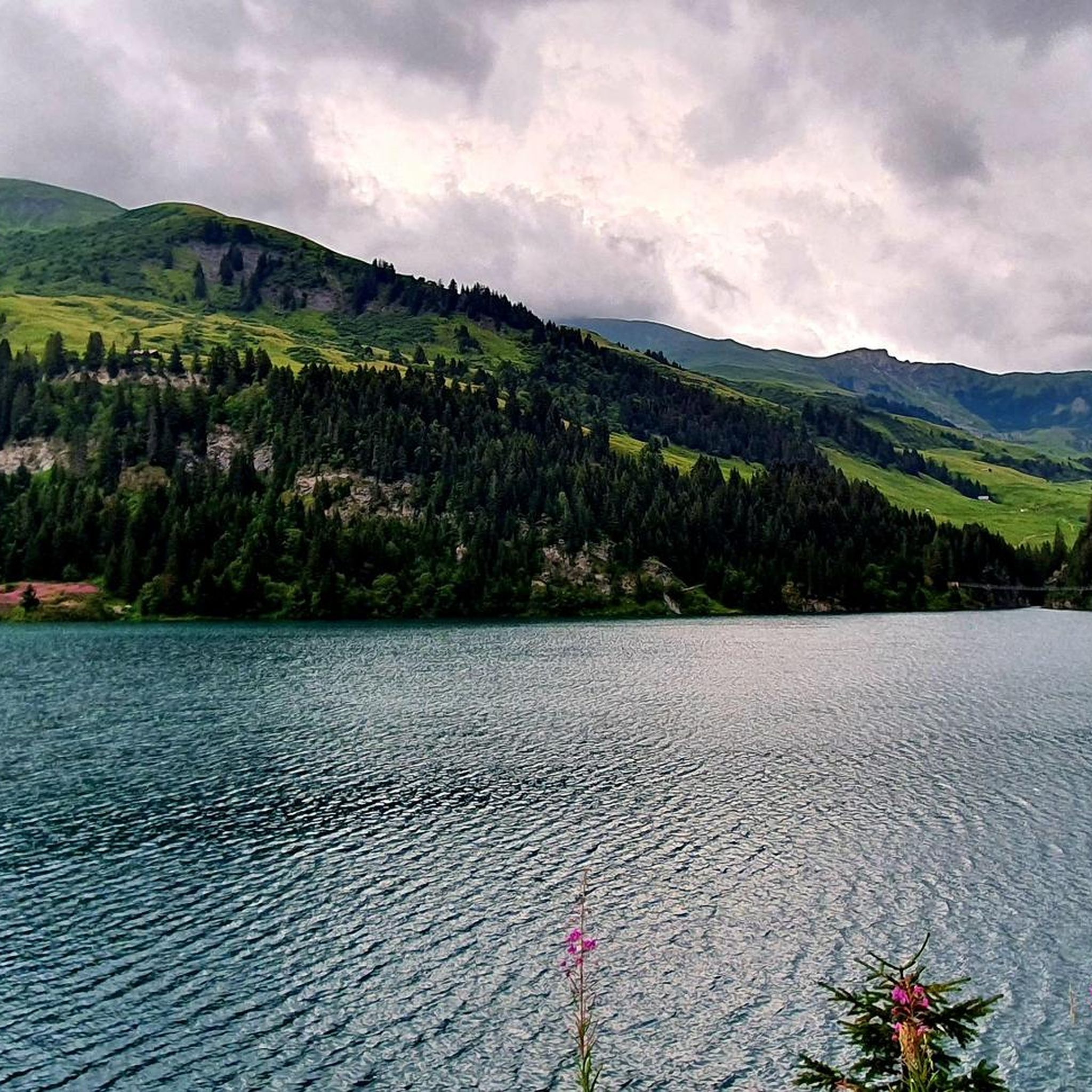
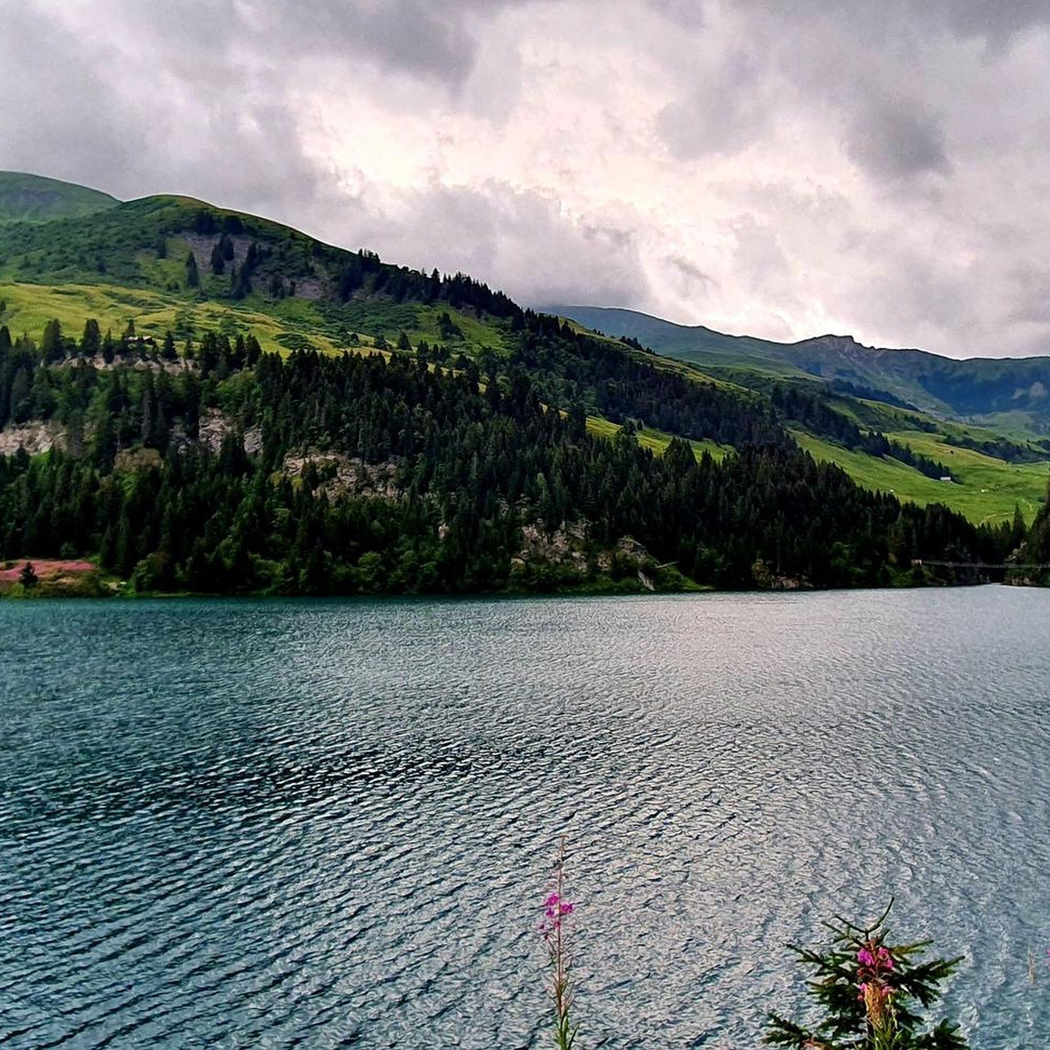
Gravel biking around Lac de Saint-Guérin offers a diverse terrain set within a dramatic alpine landscape. The region features an artificial lake with crystalline waters, surrounded by wild alpine pastures and panoramic views of the French Alps. Gravel bike trails often include demanding climbs, unpaved sections, and roads with bumpy patchwork asphalt, providing a challenging experience for riders. Significant elevation gains are common, particularly on routes leading to higher alpine areas.
Best gravel bike trails around Lac de Saint-Guérin
- The…
Last updated: July 10, 2026
4
riders
14.8km
01:29
590m
590m
Hard gravel ride. Very good fitness required. Mostly paved surfaces. Suitable for all skill levels.
7
riders
25.8km
02:15
1,060m
1,060m
Hard gravel ride. Very good fitness required. Mostly paved surfaces. Suitable for all skill levels.

Sign up for free
8
riders
76.8km
06:14
2,390m
2,390m
Hard gravel ride. Very good fitness required. Mostly paved surfaces. Suitable for all skill levels.
5.0
(2)
12
riders
25.9km
02:21
950m
940m
Hard gravel ride. Very good fitness required. Mostly paved surfaces. Suitable for all skill levels.
17
riders
41.7km
03:31
1,450m
1,450m
Hard gravel ride. Very good fitness required. Mostly paved surfaces. Suitable for all skill levels.
Get access to more routes and recommendations from other explorers.
Sign up for free
Already have an account?
Our route recommendations are based on thousands of hikes, rides, and runs completed by other people on komoot.
Start today with a free account
Your next adventure awaits.
Login or Signup
Popular around Lac de Saint-Guérin

Other adventures around Lac de Saint-Guérin

Tips from the Community

A shame that the end of this magnificent pass is not better signposted.
0
0

Nice pleasant place with church, shop and restaurants.
2
0


easy endurance tour, beautiful, highly recommended
1
0
(Non-electric mountain bike with baby carrier) The start is on a paved road, with some steep climbs, up to the restaurant (closed in summer). Then it's a fairly smooth ride before tackling the climb to Mont Clocher. Be careful, it's very steady but requires a significant effort. The descent is gentle; you can finish with the green DH trail for the more adventurous!
0
0

The Roselend Dam is located in the commune of Beaufort-sur-Doron, in the Beaufortain region of Savoie, between the Col du Pré and the Cormet de Roselend, near the Arêches-Beaufort ski resort. The surrounding mountains reach an altitude of around 2,800 meters. It is part of the Roselend La Bâthie hydroelectric complex, which includes the Roselend Dam and two satellite dams: La Gittaz and Saint-Guérin. This complex is managed by EDF's Alpes Production Unit. The Roselend La Bâthie hydroelectric complex produces the equivalent of the domestic energy consumption of 450,000 residents, thus avoiding the emission of 890,000 tons of CO2 per year. The Roselend Dam is a double-curved arch dam with buttresses. Height = 150 meters Crest length = 804 meters Water reservoir [of the hydroelectric complex] = 187 million m3 The Roselend - La Bâthie development is supplied by the Roselend dam itself, as well as by two satellite dams, La Gittaz and Saint-Guérin. The total storage capacity of these three reservoirs, connected by a system of galleries, is 213 million m3. The water collected at Roselend crosses the massif through a 12.5 km long gallery to flow at an altitude of 1,400 m into the Isère Valley, in the Tarentaise region. It is then transported to the underground plant at La Bâthie via a 2,500 m long penstock, with a drop of 1,200 m. The power plant is equipped with six Pelton-type generating units with a total capacity of 550 MW. Since 2013, EDF has been replacing the main components of each generating unit (turbine, generator, transformer, and energy evacuation cables) to achieve a total capacity of 600 MW by the end of 2018. https://youtu.be/G0Ss9v6wxQQ
1
0

Magnificent view from the pass, but impossible on gravel.
1
0
Frequently Asked Questions
What kind of terrain can I expect on gravel bike trails around Lac de Saint-Guérin?
Gravel biking around Lac de Saint-Guérin offers a diverse and often challenging terrain. You'll encounter sections of "bumpy patchwork asphalt" with minimal traffic, as well as significant unpaved portions, especially on ascents like the Cormet d'Arêches. The routes frequently traverse wild alpine pastures, providing a true mountain gravel experience.
Are there challenging gravel bike routes for experienced riders?
Yes, the region is well-suited for experienced gravel bikers seeking a challenge. Many routes feature demanding climbs and significant elevation gains. For example, the Arêches Ski Resort – Plan Villard loop from Beaufort is a difficult 16.2-mile path with nearly 950 meters of elevation gain. Another demanding option is the Arêches Village Center – Fairy Lake loop from Beaufort, a 25.8-mile trail with over 1440 meters of climbing.
Are there any easier gravel bike routes suitable for beginners?
While many routes involve significant climbing, there are options for those looking for a less strenuous ride. The Beaufort – Beaufort loop from Arêches is a moderate 8.4-mile trail that navigates through wild alpine pastures with varied surfaces, offering a good introduction to the area's gravel. Additionally, the Beaufort – Beaufort loop from Villard-sur-Doron is an easy 4-mile route with minimal elevation gain.
What natural features or landmarks can I see while gravel biking near Lac de Saint-Guérin?
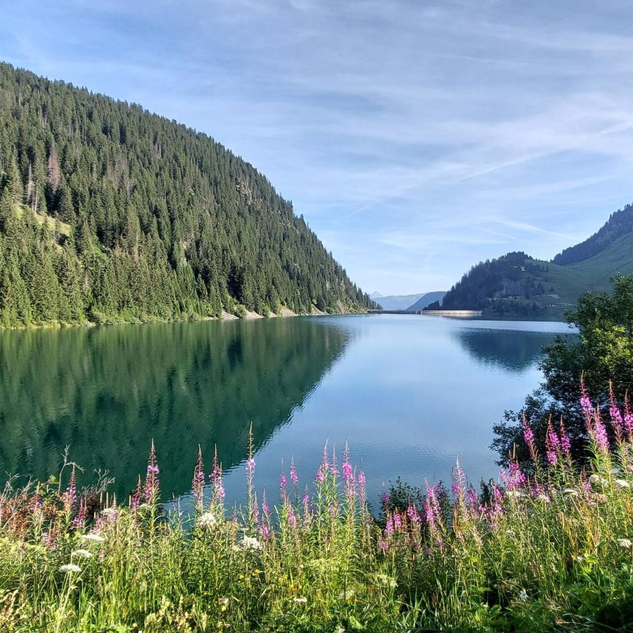
The area around Lac de Saint-Guérin is rich in natural beauty and unique man-made structures. You can admire the crystalline waters of Lac de Saint-Guérin itself, set against alpine pastures. A notable landmark is the imposing Saint-Guérin Dam, which you can walk across. The region also offers panoramic views of the French Alps, including glimpses of the Aravis mountain range.
Are there any specific points of interest along the gravel routes?
Yes, several routes offer access to points of interest. Beyond the dam, you might encounter the Himalayan Footbridge, an 83-meter-long suspended bridge offering spectacular aerial views. Some trails also lead towards other accessible lakes like Lac des Fées, providing additional scenic stops. The Cormet d'Arêches is a key attraction for gravel cyclists, with its unpaved final kilometers and stunning alpine scenery.
Are there any loop routes available for gravel biking?
Yes, many of the gravel biking routes around Lac de Saint-Guérin are designed as loops, allowing you to start and finish in the same location. Examples include the Beaufort – Beaufort loop from Arêches, the Arêches Ski Resort – Plan Villard loop from Beaufort, and the Arêches Village Center – Fairy Lake loop from Beaufort.
What kind of elevation gain should I expect on these trails?
Gravel biking around Lac de Saint-Guérin typically involves significant elevation gains due to the alpine setting. Even moderate routes can have over 400 meters of climbing, while more difficult trails, such as the Arêches Village Center – Fairy Lake loop from Beaufort, can feature over 1400 meters of ascent. Be prepared for demanding climbs, especially when heading to higher alpine areas.
When is the best time of year to go gravel biking around Lac de Saint-Guérin?
The best time for gravel biking around Lac de Saint-Guérin is generally from late spring through early autumn (May to October). During these months, the weather is more favorable, and the higher alpine passes, like the Cormet d'Arêches, are typically free of snow. Always check local weather and trail conditions before heading out, as mountain weather can change rapidly.
What do other gravel bikers say about the trails around Lac de Saint-Guérin?
The gravel biking routes in Lac de Saint-Guérin are highly rated by the komoot community, with an average score of 5.0 stars from 5 reviews. Over 100 gravel bikers have used komoot to explore the varied terrain, often praising the dramatic alpine setting, the challenging yet rewarding climbs, and the stunning views of the surrounding mountains and pastures.
Are there family-friendly gravel biking options?
While many routes are challenging, some shorter, less strenuous options can be suitable for families with older children or those with e-gravel bikes. The Beaufort – Beaufort loop from Villard-sur-Doron is an easy 4-mile route with minimal elevation, which could be a good starting point for families. Always assess the route's difficulty and your family's fitness level before embarking.
How many gravel bike routes are available in the area?
There are several dedicated gravel bike routes around Lac de Saint-Guérin, with a total of 4 routes detailed in this guide. These range from moderate loops to more challenging trails with substantial elevation gain, offering options for different ability levels.
Most popular routes around Lac de Saint-Guérin
Most popular attractions around Lac de Saint-Guérin

Get inspired with the komoot mobile app


Explore more
Browse the best Gravel rides in other regions.
