The best mountain hikes around Lac de Saint-Guérin
4.6
(14)
214
hikers
11
hikes
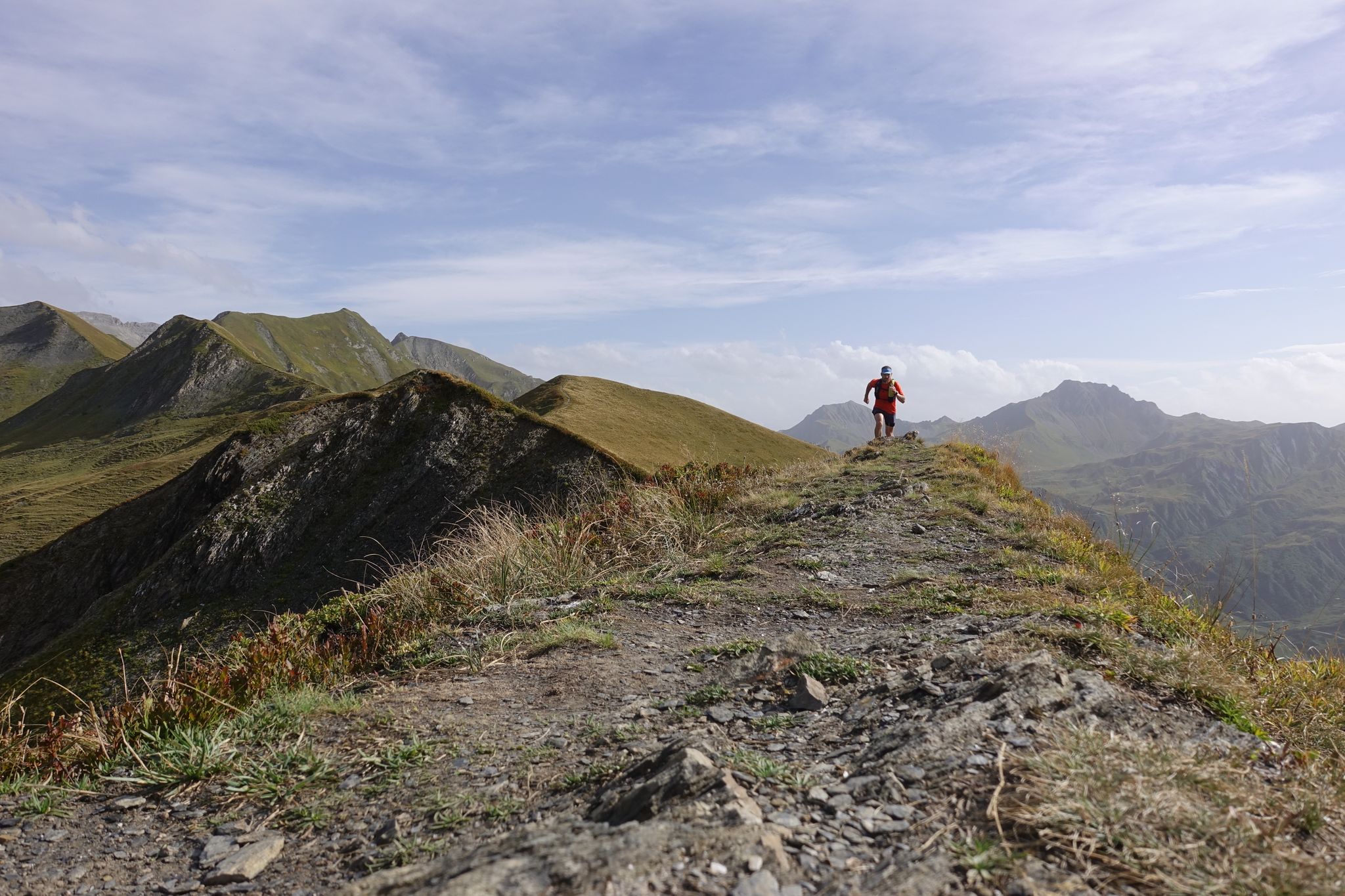
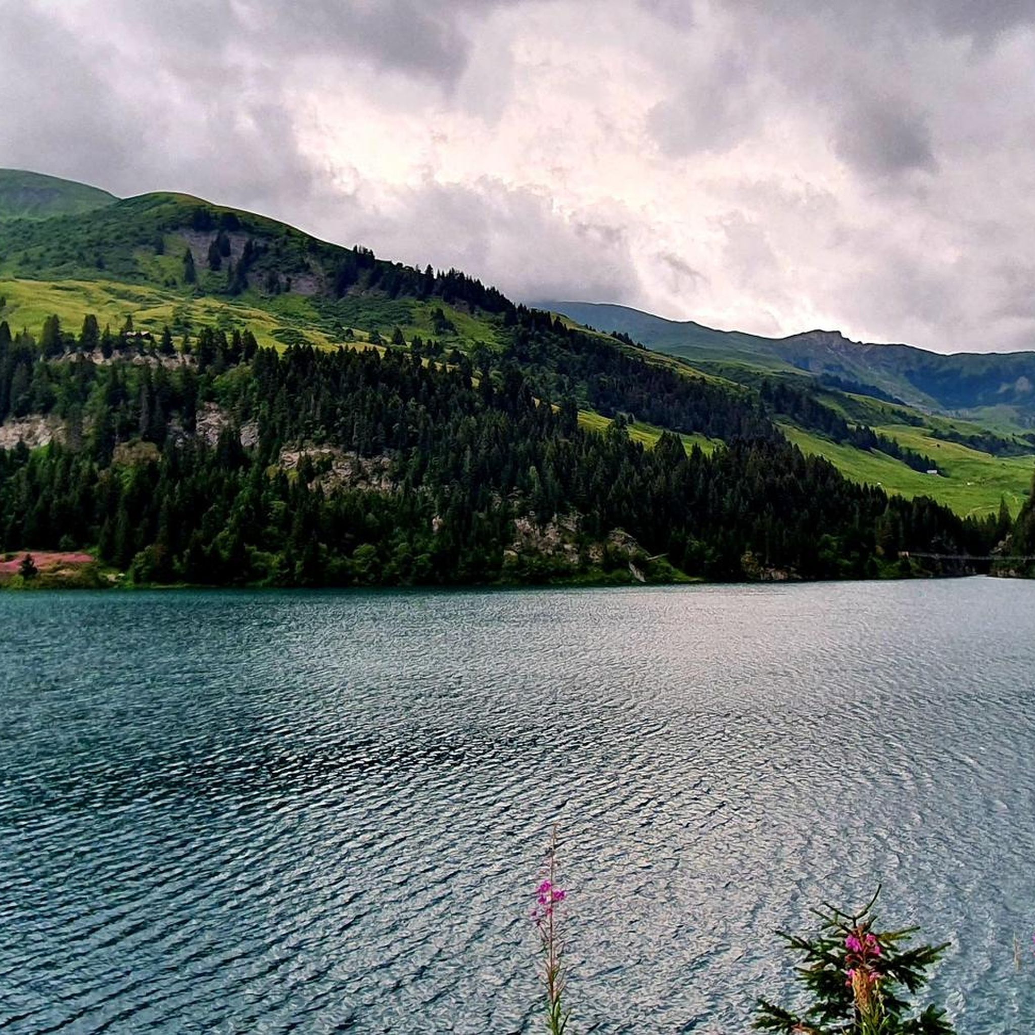
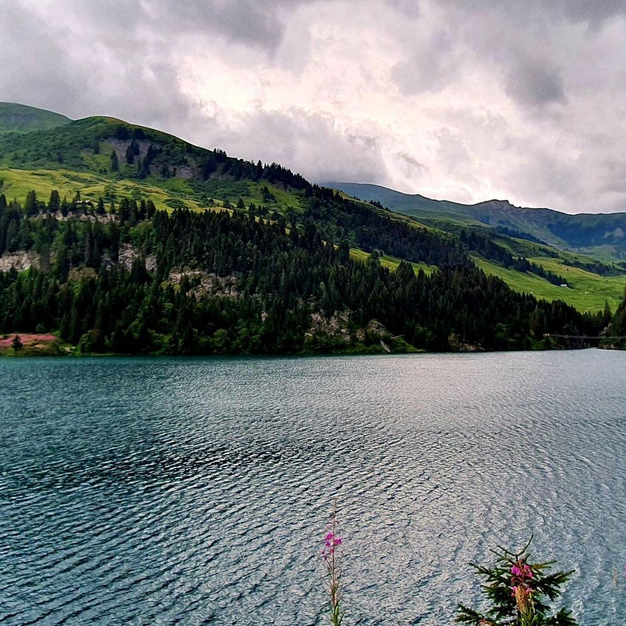
Mountaineering routes around Lac de Saint-Guérin are situated in the heart of the Beaufortain region, characterized by its alpine landscapes and a prominent mountain lake at 1,557 meters. The area features rugged peaks such as Roc du Vent, Aiguille du Grand Fond, and La Pierra Menta, providing challenging ascents. Surrounding the lake are mountain pastures and diverse terrain, including the Cormet d'Arêches, which connects to the Tarentaise mountains.
Best mountaineering routes around Lac de Saint-Guérin
- The most popular mountaineering route is Lac de Saint-Guérin – Le Grand Mont loop from Barrage de Saint-Guérin, a 10.5 miles (16.9 km) trail that takes 8 hours to complete. This difficult route offers significant elevation gain towards Le Grand Mont.
- Another top favourite among local mountaineers is Lake Saint-Guérin – Fairy Lake loop from Barrage de Saint-Guérin, a moderate 7.4 miles (11.9 km) path. This route leads to the picturesque Fairy Lake, offering varied terrain and scenic views.
- Local mountaineers also love the View from Mont Coin loop from Barrage de Saint-Guérin, a 9.7 miles (15.6 km) trail leading through alpine landscapes, often completed in about 6 hours 30 minutes.
- Mountaineering around Lac de Saint-Guérin is defined by high-altitude lakes, mountain pastures, and prominent peaks like La Pierra Menta. The network offers options for different ability levels, from moderate ascents to difficult, multi-hour expeditions.
- The routes in Lac de Saint-Guérin are highly rated by the komoot community with an average score of 4.2 stars from more than 10 reviews. More than 200 mountaineers have used komoot to explore Lac de Saint-Guérin's varied terrain.
Last updated: July 11, 2026
4.0
(2)
8
hikers
16.3km
07:48
1,150m
1,150m
Hard mountaineering route. Very good fitness required. Sure-footedness, sturdy shoes and alpine experience required.
5.0
(1)
7
hikers
12.1km
04:26
550m
550m
Moderate mountaineering route. Good fitness required. Mostly accessible paths. Sure-footedness required.

Sign up for free
26
hikers
11.9km
05:35
930m
930m
Hard mountaineering route. Very good fitness required. Sure-footedness, sturdy shoes and alpine experience required.
6
hikers
22.6km
08:13
1,120m
1,120m
Hard mountaineering route. Very good fitness required. Mostly accessible paths. Sure-footedness required.
5.0
(2)
21
hikers
10.9km
04:45
970m
970m
Hard mountaineering route. Very good fitness required. Mostly accessible paths. Sure-footedness required.
Get access to more routes and recommendations from other explorers.
Sign up for free
Already have an account?
Our route recommendations are based on thousands of hikes, rides, and runs completed by other people on komoot.
Start today with a free account
Your next adventure awaits.
Login or Signup
Popular around Lac de Saint-Guérin
Other adventures around Lac de Saint-Guérin

Tips from the Community

Beautiful view towards Mount Bellacha and the Grand Arc.
0
0

beautiful and peaceful lake, great to have a lunch break with a view
0
0

Beautiful alpine lake worth visiting.
0
0
Easy walk from Lake Saint-Guérin. Also accessible by bike (gravel).
0
0
The site is a destination in itself. From the lake, access to various classic hikes: towards the Col de la Louze, towards the Lac des Fées...
0
0
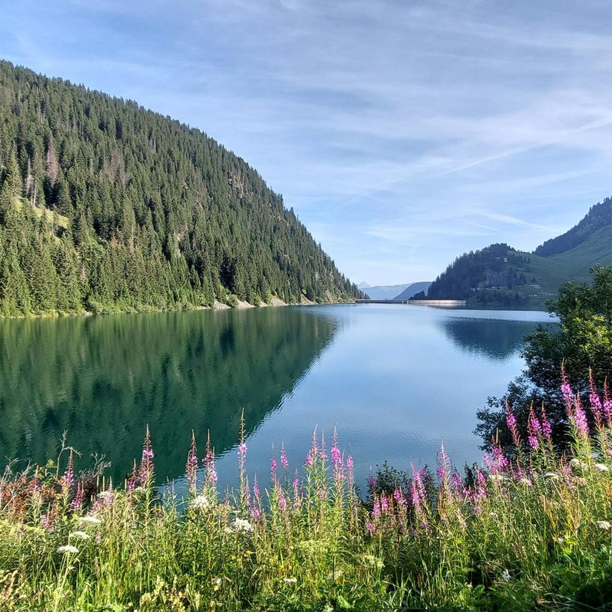
View of the lake on an August morning, from the south bank.
0
0

Beautiful lake, superb mountains, heavenly place.
0
0
Frequently Asked Questions
What types of mountaineering routes can I find around Lac de Saint-Guérin?
The Lac de Saint-Guérin area offers a diverse range of mountaineering routes, from moderate ascents to difficult, multi-hour expeditions. You'll find paths leading through peaceful mountain pastures, around high-altitude lakes, and towards prominent peaks like Roc du Vent, Aiguille du Grand Fond, and La Pierra Menta. The region is known for its alpine landscapes and challenging terrain.
Are there any moderate mountaineering routes suitable for those with some experience but not looking for extreme challenges?
Yes, there are several moderate routes. For instance, the Lake Saint-Guérin – Fairy Lake loop from Barrage de Saint-Guérin is a moderate 7.4-mile (11.9 km) path that leads to the picturesque Fairy Lake, offering varied terrain and scenic views without the most extreme elevation gains.
What are some of the more challenging mountaineering routes in the area?
For those seeking a significant challenge, the Lac de Saint-Guérin – Le Grand Mont loop from Barrage de Saint-Guérin is a difficult 10.5-mile (16.9 km) trail with substantial elevation gain towards Le Grand Mont, typically taking around 8 hours. Another demanding option is the Lac de Saint-Guérin – Col de la Louze loop from Arêches Beaufort, which spans over 14 miles (22.6 km) and involves significant climbing.
What natural features and landmarks can I expect to see along the mountaineering routes?
The routes around Lac de Saint-Guérin are rich in natural beauty. You'll encounter the stunning emerald blue reflections of Lake Saint-Guérin and its impressive Saint-Guérin Dam. Many trails offer views of other high-altitude lakes like Fairy Lake and the large Roselend dams. You might also cross the thrilling 80-meter-long Himalayan footbridge suspended over Lac de Saint-Guérin, and enjoy panoramic views of peaks such as Roc du Vent, Aiguille du Grand Fond, and La Pierra Menta.
Are there any circular mountaineering routes available?
Yes, many of the mountaineering routes around Lac de Saint-Guérin are designed as loops. Examples include the Lac de Saint-Guérin – Le Grand Mont loop from Barrage de Saint-Guérin, the Lake Saint-Guérin – Fairy Lake loop from Barrage de Saint-Guérin, and the View from Mont Coin loop from Barrage de Saint-Guérin, all offering a return to your starting point.
What is the best time of year for mountaineering around Lac de Saint-Guérin?
The best time for mountaineering in the Lac de Saint-Guérin area is typically during the summer months. This period offers the most favorable weather conditions for high-altitude treks, with trails generally clear of snow, allowing access to the diverse landscapes and challenging ascents.
Is it possible to reach the mountaineering routes using public transport?
While specific public transport details for reaching every trailhead are not readily available, the region is generally accessible. Many routes, such as the Le Grand Mont loop from Arêches Beaufort, start from towns like Arêches Beaufort, which may have local transport connections. It's advisable to check local bus schedules or shuttle services for the Beaufortain region when planning your trip.
Are there parking facilities available near the trailheads?
Yes, many mountaineering routes, particularly those starting from Barrage de Saint-Guérin, have parking facilities nearby. For example, routes like the Lac de Saint-Guérin – Le Grand Mont loop often begin directly from the dam area, where parking is typically available for visitors.
What do other mountaineers say about the routes in Lac de Saint-Guérin?
The mountaineering routes in Lac de Saint-Guérin are highly rated by the komoot community, with an average score of 4.2 stars from more than 10 reviews. Mountaineers often praise the varied terrain, the stunning alpine landscapes, and the challenging nature of the ascents, particularly towards prominent peaks like Le Grand Mont.
Are there any family-friendly options for exploring the area, perhaps less strenuous than full mountaineering?
While this guide focuses on mountaineering, the broader Lac de Saint-Guérin area does offer more accessible options. For example, a family-friendly walk is the 8.4 km loop directly around Lac de Saint-Guérin. The Cuvy Plateau, accessible by chairlift in summer, also serves as a starting point for hikes with panoramic views, some of which may be suitable for families.
Can I bring my dog on the mountaineering trails around Lac de Saint-Guérin?
The Beaufortain region, including the area around Lac de Saint-Guérin, is generally welcoming to dogs on trails. However, it's crucial to keep dogs on a leash, especially in mountain pastures where livestock graze, and to respect local regulations, particularly within any protected areas. Always ensure your dog is capable of handling the terrain and duration of your chosen mountaineering route.
How many mountaineering routes are covered in this guide for Lac de Saint-Guérin?
This guide features 15 distinct mountaineering routes around Lac de Saint-Guérin, offering a wide range of options for different skill levels and preferences.
Most popular routes around Lac de Saint-Guérin
Most popular attractions around Lac de Saint-Guérin

Get inspired with the komoot mobile app


Explore more
Browse the best Mountain Hikes & Routes in other regions.
