The best gravel rides around Saint-Ciergues
4.5
(9)
46
riders
7
rides
Gravel biking around Saint-Ciergues, located in the Haute-Marne department of France, offers diverse landscapes for exploration. The municipality sits at an elevation ranging from 329 to 457 meters, providing varied terrain suitable for cycling. The region is characterized by rolling plains, gentle valleys, and extensive forested areas, including parts of the Parc National des Forêts. These features, along with unpaved roads and forest tracks, create an ideal environment for gravel biking.
Best gravel bike trails around Saint-Ciergues
- The most popular…
Last updated: July 5, 2026
4.5
(2)
9
riders
29.2km
02:04
230m
230m
Moderate gravel ride. Good fitness required. Mostly paved surfaces. Suitable for all skill levels.
4.3
(3)
10
riders
27.5km
01:59
260m
260m
Moderate gravel ride. Good fitness required. Mostly paved surfaces. Suitable for all skill levels.

Sign up for free
5.0
(2)
9
riders
32.9km
02:19
280m
280m
Moderate gravel ride. Good fitness required. Mostly paved surfaces. Suitable for all skill levels.
4.0
(2)
7
riders
26.1km
01:46
250m
250m
Moderate gravel ride. Good fitness required. Mostly paved surfaces. Suitable for all skill levels.
2
riders
17.0km
01:28
280m
280m
Moderate gravel ride. Good fitness required. Mostly paved surfaces. Suitable for all skill levels.
Get access to more routes and recommendations from other explorers.
Sign up for free
Already have an account?
Our route recommendations are based on thousands of hikes, rides, and runs completed by other people on komoot.
Start today with a free account
Your next adventure awaits.
Login or Signup
Tips from the Community

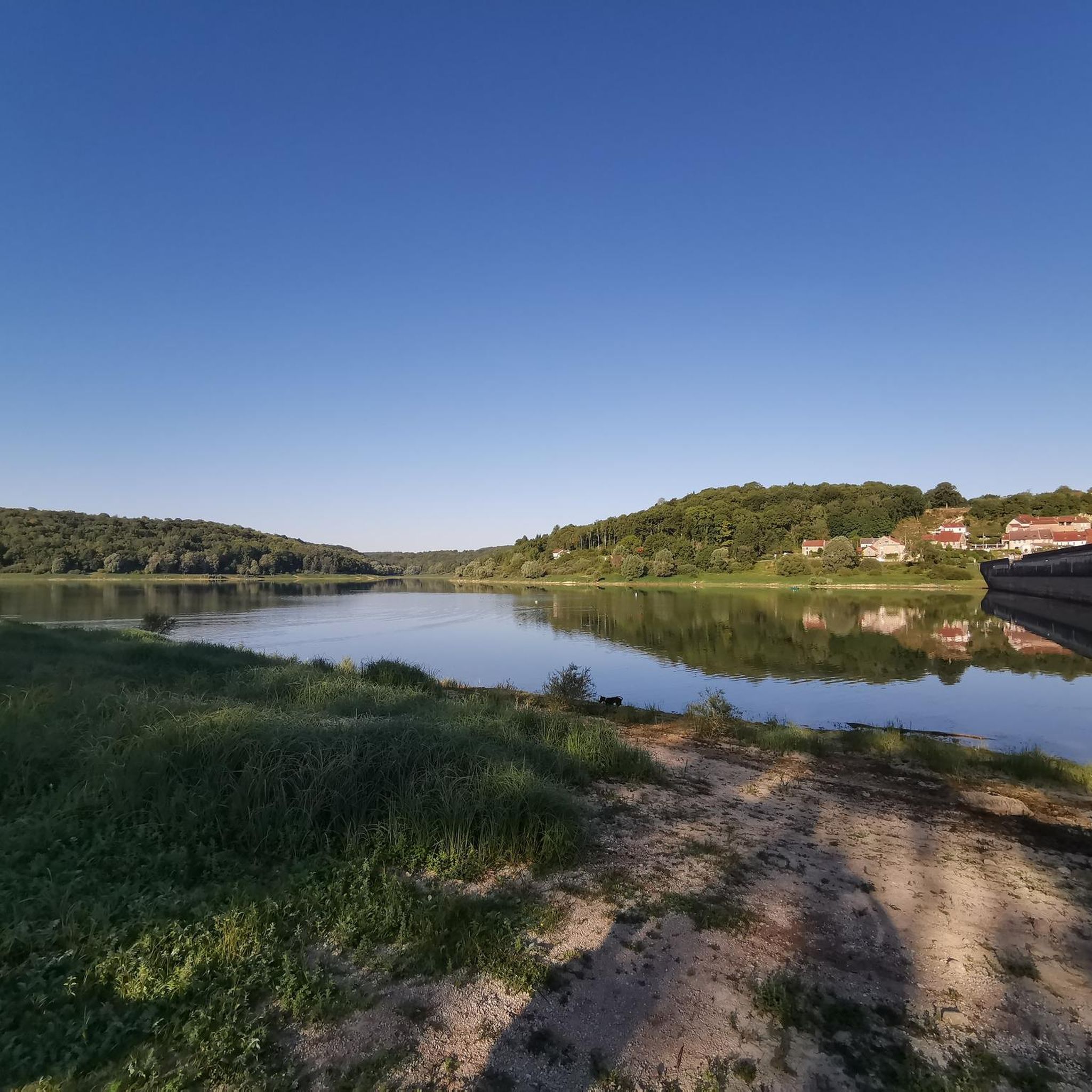
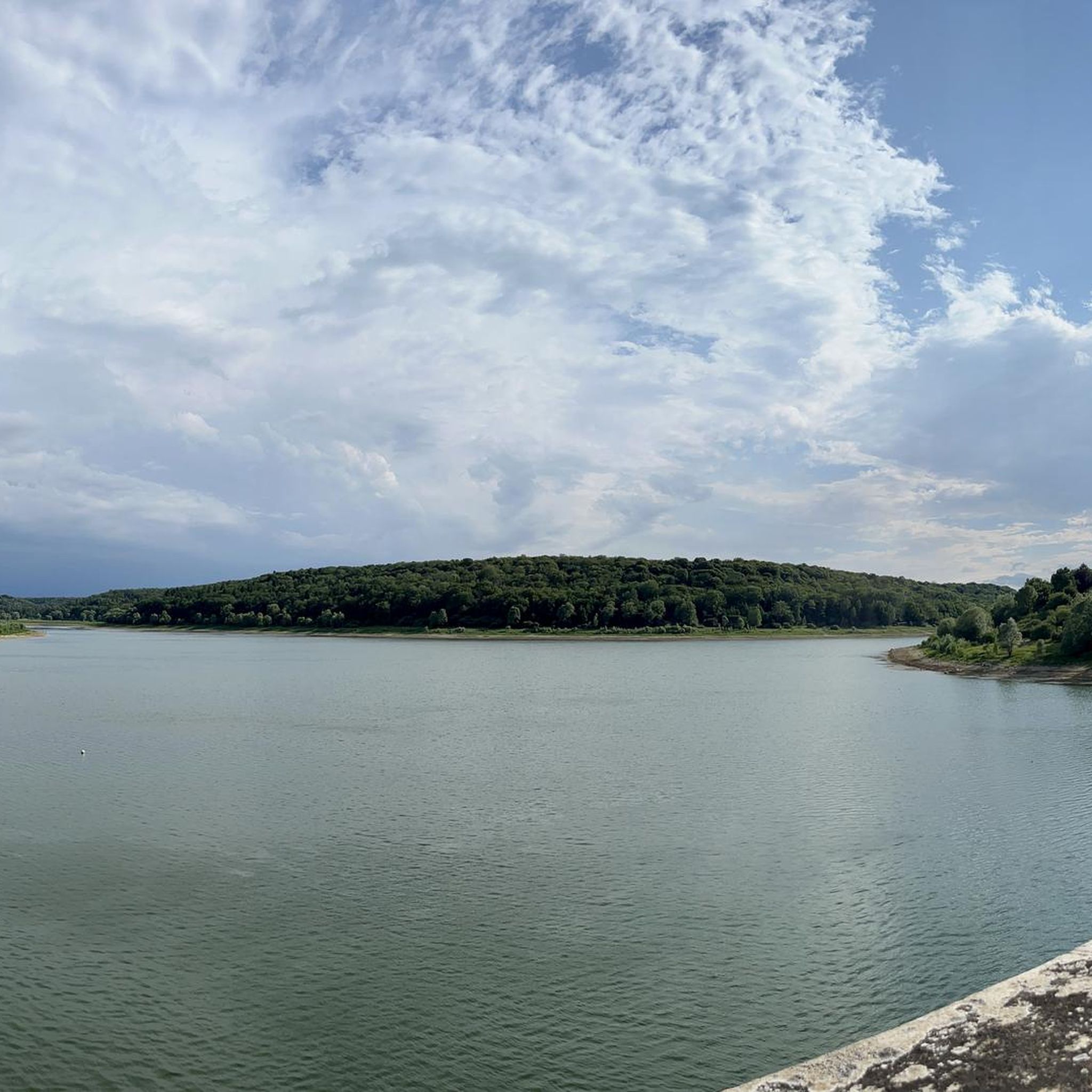
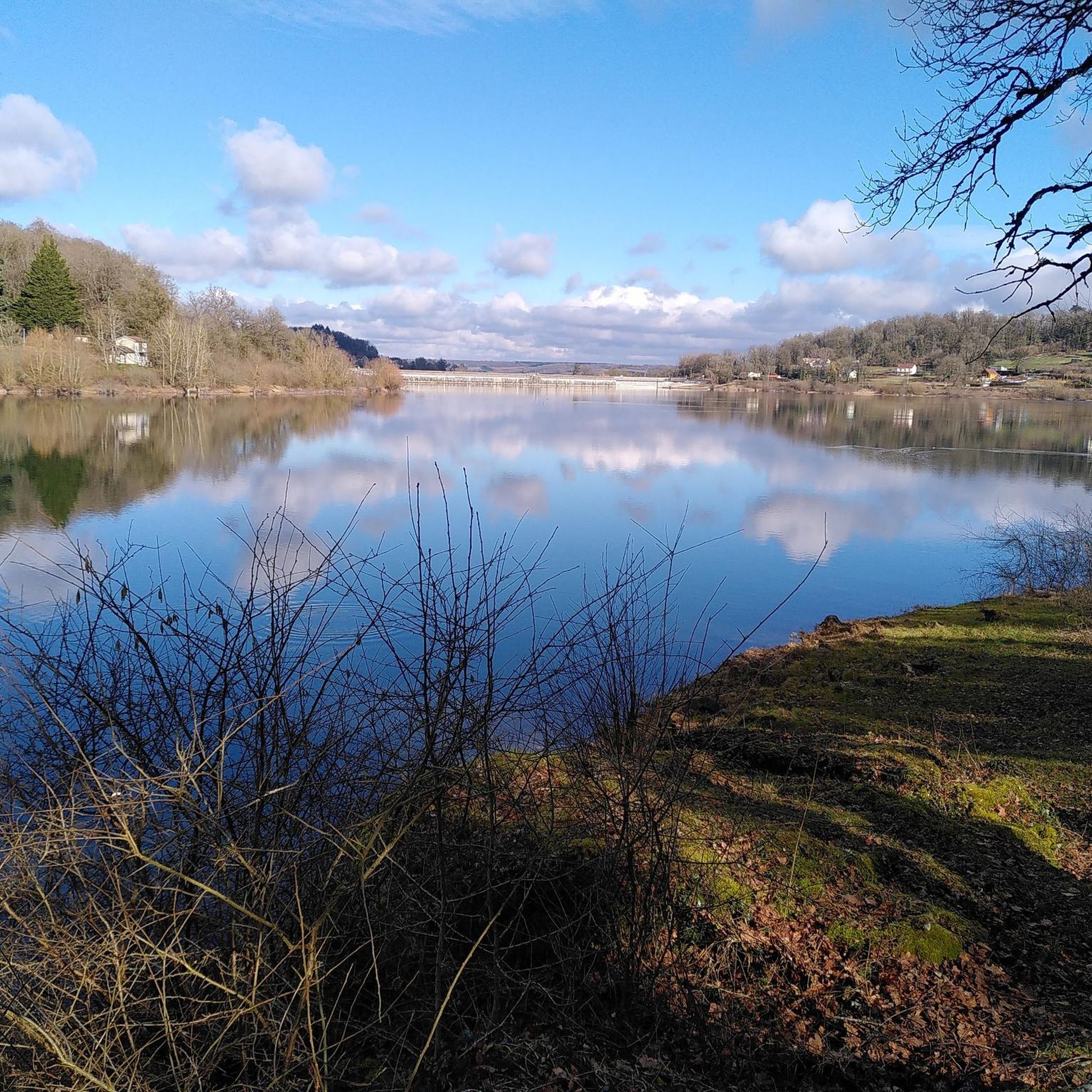
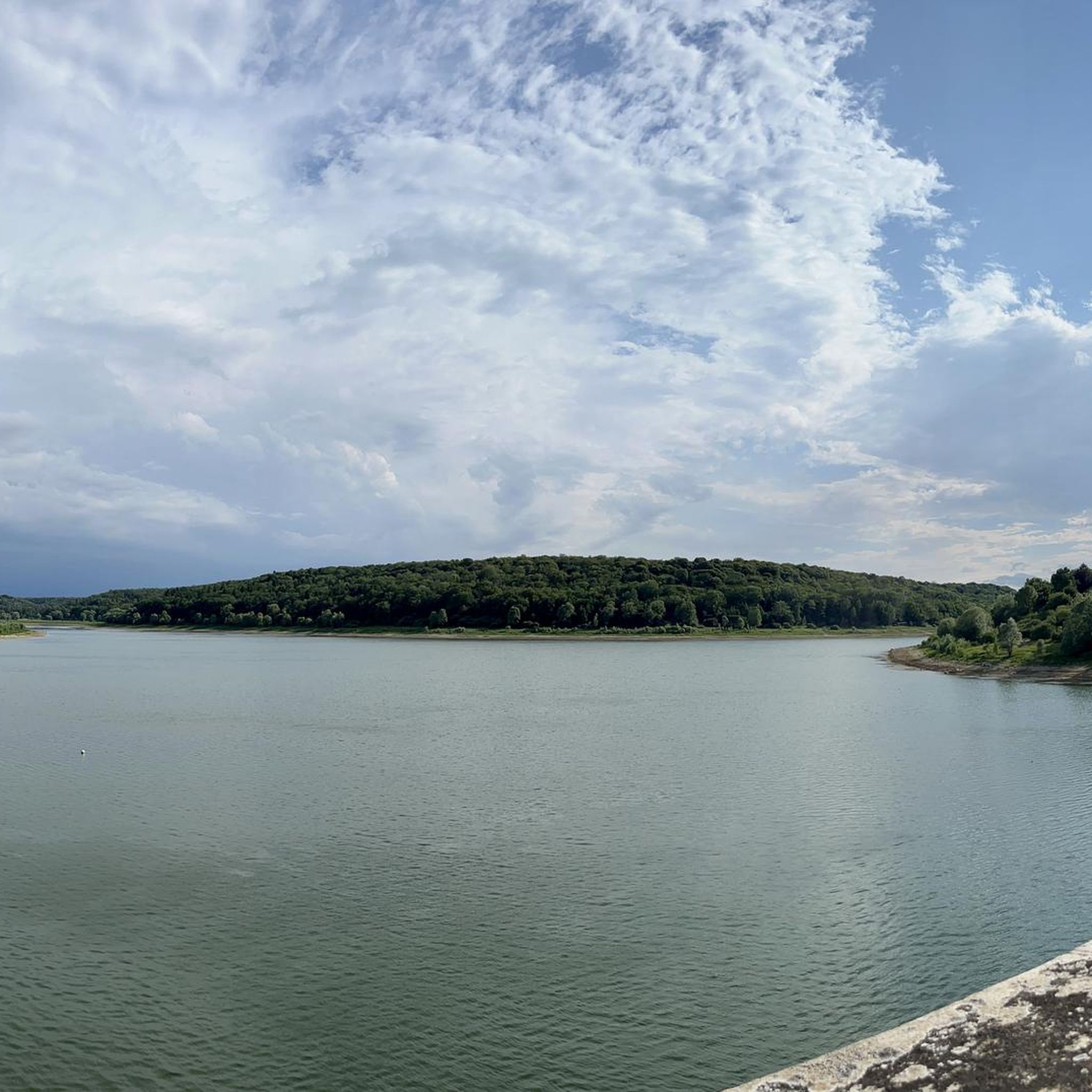
The Charmes reservoir was created at the end of the 19th century and is one of four reservoirs that feed the upper section of the Canal de la Carpentaria between Champagne and Burgundy. A village was flooded for the construction of the canal.
1
0
Until the mid-19th century, the remains of a Gallo-Roman arch, which marked the northern city limit, were still visible. After being integrated into the fortifications at the end of the 3rd century and becoming a city gate, this structure owes its name either to its length or to a legendary king named Longo, whose effigy was mounted on a corbel overlooking the city. Around 1538, a barbican was built in front of the gate to prevent a frontal assault.
2
0

Great place with a kiosk.
1
0

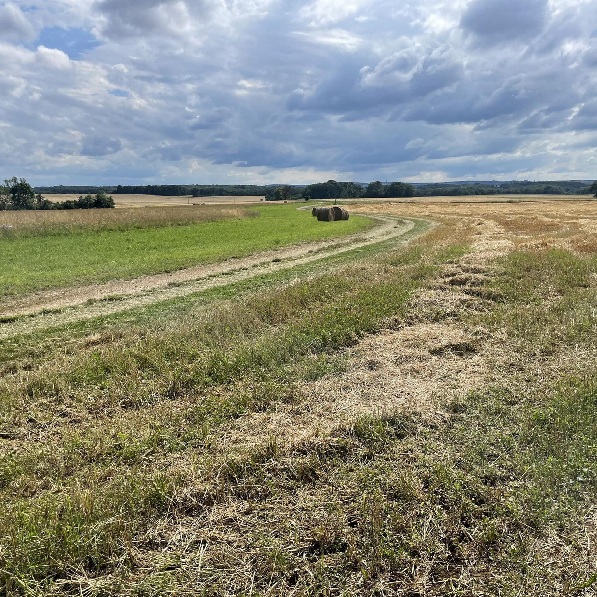
A beautiful local recreation area for hiking, swimming, and other recreational activities. The path around the lake is more suitable for hiking than cycling. We still managed it, though.
1
0

Beautiful circular route, only possible by bicycle, mostly natural paths
0
0
A very beautiful circular route around Lac de la Liez, whether on foot or by bike.
0
0

From this road you have a wonderful view of Langres, which rises on the hill opposite.
1
0

This vast expanse of water of 290 ha allows the practice of many activities. If you have a sporty soul, a 16 km route even allows you to go around it on foot or by mountain bike.
2
0
Frequently Asked Questions
How many gravel bike trails are available around Saint-Ciergues?
There are currently 5 curated gravel bike routes around Saint-Ciergues on komoot, offering diverse landscapes for exploration. These include 4 moderate routes and 1 difficult route, catering to various skill levels.
What kind of landscapes can I expect on gravel rides near Saint-Ciergues?
Gravel biking around Saint-Ciergues offers varied terrain, from elevations between 329 to 457 meters to scenic forest paths and routes circling beautiful lakes like Lac de la Liez and Lake Mouche. You'll experience the rugged beauty of the Haute-Marne, with characteristic white chalk trails and opportunities for panoramic views.
Are there any family-friendly gravel routes in the Saint-Ciergues area?
While specific 'family-friendly' designations aren't provided, many of the routes around Saint-Ciergues are classified as moderate, suggesting they are accessible for riders with some experience. For a shorter, manageable option, consider the Gravel loop from Rolampont, which is 16.6 km long and takes about 1 hour 40 minutes.
What are some notable attractions or landmarks to see along the gravel trails?
Many routes offer views of the historic city of Langres and its impressive city walls. You can also cycle around significant bodies of water like Lac de la Liez and Lake Mouche. Specific highlights in the vicinity include the grand Saint-Mammès Cathedral of Langres, the historic Porte des Terreaux, and the scenic Liez Lake Beach.
Are there any circular gravel routes available?
Yes, several routes are designed as loops. For example, the View to Langres up the lake – Lake Liez loop from Bannes offers a circular tour with views towards Langres and around Lac de la Liez. Another option is the Lake Mouche – Tufière de Saint-Ciergues loop from Langres, which explores the area around Lake Mouche.
What do other gravel bikers enjoy most about Saint-Ciergues?
The area is highly rated by the komoot community, with an average score of 4.3 stars from over 4 reviews. Riders often praise the diverse terrain, the beautiful lake views, and the opportunity to explore the wild nature of the Haute-Marne region.
Are there any longer gravel routes for experienced riders?
For a longer ride, consider the Lake Liez – Lake Mouche loop from Langres, which covers 46.7 km and connects two significant lakes, offering extensive water views and varied terrain suitable for those looking for a more extended adventure.
Can I find routes that offer views of the city of Langres?
Absolutely. The View to Langres up the lake – Lake Liez loop from Bannes specifically provides excellent views towards the historic city of Langres while circling Lac de la Liez.
What is the general difficulty level of gravel biking in Saint-Ciergues?
The gravel routes around Saint-Ciergues primarily feature moderate difficulty, with 4 out of 5 routes falling into this category. There is also one route classified as difficult, offering options for various fitness and skill levels. The varied elevations contribute to the moderate challenge.
Are there any routes that pass by Lake Mouche?
Yes, Lake Mouche is a prominent feature in several routes. The Lake Mouche – Tufière de Saint-Ciergues loop from Langres and the Lake Mouche – Porte des Terreaux loop from Peigney both incorporate this beautiful lake into their circuits, offering scenic lakeside riding.
What kind of terrain can I expect on the trails?
You'll encounter a mix of terrain, including forest paths, varied elevations, and characteristic white chalk trails that are ideal for gravel biking. The routes often feature both challenging ascents and rewarding panoramic views, especially around the lakes.
Most popular routes around Saint-Ciergues
Most popular attractions around Saint-Ciergues

Get inspired with the komoot mobile app


Explore more
Browse the best Gravel rides in other regions.
