The best gravel rides around Saint-Léger-Sous-La-Bussière
2.3
(5)
9
riders
4
rides
Gravel biking around Saint-Léger-Sous-La-Bussière features undulating terrain with a mix of rural roads, greenways, and wooded paths. The region's landscape includes areas like the Greenway of Southern Burgundy and Berthaud Wood, offering varied surfaces for gravel cyclists. Elevation gains are present on many routes, providing a physical challenge. The area provides opportunities to explore both natural and historical sites on two wheels.
Best gravel bike trails around Saint-Léger-Sous-La-Bussière
- The most popular gravel bike trail is Lamartine House – Greenway of…
Last updated: July 3, 2026
1.0
(1)
2
riders
22.7km
01:52
610m
610m
Hard gravel ride. Very good fitness required. Mostly paved surfaces. Suitable for all skill levels.
5.0
(3)
1
riders
23.3km
01:50
490m
490m
Hard gravel ride. Very good fitness required. Mostly paved surfaces. Suitable for all skill levels.

Sign up for free
2
riders
22.4km
01:30
390m
390m
Moderate gravel ride. Good fitness required. Mostly paved surfaces. Suitable for all skill levels.
1.0
(1)
1
riders
25.1km
01:47
490m
490m
Hard gravel ride. Very good fitness required. Mostly paved surfaces. Suitable for all skill levels.
Our route recommendations are based on thousands of hikes, rides, and runs completed by other people on komoot.
Start today with a free account
Your next adventure awaits.
Login or Signup
Tips from the Community

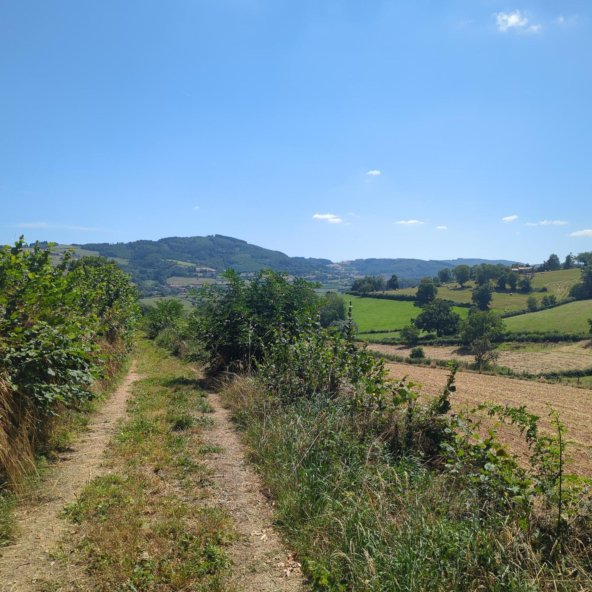
Magnificent ride mostly in the shade on level, smooth ground.
1
0
The Château de Saint-Point (also known as Château de Lamartine) in the Burgundy region originally dates from the 12th and 14th centuries. From 1820, it served as the residence for the famous French poet and politician Alphonse de Lamartine. Lamartine had the castle restored in the Anglo-Gothic style, which gives it its distinctive, romantic appearance with the round corner towers. It is a listed monument and can be visited as a museum.
1
0
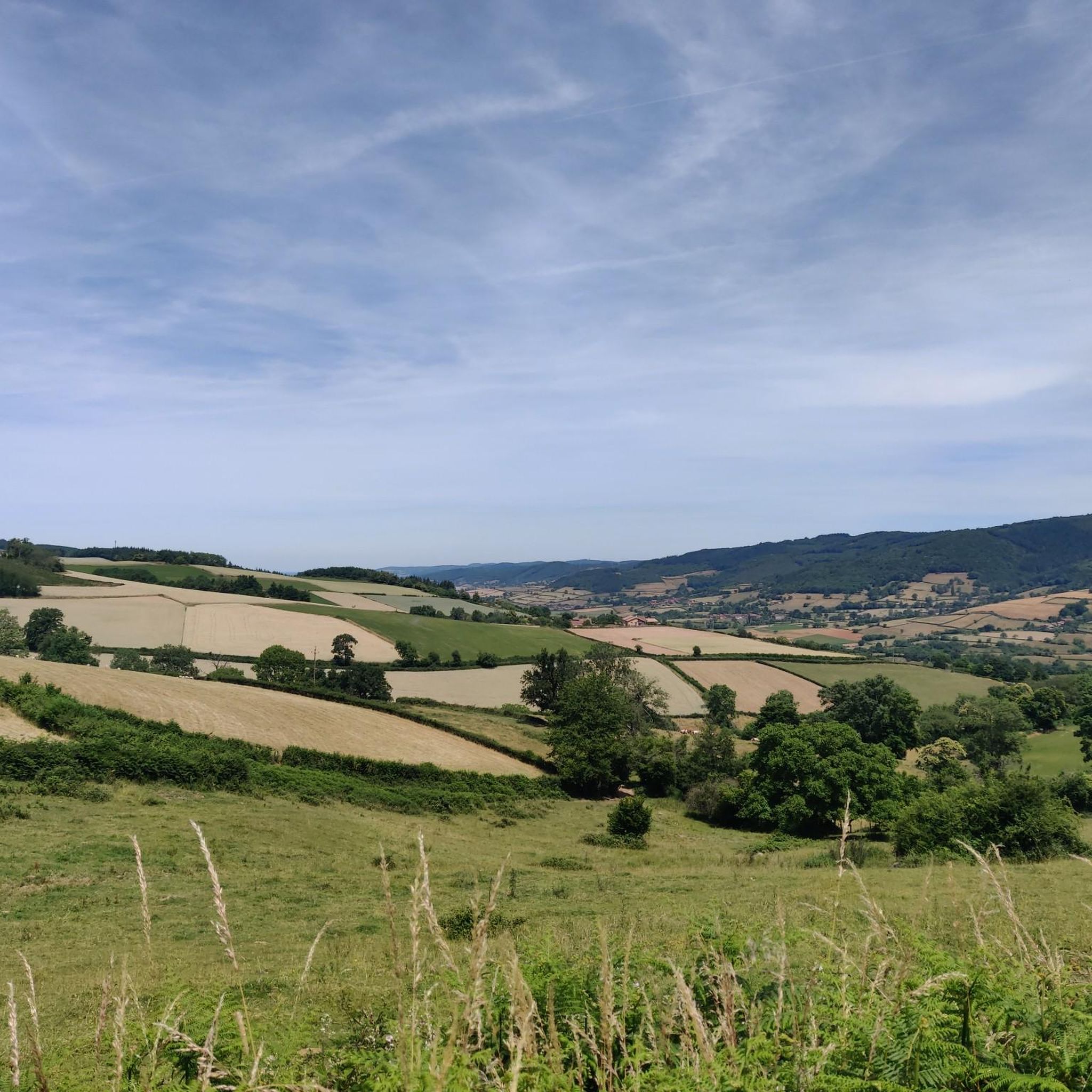
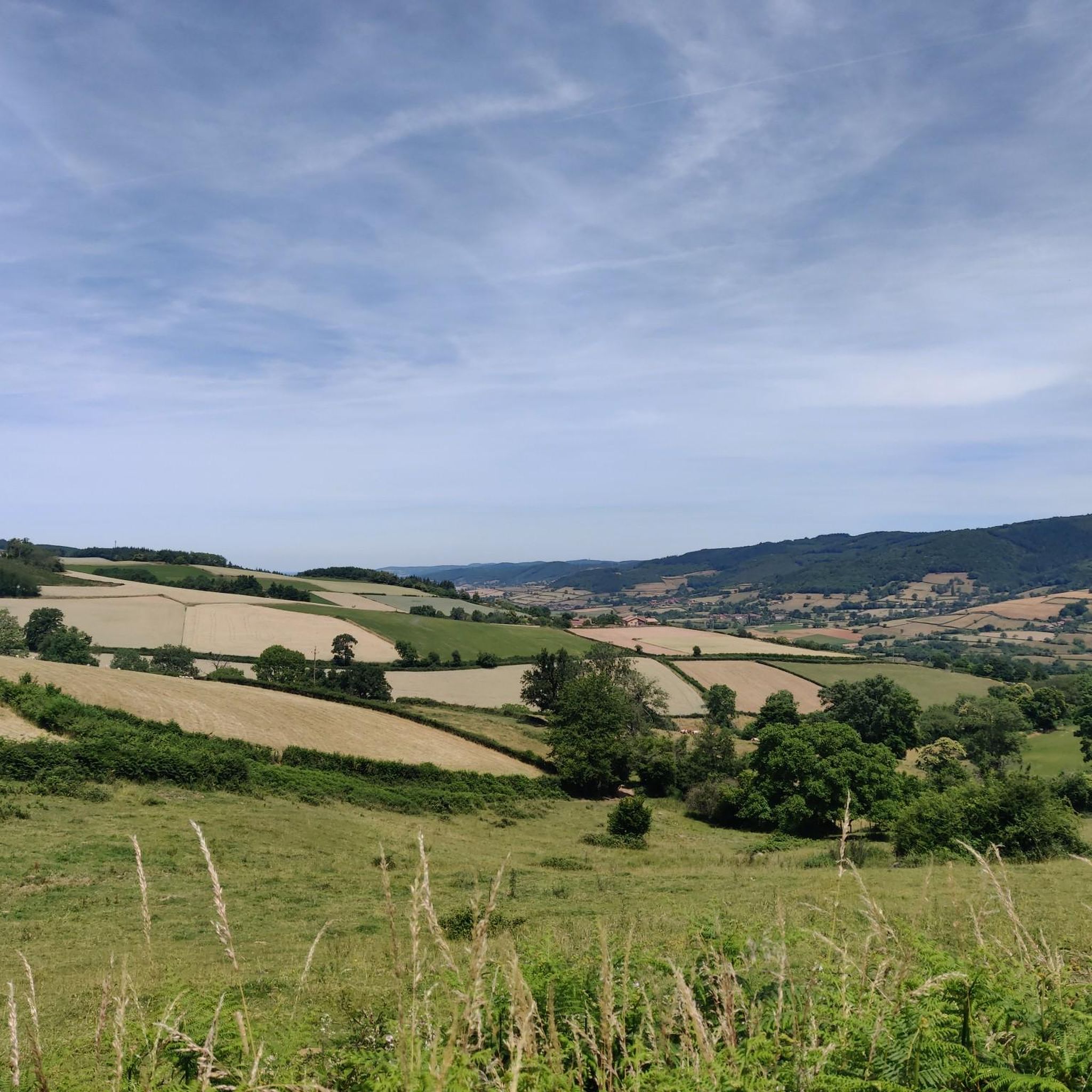
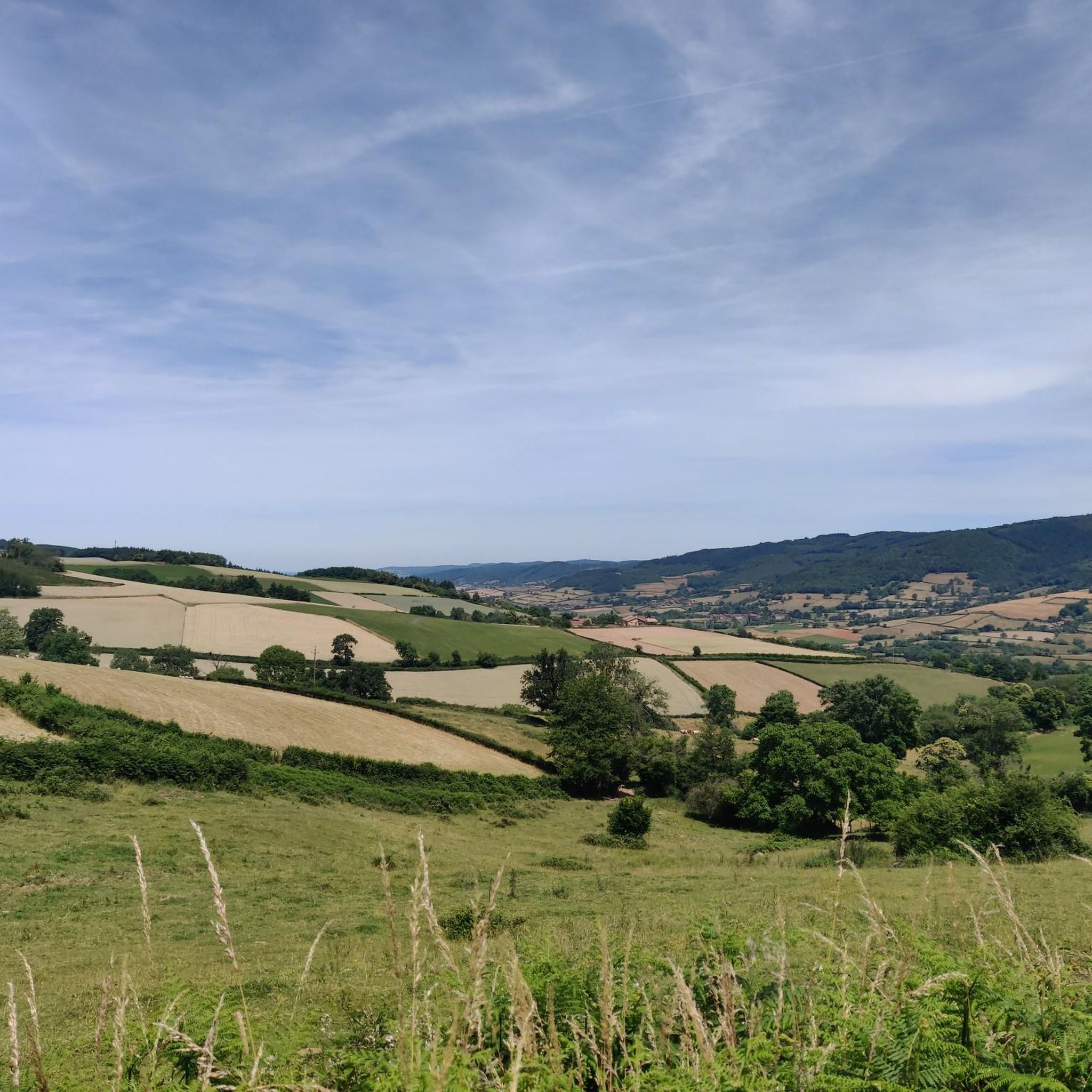
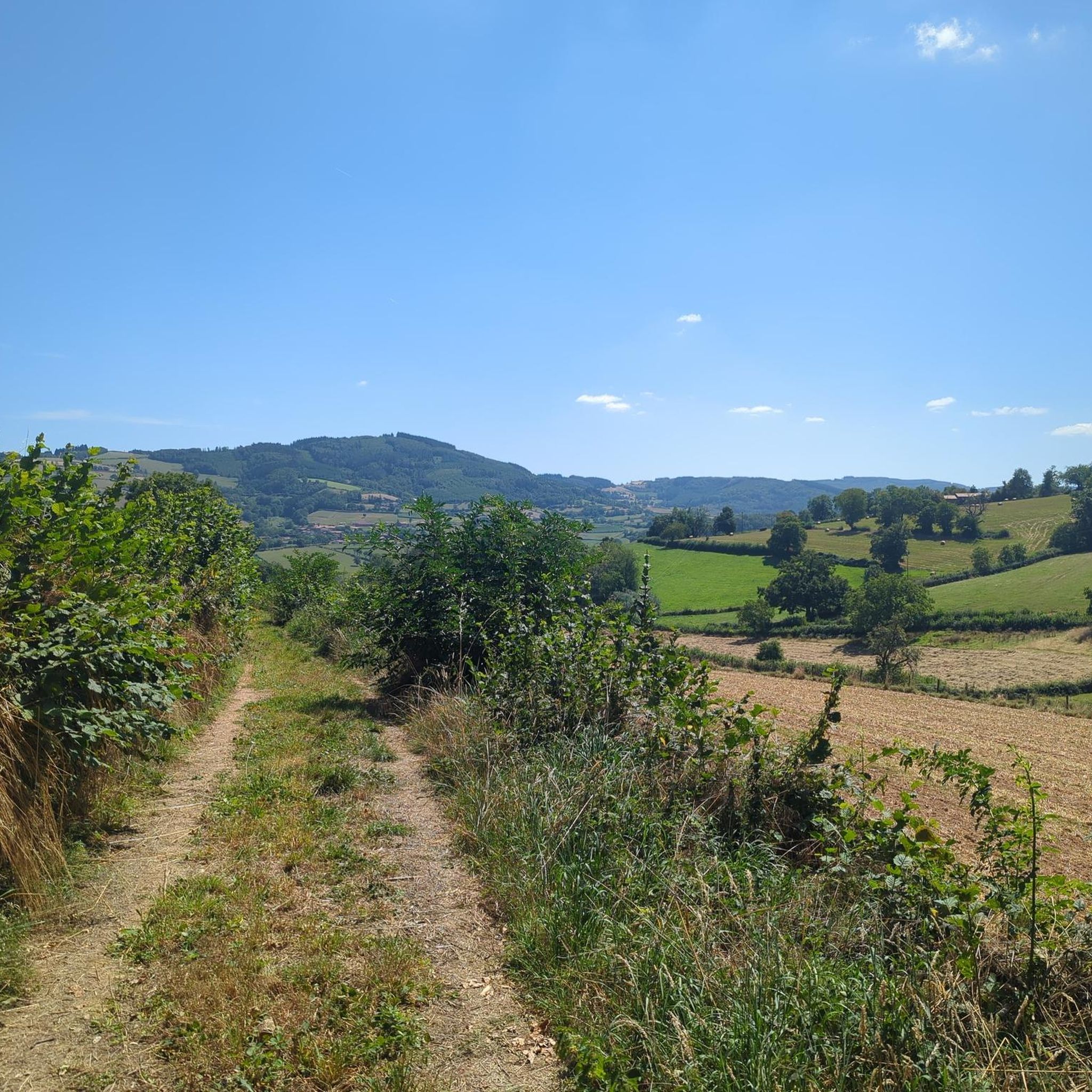
Great landscape panorama at Bois Berthaud, a popular nature and hiking area in Burgundy (France), located in the hills of the Mâconnais or Beaujolais region. The area is characterized by vast, green hill ranges, calf and cow pastures, as well as wooded sections. From the ridges around Bois Berthaud, there is a sweeping panoramic view of the surrounding countryside.
1
0
The lake is located in the French region of Bourgogne-Franche-Comté, in the département of Doubs, at an altitude of around 850 meters. After Lac du Bourget and Lac d'Annecy, it is the third largest natural lake in France. It is a very popular swimming lake in the summer and offers opportunities for kayaking, windsurfing, and stand-up paddling. There is also a popular hiking trail around the entire lake, approximately 20 kilometers long.
1
0
The lake is located in the Doubs department in the French region of Bourgogne-Franche-Comté at an altitude of around 850 meters. After Lac du Bourget and Lac d'Annecy, it is the third largest natural lake in France. It is a very popular lake for swimming in the summer and offers opportunities for kayaking, windsurfing, and stand-up paddling. There is also a popular hiking trail around the entire lake, approximately 20 kilometers long.
1
0
The Château de Berzé-le-Châtel (also Forteresse de Berzé) is the largest and best-preserved medieval castle in Southern Burgundy. The complex dates back to a 10th-century castrum and was strategically built on a rocky outcrop to protect the nearby powerful Abbey of Cluny. The fortress consists of three ring walls and has 13 towers (including two keeps/donjons) as well as an imposing gatehouse. The centerpiece inside is a remarkable Carolingian chapel.
0
0
The Castle of Berzé-le-Châtel (also known as Forteresse de Berzé) is the largest and best-preserved medieval castle in Southern Burgundy. The complex dates back to a 10th-century castrum and was strategically built on a rocky outcrop to protect the nearby powerful Abbey of Cluny. The fortress consists of three ring walls and features 13 towers (including two keeps/donjons) as well as an imposing gatehouse. The heart of the interior is a remarkable Carolingian chapel.
1
0
The Voie Verte de Bourgogne du Sud is France's oldest car-free rail-trail cycle path. It runs for almost 70 kilometers through the vineyards and hills of southern Burgundy between the towns of Chalon-sur-Saône and Mâcon.
1
0
Frequently Asked Questions
How many gravel bike trails are available around Saint-Léger-Sous-La-Bussière?
There are 5 gravel bike routes documented around Saint-Léger-Sous-La-Bussière, offering a mix of moderate and difficult options for exploration.
Are there any beginner-friendly gravel bike trails in the area?
While the routes listed tend towards moderate to difficult, the region's greenways offer smoother sections. For a moderate challenge, consider the Berthaud Wood – Lake Saint-Point loop from Tramayes, which provides a good mix of terrain without extreme difficulty.
What is the typical duration for a gravel bike ride in Saint-Léger-Sous-La-Bussière?
Most gravel bike routes in this area range from approximately 1 hour 30 minutes to 2 hours 15 minutes to complete. For example, the Saint-Blaise Romanesque church loop from Mazille typically takes about 1 hour 45 minutes.
Are there any loop gravel bike routes available?
Yes, all the featured gravel bike routes around Saint-Léger-Sous-La-Bussière are designed as loops. This includes the Lamartine House – Greenway of Southern Burgundy loop from Pierreclos, allowing you to start and finish at the same point.
What kind of terrain can I expect on gravel bike trails here?
The terrain is generally undulating, featuring a mix of rural roads, dedicated greenways, and wooded paths. You'll encounter rolling hills and sections through forests like Berthaud Wood, providing varied surfaces for gravel cycling.
What are some scenic highlights or points of interest along the gravel routes?
Many routes pass through picturesque landscapes. You can explore historical sites like Lamartine House or enjoy views of Tramayes. The region also features several mountain passes such as Col de la Grange du Bois and Col de la Sibérie, offering elevated perspectives.
What is the best time of year for gravel biking in Saint-Léger-Sous-La-Bussière?
The region is generally pleasant for cycling from spring through autumn. While specific weather conditions vary, these seasons typically offer milder temperatures and more stable conditions for enjoying the mixed terrain.
What do other gravel bikers say about the trails in this area?
The gravel biking routes around Saint-Léger-Sous-La-Bussière are well-regarded by the komoot community, holding an average rating of 3.0 stars. Riders appreciate the varied terrain, from greenways to wooded sections, and the opportunities to explore both natural and historical sites.
Are there any challenging routes for advanced gravel bikers?
Yes, there are several routes classified as difficult. The Lamartine House – Greenway of Southern Burgundy loop from Pierreclos, for instance, involves significant elevation gain and covers 23.6 km, providing a robust challenge for experienced riders.
Where can I find parking for gravel biking in Saint-Léger-Sous-La-Bussière?
Many routes start from villages or towns like Pierreclos, Tramayes, or Mazille, which typically offer public parking options. It's advisable to check the specific starting point of your chosen route for the most convenient parking facilities.
Are there any routes that pass by cafes or places to refuel?
While specific cafes are not highlighted on every route, starting points in villages like Tramayes or Mazille often have local amenities where you can find refreshments before or after your ride. Planning your route with a stop in a larger settlement is recommended.
Most popular routes around Saint-Léger-Sous-La-Bussière
Most popular attractions around Saint-Léger-Sous-La-Bussière

Get inspired with the komoot mobile app


Explore more
Browse the best Gravel rides in other regions.
