The best road cycling routes around Saint-Léger-Sous-La-Bussière
4.8
(35)
866
riders
134
rides
Road cycling routes around Saint-Léger-Sous-La-Bussière traverse a rural commune in the Bourgogne-Franche-Comté region of France, situated in Saône-et-Loire. The area features diverse landscapes, with altitudes ranging from 300 to 550 meters and numerous forests. It lies near the Morvan Regional Natural Park, offering a blend of pastoral and more rugged terrain suitable for road cycling.
Best road cycling routes around Saint-Léger-Sous-La-Bussière
- The most popular road cycling route is Tramayes – Lake Saint-Point loop from Trambly, an 19.0 miles (30.6…
Last updated: July 15, 2026
62
riders
30.6km
01:21
270m
270m
Easy road ride. Great for any fitness level. Mostly well-paved surfaces and easy to ride.
5.0
(2)
18
riders
51.6km
02:30
760m
760m
Moderate road ride. Good fitness required. Mostly well-paved surfaces and easy to ride.

Sign up for free
5.0
(1)
12
riders
41.4km
01:56
540m
540m
Moderate road ride. Good fitness required. Mostly well-paved surfaces and easy to ride.
8
riders
64.8km
03:04
830m
830m
Moderate road ride. Good fitness required. Mostly well-paved surfaces and easy to ride.
5.0
(1)
8
riders
40.1km
02:11
840m
840m
Moderate road ride. Good fitness required. Mostly well-paved surfaces and easy to ride.
Get access to more routes and recommendations from other explorers.
Sign up for free
Already have an account?
Our route recommendations are based on thousands of hikes, rides, and runs completed by other people on komoot.
Start today with a free account
Your next adventure awaits.
Login or Signup
Tips from the Community

The Rock of Solutré is a world-famous, 493-meter-high limestone rock in the south of the Burgundy region. It is located amidst the picturesque vineyards of the municipality of Solutré-Pouilly. The region is officially designated as a Grand Site de France. The hike to the summit is easy to moderate and very doable for families. It takes about 1 hour for the entire loop (approx. 4 kilometers round trip). The elevation gain is around 100 to 140 meters from the official parking lot on well-maintained paths with information panels, although there are many steps.
1
0
Although the pass is located in France and is not extremely high, its name translates to "Siberia Pass". The name goes back to the often very cold, snow-rich winds and the harsh weather conditions in winter.
1
0
The Château de Saint-Point (also known as Château de Lamartine) in the Burgundy region originally dates from the 12th and 14th centuries. From 1820, it served as the residence for the famous French poet and politician Alphonse de Lamartine. Lamartine had the castle restored in the Anglo-Gothic style, which gives it its distinctive, romantic appearance with the round corner towers. It is a listed monument and can be visited as a museum.
1
0
The lake is located in the Doubs department in the French region of Bourgogne-Franche-Comté at an altitude of around 850 meters. After Lac du Bourget and Lac d'Annecy, it is the third largest natural lake in France. It is a very popular lake for swimming in the summer and offers opportunities for kayaking, windsurfing, and stand-up paddling. There is also a popular hiking trail around the entire lake, approximately 20 kilometers long.
1
0
The Col de Gerbet (612 m) is an idyllic mountain pass in the French wine-growing region of Beaujolais. Depending on the starting point, various roads with little traffic lead up to the pass via the D137. From Juliénas (south-east approach): This route is 7.3 kilometers long. It overcomes 342 meters of altitude with a steady, moderate gradient of 4.7% on average. The road winds through shady forest sections. From La Croix Blanche (west approach): A tougher variant 4.5 kilometers long. Here you conquer 270 meters of altitude with an average gradient of 6% and ramps of up to 11%.
1
0

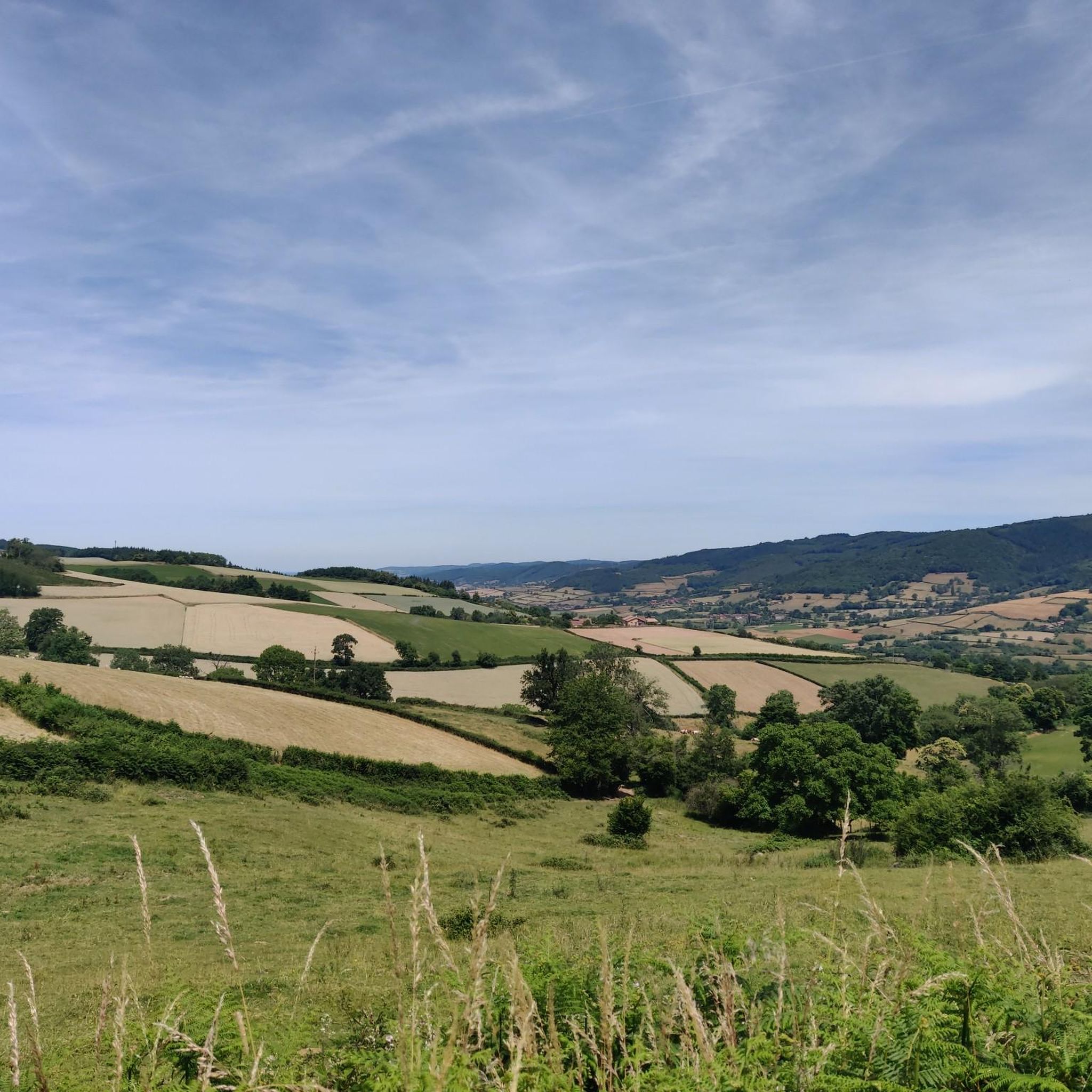
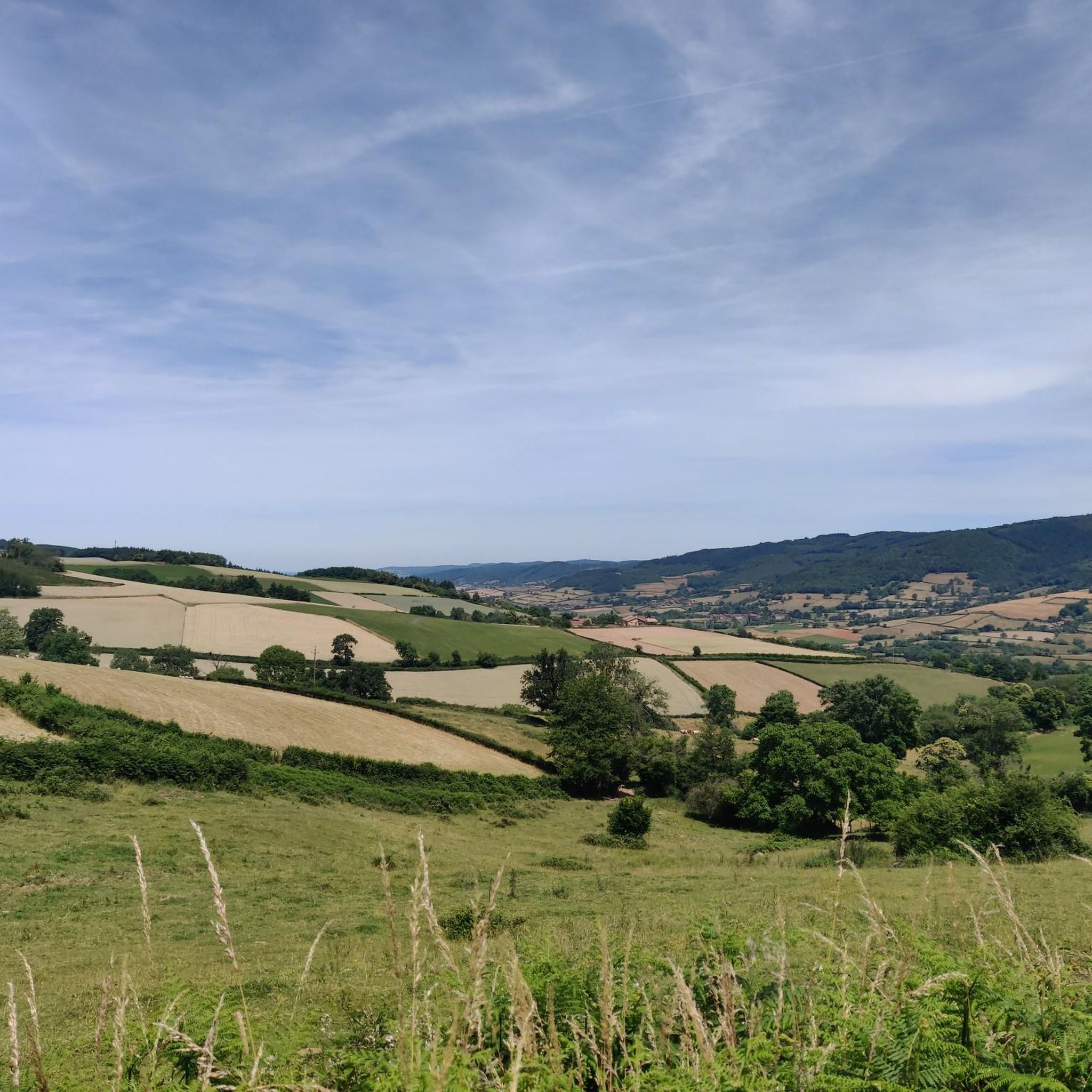
From here, you face a typical panorama of the Haut-Beaujolais with large, rolling meadows, dotted with wooded groves and highlighted by the region's highest peaks.
0
0

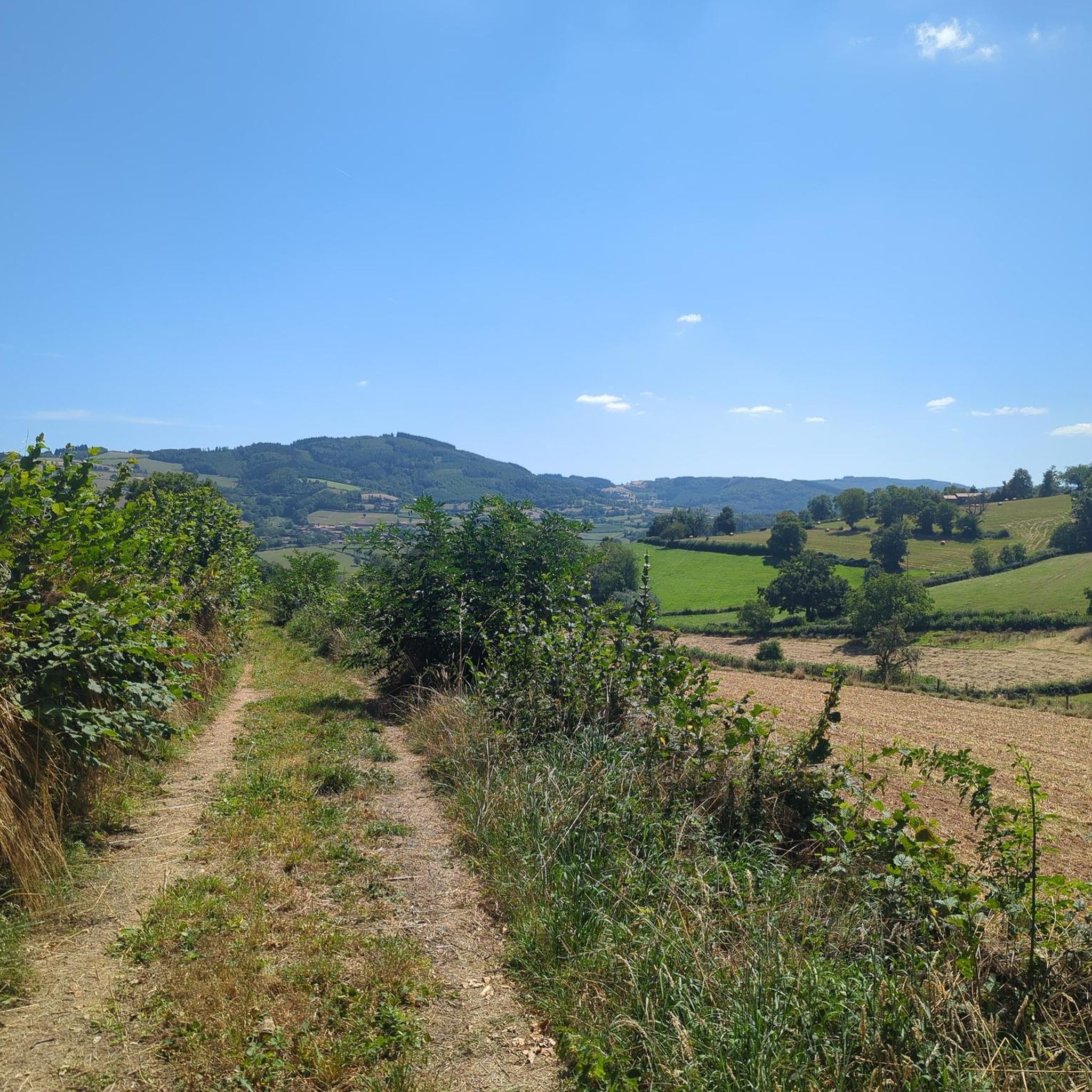
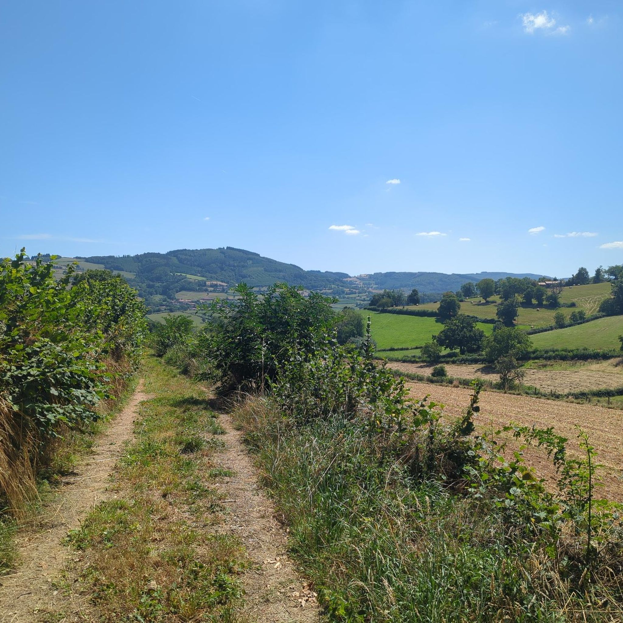
Gentle slope in a stunningly beautiful setting...
0
0

Frequently Asked Questions
How many road cycling routes are available around Saint-Léger-Sous-La-Bussière?
There are over 140 road cycling routes in the Saint-Léger-Sous-La-Bussière area, offering a wide variety of options for different skill levels and preferences.
What is the best time of year for road cycling in this region?
Spring and autumn are considered the best times for road cycling around Saint-Léger-Sous-La-Bussière. The weather is mild, and the landscapes are particularly vibrant with colors during these seasons.
Are there road cycling routes suitable for beginners?
Yes, the region offers several easy road cycling routes. For instance, the Tramayes – Lake Saint-Point loop from Trambly is an easy 30.6 km trail that provides scenic views of Lake Saint-Point and the surrounding countryside.
Are there challenging road cycling routes for experienced cyclists?
Absolutely. The area, particularly near the Morvan Regional Natural Park, features more demanding ascents and routes with significant elevation gain. There are over 50 difficult routes available for those seeking a challenge.
Can I find circular road cycling routes in the area?
Many of the road cycling routes around Saint-Léger-Sous-La-Bussière are circular, allowing you to start and end at the same point. Examples include the Lake Saint-Point – Lake Saint-Point loop from Saint-Pierre-le-Vieux and the Tramayes loop from Tramayes.
What kind of scenery can I expect on road cycling routes near Saint-Léger-Sous-La-Bussière?
You can expect diverse scenery, ranging from pastoral landscapes and extensive forests to rolling hills and picturesque views of the Grosne River. The proximity to the Morvan Regional Natural Park means stunning natural beauty, including mountain lakes and tranquil plains.
Are there any notable landmarks or attractions to see along the road cycling routes?
Yes, the region is rich in historical and natural attractions. You might pass by the vestiges of a feudal castle at La Bussière, a 12th-century Romanesque church, or enjoy views of beautiful mountain lakes like Lac de Saint-Point. Nearby attractions also include the Lamartine House and the charming settlement of Tramayes.
Where can I find routes with panoramic viewpoints?
Many routes offer scenic viewpoints, especially those that traverse higher elevations or mountain passes. The Tramayes – Panorama loop from Tramayes is specifically designed to offer panoramic views of the surrounding landscape.
Are there road cycling routes that feature mountain passes?
Yes, the area is known for its mountain passes, which provide both challenging climbs and rewarding views. Routes like the Col de Crie, 622 m – Champ Juin Pass - 742 m loop from Tramayes will take you through notable passes such as Col de Crie and Col de la Sibérie.
Is parking available near the starting points of road cycling routes?
While specific parking information for every route is not always detailed, starting points in villages like Tramayes or Saint-Pierre-le-Vieux typically offer public parking options suitable for cyclists. It's advisable to check local signage upon arrival.
What do other road cyclists appreciate most about the routes here?
The road cycling routes around Saint-Léger-Sous-La-Bussière are highly rated by the komoot community, with an average score of 4.8 stars from over 30 reviews. Cyclists often praise the varied terrain, from easy loops around lakes to challenging climbs through mountain passes, and the beautiful, tranquil scenery of the Morvan Regional Natural Park.
Are there routes that pass by lakes or water features?
Yes, several routes incorporate the region's beautiful lakes. The Tramayes – Lake Saint-Point loop from Trambly and the Lake Saint-Point – Lake Saint-Point loop from Saint-Pierre-le-Vieux both offer scenic rides around Lac de Saint-Point, a prominent feature in the area.
Most popular routes around Saint-Léger-Sous-La-Bussière
Most popular attractions around Saint-Léger-Sous-La-Bussière

Get inspired with the komoot mobile app


Explore more
Browse the best Road cycling routes in other regions.
