The best walks and hikes around Le Mas-D'Artige
4.7
(7)
56
hikers
7
hikes
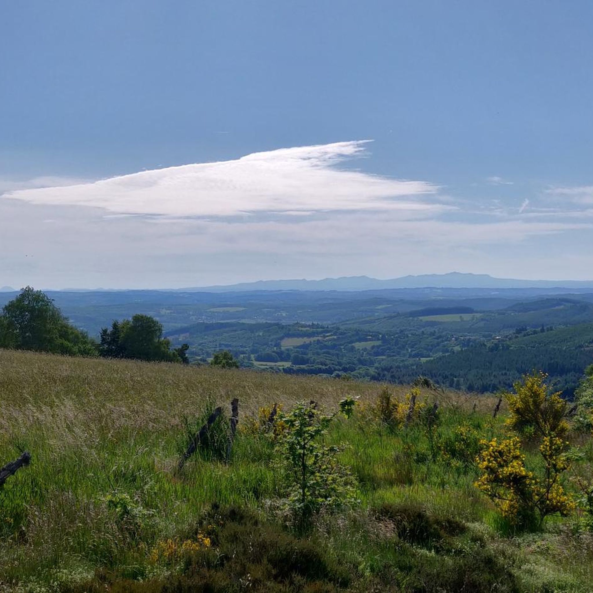
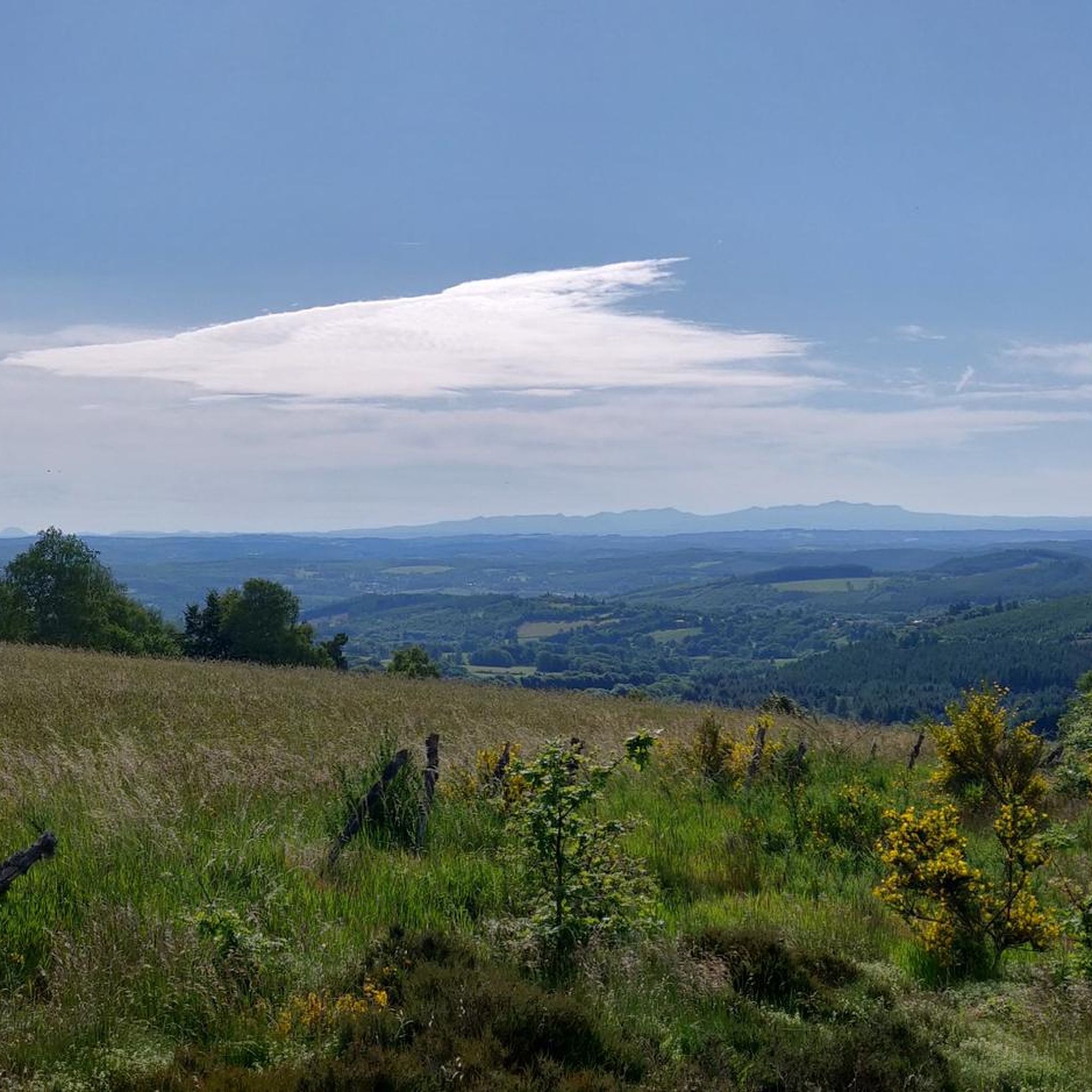
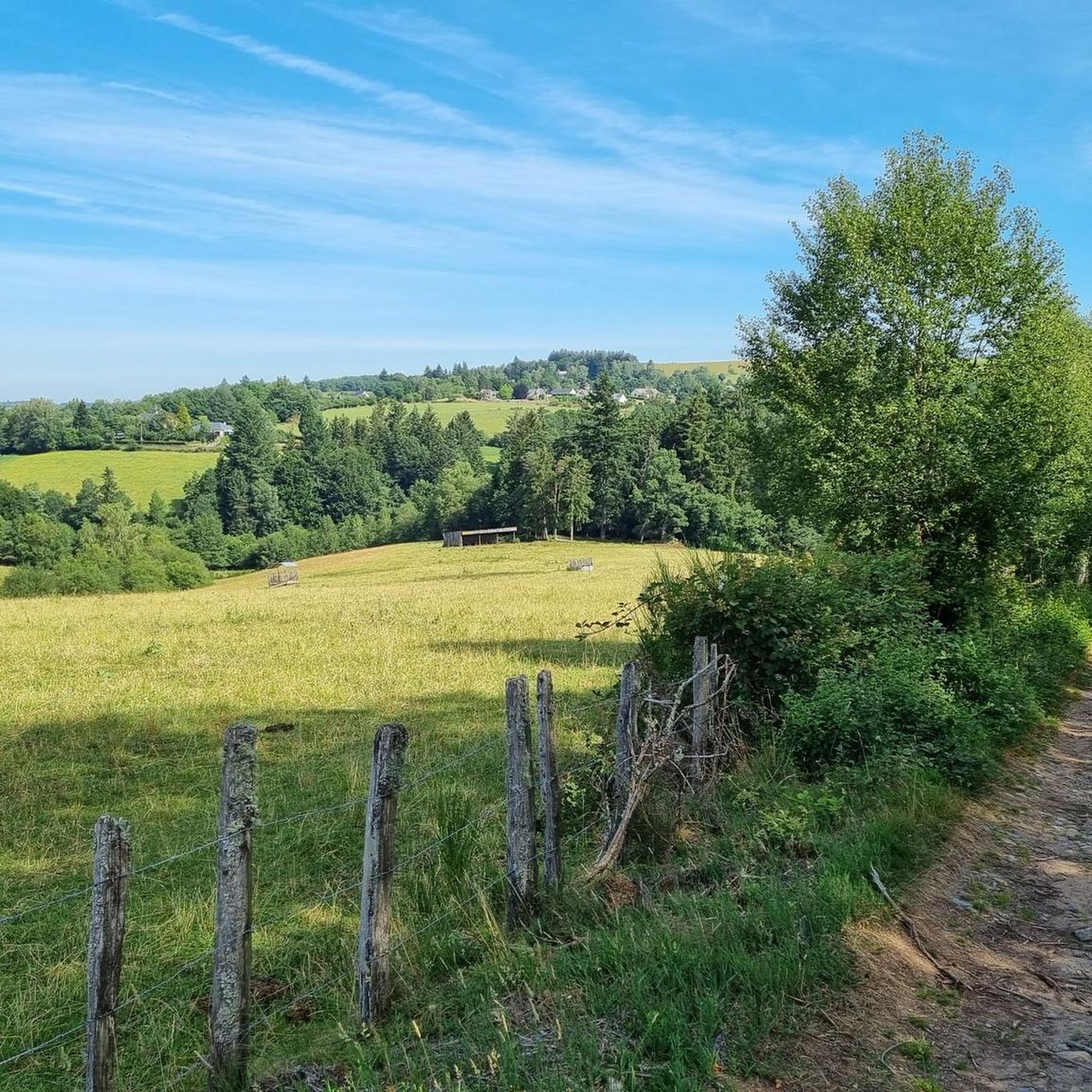
Hiking around Le Mas-D'Artige offers diverse natural landscapes within France's Nouvelle-Aquitaine region. The area features a blend of lakes, extensive forestry, and farming land, with elevations ranging from 686 to 921 meters. It is situated within the Regional Natural Park of Millevaches en Limousin, known for its varied topography including peaty areas, forests, moors, and bogs. The source waters of the River Creuse are also located here, adding a significant natural feature to the region.
Best hiking trails around Le…
Last updated: July 2, 2026
4.7
(3)
9
hikers
17.2km
04:43
280m
280m
Moderate hike. Good fitness required. Easily-accessible paths. Suitable for all skill levels.
11
hikers
3.80km
01:01
40m
40m
Easy hike. Great for any fitness level. Easily-accessible paths. Suitable for all skill levels.

Sign up for free
4
hikers
10.2km
02:46
140m
140m
Moderate hike. Good fitness required. Easily-accessible paths. Suitable for all skill levels.
5.0
(2)
6
hikers
7.41km
02:01
110m
110m
Moderate hike. Good fitness required. Easily-accessible paths. Suitable for all skill levels.
6
hikers
28.3km
07:47
460m
460m
Hard hike. Very good fitness required. Easily-accessible paths. Suitable for all skill levels.
Get access to more routes and recommendations from other explorers.
Sign up for free
Already have an account?
Our route recommendations are based on thousands of hikes, rides, and runs completed by other people on komoot.
Start today with a free account
Your next adventure awaits.
Login or Signup


Tips from the Community


Servières is a mysterious site where the granite rock is affected by both horizontal and vertical fracturing, dividing it into blocks several meters wide. The horizontal cracks (or joints) create a "millefeuille" appearance. Fifty meters away, the ruins of a mill are unmissable.
0
0

In a beautiful green site, the enclosure and the ruins of a Gallo-Roman villa from the beginning of our era are well highlighted by a few informative panels.
0
0
Frequently Asked Questions
How many hiking trails are available around Le Mas-D'Artige?
There are over 20 hiking trails around Le Mas-D'Artige, offering a variety of experiences. These include 4 easy routes, 14 moderate routes, and 3 more challenging options, ensuring there's something for every skill level.
What kind of landscapes can I expect to see while hiking near Le Mas-D'Artige?
The region around Le Mas-D'Artige is characterized by a diverse blend of natural landscapes. You'll encounter extensive forests, serene lakes, and traditional farming land. The area is part of the Regional Natural Park of Millevaches en Limousin, known for its varied topography including peaty areas, moors, bogs, and the source waters of the River Creuse.
Are there any easy or family-friendly hiking options in Le Mas-D'Artige?
Yes, there are several easy and family-friendly options. A particularly accessible trail is the "Les Sources de la Creuse" loop, a very easy 1 km walk that allows you to discover the river's origin amidst remarkable flora. For slightly longer, yet still manageable, routes, you can explore some of the 4 easy trails available in the area.
Can I find circular hiking routes in the area?
Many of the trails around Le Mas-D'Artige are designed as circular routes, allowing you to start and end at the same point. For example, the Étang de Grattadour loop from La Courtine is a popular moderate circular path offering views of the lake and woodlands.
What are some notable natural features or landmarks to explore on a hike?
A significant natural feature is the source of the River Creuse, located within Le Mas-D'Artige itself, offering a unique discovery. The wider area is part of the Plateau de Millevaches, a region of a thousand springs, featuring peaty areas, forests, moors, and lakes. You might also encounter larch and birch forests and legendary stones that add to the wild beauty of the landscape.
Is Le Mas-D'Artige suitable for dog-friendly walks?
Le Mas-D'Artige, with its extensive natural landscapes, forests, and open spaces, is generally very welcoming for dog walks. It's always recommended to keep dogs on a leash, especially near livestock or protected natural areas, and to follow local regulations regarding pet waste.
What is the best time of year to go hiking in Le Mas-D'Artige?
The best time for hiking in Le Mas-D'Artige is typically from spring through autumn. During these seasons, the weather is generally mild, and the diverse plant life of the region, including the flora around the River Creuse, is at its most vibrant. Autumn also offers beautiful fall foliage in the forests.
Are there any longer or more challenging hikes for experienced trekkers?
Yes, for experienced trekkers seeking a challenge, there are more difficult routes available. One such option is the Hiking loop from Lair, which spans over 28 km and involves significant elevation changes, making it a demanding yet rewarding experience.
What do other hikers enjoy the most about hiking in Le Mas-D'Artige?
The hiking routes in Le Mas-D'Artige are highly rated by the komoot community, with an average score of 4.4 stars. Hikers often praise the varied terrain, the quiet woodlands, and the beautiful lake views, such as those found on the Étang de Féniers – Puy de la Vesse loop from Féniers.
Is there parking available at the trailheads in Le Mas-D'Artige?
While specific parking details for every trailhead are not always listed, Le Mas-D'Artige is a small commune, and parking is generally available in or near the village centers from where many trails depart. For routes starting further afield, it's advisable to check local signage or maps for designated parking areas.
Are there any places to eat or stay overnight in Le Mas-D'Artige or nearby?
Le Mas-D'Artige is a small commune, but the wider Creuse department offers various options for accommodation and dining. You can find gîtes, chambres d'hôtes (bed and breakfasts), and small restaurants in nearby villages. For more comprehensive services, larger towns in the Nouvelle-Aquitaine region are accessible by car.
What is the elevation range for hikes around Le Mas-D'Artige?
The terrain around Le Mas-D'Artige offers a varied elevation range, from 686 meters (2,251 ft) to 921 meters (3,022 ft). This means hikes can range from relatively flat paths to those with significant ascents and descents, providing diverse experiences for different fitness levels.
Most popular routes around Le Mas-D'Artige

Get inspired with the komoot mobile app


Explore more
Browse the best Hikes in other regions.
