The best gravel rides around La Croix-De-La-Rochette
4.7
(8)
45
riders
7
rides
Gravel biking around La Croix-De-La-Rochette offers diverse terrain within the Val Gelon, characterized by elevations ranging from 350 meters in the valley to 850 meters at its highest points. The landscape features lush forests, the meandering Seille river, and distinctive limestone rock formations. Cyclists can experience varied topography, transitioning from agricultural areas to alpine scenery, with views of the Bauges, Belledonne, Chartreuse, and Vercors mountain ranges.
Best gravel bike trails around La Croix-De-La-Rochette
- The most popular gravel bike trail is…
Last updated: July 15, 2026
5.0
(2)
5
riders
31.8km
01:58
270m
270m
Moderate gravel ride. Good fitness required. Mostly paved surfaces. Suitable for all skill levels.
5.0
(1)
5
riders
37.7km
02:48
940m
930m
Hard gravel ride. Very good fitness required. You may need to push your bike for some segments of this route.

Sign up for free
5.0
(2)
6
riders
89.6km
06:19
1,860m
1,860m
Hard gravel ride. Very good fitness required. Mostly paved surfaces. Suitable for all skill levels.
4
riders
48.7km
03:16
720m
720m
Hard gravel ride. Very good fitness required. Mostly paved surfaces. Suitable for all skill levels.
8
riders
Moderate gravel ride. Good fitness required. Mostly paved surfaces. Suitable for all skill levels.
Get access to more routes and recommendations from other explorers.
Sign up for free
Already have an account?
Our route recommendations are based on thousands of hikes, rides, and runs completed by other people on komoot.
Start today with a free account
Your next adventure awaits.
Login or Signup



Tips from the Community

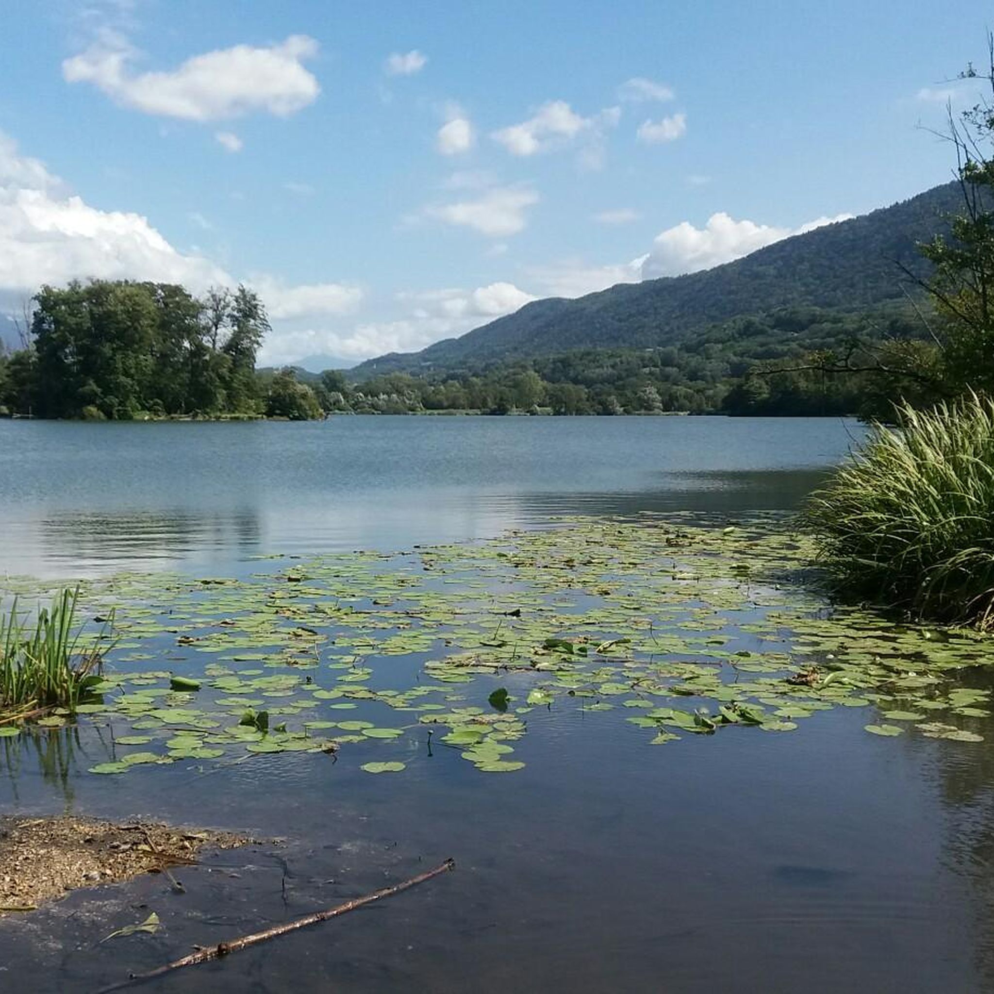
Ideally located along the Bella Via about fifteen kilometers from Albertville, cyclists can stop to refill their bottles and cool off. Other activities such as fishing or tennis are also practiced here. Surrounding massifs: Bauges to the north, Belledonne and Vanoise to the south
0
0

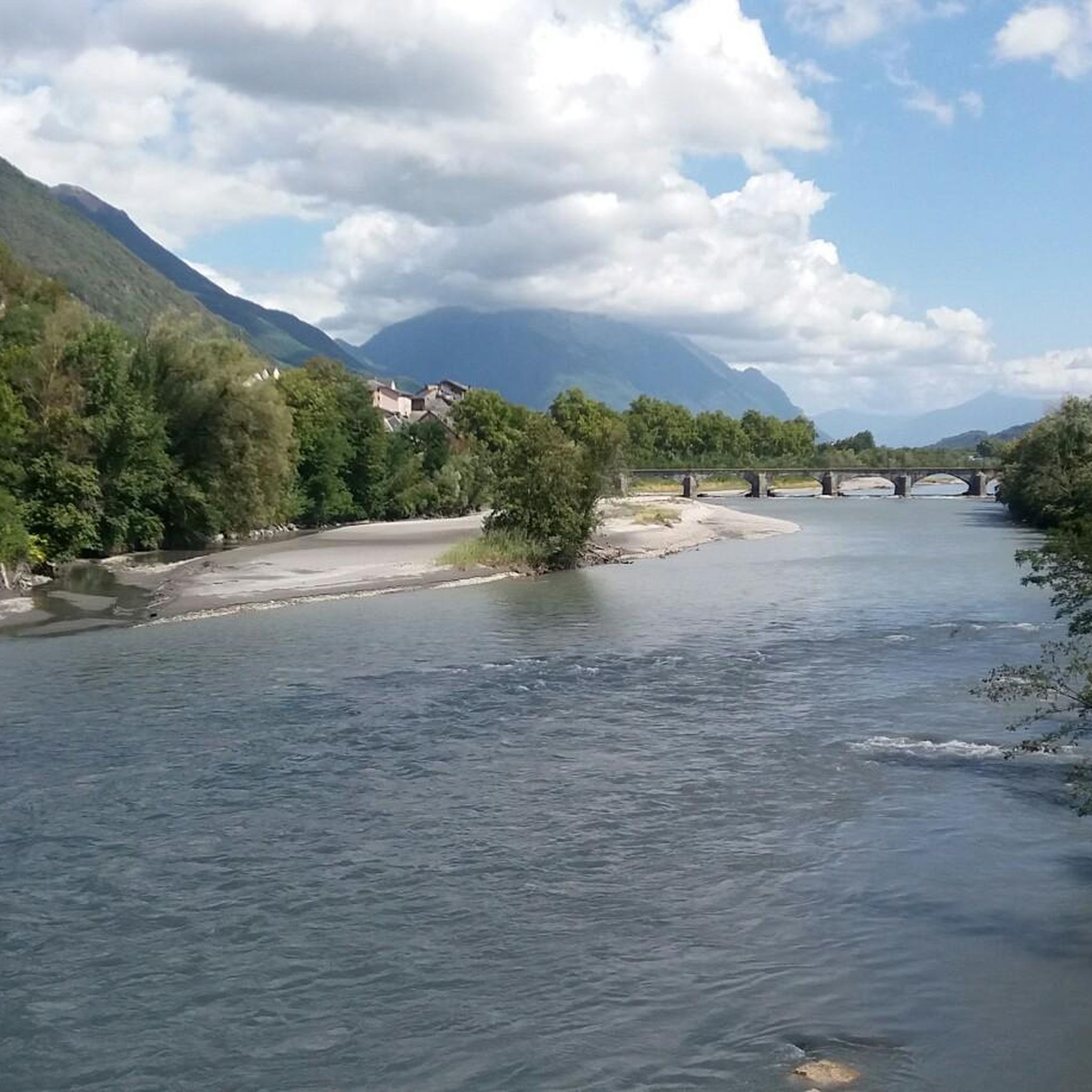
Nice little pass, quiet road, great views.
2
0
Nice little place shortly before the last ascent to Col des Pres. Church, bar and fountain.
2
0

Surrounded by mountains, a castle, vineyards, fields, and streams, what more could you ask for
0
0

The place is clean and pleasant. There's room for everyone: fishermen, walkers, swimmers, cyclists...
0
0
The place is nice and clean. Ideal for fishing and plenty of room for swimming. A greenway runs alongside the pond...
0
0

True location of the Pass, arrival marker and sign at the summit.
1
0

strange monument erected in honor of Mr. Ernest Doudart, who distinguished himself in Indochina
0
0
Frequently Asked Questions
How many gravel bike trails are available around La Croix-De-La-Rochette?
There are over 10 gravel bike routes available in the La Croix-De-La-Rochette area, offering a diverse range of experiences for all skill levels.
What kind of terrain can I expect on gravel bike trails in La Croix-De-La-Rochette?
The terrain around La Croix-De-La-Rochette is quite varied, ranging from 350 to 850 meters in elevation. You'll encounter lush green forests, the meandering Seille river, distinctive limestone rock formations, and agricultural landscapes. Routes often feature a mix of gravel sections, riverbanks, and dense woodlands, transitioning towards alpine scenery.
Are there any easy gravel bike routes for beginners or families?
Yes, there are options suitable for beginners and families. For an easier ride, consider the Gravel loop from Montmélian, which is 27.2 km long and features minimal elevation gain, often completed in under two hours.
What are some challenging gravel bike routes for experienced riders?
For experienced riders seeking a challenge, routes like the Col du Frêne (950 m) – Col du Frêne (950 m) loop from Montmélian, spanning over 100 km with significant elevation, or the Marocaz Pass – Col du Frêne (950 m) loop from Sainte-Hélène-du-Lac, which covers 90 km with over 1800 meters of ascent, offer demanding rides.
What natural features or landmarks can I see along the gravel bike trails?
Many routes offer panoramic vistas of prominent mountain ranges such as the Bauges, Belledonne, Chartreuse, and Vercors, with the chance to spot Mont Blanc on clear days. You can also explore various mountain passes like Marocaz Pass or Col de Cochette (587 m). Additionally, viewpoints like Watch Rock and View of the Combe de Savoie provide stunning scenery.
Are there any circular gravel bike routes?
Yes, many of the gravel routes in the area are circular. For example, the popular Bike path – View of Château de Miolans loop from Pontcharra-sur-Bréda - Allevard is a 65 km loop, and the Des Lônes Pond – Lake Lône loop from Pontcharra-sur-Bréda - Allevard is a moderate 31.4 km circular path.
What is the best time of year for gravel biking in La Croix-De-La-Rochette?
The region's diverse landscapes, transitioning from vineyards to alpine scenery, make it enjoyable across multiple seasons. Spring and autumn generally offer pleasant temperatures and vibrant scenery. While specific winter conditions are not detailed, the presence of mountain passes suggests that higher elevations might be challenging or inaccessible during colder months.
What do other gravel bikers enjoy most about gravel biking in La Croix-De-La-Rochette?
The area is highly rated by the komoot community, with an average score of 4.8 stars from more than 20 reviews. Riders often praise the varied terrain, from dense woodlands and riverbanks to panoramic mountain views, and the network's suitability for different ability levels.
Are there any routes that pass by lakes or ponds?
Yes, the Des Lônes Pond – Lake Lône loop from Pontcharra-sur-Bréda - Allevard is a moderate route that specifically winds through natural landscapes, including ponds and a lake, offering picturesque views.
Can I find routes with views of historical sites?
Yes, the Bike path – View of Château de Miolans loop from Pontcharra-sur-Bréda - Allevard offers views of the historic Château de Miolans. The commune of La Croix-De-La-Rochette itself is also home to a 13th-century fortified castle.
Is there public transport access to the gravel biking areas?
While specific public transport details for accessing trailheads directly from La Croix-De-La-Rochette are not provided, the town serves as a gateway to other attractions and towns like Chambery and Albertville, which likely have public transport connections. It's advisable to check local transport schedules for connections to the starting points of specific routes.
Are there options for long-distance gravel rides?
Absolutely. Several routes cater to longer distances, such as the Col du Frêne (950 m) – Col du Frêne (950 m) loop from Montmélian, which is over 100 km, and the Marocaz Pass – Col du Frêne (950 m) loop from Sainte-Hélène-du-Lac, covering 90 km, both offering extensive gravel biking experiences.
Most popular routes around La Croix-De-La-Rochette
Most popular attractions around La Croix-De-La-Rochette

Get inspired with the komoot mobile app


Explore more
Browse the best Gravel rides in other regions.
