The best running trails around La Croix-De-La-Rochette
4.5
(76)
3,879
runners
10
runs
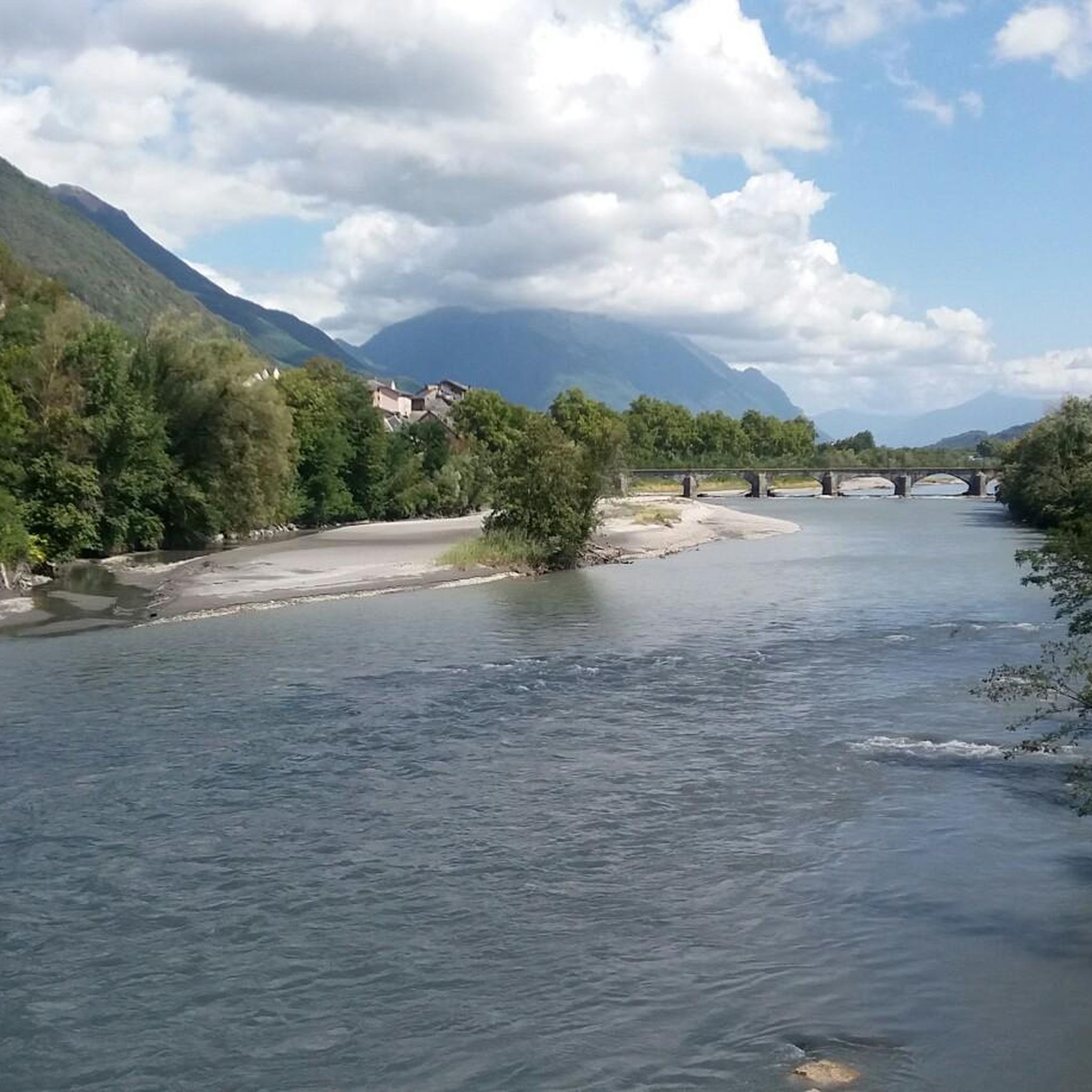
Jogging around La Croix-De-La-Rochette offers diverse landscapes within the Savoie department, characterized by its position within the Alpine Massif. The terrain features varied topography from 313 to 811 meters in elevation, encompassing valley floors and parts of Montraillant hill. Running routes often traverse dense woodlands, valleys, and provide views of prominent mountain ranges like Belledonne, Chartreuse, and Vercors. This varied environment provides options for different fitness levels, from gentler paths to more challenging ascents.
Best jogging routes around La Croix-De-La-Rochette
…Last updated: July 1, 2026
4.0
(1)
22
runners
Hard run. Very good fitness required. Sure-footedness, sturdy shoes and alpine experience required.
19
runners
Moderate run. Good fitness required. Mostly paved surfaces. Suitable for all skill levels.

Sign up for free
5.0
(1)
12
runners
24.4km
03:52
1,510m
1,510m
Hard run. Very good fitness required. Sure-footedness, sturdy shoes and alpine experience required.
4
runners
13.1km
01:23
110m
110m
Moderate run. Good fitness required. Mostly paved surfaces. Suitable for all skill levels.
5
runners
16.0km
01:58
580m
580m
Hard run. Very good fitness required. Mostly paved surfaces. Suitable for all skill levels.
Get access to more routes and recommendations from other explorers.
Sign up for free
Already have an account?
Our route recommendations are based on thousands of hikes, rides, and runs completed by other people on komoot.
Start today with a free account
Your next adventure awaits.
Login or Signup


Tips from the Community

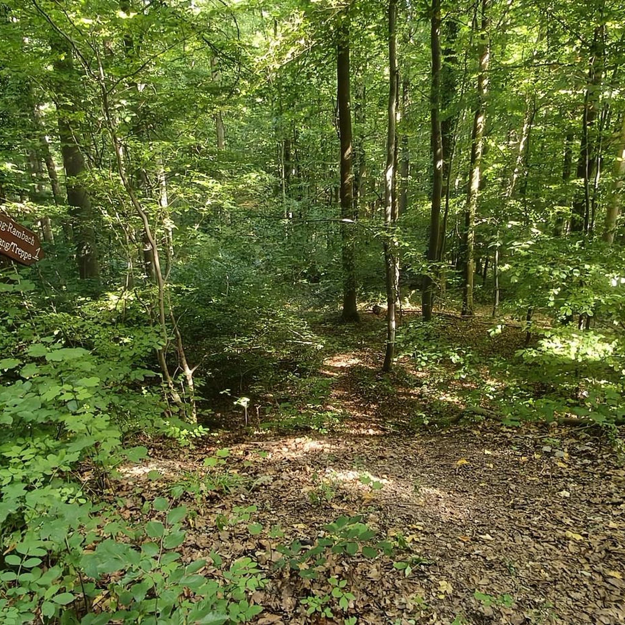
just magnificent, keep it secret or almost....
0
0

Le Bar des Alpes is a perfect place for a coffee break in La Rochette. At lunchtime, there is a generous menu!
0
0

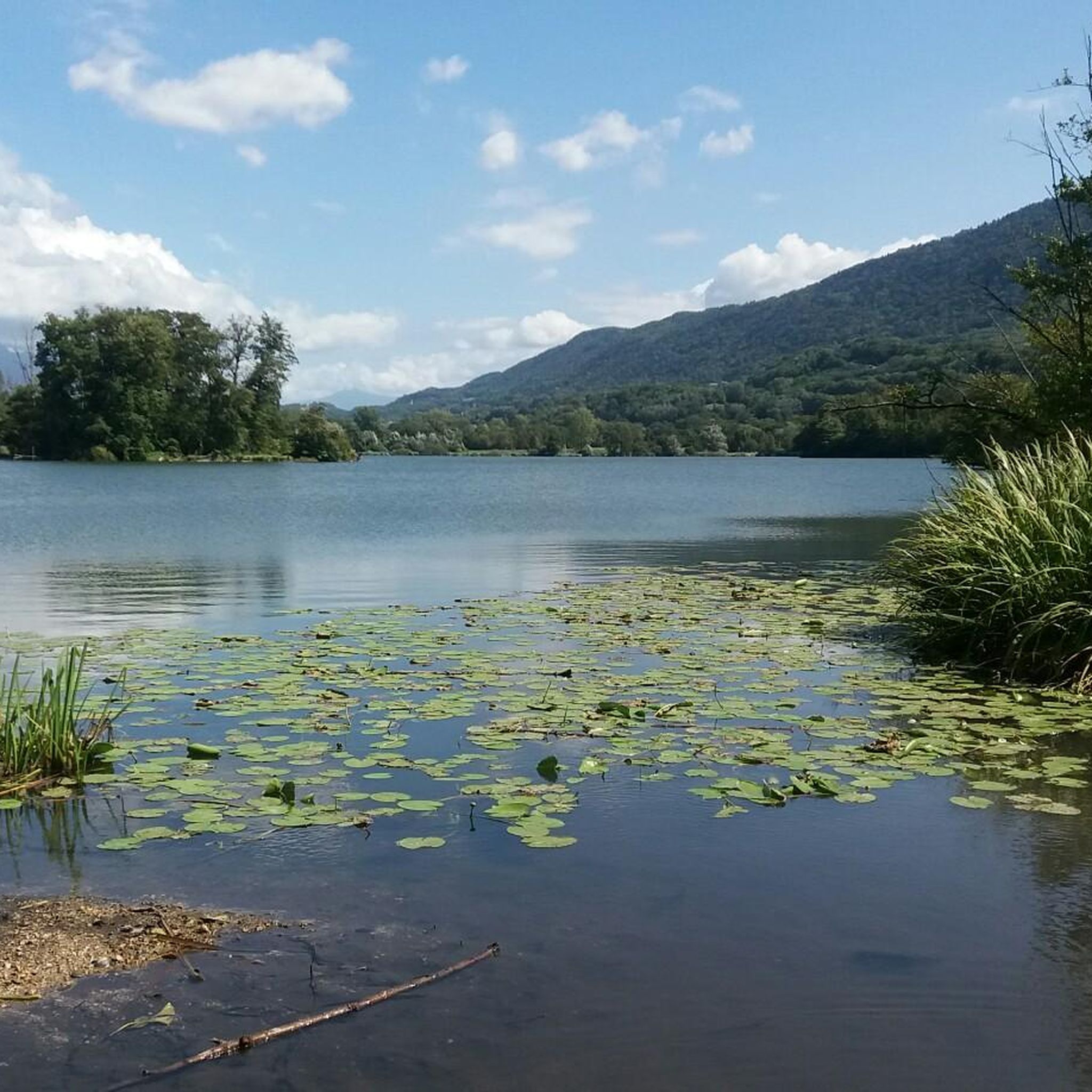
Lac Saint Clair is a small lake just outside La Rochette. There are plenty of places to have a picnic and enjoy the lake during the summer months.
1
0
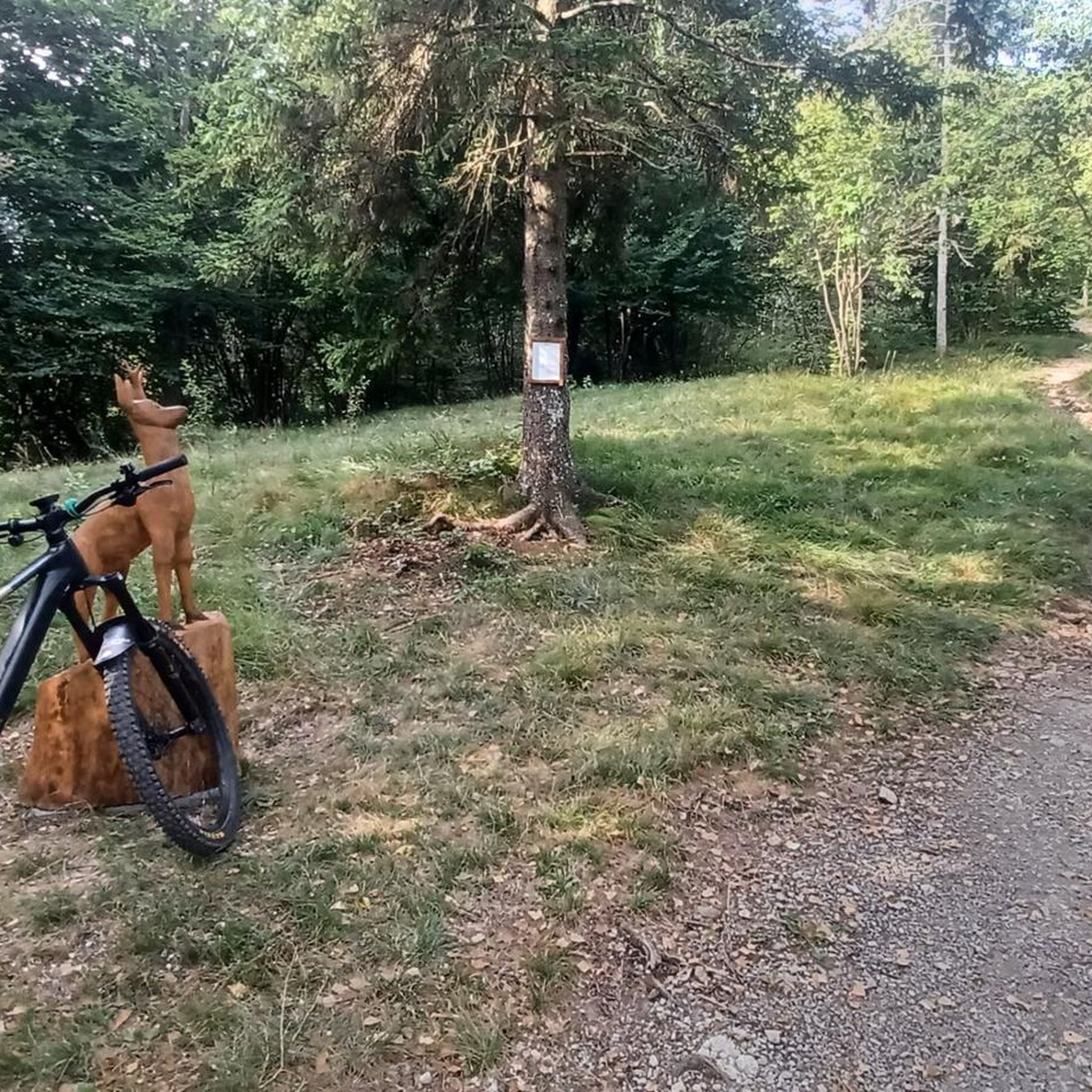
The Col de Cochette from La Trinité is 2.99 km long with a total drop of 237 m. The average gradient is 7.9% with maximum gradients of 10%. From Villard-d'Héry, it is 1.89 km with an average gradient of 7.8%. There is a total drop of 148m.
2
0
Frequently Asked Questions
How many running routes are available around La Croix-De-La-Rochette?
There are over 250 running routes in and around La Croix-De-La-Rochette, offering a wide variety of options for all fitness levels. This includes approximately 20 easy routes, over 130 moderate routes, and nearly 100 challenging trails.
What kind of terrain can I expect on the jogging trails in La Croix-De-La-Rochette?
The terrain around La Croix-De-La-Rochette is quite varied, ranging from 313 to 811 meters in elevation. You'll find paths through dense woodlands, along valleys, and up more challenging ascents that offer panoramic views of the Alpine Massif, including the Belledonne, Chartreuse, and Vercors mountain ranges.
Are there any running routes that offer scenic views or pass by natural landmarks?
Absolutely! Many routes provide stunning vistas. For example, the Col de Cochette (587 m) – Tours de Montmayeur loop offers views of the Montmayeur castle ruins and the Belledonne range. You can also find trails with panoramas extending to the Chartreuse and Vercors massifs. For specific natural monuments and viewpoints, consider exploring highlights like Watch Rock or the View of the Combe de Savoie.
Are there any running trails suitable for families or beginners?
Yes, there are several easier options. The region offers gentler paths, especially around lakes. For instance, the Lake Saint Clair – Bar des Alpes loop is a moderate 6.8 km path that includes a pleasant tour around Lac de Saint-Clair, providing scenic views over the Val Gelon and is suitable for those seeking a less strenuous run.
Can I bring my dog on the running routes around La Croix-De-La-Rochette?
While specific regulations for dogs on every trail are not detailed, generally, dogs are welcome on many outdoor trails in the region, especially if kept on a leash. It's always advisable to check local signage at trailheads for any specific restrictions, particularly in nature reserves or protected areas.
What do other runners say about the trails in La Croix-De-La-Rochette?
The running routes in La Croix-De-La-Rochette are highly regarded by the komoot community, holding an average rating of 4.4 stars from over 60 reviews. More than 4,000 runners have used komoot to explore the varied terrain, often praising the diverse landscapes, dense woodlands, and panoramic mountain views.
Are there any circular running routes available?
Yes, many of the routes are designed as loops, allowing you to start and finish in the same location. Examples include the popular Col de Cochette (587 m) – Tours de Montmayeur loop and the Lake Saint Clair – Bar des Alpes loop, both starting from La Croix-de-la-Rochette.
What are some longer or more challenging running options in the area?
For those seeking a more demanding run, the region offers several difficult trails. The Étang d'Arvillard loop from La Croix-de-la-Rochette is a challenging 23.25 km route with significant elevation gain, perfect for experienced runners looking for a sustained effort and rewarding views.
Are there any lakes or water features along the running trails?
Yes, the area features several beautiful lakes. The Lake Saint Clair – Bar des Alpes loop specifically takes you around Lac de Saint-Clair. Other notable lakes in the vicinity include Lac de Sainte Hélène and Lac de la Thuile, which may be accessible via other trails or offer scenic detours.
What is the best time of year for running in La Croix-De-La-Rochette?
The diverse landscapes of La Croix-De-La-Rochette make it suitable for running across multiple seasons. Spring and autumn offer pleasant temperatures and vibrant scenery, while summer provides longer daylight hours. Even winter can be beautiful, though some higher elevation trails might require appropriate gear or be less accessible due to snow.
Are there any historical sites or points of interest to see while running?
Yes, the region is rich in history and culture. The Col de Cochette (587 m) – Tours de Montmayeur loop allows you to discover the Montmayeur castle ruins. Additionally, some trails might pass by old slate quarries or small chapels, adding a touch of local heritage to your run.
Most popular routes around La Croix-De-La-Rochette
Most popular attractions around La Croix-De-La-Rochette

Get inspired with the komoot mobile app


Explore more
Browse the best Running Trails & Routes in other regions.
