The best running trails around Saint-Quentin-La-Chabanne
4.7
(7)
170
runners
32
runs
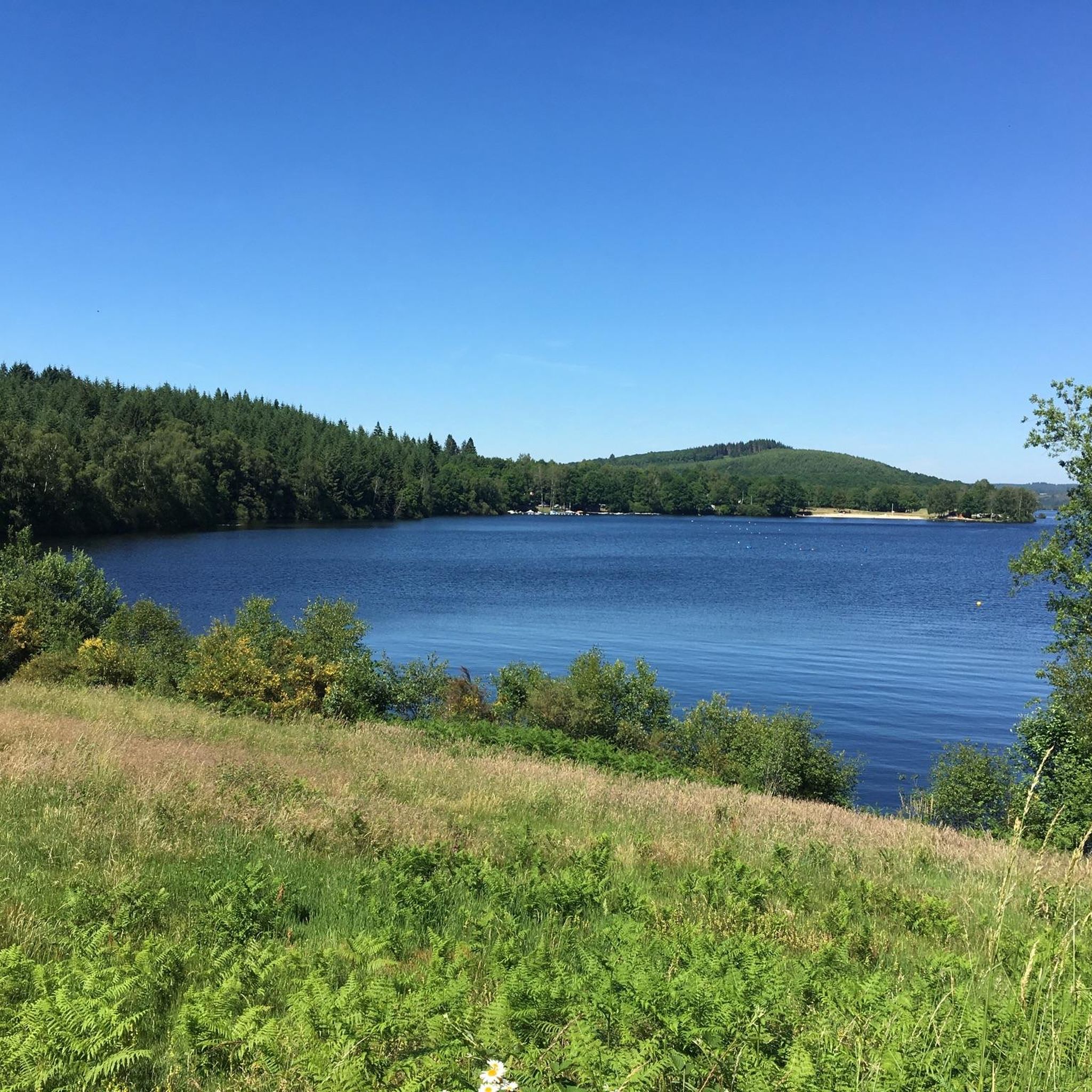
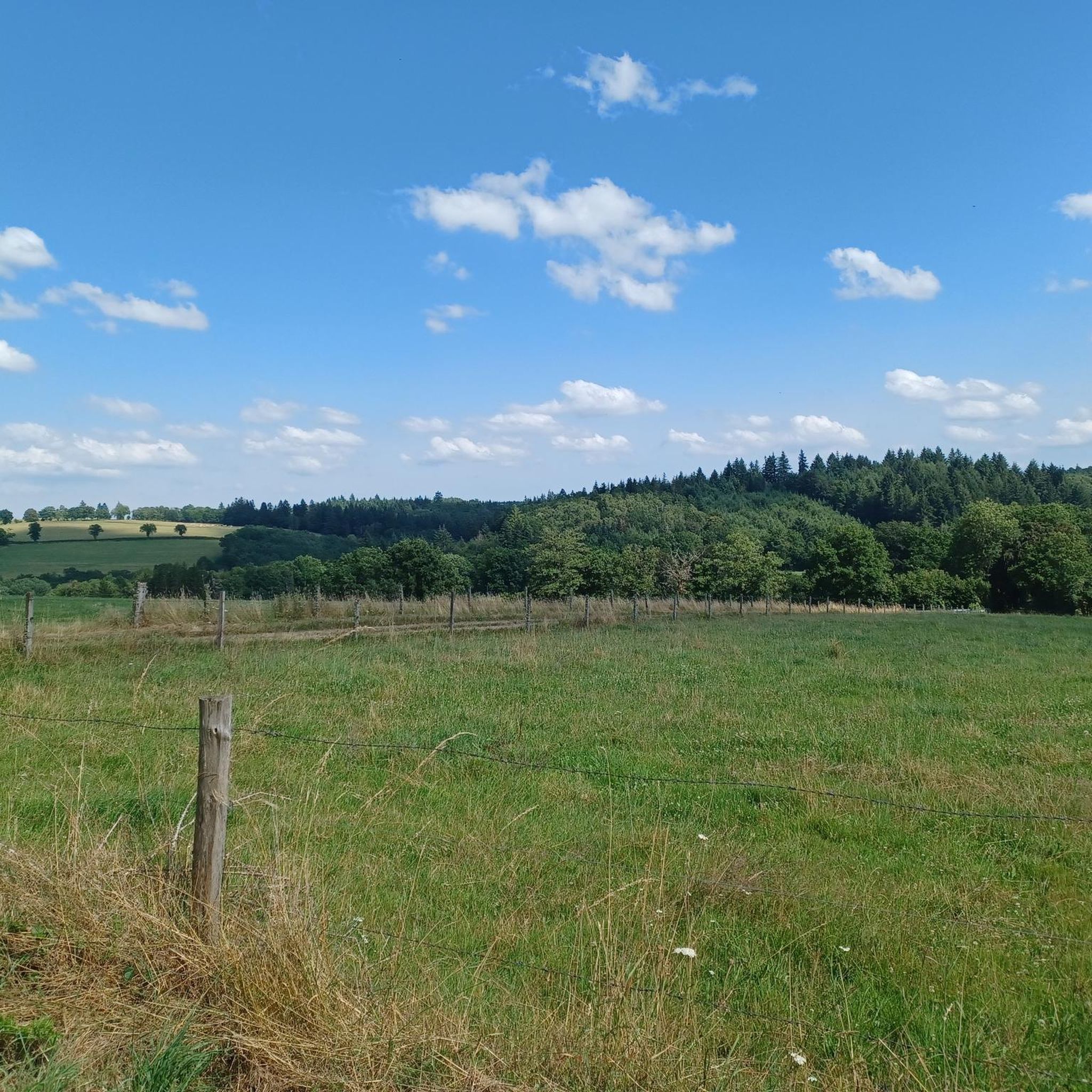
Jogging routes around Saint-Quentin-La-Chabanne traverse a mountainous plateau within the Parc Naturel Régional de Millevaches en Limousin, offering varied terrain for different fitness levels. The region features diverse forests, open meadows, and moorlands, with altitudes ranging from 460 to 811 meters. Joggers can explore scenic river valleys, including the Creuse River, and routes often provide views of the artificial Lake Vaud-Gelade and the distant Massif du Sancy.
Best jogging routes around Saint-Quentin-La-Chabanne
- The most popular jogging route is Running loop…
Last updated: July 1, 2026
37
runners
8.71km
01:01
170m
170m
Moderate run. Good fitness required. Mostly paved surfaces. Suitable for all skill levels.
38
runners
25.4km
03:01
700m
700m
Hard run. Very good fitness required. Mostly paved surfaces. Suitable for all skill levels.

Sign up for free
18
runners
7.66km
00:53
190m
190m
Moderate run. Good fitness required. Mostly paved surfaces. Suitable for all skill levels.
3.0
(1)
8
runners
7.17km
00:49
180m
180m
Moderate run. Good fitness required. Mostly paved surfaces. Suitable for all skill levels.
10
runners
6.13km
00:39
60m
60m
Moderate run. Good fitness required. Mostly paved surfaces. Suitable for all skill levels.
Get access to more routes and recommendations from other explorers.
Sign up for free
Already have an account?
Our route recommendations are based on thousands of hikes, rides, and runs completed by other people on komoot.
Start today with a free account
Your next adventure awaits.
Login or Signup

Tips from the Community

Overcrowded tourist village
0
0

Aubusson boasts several noteworthy buildings from the Middle Ages and more recent times. These include the clock tower from 1579, part of the town's fortifications. Aubusson also has museums dedicated to the production of tapestries and the Jean Lurçat Cultural Centre.
1
0
This old watchtower was integrated into the city's fortifications. Also called the "white tower", it is the last vestige of the enclosure that surrounded Aubusson. It was used to monitor movements in the city. On the facade of the tower, three dials facing the city indicate the time. It is easily recognizable with its pepperpot roof covered in chestnut shingles. It is decorated with a bell decorated with three small bas-reliefs: a mitred bishop.
2
0

This bridge is emblematic of Aubusson. Originally made of wood, it was essential for commercial exchanges on the road from Limoges to Clermont-Ferrand. It was rebuilt with stones from the castle (itself dismantled on the orders of Rochelieu). There remains a castle (from the 15th century) on the left bank, which formerly housed the archers in charge of the defense of the building.
1
0

Be careful if you have to go visit the museum, call before, they can close to the public without warning on the site.
0
0

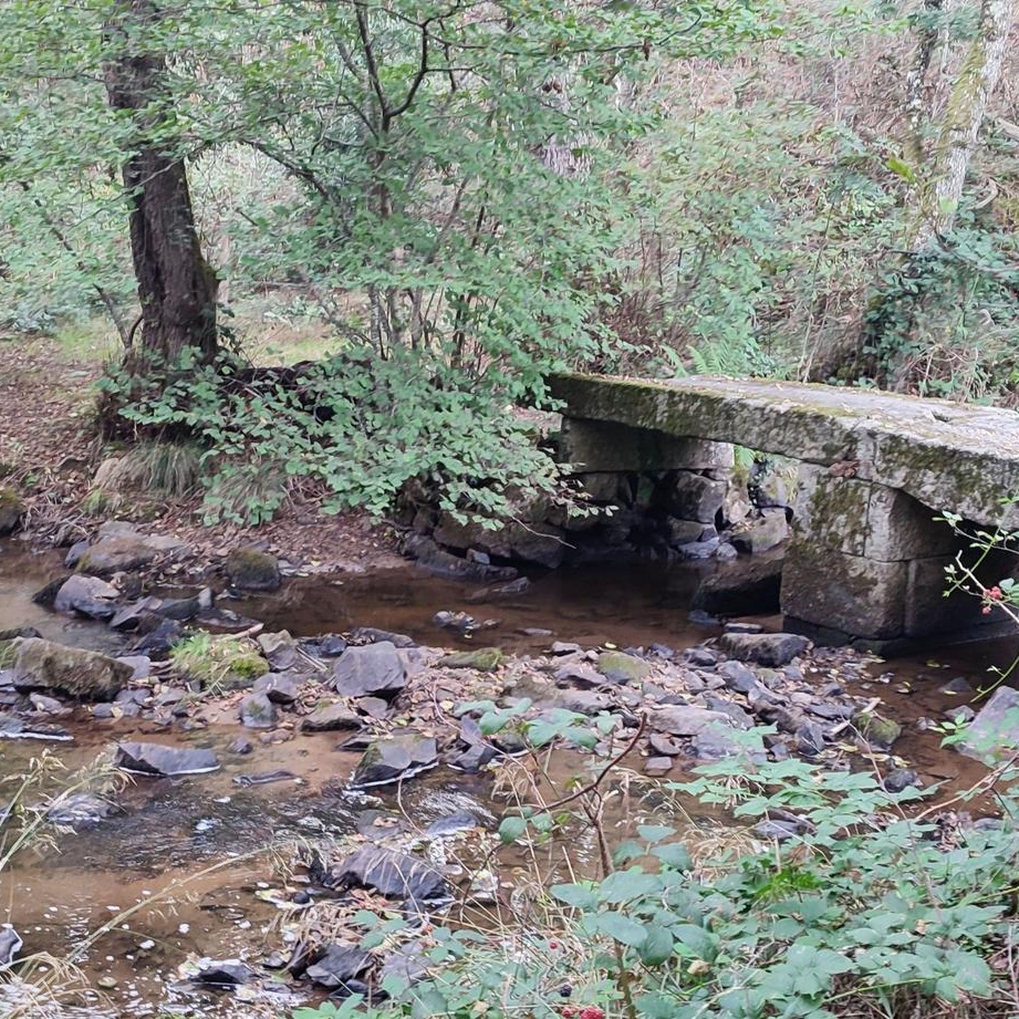
The Pont de la Terrade in Aubusson was until the 18th century, the only crossing point of the Creuse on the main road leading to Limoges. This passage was gradually abandoned in favor of the later, larger Récollets bridge. Thus the Terrade bridge remains today in a remarkable state of conservation. It has undergone very few modifications related to the development of modern transport. Originally made of wood, it is deployed across the river from a stone pile. Natural rot, bad weather and the importance of the Creuse wines, the bridge became dangerous due to its dilapidated state despite various repairs from the middle of the 16th century. The need for reconstruction is felt. It was replaced by a stone bridge built between 1638 and 1641 with materials from the ruins of the old medieval castle of the first Viscounts of Aubusson, the Chapter. This Huguenot defensive stronghold was destroyed on the orders of Richelieu in 1632. The Pont de la Terrade, property of the town, was listed in the inventory of historical monuments on June 15, 1926. Carefully restored in 2009, this building preserved charm illustrates the typicality of the architecture of Aubusson.
0
0

This tower, which today is a clock, was once a watchtower and was an integral part of the city's fortifications, which have practically disappeared.
3
0

We can see this tower from afar. And she's not that easy to get to. But after many stairs, twists and turns, here I am!
1
0
Frequently Asked Questions
How many running routes are available around Saint-Quentin-La-Chabanne?
There are over 30 dedicated running routes around Saint-Quentin-La-Chabanne, offering a wide variety of options for runners of all levels. These routes traverse diverse landscapes within the Parc Naturel Régional de Millevaches en Limousin.
What are the different difficulty levels for running trails in this area?
The running trails around Saint-Quentin-La-Chabanne cater to various fitness levels. While the majority of the 30+ routes are rated as moderate, there are also a couple of more difficult options for experienced runners seeking a challenge. The diverse terrain, from river valleys to mountainous plateaus, ensures there's something for everyone.
Are there any circular jogging routes in Saint-Quentin-La-Chabanne?
Yes, many of the running paths in the region are circular, allowing you to start and finish at the same point. For example, the Running loop from Aubusson is a popular moderate circular trail, and the Aubusson Clock Tower loop from Aubusson offers a more challenging circular experience.
What kind of natural features or landmarks can I expect to see along the running routes?
The routes offer a rich variety of natural features and landmarks. You can expect to see picturesque river valleys, diverse forests, open meadows, and moorlands. Some trails provide remarkable viewpoints over the Massif du Sancy and views of the artificial Lake Vaud-Gelade. You might also encounter unique sights like the giant sequoias in Busserolles or historical points of interest such as the Terrade Bridge or the Felletin Historic Center.
Are there any specific trails that are good for beginners or those looking for an easier run?
While most routes are moderate, many trails offer gentle gradients suitable for beginners. The Terrade Bridge – Aubusson Old Town loop from Aubusson is a moderate route with less elevation gain, making it a good option for those seeking a less strenuous run. The region's extensive network includes many paths through flowery meadows and along old Roman roads that are generally accessible.
What do other runners enjoy most about jogging in Saint-Quentin-La-Chabanne?
The running routes in Saint-Quentin-La-Chabanne are highly rated by the komoot community, with an average score of 5 stars. Runners often praise the diverse natural landscapes, the well-developed network of trails, and the scenic views over river valleys and distant mountains. The variety of terrain, from forests to open meadows, is also frequently highlighted.
Are there any dog-friendly running trails in the area?
Yes, many of the trails within the Parc Naturel Régional de Millevaches en Limousin are suitable for running with dogs, provided they are kept under control, especially in areas with livestock or wildlife. It's always a good idea to check local signage for specific regulations regarding dogs on trails.
Is there parking available near the jogging routes?
Yes, parking is generally available near the starting points of many popular trails. For routes originating from towns like Aubusson or Felletin, you can usually find public parking facilities. For more remote trails, small parking areas or roadside spots are often designated.
What is the best season for jogging in Saint-Quentin-La-Chabanne?
Saint-Quentin-La-Chabanne offers excellent jogging opportunities throughout much of the year. Spring and autumn provide pleasant temperatures and beautiful scenery with blooming flowers or vibrant fall foliage. Summer is also popular, though it's advisable to run in the cooler morning or evening hours. Even winter can be enjoyable, with crisp air and potentially snowy landscapes, though some trails might be more challenging.
Are there any routes that pass through or near historic towns?
Absolutely. Several routes offer the chance to explore historic towns. The Running loop from Aubusson and the Aubusson Clock Tower loop from Aubusson both provide views around the nearby town of Aubusson, famous for its tapestries. Another route, the Felletin Historic Center loop from Felletin, takes you through the charming historic center of Felletin.
How long are the typical jogging routes in Saint-Quentin-La-Chabanne?
The jogging routes vary in length to suit different preferences. Many popular routes range from approximately 6 to 9 kilometers (3.7 to 5.6 miles), such as the Terrade Bridge loop from Aubusson at 7.7 km. However, there are also longer, more challenging options like the Aubusson Clock Tower loop from Aubusson, which extends to over 25 kilometers (15.5 miles).
Can I reach the jogging trails using public transport?
While Saint-Quentin-La-Chabanne is primarily accessed by car, some larger towns in the region, like Aubusson, may have limited public transport connections. It's recommended to check local bus schedules if you plan to rely on public transport to reach specific trailheads, as services can be infrequent in rural areas.
Most popular routes around Saint-Quentin-La-Chabanne
Most popular attractions around Saint-Quentin-La-Chabanne

Get inspired with the komoot mobile app


Explore more
Browse the best Running Trails & Routes in other regions.
