The best walks and hikes around Saint-Quentin-La-Chabanne
4.5
(66)
297
hikers
55
hikes
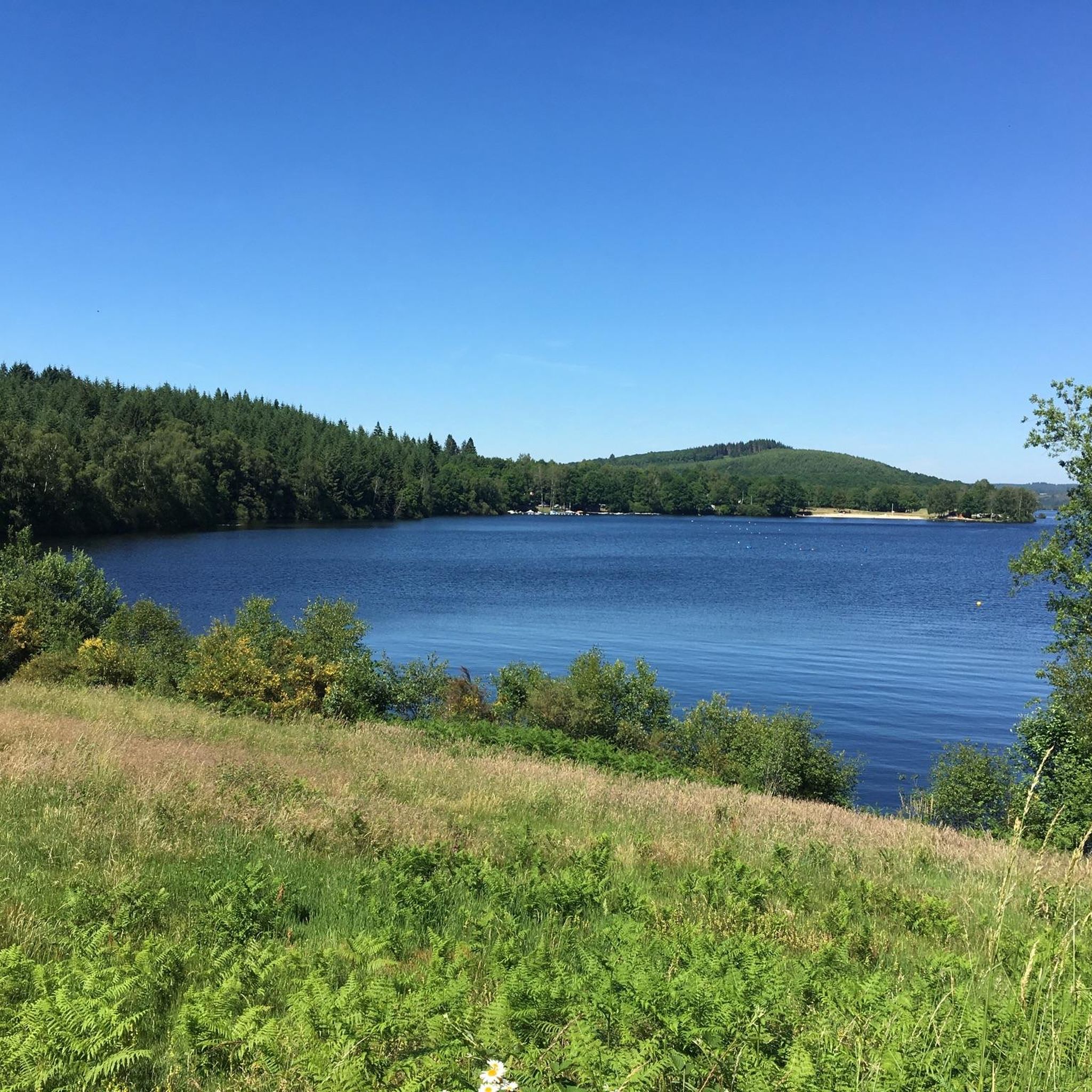
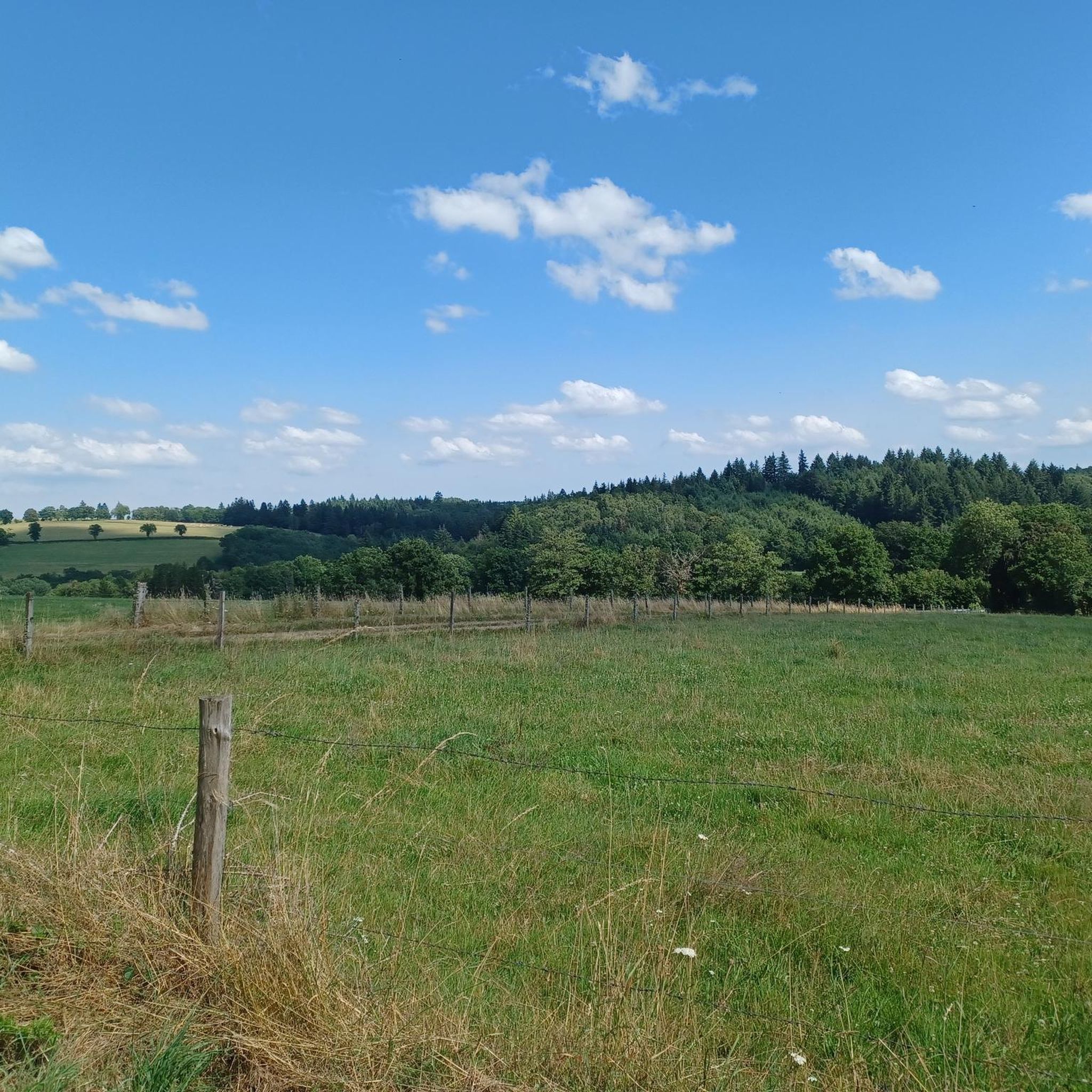
Hiking around Saint-Quentin-La-Chabanne is characterized by a mountainous plateau within the Millevaches en Limousin Regional Natural Park, with altitudes ranging from 460 to 811 meters. The landscape features numerous rivers, including the Creuse River, and the artificial Lac de la Vaud-Gelade. Diverse vegetation, encompassing forests, woodlands, open meadows, and moorlands, defines the area. This varied terrain offers a range of elevations and scenic experiences for hikers.
Best hiking trails around Saint-Quentin-La-Chabanne
- The most popular hiking route is Aubusson - loop…
Last updated: July 11, 2026
3.3
(3)
9
hikers
11.2km
03:09
220m
220m
Moderate hike. Good fitness required. Easily-accessible paths. Suitable for all skill levels.
5.0
(1)
8
hikers
5.15km
01:29
130m
130m
Easy hike. Great for any fitness level. Easily-accessible paths. Suitable for all skill levels.

Sign up for free
4.7
(6)
9
hikers
9.27km
02:41
240m
240m
Moderate hike. Good fitness required. Easily-accessible paths. Suitable for all skill levels.
4.7
(3)
8
hikers
22.2km
06:20
530m
530m
Hard hike. Very good fitness required. Easily-accessible paths. Suitable for all skill levels.
9
hikers
17.4km
04:57
390m
390m
Moderate hike. Good fitness required. Easily-accessible paths. Suitable for all skill levels.
Get access to more routes and recommendations from other explorers.
Sign up for free
Already have an account?
Our route recommendations are based on thousands of hikes, rides, and runs completed by other people on komoot.
Start today with a free account
Your next adventure awaits.
Login or Signup

Tips from the Community

Overcrowded tourist village
0
0

Aubusson boasts several noteworthy buildings from the Middle Ages and more recent times. These include the clock tower from 1579, part of the town's fortifications. Aubusson also has museums dedicated to the production of tapestries and the Jean Lurçat Cultural Centre.
1
0
This old watchtower was integrated into the city's fortifications. Also called the "white tower", it is the last vestige of the enclosure that surrounded Aubusson. It was used to monitor movements in the city. On the facade of the tower, three dials facing the city indicate the time. It is easily recognizable with its pepperpot roof covered in chestnut shingles. It is decorated with a bell decorated with three small bas-reliefs: a mitred bishop.
2
0

Be careful if you have to go visit the museum, call before, they can close to the public without warning on the site.
0
0

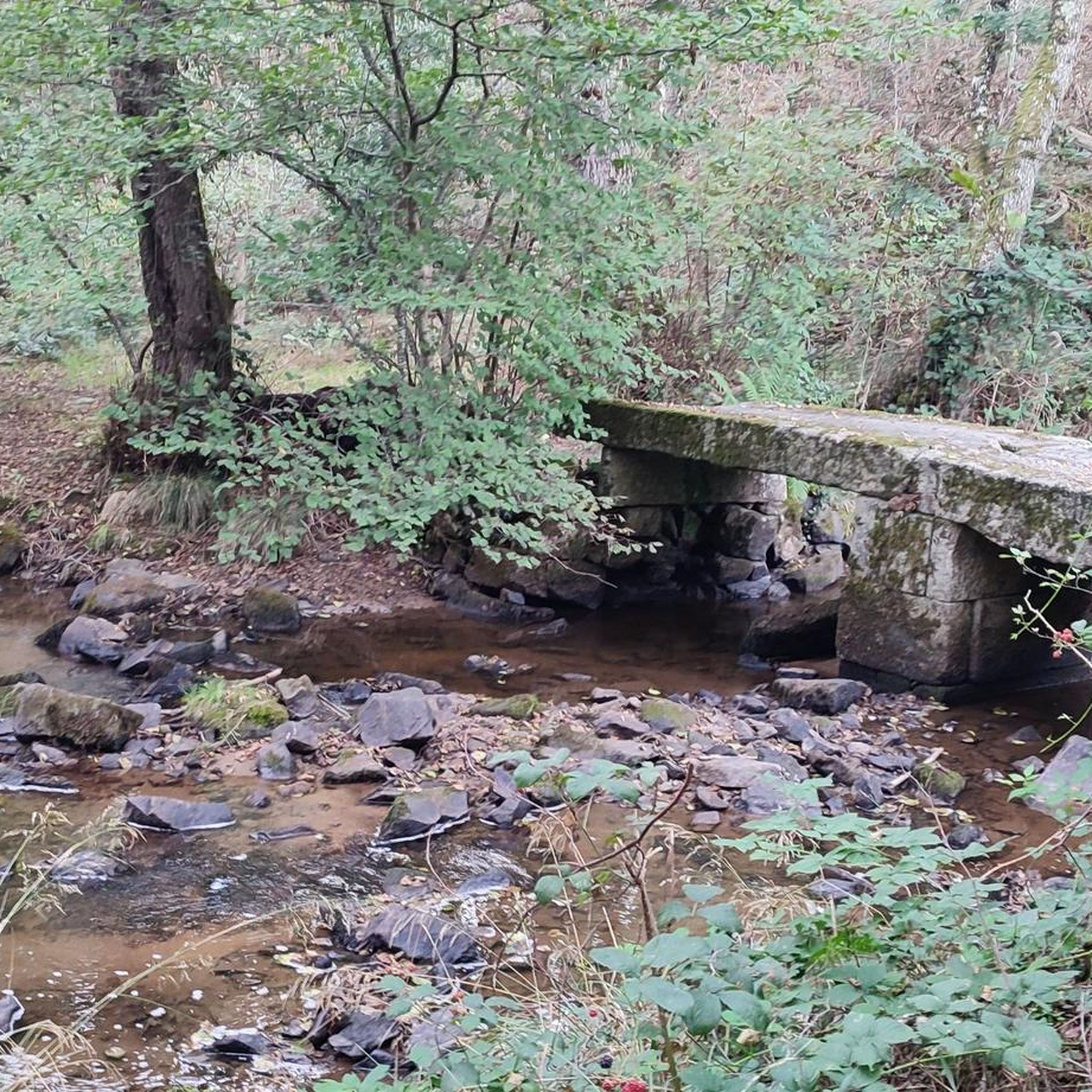
This medieval bridge, known as the 'Soubre Bridge' and made up of four arches, those at the ends in a semi-circular arch, the other two in a pointed arch, bears the name of a tapestry manufacturer whose workshops were located nearby. In the 16th century, Felletin was a prosperous town which saw the development of a significant number of industries: flour milling, tanning, paper milling, dyeing, etc. The river provided the energy necessary for the operation of the numerous mills. Next to the bridge, we notice the toll terminal symbolizing the duty that had to be paid to bring certain goods and foodstuffs into the city. Listed as a Historic Monument in 1926. Source: https://www.tourisme-creuse.com/
0
0


This tower, which today is a clock, was once a watchtower and was an integral part of the city's fortifications, which have practically disappeared.
3
0
Frequently Asked Questions
What kind of terrain can I expect on hikes around Saint-Quentin-La-Chabanne?
The region is characterized by a mountainous plateau terrain, with altitudes ranging from 460 to 811 meters. You'll find varied landscapes including extensive forests, woodlands, open prairies, and moorlands. Trails often traverse these diverse environments, offering a mix of gentle paths and more undulating sections.
What natural features or landmarks can I discover on hikes in the region?
Hikers can explore significant natural features like the artificial Lac de la Vaud-Gelade and the Creuse River. A notable landmark is the picturesque Le Petit Pont Romain de Senoueix. You can also find unique attractions such as impressive giant sequoias in the hamlet of Busserolles, visible from public pathways. For a specific route that includes a landmark, consider the Puy Fatal – Menhir dit Pierre Fitte loop from Saint-Quentin-la-Chabanne.
Are there family-friendly hiking options in Saint-Quentin-La-Chabanne?
Yes, Saint-Quentin-La-Chabanne offers a good selection of easy trails suitable for families. For instance, the Puy Fatal – Menhir dit Pierre Fitte loop from Saint-Quentin-la-Chabanne is an easy 6.3 km (3.9 miles) trail that starts directly from the village and is generally completed in under two hours.
Are there many circular hiking routes available?
Yes, many of the trails in the Saint-Quentin-La-Chabanne area are designed as circular routes, allowing you to start and end at the same point. Examples include the Aubusson - loop and the Creuse – Aubusson Old Town loop from Aubusson, both offering convenient round trips.
What is the best time of year to go hiking in Saint-Quentin-La-Chabanne?
The region is beautiful throughout the warmer months. Autumn is particularly appealing, as you can admire blooming heather in the prairies and enjoy the vibrant colors of the extensive forests. The varied landscapes make it suitable for hiking from spring through to late autumn.
How many hiking trails are there in Saint-Quentin-La-Chabanne?
There are over 35 hiking routes available around Saint-Quentin-La-Chabanne, catering to various difficulty levels from easy strolls to more challenging excursions. This includes 13 easy, 22 moderate, and 1 difficult trail.
What do other hikers enjoy the most about hiking in Saint-Quentin-La-Chabanne?
The area is highly rated by the komoot community, with an average score of 4.5 stars from over 60 reviews. Hikers often praise the diverse terrain, from river valleys and forests to lakes, and the options available for different ability levels.
Are dogs allowed on the hiking trails?
Generally, dogs are welcome on trails in the Parc Naturel Régional de Millevaches en Limousin, which encompasses Saint-Quentin-La-Chabanne. However, it's always advisable to keep them on a leash, especially near livestock or in protected natural areas, and to respect local signage.
Are there any interesting historical sites or towns to visit near the hiking routes?
Yes, several routes pass near or through historically rich areas. For example, the Creuse – Aubusson Old Town loop from Aubusson leads through the historic areas of Aubusson, a town renowned for its tapestries. Other nearby attractions include the Terrade Bridge and the Felletin Historic Center.
Can I find panoramic views on the trails around Saint-Quentin-La-Chabanne?
Absolutely. Many hikes in the region, particularly those along ridge lines or around areas like Saint-Marc-à-Frongier, offer expansive, clear views of the surrounding countryside. On clear days, you might even catch distant glimpses of the Monts d'Auvergne.
Is it easy to find parking near the trailheads?
While specific parking details vary by trailhead, many routes, especially those starting from villages like Saint-Quentin-la-Chabanne or Aubusson, typically have accessible parking options nearby. It's common to find designated parking areas in or at the edge of these communes.
Are there any long-distance hiking opportunities in the area?
While the guide focuses on day hikes, the region's extensive network of trails and its location within the Parc Naturel Régional de Millevaches en Limousin mean that longer, multi-day treks can be planned by linking various routes. For instance, a challenging 23.6 km circuit around Lac de la Vaud-Gelade is possible for those seeking a longer excursion.
Most popular routes around Saint-Quentin-La-Chabanne
Most popular attractions around Saint-Quentin-La-Chabanne

Get inspired with the komoot mobile app


Explore more
Browse the best Hikes in other regions.
