The best mountain hikes around Jongieux
4.9
(7)
39
hikers
5
hikes
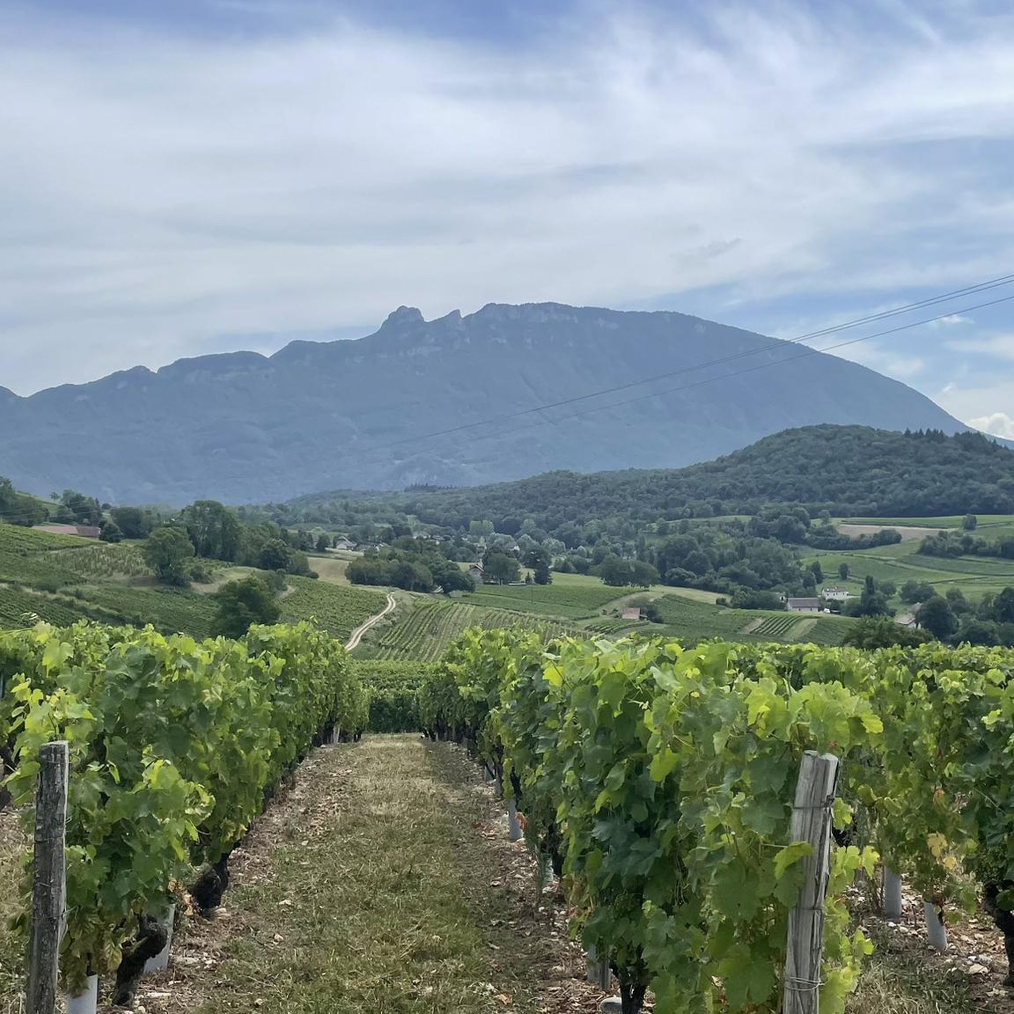
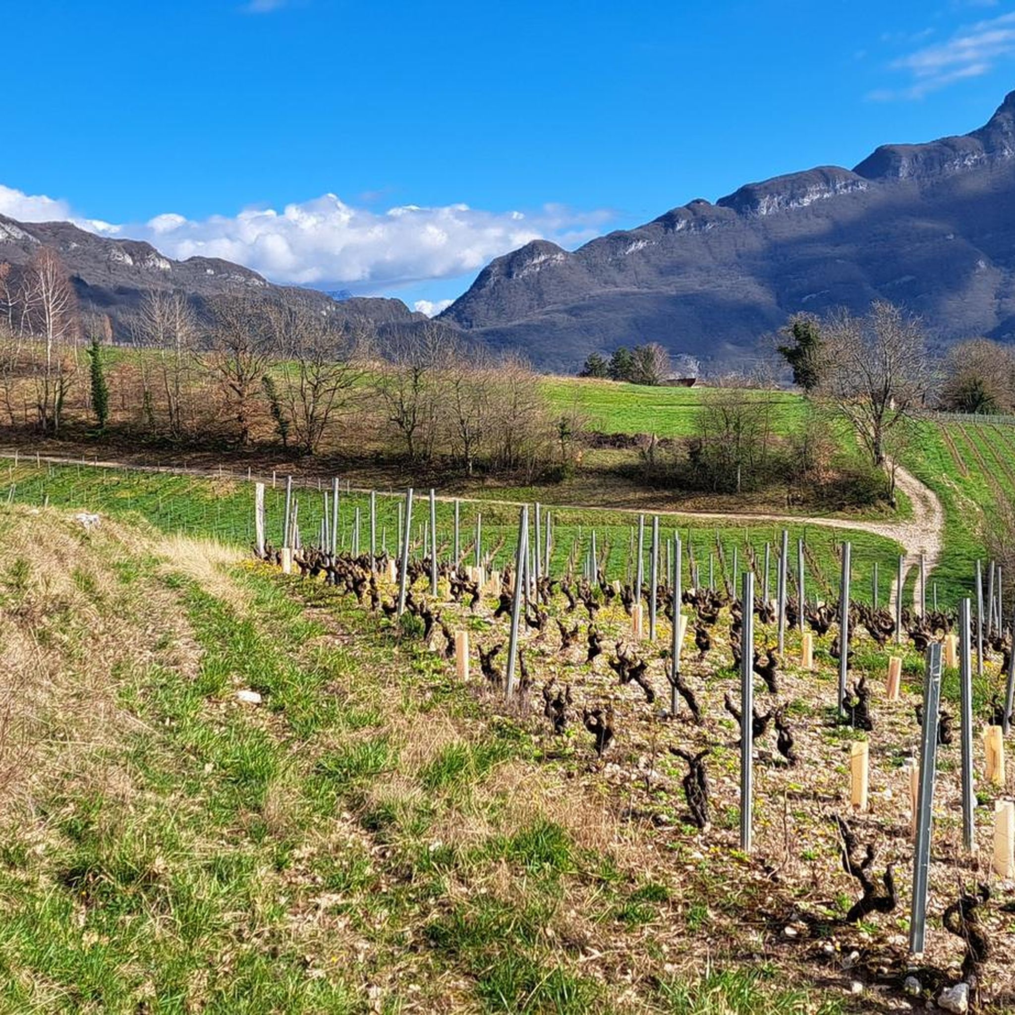
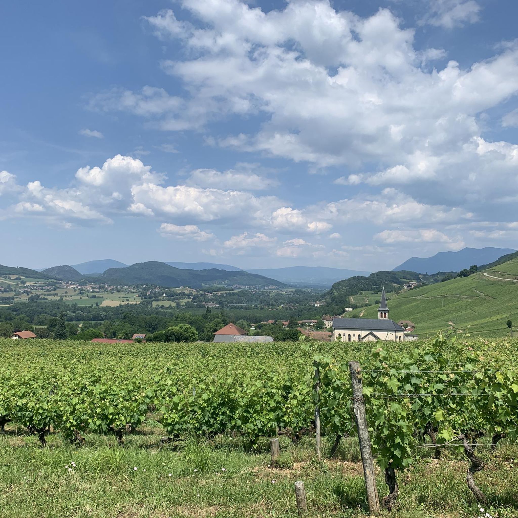
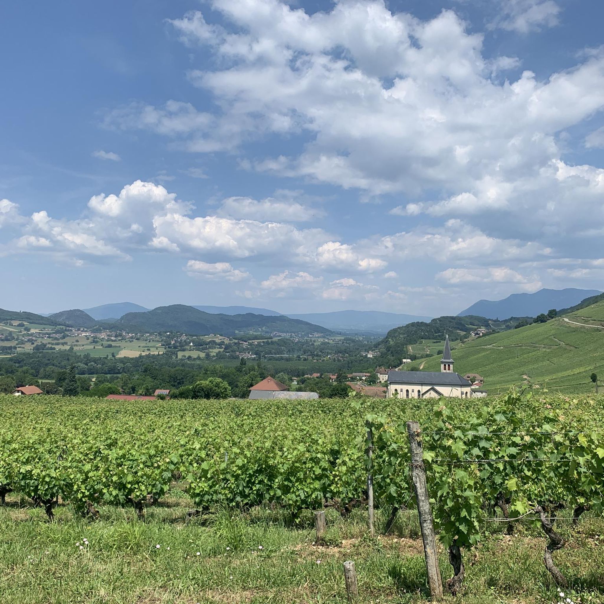
Mountaineering routes Jongieux are situated in the Savoie region of France, characterized by the dramatic Mont du Chat mountain ridge overlooking the Rhône river. The terrain features a mix of sloping vineyards, dense woodlands, and rocky limestone soils, reflecting its position at the crossroads of the Alps and Jura massifs. This geographical diversity provides varied landscapes for mountain-related activities.
Best mountaineering routes around Jongieux
- The most popular mountaineering route is Col du Chat (Chat Pass) – Cat's Tooth loop from…
Last updated: June 30, 2026
4.5
(4)
23
hikers
7.43km
04:00
660m
660m
Hard mountaineering route. Good fitness required. Sure-footedness, sturdy shoes and alpine experience required.
5.0
(1)
8
hikers
4.51km
01:31
180m
180m
Moderate mountaineering route. Great for any fitness level. Mostly accessible paths. Sure-footedness required.

Sign up for free
5.0
(1)
4
hikers
8.30km
03:10
550m
550m
Hard mountaineering route. Good fitness required. Sure-footedness, sturdy shoes and alpine experience required.
2
hikers
14.8km
06:13
1,010m
1,010m
Hard mountaineering route. Very good fitness required. Sure-footedness, sturdy shoes and alpine experience required.
5.0
(1)
2
hikers
8.97km
03:23
450m
450m
Moderate mountaineering route. Good fitness required. Mostly accessible paths. Sure-footedness required.
Our route recommendations are based on thousands of hikes, rides, and runs completed by other people on komoot.
Start today with a free account
Your next adventure awaits.
Login or Signup

Tips from the Community

Panoramic view, over the Savoyard pre-Alps, the lake, the Dent du Chat, le Revard, Croix du Nivollet and in clear weather even as far as Mont Blanc! The route does not require any particular physical condition but requires vigilance to place your feet well in order to avoid rocks and roots on the path.
0
0


Beautiful view of the lake.
0
0
Beautiful view of the lake.
0
0

It's a must-see place with a magnificent view of Lake Bourget.
1
0

Aerial passage via ladders with gas, not recommended for beginners. Avoid summer weekends, as crowded conditions can cause traffic jams.
0
0

Great lake view with mountains, start of the Tunnel du Chat for cyclists.
0
0
Frequently Asked Questions
What kind of terrain can I expect on mountaineering routes near Jongieux?
The routes around Jongieux offer a diverse landscape, characteristic of its position at the crossroads of the Alps and Jura massifs. You'll encounter sloping vineyards, dense woodlands, and rocky limestone soils, particularly on the western slopes of the Mont du Chat mountain ridge overlooking the Rhône river. This geological diversity provides varied and engaging terrain for mountaineering.
Are there any moderate mountaineering routes suitable for those looking for a less strenuous climb?
Yes, Jongieux offers several moderate routes. For instance, the Le Molard Noir – Molard Noir Viewpoint loop from Mont du Chat is a moderate 4.5 km path that provides access to impressive viewpoints. Another option is the Lamartine Cave – View of Lake Bourget loop from Bourdeau, a moderate 9.0 km route offering scenic views.
Which routes offer the best panoramic views of the surrounding area?
Many routes in Jongieux lead to remarkable viewpoints. The Col du Chat (Chat Pass) – Cat's Tooth loop from Bourdeau offers challenging ascents and panoramic views from the ridge. You can also find stunning vistas from the Beautiful viewpoint over the surrounding mountains, accessible via various trails.
Are there any circular mountaineering routes in Jongieux?
Yes, several routes are designed as loops, allowing you to start and end at the same point. Examples include the challenging Col du Chat (Chat Pass) – Cat's Tooth loop from Bourdeau, the moderate Le Molard Noir – Molard Noir Viewpoint loop from Mont du Chat, and the longer Col du Chat (638 m) – Roc du Cornillon viewpoint loop from Bourdeau.
What are some notable natural landmarks or attractions I can see while mountaineering in Jongieux?
The region is rich in natural beauty. You can encounter prominent peaks like Signal du Mont du Chat and Cat's Tooth. The routes also offer views of stunning bodies of water, including Lake Bourget, France's deepest lake, and the Lavours Dam.
How long do mountaineering routes around Jongieux typically take to complete?
The duration varies depending on the route's length and difficulty. Moderate routes like the Le Molard Noir – Molard Noir Viewpoint loop can take around 1 hour 30 minutes. More challenging and longer routes, such as the Col du Chat (638 m) – Roc du Cornillon viewpoint loop, may require over 6 hours to complete.
What do other mountaineers say about the routes in Jongieux?
The mountaineering routes in Jongieux are highly regarded by the komoot community, with an average score of 4.8 stars from 6 reviews. Mountaineers often praise the varied terrain, the challenging ascents, and the rewarding panoramic views from the Mont du Chat ridge.
Is Jongieux a good destination for experienced mountaineers?
Yes, Jongieux offers several challenging routes that will appeal to experienced mountaineers. The region features difficult climbs with significant elevation gains, such as the Molard Noir Viewpoint – Le Molard Noir loop from Mont du Chat, which covers 8.3 km with over 540 meters of ascent.
What is the best time of year for mountaineering in Jongieux?
While specific seasonal advice isn't available, the Savoie region generally offers pleasant conditions for mountain activities from late spring through early autumn. During these months, the weather is typically more stable, and trails are clear of snow, making for safer and more enjoyable mountaineering experiences.
Are there any protected natural areas to be aware of while mountaineering in Jongieux?
Yes, the region around Jongieux boasts protected natural areas, which are home to exceptional flora and fauna. While mountaineering, it's important to stay on marked trails, respect local regulations, and practice Leave No Trace principles to help preserve these valuable ecosystems.
Are there options for longer, more challenging mountaineering expeditions in the area?
For those seeking a more demanding experience, the Col du Chat (638 m) – Roc du Cornillon viewpoint loop from Bourdeau is a difficult 14.8 km route with over 1000 meters of elevation gain, typically taking more than 6 hours to complete. This route provides a significant challenge for well-prepared mountaineers.
Most popular routes around Jongieux
Most popular attractions around Jongieux

Get inspired with the komoot mobile app


Explore more
Browse the best Mountain Hikes & Routes in other regions.
