The best mountain hikes around Lauw
3.0
(2)
10
hikers
4
hikes
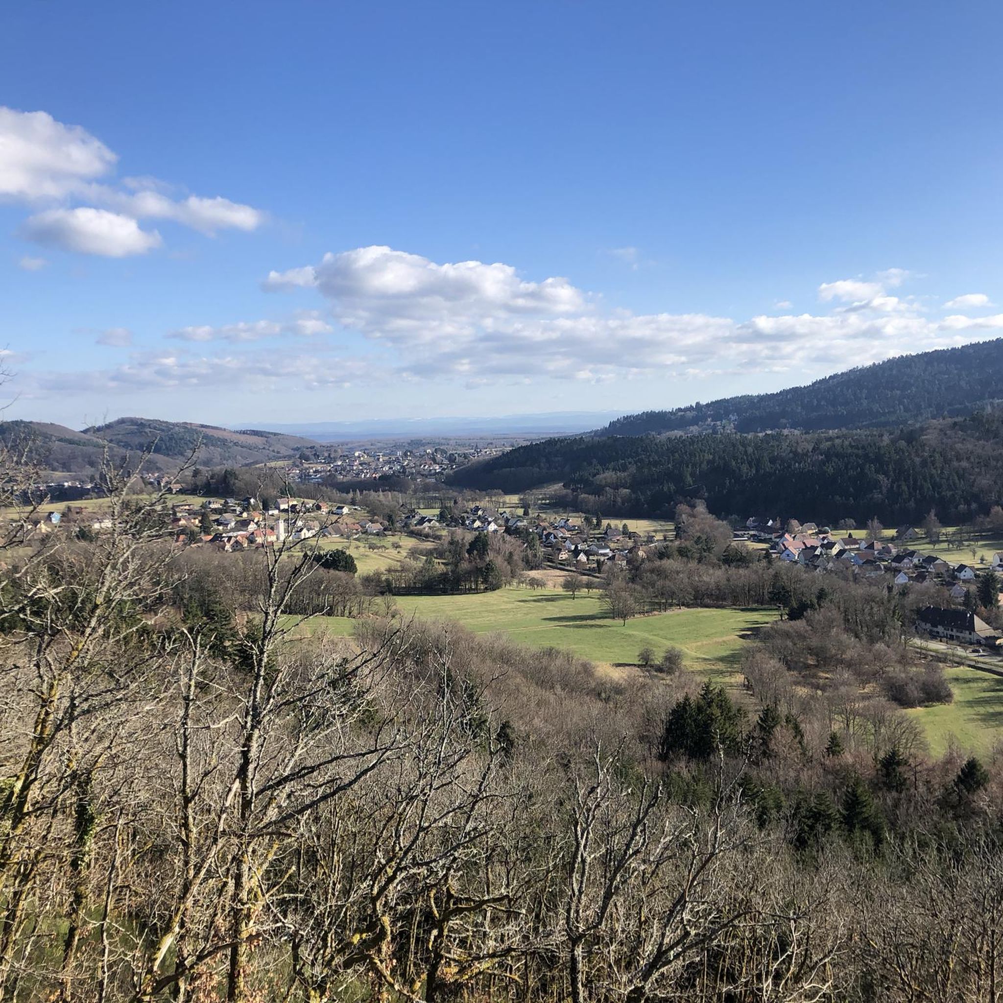
Mountaineering routes around Lauw are situated within the Thann-Gebweiler region, characterized by its mountainous terrain and forested valleys. The landscape features notable passes like Hundsruck Pass and Lochberg Pass, along with distinctive rock formations such as Vogelstein and Raven Rock. Elevations in the area include peaks reaching around 920 meters, offering varied ascents and descents through natural environments.
Best mountaineering routes around Lauw
- The most popular mountaineering route is Hundsruck Pass – Panoramic view loop from Bourbach-le-Haut, a 9.7…
Last updated: October 12, 2026
4
hikers
15.5km
04:57
640m
640m
Moderate mountaineering route. Good fitness required. Easily-accessible paths. Suitable for all skill levels.
4
hikers
26.8km
08:45
1,200m
1,200m
Hard mountaineering route. Very good fitness required. Easily-accessible paths. Suitable for all skill levels.

Hard mountaineering route. Good fitness required. Sure-footedness, sturdy shoes and alpine experience required.
5.0
(1)
1
hikers
Moderate mountaineering route. Good fitness required. Easily-accessible paths. Suitable for all skill levels.
Our route recommendations are based on thousands of hikes, rides, and runs completed by other people on komoot.
Start today with a free account
Your next adventure awaits.
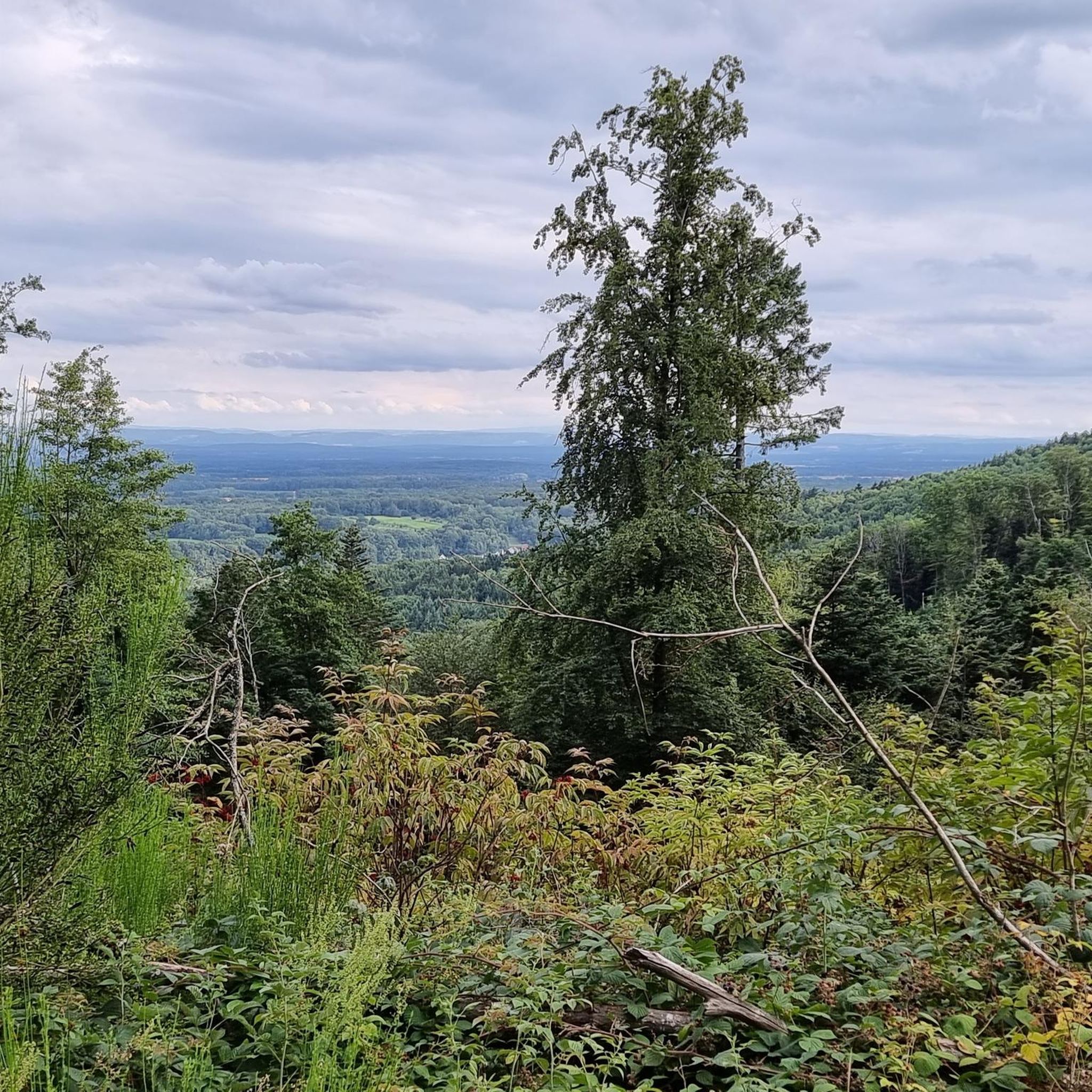
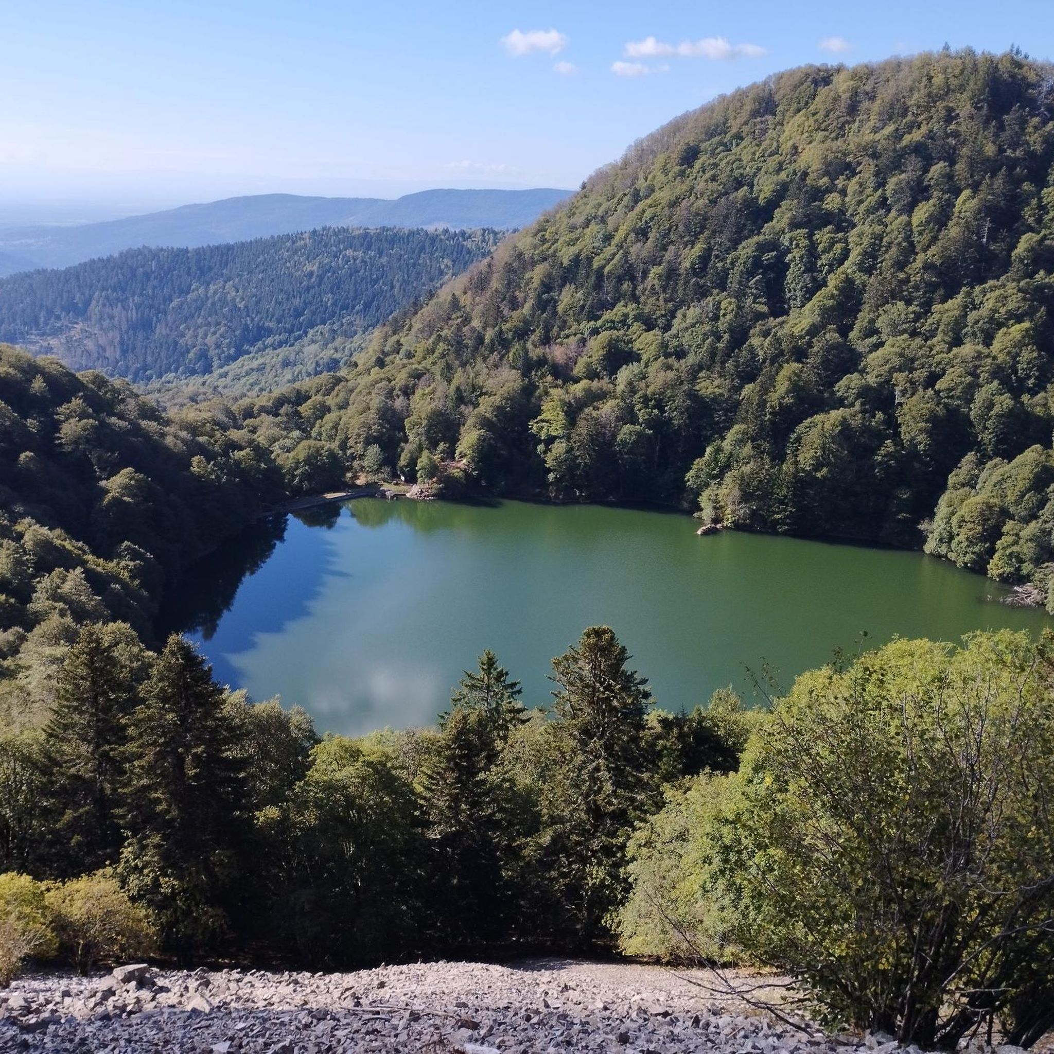
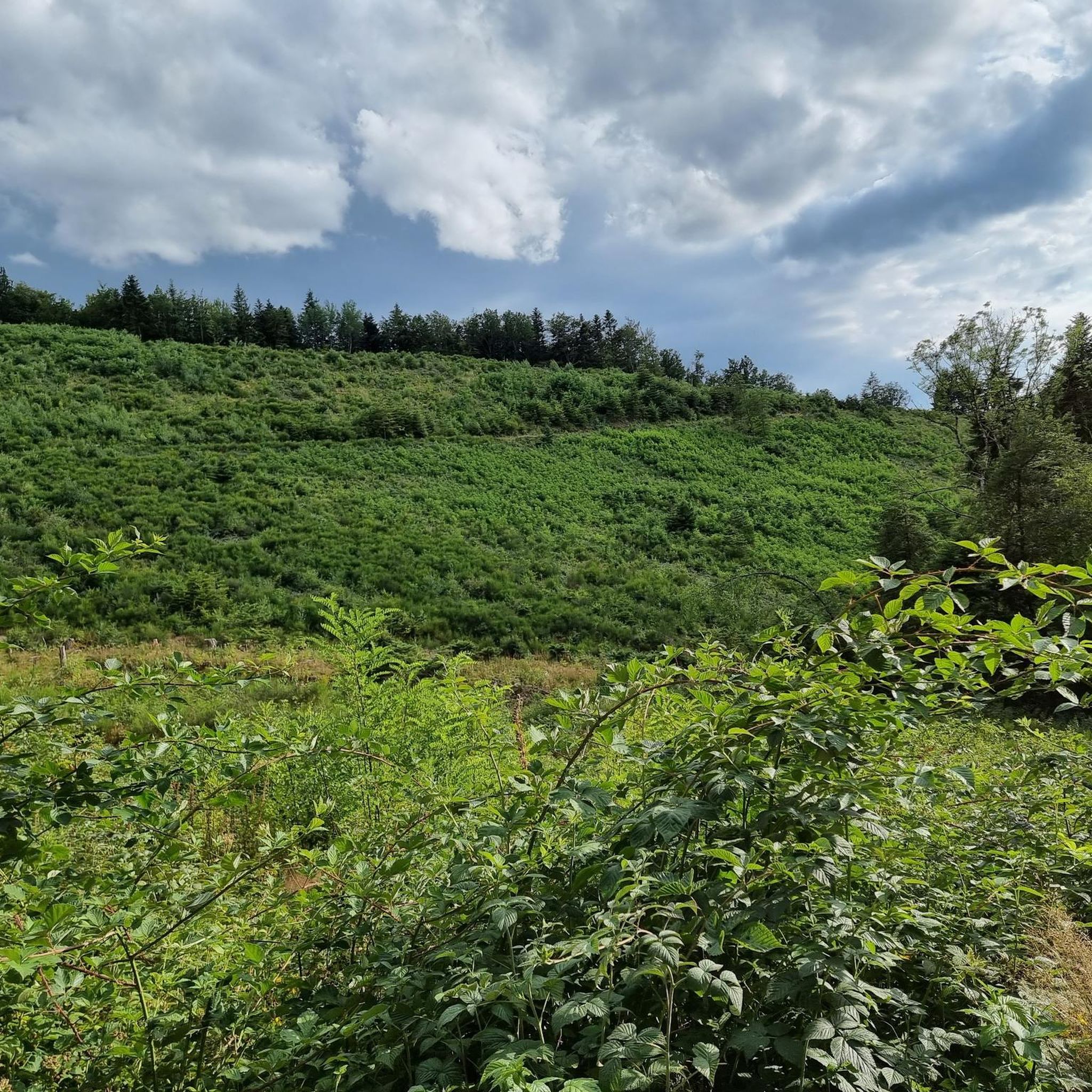
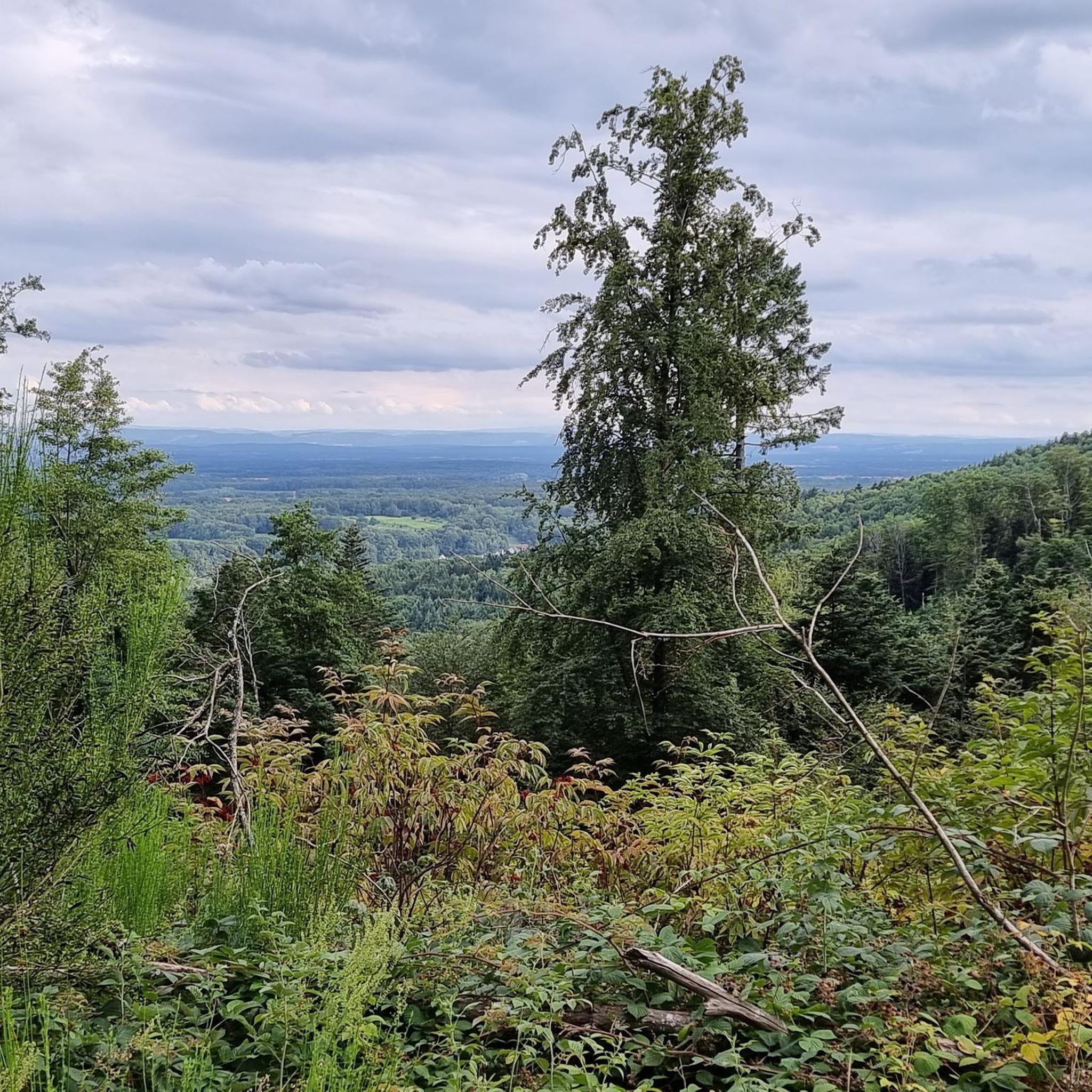

Tips from the Community

The Col du Hunsrück (748 m) is a quiet and wooded pass above Willer-sur-Thur. The steady climb and beautiful nature make this a pleasant classic in the southern Vosges, with connections to both the Thur and Dollervallei valleys.
6
0

The Baerenkopf is a well-known summit in the Masevaux valley. Located on the wooded ridge around 1,000 meters that borders the Territoire de Belfort and Haut-Rhin, it nevertheless reveals a beautiful view of the valley, especially in the months when the vegetation is sparser. A refuge is located right next to it, in a slightly more open landscape.
1
0
Above the Lachtelweiher lake, the Lochberg farm inn allows you to refuel with good dishes made from products from the farm. Its terrace offers a beautiful view of the valley. There is also a stele in memory of Francis Dollfus, who died skiing at this spot on January 13, 1935. E-MTB riders will also appreciate the charging station provided.
1
0

Beautiful hike and beautiful viewpoint
1
0

Located at an altitude of 800 meters.
1
0


the best blueberry pies with the option to charge bikes
0
0

Ferme Auberge Gsang: great view, good food
0
0
Frequently Asked Questions
Are there any moderate mountaineering routes around Lauw?
Yes, for a moderate mountaineering experience, you can explore the Lochberg Pass (920 m) – Ferme Auberge Le Lochberg loop from Source de la Doller. This route covers approximately 6 km and takes about 2 hours to complete, offering varied terrain around the 920-meter pass.
What are some challenging mountaineering routes in the Lauw area?
For those seeking a more demanding mountaineering experience, the Hundsruck Pass – Vogelstein (Bird Rock) loop from Willer-sur-Thur is a difficult 26.8 km trail that navigates significant rock formations. Another challenging option is the Raven Rock loop from Rimbach-près-Masevaux, a difficult 10.8 km route through forested areas.
Are there circular mountaineering routes available near Lauw?
Yes, many of the mountaineering routes around Lauw are designed as loops. For example, the popular Hundsruck Pass – Panoramic view loop from Bourbach-le-Haut offers expansive views over 15.5 km. The Lochberg Pass (920 m) – Ferme Auberge Le Lochberg loop from Source de la Doller is also a circular route.
What kind of natural landmarks can I expect to see on mountaineering routes in Lauw?
The region is known for its distinctive rock formations and mountain passes. You might encounter features like Vogelstein (Bird Rock) and Raven Rock, as well as traverse notable passes such as Hundsruck Pass and Lochberg Pass. These routes often lead through dense woodlands and offer panoramic views of the Thann-Gebweiler region.
Are there any interesting places to explore near the mountaineering trails?
Yes, the area around Lauw offers several points of interest. You could visit the historic The Witch's Eye (Engelbourg Castle) or explore the Hundsruck Pass. For scenic views, consider the Climb to Col Amic.
What is the best time of year for mountaineering in Lauw?
The mountaineering routes around Lauw are generally best enjoyed from spring through autumn when the weather is milder and trails are clear. Summer offers longer daylight hours, while autumn provides beautiful foliage. Winter mountaineering is possible but requires appropriate gear and awareness of snow and ice conditions, especially at higher elevations like the 920-meter peaks.
Are there any huts or shelters along the mountaineering routes?
Yes, there are several huts and shelters in the vicinity that can provide a resting point or refuge. Examples include the Viewpoint at the Rehbrunnel shelter, the Belacker Farmhouse Inn, and the Grambaechle Refuge (shelter).
What do other mountaineers say about the routes in Lauw?
The mountaineering routes in Lauw are highly regarded by the komoot community, with an average rating of 3.0 stars from over 2 reviews. More than 12 mountaineers have used komoot to explore the varied terrain, often praising the diverse landscapes, from forested valleys to distinctive rock formations and panoramic views.
Are there specific permits required for mountaineering in the Lauw area?
Generally, no specific permits are required for recreational mountaineering on established trails in the Lauw area. However, it's always advisable to check local regulations, especially if you plan to venture off marked paths or into protected natural areas. Respecting private property and environmental guidelines is essential.
Where can I find parking for mountaineering trailheads around Lauw?
Trailheads for mountaineering routes often start from villages such as Bourbach-le-Haut, Willer-sur-Thur, Rimbach-près-Masevaux, or Source de la Doller. These villages typically offer designated parking areas for hikers. It's recommended to check specific route descriptions for detailed parking information.
Can I reach mountaineering routes in Lauw using public transport?
While specific public transport links directly to every trailhead might be limited, some villages serving as starting points for routes, like Willer-sur-Thur or Rimbach-près-Masevaux, may have bus connections. Planning your journey in advance and checking local transport schedules is recommended if you intend to rely on public transport.
Most popular attractions around Lauw

Get inspired with the komoot mobile app


Explore more
Browse the best Mountain Hikes & Routes in other regions.
