The best walks and hikes around Lauw
4.6
(1148)
6,281
hikers
25
hikes
Hiking around Lauw provides access to a network of trails exploring local historical sites and natural surroundings. The routes often feature gentle inclines and varied terrain, suitable for different hiking preferences. Paths lead through areas with cultural landmarks and offer opportunities for outdoor activity.
Best hiking trails around Lauw
- The most popular hiking route is First world war shelters – La Grande Mine loop from Lauw, a 6.1 miles (9.8 km) trail that takes 2 hours 40 minutes to…
Last updated: October 14, 2026
4.4
(14)
48
hikers
9.66km
02:38
150m
150m
Moderate hike. Good fitness required. Easily-accessible paths. Suitable for all skill levels.
4.5
(4)
17
hikers
8.37km
02:12
70m
70m
Moderate hike. Good fitness required. Easily-accessible paths. Suitable for all skill levels.

5.0
(1)
11
hikers
6.86km
01:52
100m
100m
Easy hike. Great for any fitness level. Easily-accessible paths. Suitable for all skill levels.
4.8
(4)
15
hikers
12.1km
03:22
220m
220m
Moderate hike. Good fitness required. Easily-accessible paths. Suitable for all skill levels.
5.0
(2)
16
hikers
12.1km
03:31
300m
300m
Moderate hike. Good fitness required. Mostly accessible paths. Sure-footedness required.
Get access to more routes and recommendations from other explorers.
Already have an account?
Our route recommendations are based on thousands of hikes, rides, and runs completed by other people on komoot.
Start today with a free account
Your next adventure awaits.


Tips from the Community

This is where the fitness trail starts. There is space to park the car before heading out to the various installations. The loop, located in the middle of the forest, is 3,000 meters long.
1
0
The Saint-Éloi church was built between 1868 and 1870 by the parish priest Adam, who was also an architect and master builder. It is distinguished by its colorful franc-comtois style roof. In 1987, after the parish handed it over to the municipality, it was restored, having been damaged during both world wars.
0
0
This chalet is located in the middle of the Lauw forest, on the heights of the municipality. Like many others in the region, it has facilities for making a fire both inside and outside.
1
0

The Églises Saint-Martin (Sint-Martinuskerk) in Masevaux is a historic, neoclassical church in Alsace. The church is particularly known for its impressive organ history and the annual international organ festival
6
0
This chapel was built in 1889 at the edge of the Oberwald forest, where a statue of Saint Anne once stood. Its original purpose was to pray for the young men called up during the Franco-Prussian War of 1870-1871.
0
0
Place des Alliés is the central square of Willer-sur-Thur and forms the vibrant heart of the village. The square commemorates with its name the allied liberation of the region during World War II. Around the square are the town hall, commercial establishments, and various historical buildings, making it a natural meeting point for residents and visitors. Attention: "Le chalet miniature animé!"
6
0
This bridge is a relic of the First World War. In 1914, the railway line in the Doller valley was cut. In 1917, a new track was created to transport materials to the front, as well as coal to the factories in the valley. The railway passed over this structure.
0
0
The Hohlenstein cave is 900 meters long, which is enough to make it the largest in Alsace. It is also the only one in the region with an underground river. In the 19th century, during the first excavations, bones were found, proving the presence of animals such as mammoths and bears in the area more than 20,000 years ago.
0
0
Frequently Asked Questions
How many hiking trails are available around Lauw?
There are over 20 hiking trails available around Lauw, offering a variety of experiences for different skill levels. You can find 6 easy routes, 15 moderate routes, and 3 more challenging options.
What kind of terrain can I expect on hikes in Lauw?
Hiking trails around Lauw often feature varied terrain, including paths through historical sites and natural landscapes. Many routes have gentle inclines, making them accessible for a range of hikers.
Are there any easy hiking trails suitable for beginners in Lauw?
Yes, Lauw offers several easy hiking trails perfect for beginners or those looking for a relaxed walk. An example is the Hohlenstein Cave – Hohlenstein Cave loop from Lauw, which is 6.7 km long and has an elevation gain of about 80 meters.
What are some notable landmarks or attractions I can see while hiking near Lauw?
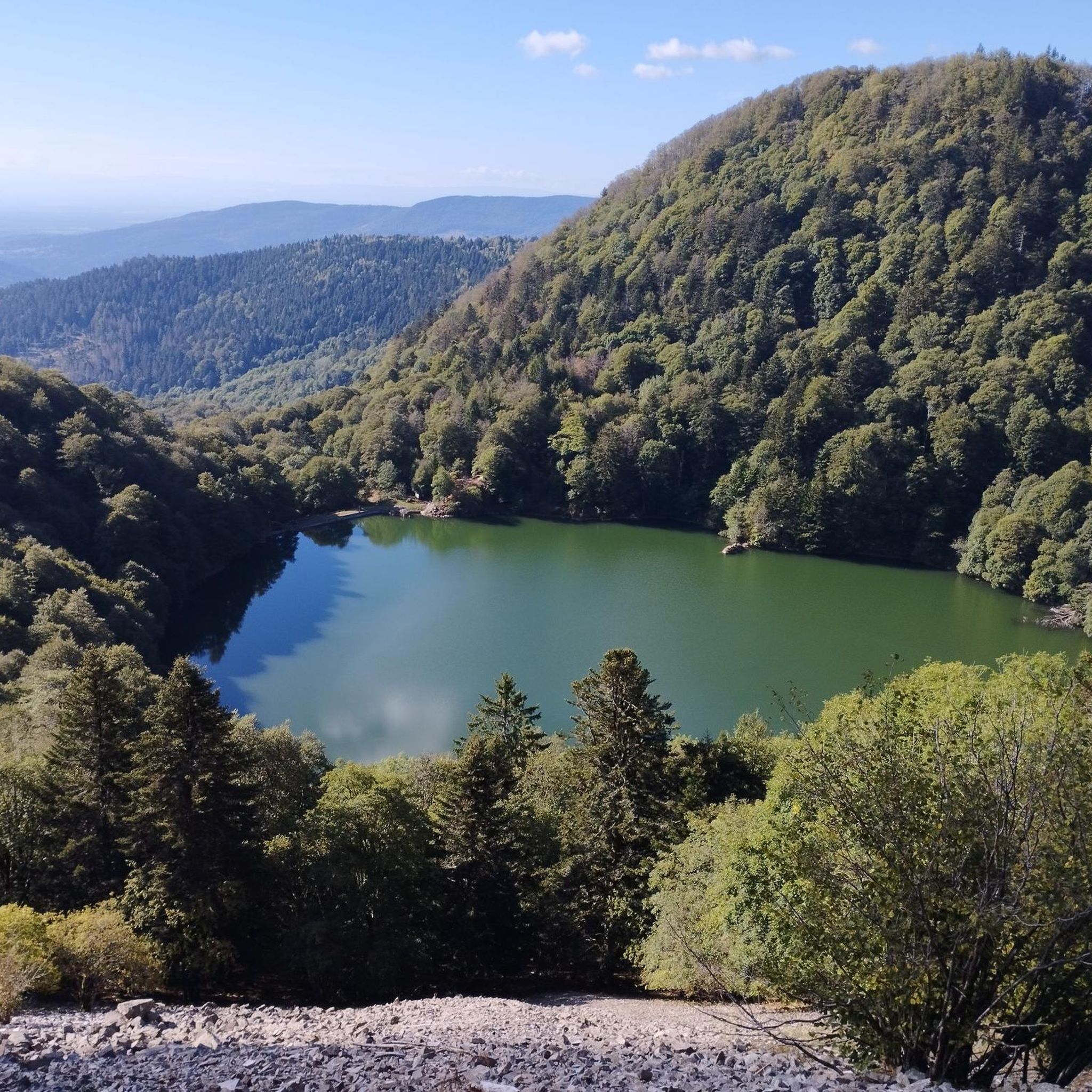
While hiking near Lauw, you can explore various points of interest. These include historical sites like the The Witch's Eye (Engelbourg Castle), or natural features such as Michelbach Lake and Lake Sewen. Some trails also pass through areas with cultural significance.
Are there any circular hiking routes around Lauw?
Many of the trails around Lauw are designed as circular routes, allowing you to start and end at the same point. For instance, the Hohlenstein Cave – Chapelle St Anne loop from Lauw is a moderate 8.4 km circular path that takes you through cultural landmarks and natural areas.
What do other hikers say about the trails in Lauw?
The hiking trails in Lauw are highly regarded by the komoot community, with an average rating of 4.5 stars from over 1000 reviews. Hikers often praise the well-maintained paths and the blend of historical and natural scenery.
Are there any longer or more challenging hikes in the Lauw area?
For those seeking a longer hike, the La Grande Mine – Place des Allies loop from Lauw is a moderate 11.8 km trail with an elevation gain of around 218 meters, offering a more extended exploration of the historical and natural landscapes.
Can I find trails that explore historical sites in Lauw?
Yes, Lauw is known for its trails that incorporate historical sites. The First world war shelters – La Grande Mine loop from Lauw is a 9.8 km route specifically designed to explore historical sites and varied terrain.
What is the typical duration for hikes around Lauw?
Hikes around Lauw vary in duration depending on the route and your pace. Shorter, easy trails like the Hohlenstein Cave – Hohlenstein Cave loop from Lauw can be completed in about 2 hours, while longer moderate routes might take up to 3 hours 16 minutes, such as the La Grande Mine – Place des Allies loop from Lauw.
Are there any trails suitable for families with children in Lauw?
While specific 'family-friendly' designations are not provided, many of the easy and moderate trails with gentle inclines and varied terrain would be suitable for families. Routes like the La cabane près du rond point – Masevaux Fitness Trail loop from Lauw, an easy 6.9 km path, could be a good option for a family outing.
What kind of natural features can I expect to see on the trails?
The trails around Lauw offer a mix of natural features, including wooded areas and open landscapes. Some routes also lead to or near lakes such as Lake Observatory and Wildenstein Lake Dam, providing diverse scenery.
Most popular attractions around Lauw

Get inspired with the komoot mobile app


Explore more
Browse the best Hikes in other regions.
