The best cycling routes around Gielniów
4.8
(19)
90
riders
29
rides
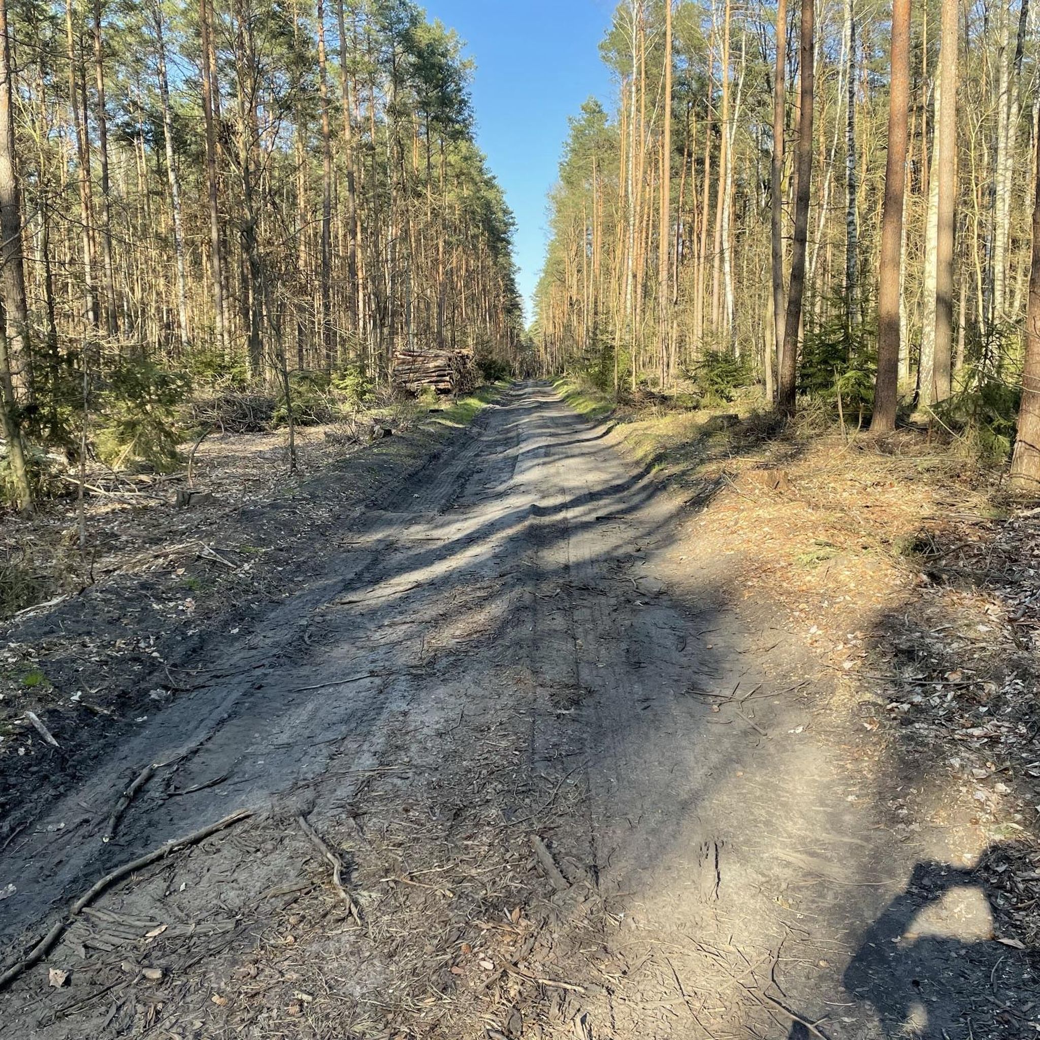
Touring cycling around Gielniów offers diverse terrain within the Garb Gielniowski, a mesoregion of the Kielce Upland. This area features varied landscapes, including hardened forest trails and river banks. The highest point, Góra Altana, stands at 1,338 feet (408 meters) above sea level, providing some elevation changes. The region also includes geological sites like the Kamieniołom gielniowski (Gielniów Quarry).
Best touring cycling routes around Gielniów
- The most popular touring cycling route is Topornia Lake – Teofilusz Koradzin Memorial loop from…
Last updated: July 2, 2026
6
riders
26.2km
01:37
200m
200m
Moderate bike ride. Good fitness required. Mostly paved surfaces. Suitable for all skill levels.
5.0
(1)
6
riders
26.9km
01:52
250m
250m
Moderate bike ride. Good fitness required. Mostly paved surfaces. Suitable for all skill levels.

Sign up for free
4.5
(2)
8
riders
13.7km
00:56
60m
60m
Easy bike ride. Great for any fitness level. Mostly paved surfaces. Suitable for all skill levels.
6
riders
19.0km
01:15
160m
160m
Moderate bike ride. Good fitness required. Mostly paved surfaces. Suitable for all skill levels.
4.7
(3)
6
riders
16.6km
01:06
160m
160m
Moderate bike ride. Good fitness required. Mostly paved surfaces. Suitable for all skill levels.
Get access to more routes and recommendations from other explorers.
Sign up for free
Already have an account?
Our route recommendations are based on thousands of hikes, rides, and runs completed by other people on komoot.
Start today with a free account
Your next adventure awaits.
Login or Signup
Popular around Gielniów

Tips from the Community

country bar, nice simple food, good music and friendly service
1
0

An old sandstone quarry. A rest area with a shelter, and a short walk to the top of the escarpment (it's worth leaving your bike, but you'll have it in sight almost all the time).
0
0
The size is impressive, unfortunately the interior is inaccessible.
0
0

a picturesque place and surroundings worth visiting
0
0
beautiful surroundings, feel free to go there
0
0
rather difficult to overcome by bike
0
0

It's not a premium gravel bike, but you can ride it without going crazy at speed.
1
0
Let us remember the soldiers who died defending our homeland. Thanks to them, we can now enjoy freedom and the fact that we have preserved national continuity.
0
0
Frequently Asked Questions
What kind of terrain can I expect on touring cycling routes around Gielniów?
The Gielniów area, situated within the Garb Gielniowski, offers diverse terrain. You'll find a mix of hardened forest trails, river banks, and potentially old railroad embankments. Some routes feature paved sections, while others include unpaved paths, catering to various cycling styles and bicycle types.
Are there any easy touring cycling routes suitable for beginners or families in Gielniów?
Yes, Gielniów offers several easy touring cycling routes. For example, the Whitewater Kayak Course – Lakeside Rest Area loop from Drzewica is an easy 8.4 miles (13.5 km) trail that takes about 54 minutes to complete, leading through river banks and lakeside areas.
What historical sites and landmarks can I explore while cycling in Gielniów?
The region is rich in history. You can visit the 18th-Century Synagogue, or explore areas like Bieliny with its historic wooden church, and Goździków, which was once a hydrotherapy health resort. Gielniów itself held town status historically, adding to the cultural depth of a tour.
Are there any natural attractions or viewpoints along the cycling routes?
Absolutely. The Garb Gielniowski features beautiful nature, including the highest point in the Mazovian Voivodeship, Góra Altana, at 408 meters, which offers scenic views. You can also find geological sites like the Kamieniołom gielniowski (Gielniów Quarry), a protected documentary site. The Przysucha Sandstone Rocks are another notable natural monument.
What is the best time of year to go touring cycling in Gielniów?
The region is generally suitable for cycling from spring through autumn. The varied landscapes, including forest trails and river banks, are particularly pleasant during these seasons. Summer offers warmer weather, while spring and autumn provide milder temperatures and often beautiful scenery.
Are there any circular touring cycling routes in the Gielniów area?
Yes, many routes around Gielniów are designed as loops. Examples include the Topornia Lake – Teofilusz Koradzin Memorial loop from Przysucha and the Przysucha Sandstone Rocks – At the Sources of the Radomka loop from Przysucha, both offering engaging circular journeys.
What are the elevation changes like on touring cycling routes in Gielniów?
The Garb Gielniowski, where Gielniów is located, features varied terrain with some notable elevation changes. Routes can range from relatively flat to those with significant ascents. For instance, the 18th-Century Synagogue – Topornia Lake loop from Przysucha includes an ascent of over 190 meters, while easier routes like the Whitewater Kayak Course – Lakeside Rest Area loop from Drzewica have less than 60 meters of elevation gain.
What do other touring cyclists enjoy most about cycling in Gielniów?
The touring cycling routes around Gielniów are highly rated by the komoot community, with an average score of 4.75 stars from more than 10 reviews. Cyclists often praise the diverse terrain, the mix of hardened forest trails and river banks, and the options available for different ability levels.
Are there places to park my car if I want to cycle in Gielniów?
While specific parking facilities for cyclists are not detailed, Gielniów, as a former town, and nearby larger settlements like Przysucha, typically offer public parking options. It's advisable to check local signage for designated parking areas upon arrival.
Can I reach Gielniów by public transport with my bicycle?
Information on specific public transport policies for bicycles to Gielniów is not readily available. In Poland, regional buses or trains may have varying rules regarding bicycle transport, often requiring extra tickets or specific times. It's recommended to check with local transport providers directly before planning your journey.
Are there any cafes or pubs along the touring cycling routes in Gielniów?
While specific cafes or pubs directly on the trails are not listed, Gielniów and surrounding towns like Przysucha would offer local establishments where cyclists can stop for refreshments. It's a good idea to plan your route to pass through these towns for breaks.
How many touring cycling routes are available around Gielniów?
There are over 20 touring cycling routes available around Gielniów, offering a variety of distances and difficulty levels to suit different preferences.
Most popular routes around Gielniów
Most popular attractions around Gielniów

Get inspired with the komoot mobile app


Explore more
Browse the best Cycling routes in other regions.
