The best gravel rides around Blodgett Landing
12
riders
6
rides
Gravel biking around Blodgett Landing offers diverse terrain in the Sunapee Uplands, characterized by rolling hills, forested areas, and proximity to Lake Sunapee. The region features a mix of paved and unpaved roads, including well-maintained gravel surfaces and scenic country routes. Riders can expect varied elevation changes, from gradual inclines to more challenging climbs, often connecting lower elevation state routes with gravel roads traversing hills. The landscape is shaped by the New England-Acadian Forests and Northeastern Highlands ecoregions, providing a…
Last updated: July 12, 2026
2
riders
Hard gravel ride. Very good fitness required. Mostly paved surfaces. Suitable for all skill levels.
2
riders
25.9km
01:38
290m
290m
Moderate gravel ride. Good fitness required. Mostly paved surfaces. Suitable for all skill levels.

Sign up for free
2
riders
36.8km
02:30
320m
320m
Moderate gravel ride. Good fitness required. Mostly paved surfaces. Suitable for all skill levels.
2
riders
73.4km
04:24
610m
610m
Hard gravel ride. Very good fitness required. Mostly paved surfaces. Suitable for all skill levels.
2
riders
51.4km
03:30
760m
760m
Hard gravel ride. Very good fitness required. Mostly paved surfaces. Suitable for all skill levels.
Our route recommendations are based on thousands of hikes, rides, and runs completed by other people on komoot.
Start today with a free account
Your next adventure awaits.
Login or Signup



Tips from the Community

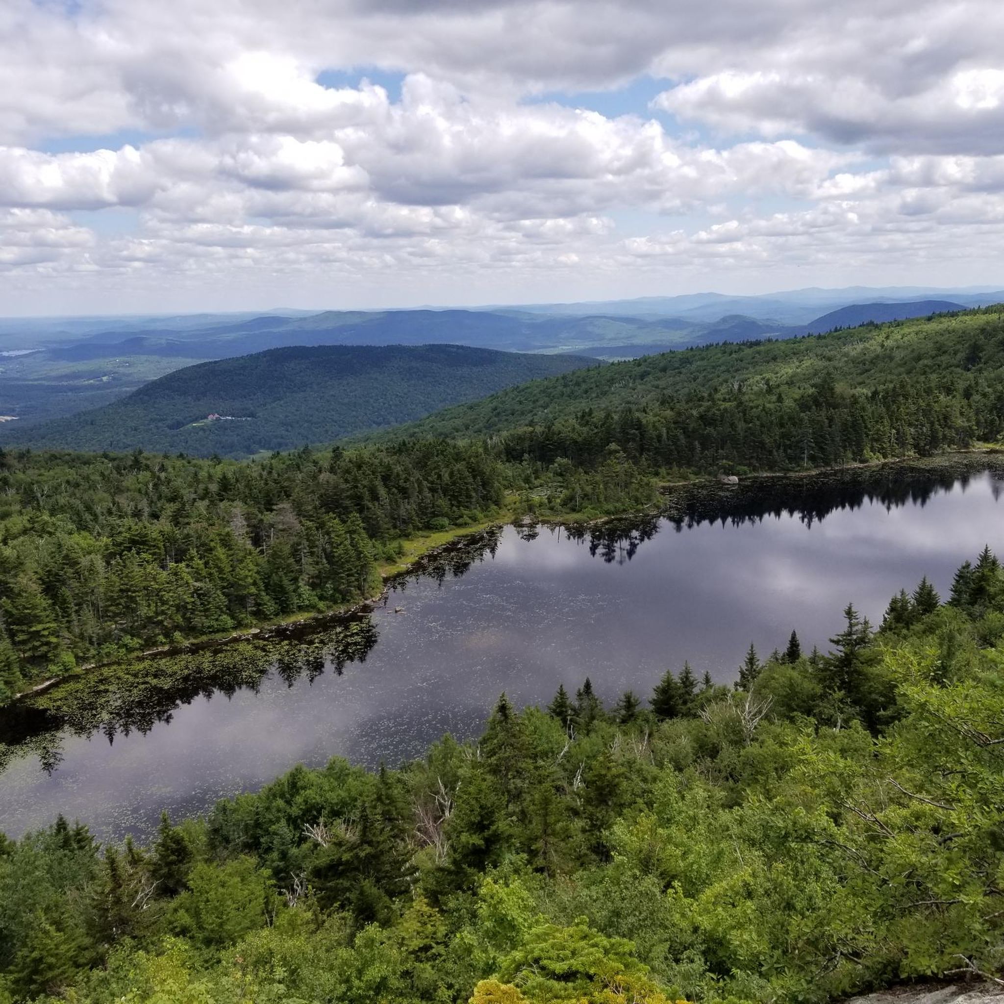
Mount Sunapee Resort is a popular ski destination in winter, but in the off-season, it transforms into a scenic hub for hiking and exploration. Located at the northern end of the 48-mile Monadnock-Sunapee Greenway (MSG), it’s an excellent place to start or end a thru-hike—or visit for a rewarding day hike. Trails like the Summit and Lake Solitude Trails offer panoramic views, peaceful woods, and a chance to experience the mountain beyond the slopes. Overnight parking is available for MSG hikers, but you must call ahead to arrange it.
0
0

This is a one time use on the Kearsarge Klassic 55 mile
0
0

A small park in Sutton, Mildred T. Leffert Natural Area, is ideally placed beside Kezar Lake for a wonderful outdoor experience.
0
0

Just south of the hamlet of Andover in New Hampshire, the Northern Rail Trail follows the Blackwater River. As you travel eastward, you come across this old Pratt Truss type of railway bridge going over the river. It is in a delightful setting and yet another fine bridge on the Northern Rail Trail.
1
0
Another fine example of a covered bridge. The Andover Covered Bridge, or Keniston Bridge, carries Bridge Street over the Blackwater River near Andover, New Hampshire. It is a rare example of a covered bridge that is not fully sheathed on the sides, meaning the trusses on the sides are exposed; in reality, this enhances its beauty. It has been added to the National Register of Historic Places.
1
0
Frequently Asked Questions
What kind of terrain can I expect on gravel bike trails around Blodgett Landing?
The gravel bike trails around Blodgett Landing are characterized by diverse terrain within the Sunapee Uplands. You'll encounter rolling hills, forested areas, and routes close to Lake Sunapee. The network features a mix of paved and unpaved roads, including well-maintained gravel surfaces and scenic country routes, with varied elevation changes from gradual inclines to more challenging climbs.
Are there any easy or beginner-friendly gravel bike routes near Blodgett Landing?
While many routes in the area are challenging, there are options suitable for those looking for a moderate ride. For example, the Kezar Lake loop from New London is a moderate 25.9 km (16.1 miles) path offering a scenic ride around Kezar Lake with manageable climbs. Another moderate option is the Kezar Lake – Waterloo Covered Bridge loop from North Sutton, covering 30.3 km (18.8 miles).
What are some longer or more challenging gravel bike routes in the Blodgett Landing area?
For experienced gravel bikers seeking a challenge, the Lake Sunapee Lighthouse – Kezar Lake loop from Lot 1 is a demanding 125.4 km (77.9 miles) route with significant elevation gain. Another difficult option is the Elkins Beach – Lake View loop from Esther Currier Wildlife Management Area at Low Plain, which is 44.8 km (27.9 miles) long and leads through forested areas with lake views.
Are there any loop gravel bike trails around Blodgett Landing?
Yes, several popular gravel bike trails in the area are loops. These include the challenging Lake Sunapee Lighthouse – Kezar Lake loop from Lot 1, the moderate Kezar Lake loop from New London, and the Elkins Beach – Lake View loop from Esther Currier Wildlife Management Area at Low Plain. The Covered Bridge – Kezar Lake loop from New London and Kezar Lake – Waterloo Covered Bridge loop from North Sutton also offer scenic loop experiences.
What natural attractions or landmarks can I see while gravel biking near Blodgett Landing?
The region offers stunning natural beauty. Many routes provide views of Lake Sunapee. You might also pass by other beautiful bodies of water like Lake Solitude and Goose Pond. The trails often traverse forested areas, such as the Sutton Town Forest and Wetland, providing a rich natural backdrop.
When is the best time of year for gravel biking around Blodgett Landing?
The Blodgett Landing area experiences all four distinct seasons, each offering unique charm. Spring and fall provide pleasant temperatures and beautiful scenery, with vibrant foliage in autumn. Summer is also popular, though it can be warmer. Winter biking is possible, but conditions will vary with snow and ice, requiring appropriate gear and caution.
Are there any viewpoints along the gravel bike trails in this region?
Given the area's rolling hills and proximity to the Appalachian Mountains, many gravel routes offer rewarding views, especially from atop the hills. The Summit Trail and Mount Summit are notable highlights that suggest scenic vistas, and routes like the Elkins Beach – Lake View loop explicitly mention lake views.
What do other gravel bikers enjoy most about gravel biking in Blodgett Landing?
Gravel bikers often praise the diverse terrain, which includes a mix of paved and unpaved roads, and the scenic beauty of the region. The presence of rolling hills, forested paths, and lakeside routes provides a varied and engaging experience. Many appreciate the opportunities for exploration and connecting different pathways.
Are there opportunities for wild swimming near the gravel bike trails?
Blodgett Landing is situated on Lake Sunapee, which offers direct access to water-based activities including swimming during warmer months. While specific wild swimming spots directly adjacent to gravel trails aren't detailed, the numerous lakes in the area, such as Lake Solitude and Goose Pond, provide opportunities for a refreshing dip after a ride.
Where can I find parking for gravel biking trails around Blodgett Landing?
Specific parking locations are often associated with the starting points of routes. For instance, the challenging Lake Sunapee Lighthouse – Kezar Lake loop starts from Lot 1. Routes originating from New London, such as the Kezar Lake loop, would typically have parking available in or near that town. For the Elkins Beach – Lake View loop, parking would be accessible near the Esther Currier Wildlife Management Area at Low Plain.
Are there any family-friendly gravel biking options in the Blodgett Landing area?
While the guide features several challenging routes, the region is developing more accessible options. The ongoing Concord – Lake Sunapee Rail Trail project aims to create a scenic, family-friendly path. For now, moderate routes like the Kezar Lake loop from New London, with its manageable climbs and scenic views, could be suitable for families with some biking experience.
Can I find places for refreshments or food near the gravel biking routes?
Yes, the broader Lake Sunapee region offers options for refreshments. Sunapee Harbor, just two miles from Blodgett Landing, features charming waterfront views, local shops, and restaurants, making it a pleasant spot for a break. You'll find various cafes and eateries in nearby towns like New London, which serve as starting points for several routes.
Most popular attractions around Blodgett Landing

Get inspired with the komoot mobile app


Explore more
Browse the best Gravel rides in other regions.
