The best running trails around Sonoma State University
31
runners
5
runs
If you've ever tried to plan jogging around Sonoma State University, you know how quickly the options can feel overwhelming. With so many trails weaving through campus and the surrounding Sonoma County, it's tough to know which routes are genuinely worth your time and effort, and which are just filler. We get it – you want the good stuff, not endless scrolling.
That's where komoot comes in. Our community of local runners has mapped, explored, and reviewed these routes, so we've done the legwork for you. This guide is your curated shortlist of the best jogging trails around Sonoma State University, promising to save you the guesswork and point you straight to the runs that deliver.
Jogging here means embracing a diverse landscape, from the tranquil campus paths to challenging climbs through oak woodlands and open ridgelines. You'll find everything from flat, easy loops to routes with significant elevation changes, often featuring seasonal creeks and serene lakes. The area truly offers a mix for every ability, though be prepared for some steady climbs if you venture onto the mountain trails.
For a truly rewarding challenge, we'd start with the North Sonoma Mountain Trail – Summit of Sonoma Mountain loop from Creekside Picnic Area. This difficult 9.4 miles (15.1 km) path offers substantial elevation gain and is perfect for those seeking a serious workout with incredible views. If you're looking for something a bit more accessible but still scenic, the Running loop from Petaluma Gas Outlet is a moderate 5.3 miles (8.5 km) route that offers a great taste of the local terrain without the intense climb. Dive in and discover why more than 45 runners have already explored these routes with komoot!
Last updated: May 31, 2026
11
runners
Hard run. Very good fitness required. Sure-footedness, sturdy shoes and alpine experience required.
3
runners
8.46km
00:53
50m
50m
Moderate run. Good fitness required. Mostly paved surfaces. Suitable for all skill levels.

Sign up for free
3
runners
7.17km
00:49
120m
120m
Moderate run. Good fitness required. Mostly paved surfaces. Suitable for all skill levels.
2
runners
4.81km
00:32
0m
0m
Easy run. Great for any fitness level. Mostly paved surfaces. Suitable for all skill levels.
Our route recommendations are based on thousands of hikes, rides, and runs completed by other people on komoot.
Start today with a free account
Your next adventure awaits.
Login or Signup
Popular around Sonoma State University
Tips from the Community


Reaching up to an elevation of roughly 2,300 feet, Sonoma Mountain is no wimpy hill. It's a tough hike to the top, regardless of which route you use to get there, but the endless views are more than rewarding. There is a bench and a shade tree near the summit for good measure.
1
0

The North Sonoma Mountain Ridge Trail winds through oak woodlands, grassy slopes, and redwood groves, with beautiful views of Sonoma Valley and the North Bay peaks. This 4-mile Bay Area Ridge Trail segment climbs nearly 2,000 feet and connects to Jack London State Historic Park—ideal for an extended hike. As you explore, you'll get the perfect mix of shaded forest and open ridgelines, with plenty of wildflowers along the way, especially during spring.
0
0
Reaching up to an elevation of roughly 2,300 feet, Sonoma Mountain is no wimpy hill. It's a tough pedal to the top, regardless of which route you use to get there, but the endless views are more than rewarding. There is a bench and a shade tree near the summit for good measure.
0
0
The North Sonoma Mountain Trail is a long, two-directional trail entirely within the North Sonoma Mountain Regional Park and Open Space Preserve property. It's a pretty consistent grind on the way up, and it's a great downhill to finish with. You can connect to other trails in Jack London State Historic Park from this path.
0
0
It’s not a stroll in the park, but the views are worth it.
1
0

Great paths to avoid the busy road, Laguna de Santa Rosa Creek Path and onwards along Copeland Creek Pathway. But the shoulders on the road are wide and smooth too, to continue further west
0
0
Frequently Asked Questions
Are there running trails suitable for beginners near Sonoma State University?
Yes, the Sonoma State University campus itself offers accessible and pleasant routes, such as around the University Lakes or the shaded paths of the Redwood Circle. For a slightly longer, well-maintained option, Running loop from Petaluma Gas Outlet is a moderate 5.3-mile route with minimal elevation, suitable for those starting out.
What kind of terrain can I expect on running routes around Sonoma State University?
The region offers a diverse landscape for runners. You'll find everything from accessible campus paths and tranquil lake loops to expansive trails through oak woodlands, meadows, and even redwood groves. Some routes feature significant elevation changes, particularly those leading to mountain summits, while others are relatively flat, like those around the Santa Rosa Creek Reservoir.
How many running routes are available in the Sonoma State University area?
There are several highly-rated running routes detailed in this guide, with a total of 4 unique tours. These routes showcase the best of the region's landscape, catering to various preferences and fitness levels.
Are there any challenging running routes with significant elevation gain?
Absolutely. For a more challenging run, consider the North Sonoma Mountain Trail – Summit of Sonoma Mountain loop from Creekside Picnic Area. This difficult 9.4-mile path features substantial elevation gain, climbing nearly 2,000 feet through varied forests and open areas, offering breathtaking views of Sonoma Valley.
Can I find loop or circular running trails near Sonoma State University?
Yes, many of the popular running routes in the area are circular. Examples include the Santa Rosa Creek Reservoir – Spring Lake Park loop from Montgomery Village, which connects two significant park areas, and the Lake Ilsanjo – Lake Ilsanjo loop from Lake Ilsanjo within Annadel State Park.
Are there dog-friendly running options in the Sonoma State University region?
Sonoma County generally offers many dog-friendly outdoor spaces. While specific rules vary by park, many regional parks and open spaces allow dogs on leash. It's always best to check the specific park's regulations before heading out, but trails in areas like Annadel State Park are often popular with dog owners.
What natural attractions or landmarks can I see while running near Sonoma State University?
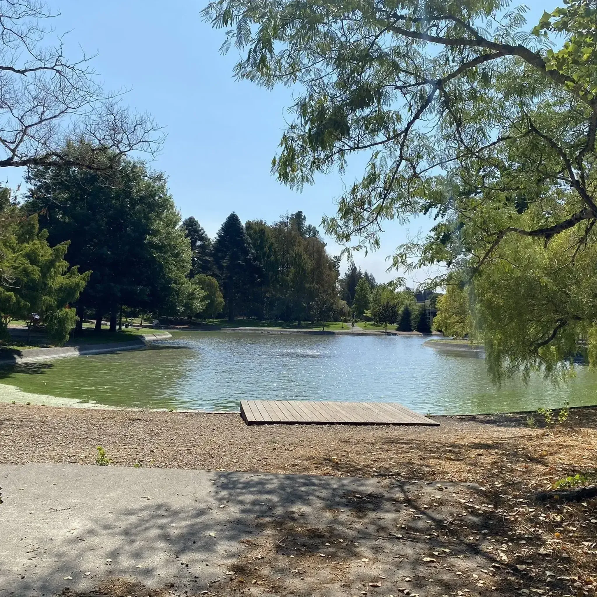
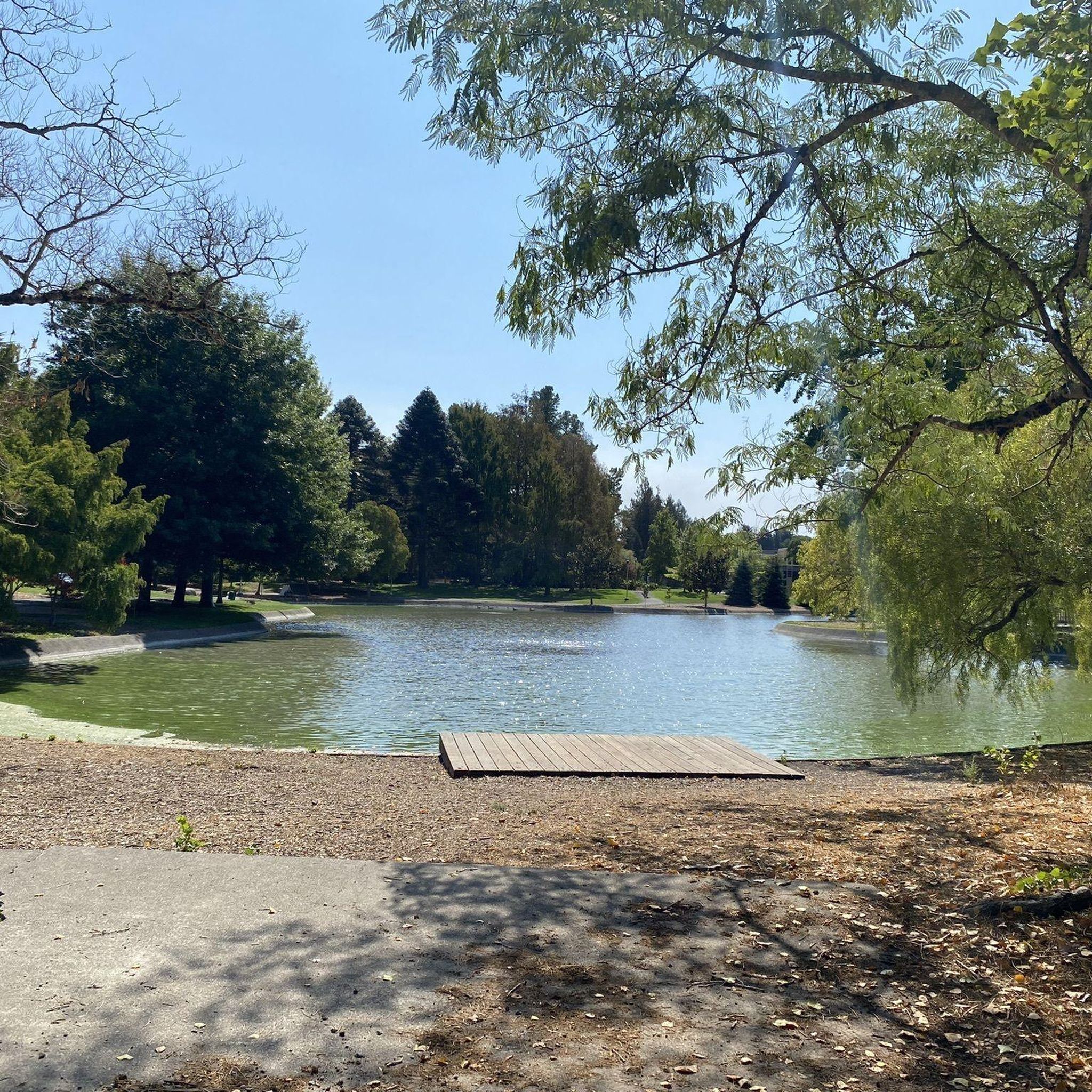
The region is rich in natural beauty and landmarks. You can run past the tranquil University Lakes and Copeland Creek on campus. Off-campus, trails lead through oak woodlands and meadows to Lake Ilsanjo in Annadel State Park. The North Sonoma Mountain Ridge Trail offers stunning views of Sonoma Valley, and you can even explore parts of Jack London State Historic Park, preserving the author's home and ranch.
What do other runners enjoy the most about jogging in Sonoma State University?
Runners frequently praise the diverse terrain and scenic beauty of the area. The mix of accessible campus paths, tranquil lake loops, and challenging trails through oak woodlands and redwood groves provides options for all levels. The opportunity to connect with nature, spot wildlife, and enjoy varied landscapes is a common highlight.
Are there any running routes that are particularly good for wildlife spotting?
Yes, many routes offer opportunities for wildlife spotting. Trails along Copeland Creek on campus, or within larger parks like Annadel State Park and North Sonoma Mountain Regional Park, traverse natural habitats where you might encounter various bird species, deer, and other local fauna. The Butterfly Garden on campus is also a vibrant spot for observing insects.
Are there running routes near Sonoma State University with convenient parking?
Many of the regional parks and trailheads in the Sonoma State University area offer dedicated parking facilities. For example, routes starting from Annadel State Park or North Sonoma Mountain Regional Park typically have parking available at their trailheads. On-campus routes are also easily accessible with university parking options.
What is the best time of year for running near Sonoma State University?
Spring and fall are generally ideal for running in Sonoma County, offering mild temperatures and beautiful scenery. Spring brings wildflowers, while fall showcases vibrant foliage. Summer mornings are also pleasant before the heat sets in. Winter can be good, but some trails might be muddy after rain, so checking conditions is advisable.
Are there any running routes that connect to other significant park areas?
Yes, the Santa Rosa Creek Reservoir – Spring Lake Park loop from Montgomery Village is a prime example, connecting Spring Lake Park with the Santa Rosa Creek Reservoir. Additionally, Spring Lake Park's paths connect to Lake Ilsanjo in Annadel State Park, allowing for extended running adventures across multiple park landscapes.
Most popular routes around Sonoma State University
Most popular attractions around Sonoma State University

Get inspired with the komoot mobile app


Explore more
Browse the best Running Trails & Routes in other regions.
