The best walks and hikes around Sonoma State University
4.8
(7)
155
hikers
16
hikes
Hiking around Sonoma State University offers access to diverse natural landscapes, from coastal bluffs to ancient redwood forests and rolling hills. The region is characterized by varied terrain, including seasonal creeks, oak woodlands, and mountainous areas like Sonoma Mountain. Numerous regional parks and preserves provide extensive trail networks for outdoor exploration. This area features a mix of accessible on-campus paths and more challenging routes in the wider Sonoma County.
Best hiking trails around Sonoma State University
- The most popular hiking route is Redtail and Sky Lupine Trail Loop, a 5.0 miles (8.0 km) trail that takes 2 hours 32 minutes to complete, offering steady climbs and views of Santa Rosa.
- Another top favourite among local hikers is Western Route and Sky Lupine Trail Loop, a moderate 4.5 miles (7.2 km) path. This route provides varied terrain and rewarding views from Taylor Mountain.
- Local hikers also love the Umbrella Tree Trail, a 2.1 miles (3.4 km) trail leading through shaded forest to a notable viewpoint, often completed in about 1 hour 4 minutes.
- Hiking around Sonoma State University is defined by ancient redwood forests, rolling hills, and seasonal creeks. The network offers options for various ability levels, from easy campus walks to more challenging climbs in regional parks.
- The routes in Sonoma State University are highly rated by the komoot community with an average score of 4.8 stars from over 5 reviews. More than 100 hikers have used komoot to explore Sonoma State University's varied terrain.
Last updated: August 26, 2026
4
hikers
4.14km
01:23
360m
0m
Hike the moderate 2.6-mile Taylor Mountain via Western and Eastern Route for panoramic views of Sonoma County and diverse landscapes.
3.05km
00:57
200m
0m
Enjoy an easy 1.9-mile hike to Bennett Valley Overlook for panoramic views of Sonoma County, gaining 657 feet in under an hour.

Sign up for free
7.20km
02:14
310m
220m
Hike the moderate 4.5-mile Western Route and Sky Lupine Trail Loop in Taylor Mountain Regional Park, enjoying panoramic views and spring wil
4.0
(4)
31
hikers
8.02km
02:32
340m
340m
Hike the moderate 5.0-mile Redtail and Sky Lupine Trail Loop in Taylor Mountain Regional Park for panoramic views and spring wildflowers.
9
hikers
3.41km
01:04
140m
140m
Hike the easy 2.1-mile Umbrella Tree Trail to a scenic overlook with panoramic views in North Sonoma Mountain Regional Park.
Get access to more routes and recommendations from other explorers.
Sign up for free
Already have an account?
Our route recommendations are based on thousands of hikes, rides, and runs completed by other people on komoot.
Start today with a free account
Your next adventure awaits.
Login or Signup
Popular around Sonoma State University


Tips from the Community

Leading to Taylor Mountain, this trail offers a consistent incline from start to finish. The city skyline views that unfold along the way are truly breathtaking. If you happen to experience a sunset along this trail, you'll be rewarded with a memorable sight.
0
0
Located at the northernmost point of the Sonoma Mountains, Taylor Mountain gets its name from John Shackleford Taylor, a California Gold Rush era pioneer. Reaching the summit involves ascending a steep and somewhat rocky path, but the panoramic views of Taylor Mountain Regional Park at the top make the effort well worthwhile.
1
0

Umbrella Tree is a cluster of giant bay laurels. Along with spectacular views there is an informative sign at the top that points out major landmarks such as Santa Rosa, English Hill, Sebastopol, Bennet Valley and more. There is also a picnic table that's ideal for a snack with a view before you head back down.
0
0
Frequently Asked Questions
How many hiking trails are available around Sonoma State University?
There are over 10 hiking routes available around Sonoma State University, offering a diverse range of experiences from easy campus walks to more challenging climbs in regional parks. The komoot community has explored these trails over 100 times.
What kind of terrain can I expect on hikes near Sonoma State University?
The region offers incredibly diverse terrain. You can expect everything from tranquil walks along seasonal creeks and through oak woodlands, to trails winding through ancient redwood forests, rolling hills, and even mountainous areas like Sonoma Mountain. Coastal bluffs and ocean views are also accessible further afield.
Are there easy hiking trails suitable for beginners near Sonoma State University?
Yes, there are several easy options. On campus, the Copeland Creek Trail offers a tranquil walk. For a slightly longer but still easy experience, consider the Hiking loop from Taylor Mountain Regional Park and Open Space Preserve. Many regional parks also feature accessible paths, such as the easy walks found in Armstrong Redwoods State Natural Reserve.
Where can I find challenging hikes around Sonoma State University?
For more challenging hikes, consider parks like Sugarloaf Ridge State Park, known for climbs to peaks like Bald Mountain, or Hood Mountain Regional Park, which offers rugged terrain and steep ascents to viewpoints like Gunsight Rock. Taylor Mountain Regional Park also has moderate to challenging options, such as the Taylor Mountain via the Red Tail Trail loop.
Are there any circular hiking routes available?
Yes, several circular routes are popular. The Taylor Mountain via Sky Lupine Trail & Todd Creek Trail loop is a moderate option offering varied terrain and rewarding views. Another popular loop is the Taylor Mountain via the Red Tail Trail loop, which provides steady climbs and views of Santa Rosa.
Are there family-friendly hiking options near Sonoma State University?
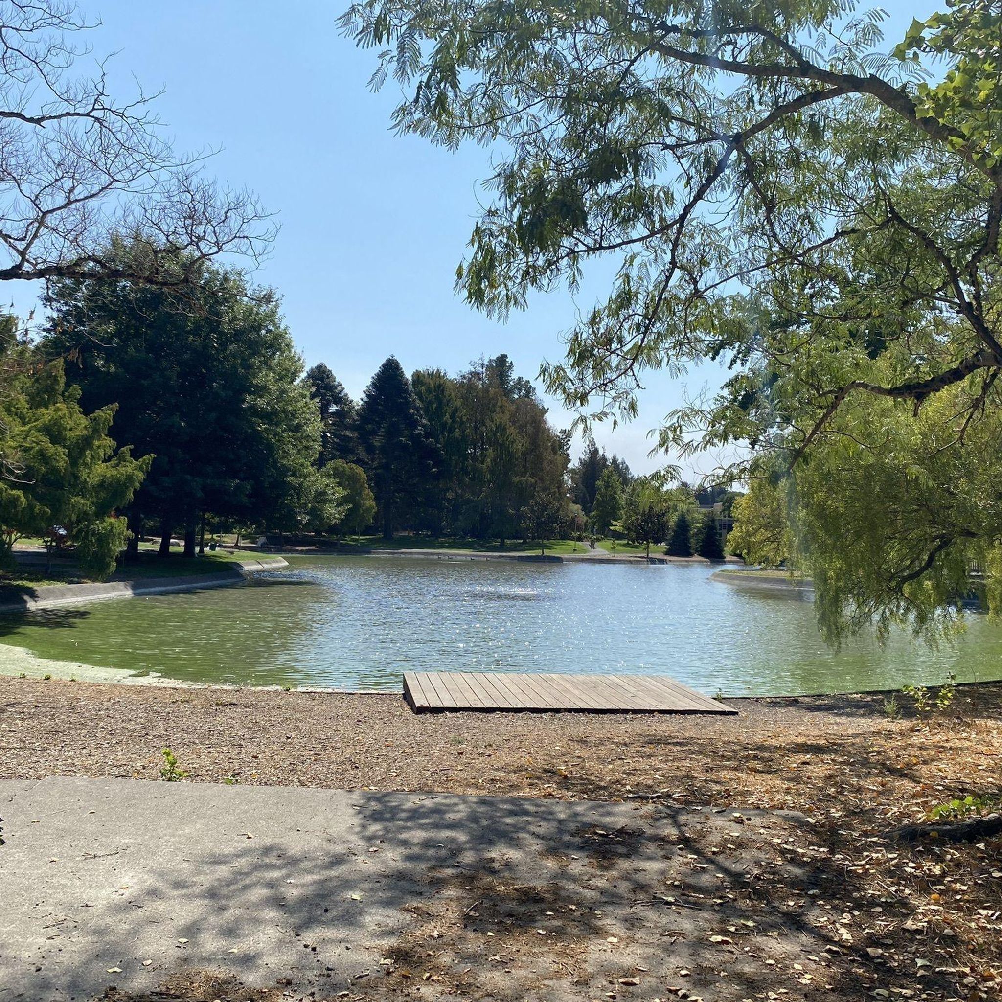
Absolutely. The on-campus Copeland Creek Trail is suitable for all skill levels. The University Lakes and Redwood Circle areas on campus also provide relaxing spots. For a natural experience, Armstrong Redwoods State Natural Reserve offers easy, flat walks among ancient trees, perfect for families.
Can I hike with my dog on trails near Sonoma State University?
Many regional parks in Sonoma County are dog-friendly, often requiring dogs to be on a leash. However, specific rules can vary by park and trail. It's always best to check the individual park's regulations before heading out with your furry friend to ensure a pleasant experience for everyone.
Are there trails with good viewpoints or landmarks?
Yes, the region is rich with scenic viewpoints and historical landmarks. The Umbrella Tree Overlook in North Sonoma Mountain Regional Park offers notable views. For panoramic vistas, trails in Sugarloaf Ridge State Park lead to Bald Mountain with 360-degree views. You can also explore historical sites like Jack London State Historic Park, which combines trails with historical attractions.
What is the best time of year to hike near Sonoma State University?
Hiking is enjoyable year-round, but each season offers a different experience. Spring brings wildflowers and lush greenery. Summer is ideal for shaded redwood groves or coastal trails. Fall offers pleasant temperatures and changing foliage. Winter can be beautiful with cooler weather and fewer crowds, though some trails might be muddy after rain. Always check weather conditions before you go.
What do other hikers enjoy most about hiking near Sonoma State University?
The area is highly rated by the komoot community, with an average score of 4.8 stars from over 9 reviews. Reviewers often praise the diverse landscapes, from shaded forests to open ridgelines, and the rewarding views from various peaks. The accessibility of both on-campus and regional park trails is also frequently highlighted.
Are there any trails that feature waterfalls?
Yes, Sugarloaf Ridge State Park is known for featuring a seasonal waterfall, which is particularly impressive after winter rains. While not abundant, this park offers a chance to experience a waterfall amidst challenging climbs and stunning views.
What are some notable natural features to look out for on trails?
Beyond the diverse ecosystems, keep an eye out for the ancient coast redwoods in Armstrong Redwoods State Natural Reserve, some over 1,400 years old. The University Lakes and Redwood Circle on campus are home to local wildlife like ducks and turtles. You might also spot unique flora in the Butterfly Garden and Native Plant Garden near the Copeland Creek Trail.
Most popular routes around Sonoma State University
Most popular attractions around Sonoma State University

Get inspired with the komoot mobile app


Explore more
Browse the best Hikes in other regions.
