The best running trails around Area H (Lighthouse Country)
67
runners
8
runs
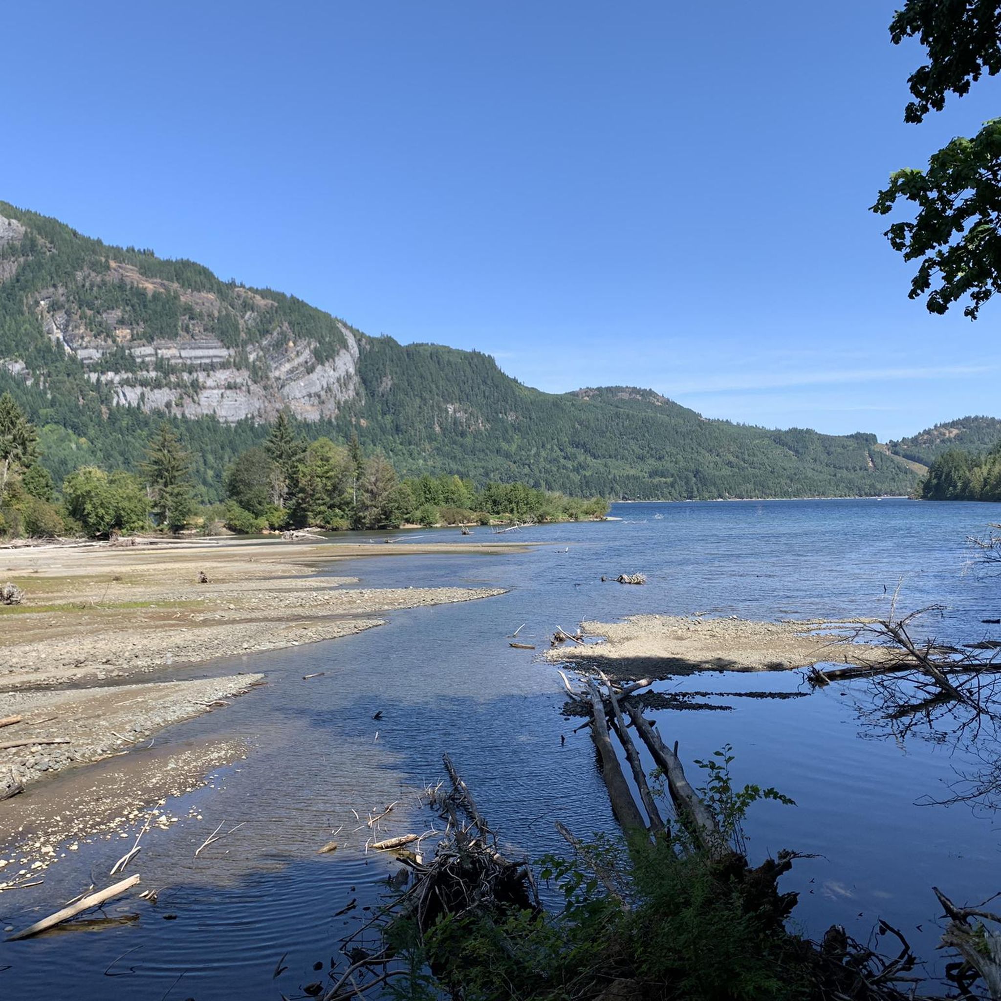
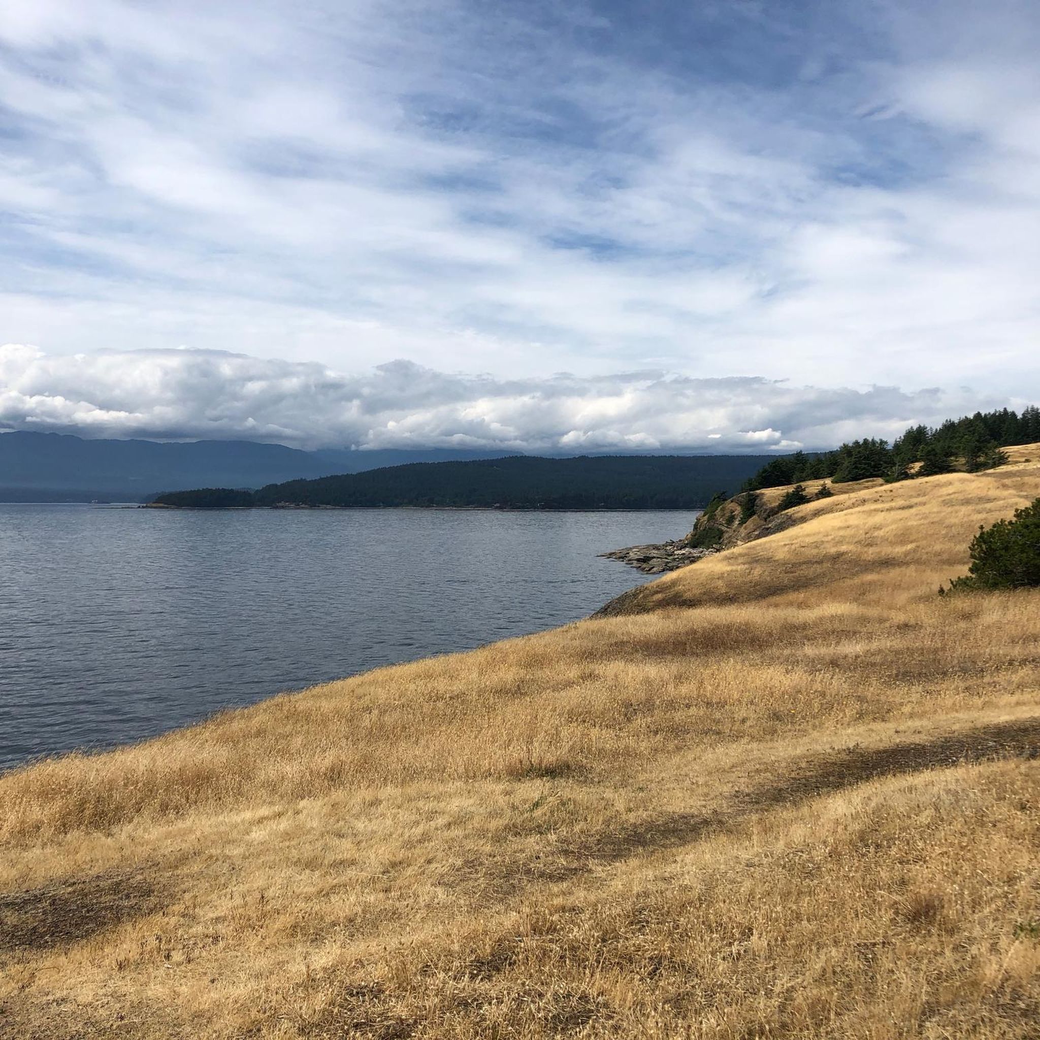
Jogging routes around Area H (Lighthouse Country) offer a diverse landscape for outdoor activity on Vancouver Island, British Columbia. The region features over 60 miles of coastal shoreline along the Strait of Georgia, providing ocean views and beach access. Inland, lush forests with Douglas-fir trees and numerous trails characterize the terrain. Several provincial parks contribute to the varied scenery, including areas with waterfalls, old-growth trees, and serene lake environments.
Best jogging routes around Area H (Lighthouse Country)
- The most popular…
Last updated: October 14, 2026
16
runners
9.46km
00:59
70m
70m
Moderate run. Good fitness required. Mostly paved surfaces. Suitable for all skill levels.
16
runners
13.7km
01:26
100m
100m
Moderate run. Good fitness required. Mostly paved surfaces. Suitable for all skill levels.

14
runners
4.53km
00:28
40m
40m
Easy run. Great for any fitness level. Mostly paved surfaces. Suitable for all skill levels.
12
runners
9.57km
01:08
180m
180m
Moderate run. Good fitness required. Mostly paved surfaces. Suitable for all skill levels.
5
runners
9.92km
01:04
120m
120m
Moderate run. Good fitness required. Mostly paved surfaces. Suitable for all skill levels.
Get access to more routes and recommendations from other explorers.
Already have an account?
Our route recommendations are based on thousands of hikes, rides, and runs completed by other people on komoot.
Start today with a free account
Your next adventure awaits.
Popular around Area H (Lighthouse Country)
Tips from the Community

APL Grade stands for Alberni Pacific Lumber Grade. The name comes from an abandoned early 20th-century railway grade originally cleared by the Abbotsford Lumber Company, once used to haul massive old-growth timber down the hill to the mill. Today, hikers and bikers use this relatively wide, flat, and gentle trail to explore the thick woods.
0
0
Boondoggle is a singletrack dirt path that offers an undulating, technical, and winding experience for mountain bikers and for hikers it is a peaceful trail, passing though thick forest with a small climb on a narrow trail. Bikers note fun, flowing trail featuring wooden bridges, a few technical skinnies, and tight tree gaps that can be a close squeeze for bike handlebars.
0
0
Just east of Port Alberni, sits the lush and beautiful Alberni Valley Community Forest. These thick woods have multi use trail systems and are rich with Pacific Northwest temperate rainforest trees with dense canopy layers of Douglas fir, western red cedar, and western hemlocks.
0
0

This wide, multi-use trail is often used by hikers, mountain bikers, and joggers. While a nice trail in its own right, it is mainly used as an access point for other trails in the Alberni Valley Trail Network.
0
0

Indecision Trail is a winding forest path that weaves through dense second-growth forest, with gentle bends and short rolling sections. As part of the Alberni Valley trail network, it connects to several nearby trails and is a popular route for hikers, runners, and mountain bikers exploring longer loops in the area. The quiet forest setting and narrower singletrack make it feel more tucked into the woods than some of the wider trails of the surrounding routes.
0
0

A cute little museum, made with a lot of love. Next door is the former train station with a steam locomotive.
1
0
Frequently Asked Questions
How many running trails are available in Area H (Lighthouse Country)?
Area H (Lighthouse Country) offers a selection of 9 running routes. These include options for various skill levels, from easy loops to more challenging moderate and difficult paths.
What kind of scenery can I expect on a jog in Lighthouse Country?
You'll experience a diverse landscape, from stunning coastal shorelines along the Strait of Georgia to lush Douglas-fir forests. Many routes wind through provincial parks, offering serene natural beauty, and some even feature impressive waterfalls.
Are there any running routes with waterfalls in the region?
Yes, you can definitely find running routes that pass by beautiful waterfalls. For instance, the Upper Falls loop from Little Qualicum Falls - Upper Campground is a popular choice that leads through lush forest and past impressive cascades. Other notable waterfalls in the area include Stamp Falls and Canyon and Hole-in-the-Wall.
Are there circular running routes in Area H (Lighthouse Country)?
Yes, many of the running routes in Lighthouse Country are circular, providing convenient loops for your jog. Examples include the L.167 loop from McLean Mill National Historic Site and the McLean Mill Log Pond – L.167 loop from Maplehurst Park, both offering immersive experiences.
What do other runners say about the trails in Lighthouse Country?
The running routes in Area H (Lighthouse Country) are highly regarded by the komoot community, boasting an average rating of 5.0 stars. Runners frequently praise the varied terrain, from coastal views to forest paths, and the well-maintained nature of the trails.
Are there options for beginner or family-friendly jogging trails?
Absolutely. While many routes are moderate, there are easy options suitable for beginners or families. The Upper Falls loop from Little Qualicum Falls - Upper Campground is an easy 2.8-mile (4.5 km) trail that offers beautiful scenery without being overly strenuous.
Can I see wildlife while jogging in Lighthouse Country?
Yes, Lighthouse Country is known for its abundant wildlife. You might spot bald eagles, herons, seals, and sea lions, especially along the coastal routes. The forest trails also offer opportunities for birdwatching and encountering local fauna.
Are there any unique natural landmarks or attractions to see along the paths?
Beyond the stunning natural landscapes, you can encounter unique landmarks. MacMillan Provincial Park, for example, features the impressive Cathedral Trail and the ancient The Big Tree (Douglas-fir). The Stamp Falls and Canyon also offers trails with viewpoints overlooking the annual Pacific salmon migration.
Are there any longer distance running options for more advanced runners?
Yes, for those looking for a longer run, the McLean Mill Log Pond – L.167 loop from Maplehurst Park is a moderate 8.5-mile (13.7 km) path that provides an extended, immersive experience through forested areas.
Are there less crowded jogging spots in Area H (Lighthouse Country)?
While popular spots can see more visitors, exploring trails within parks like Rosewall Creek Provincial Park can often lead to less-traveled paths. Early mornings or weekdays are generally good times to find more solitude on any trail.
Are there any jogging routes accessible by public transport?
While specific public transport access points for each route are not detailed, many trails are located near communities like Qualicum Bay and Bowser. It's advisable to check local transit schedules and routes for connections to trailheads, as the region is generally more rural.
Are there specific trails that offer coastal views for running?
Lighthouse Country boasts over 60 miles of shoreline along the Strait of Georgia, so many routes will offer stunning ocean views. While specific coastal running routes are not listed in detail, areas like Sunny Beach and Deep Bay provide opportunities for tranquil runs alongside the water.
Most popular attractions around Area H (Lighthouse Country)

Get inspired with the komoot mobile app


Explore more
Browse the best Running Trails & Routes in other regions.
