The best walks and hikes around Area H (Lighthouse Country)
4.4
(180)
1,159
hikers
48
hikes
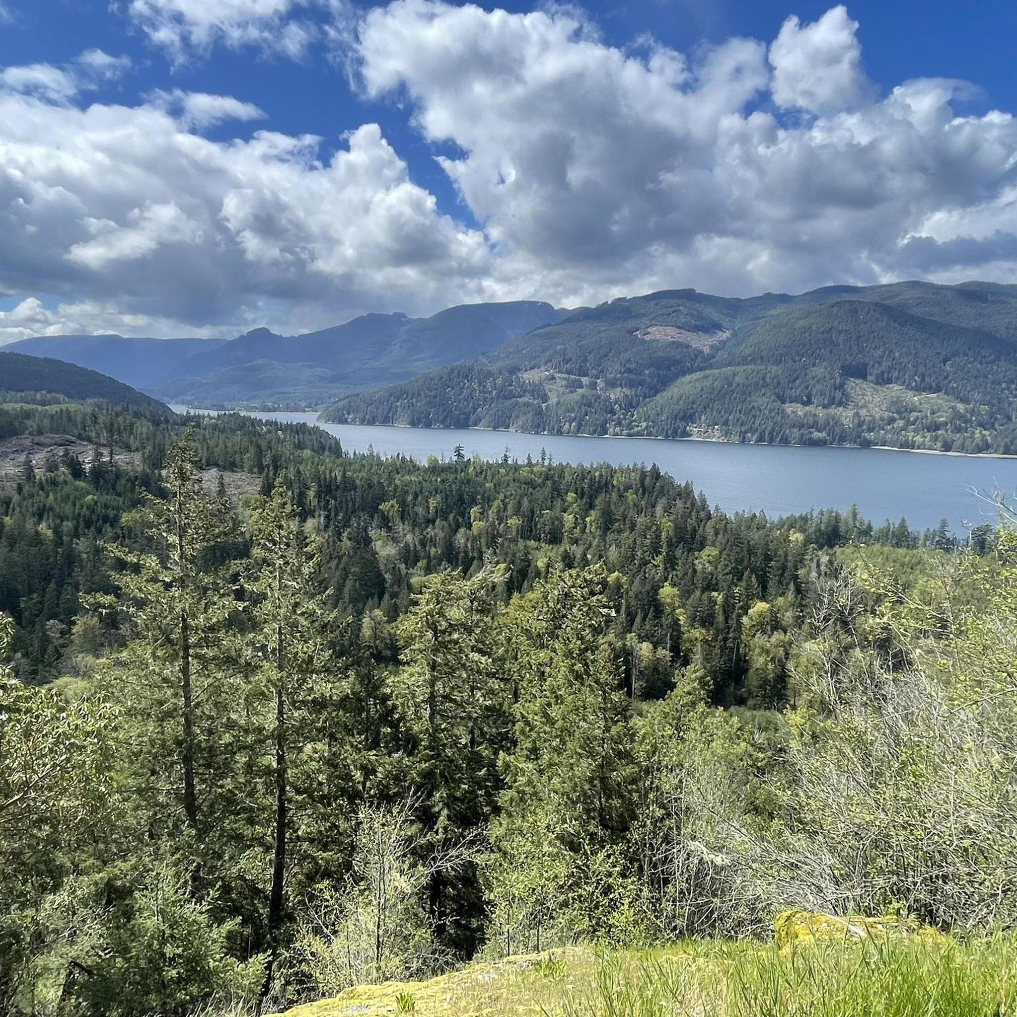
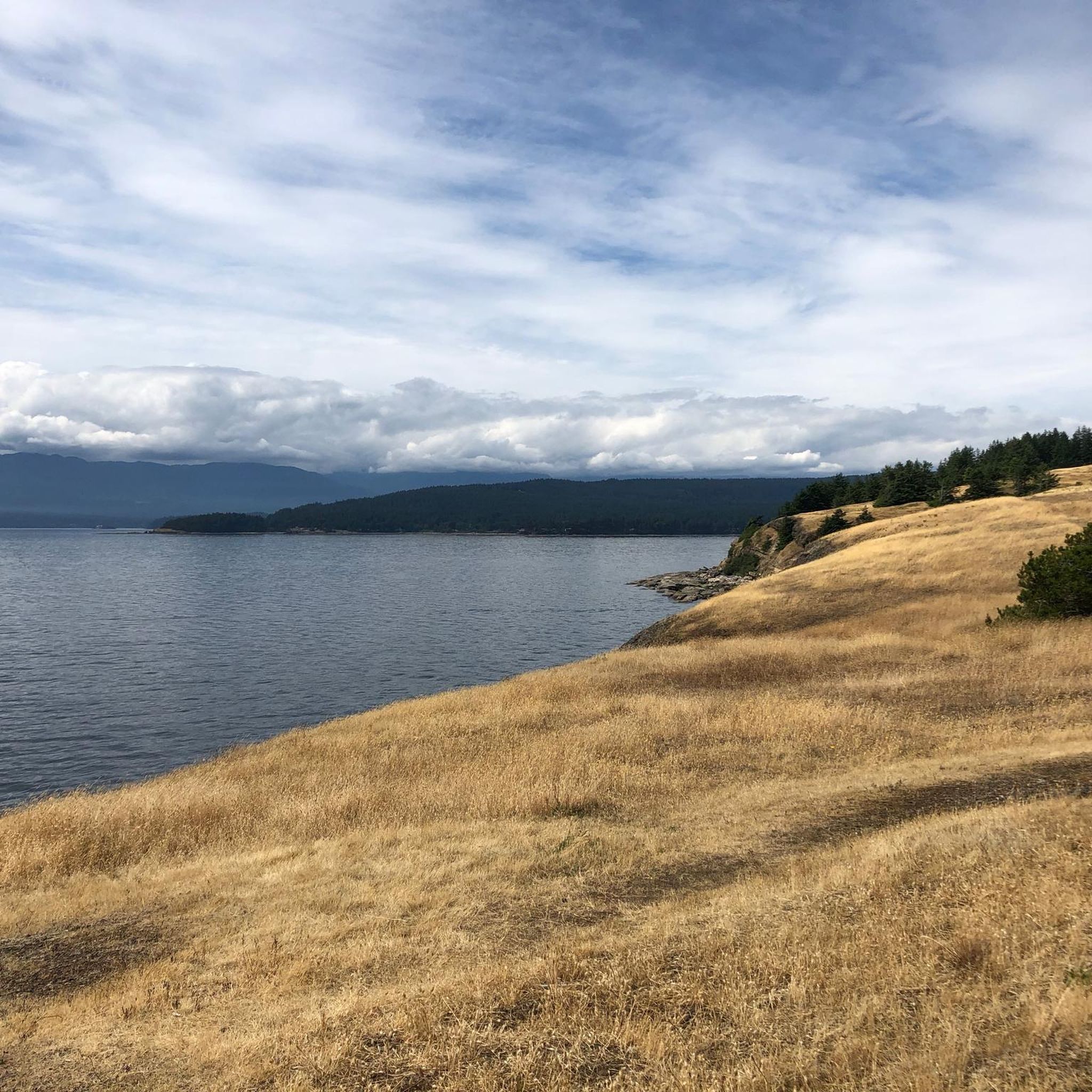
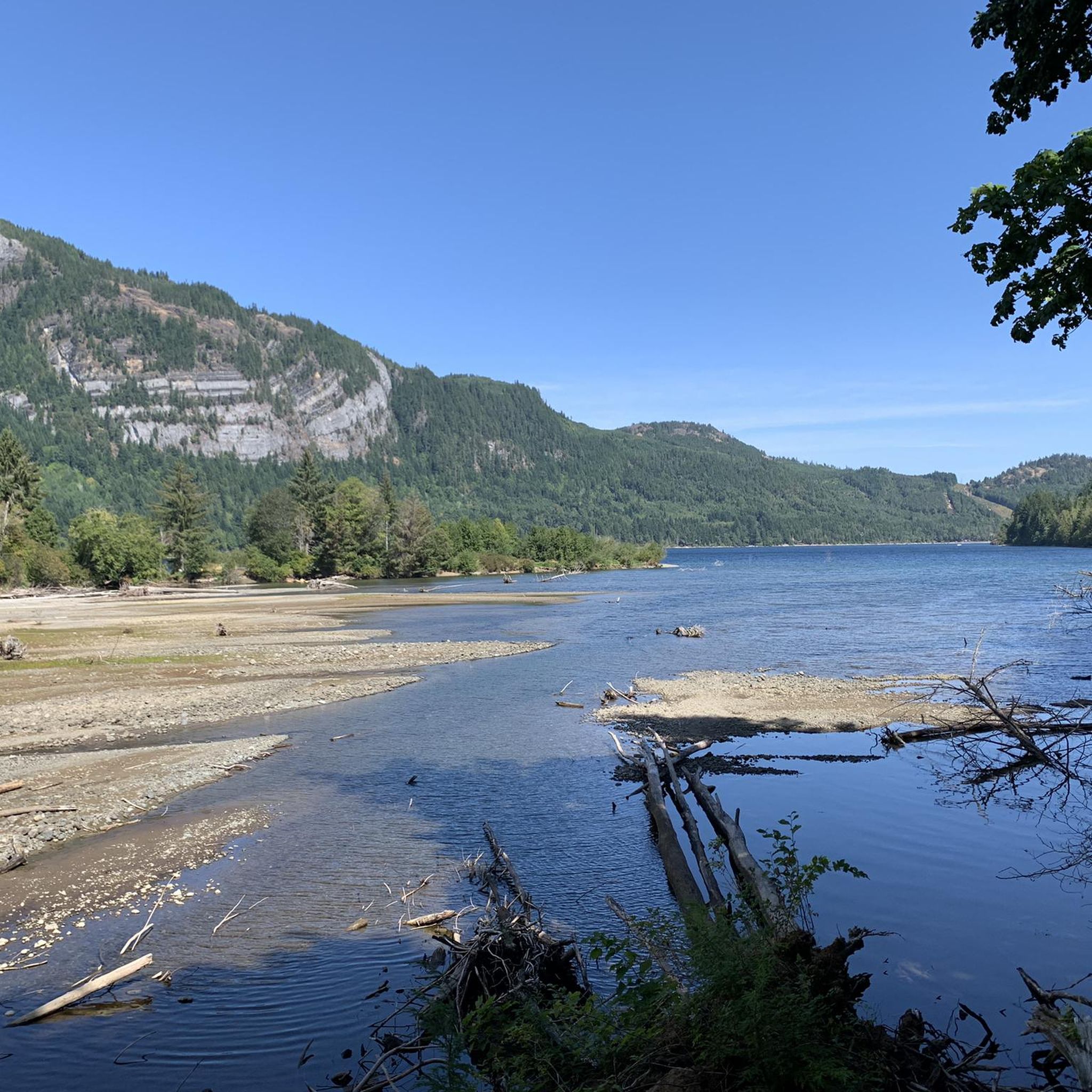
Hiking around Area H (Lighthouse Country) explores a coastal region on the east side of central Vancouver Island, British Columbia. The area features over 60 miles of rugged shoreline along the Strait of Georgia, complemented by sandy beaches and tidal pools. Inland, the landscape transitions to pristine wilderness, characterized by towering Douglas-fir forests, rivers, and lakes. This diverse terrain offers a variety of environments for outdoor activities.
Best hiking trails around Area H (Lighthouse Country)
- The most popular hiking route…
Last updated: June 28, 2026
5.0
(3)
21
hikers
9.71km
02:36
110m
110m
Moderate hike. Good fitness required. Easily-accessible paths. Suitable for all skill levels.
3
hikers
3.95km
01:09
100m
100m
Easy hike. Great for any fitness level. Easily-accessible paths. Suitable for all skill levels.

Sign up for free
7
hikers
5.71km
01:30
40m
40m
Easy hike. Great for any fitness level. Easily-accessible paths. Suitable for all skill levels.
4.19km
01:06
40m
40m
Easy hike. Great for any fitness level. Easily-accessible paths. Suitable for all skill levels.
1
hikers
5.12km
01:27
110m
110m
Easy hike. Great for any fitness level. Easily-accessible paths. Suitable for all skill levels.
Get access to more routes and recommendations from other explorers.
Sign up for free
Already have an account?
Our route recommendations are based on thousands of hikes, rides, and runs completed by other people on komoot.
Start today with a free account
Your next adventure awaits.
Login or Signup
Popular around Area H (Lighthouse Country)
Tips from the Community

The Beauford East Woodlands parking lot is a dirt parking area without restrooms and without water fountains, so come prepared. There's plenty of parking in this dirt area and nice turnaround spots for larger vehicles.
0
0
Beauford East Woodlands is thickly forested by Douglas-fir, western red cedar, and western hemlock. The trees are an impressive second growth forest. There is a network of forest service trails weaving throughout the forests, with occasional lookout points to Deep Bay. The area is quiet and not crowded, a peaceful getaway into nature.
0
0
McNaughton Creek Forest Service Road is a low-key forested dirt road. It's wide and shaded, great for mountain biking or walking side by side with a hiking buddy. The gentle climb and low elevation is great for being able to keep up a conversation.
0
0
The Deep Bay Community Trail passes through coastal forests with moss-covered ground. Be careful when crossing small creeks and crossing over the railroad tracks. After rain the ground becomes muddy and slick, and in some notoriously muddy areas there are some flat wooden boards laid over it. The boards that have been on the trail for a few years are moss-covered and can also become slick, so trekking poles are advised after rain.
0
0
Deep Bay Marine Field Station is an educational centre popular with school field trips. Sitting right on the water's edge, this centre has a touch pool, wet and dry labs, and two marine vessels. There are also 11 hectares of shellfish farms right off the coast.
0
0
Deep Bay Marina is home to a dock, a boat launch, and the Ship and Shore Restaurant & Marine Fuelling Station. Deep Bay got its name from its deep, steeply dropping coastal shores but was once named Hare Bay. The name was changed to avoid confusion with other Hare Bays.
0
0
Hole-in-the-Wall is a small but unique natural waterfall. The waterfall gets its name from a literal hole in the wall, creating a “keyhole” effect that’s especially exciting after rain or during spring runoff. Mossy rock walls, ferns, and dense coastal forest surround this waterfall.
1
0
This wooden suspension bridge spans Rogers Creek. It is wide enough for one person and has simple ropes as guardrails.
1
0
Frequently Asked Questions
How many hiking trails are available in Area H (Lighthouse Country)?
There are over 40 hiking routes in Area H (Lighthouse Country) documented on komoot. These range from easy coastal walks to more moderate forest trails, offering diverse experiences for all skill levels.
What kind of terrain can I expect on hikes in Lighthouse Country?
Lighthouse Country offers a diverse range of terrain. You'll find rugged shorelines and sandy beaches, lush Douglas-fir forests, serene river valleys, and even trails leading to ancient cave systems. Many trails feature compact gravel paths, forest service roads, and singletrack sections.
Are there any family-friendly hiking options in Area H (Lighthouse Country)?
Yes, many trails in Lighthouse Country are suitable for families. For an easy and accessible option, consider the Lighthouse Country Regional Trail South Loop, which features both wheelchair-accessible and rougher sections through forests and wetlands. The Cathedral Grove Trail loop from MacMillan Provincial Park is also an easy, shorter option to explore ancient trees.
Can I bring my dog on the hiking trails in Lighthouse Country?
Many trails in Lighthouse Country are dog-friendly, but it's always best to check specific park regulations before you go. Generally, dogs are welcome on leash in most regional parks and trails. For example, the Lighthouse Country Regional Trail is a popular choice for dog walkers.
Are there any waterfalls to see along the hiking routes?
Yes, Lighthouse Country features several beautiful waterfalls. The Nile Creek Trail — Qualicum Bay showcases picturesque scenes of the creek and waterfalls, including Nile Creek Falls. You can also find Qualicum Falls and Stamp Falls and Canyon in the wider region.
What are some notable natural features or landmarks to look out for?
Lighthouse Country is rich in natural landmarks. Beyond the lighthouses themselves, you can explore the ancient trees at Cathedral Trail, MacMillan Park, home to The Big Tree (Douglas-fir). Horne Lake Caves Provincial Park offers unique cave systems, and the coastline provides stunning views of the Strait of Georgia.
Are there any circular hiking routes in the area?
Yes, there are several circular routes available. A popular option is the Lighthouse Country Regional Trail South Loop, which offers a scenic forest walk. Another loop trail is the Cathedral Grove Trail loop from MacMillan Provincial Park.
What do other hikers say about the trails in Area H (Lighthouse Country)?
The trails in Area H (Lighthouse Country) are highly rated by the komoot community, with an average score of 4.4 stars from over 150 reviews. Hikers often praise the region's diverse landscapes, from rugged coastlines to lush forests, and the well-maintained paths that cater to various abilities.
When is the best time of year to go hiking in Lighthouse Country?
Lighthouse Country is a great hiking destination year-round due to its 'green all year round' landscape. Spring and summer offer pleasant temperatures for coastal and forest walks. Autumn is particularly scenic, especially in places like Rosewall Creek Provincial Park, where maple trees display vibrant fall colors. Winter hiking is also possible, though conditions may vary.
Is there public transport or parking available near the trailheads?
While specific public transport options directly to all trailheads might be limited, parking is generally available at popular access points for trails like the Lighthouse Country Regional Trail, Rosewall Creek Provincial Park, and Horne Lake Caves Provincial Park. It's advisable to check local transport schedules and parking availability for your chosen trailhead in advance.
Are there any easy hikes suitable for beginners?
Absolutely. Lighthouse Country offers many easy trails perfect for beginners. The Rosewall Creek Falls trail is an easy 6 km path following the scenic Rosewall Creek. The Lighthouse Country Regional Trail South Loop is another accessible option, offering a gentle forest walk.
Where can I find places to eat or stay near the hiking areas?
The communities within Lighthouse Country, such as Qualicum Bay, Bowser, and Deep Bay, offer various amenities including cafes, pubs, and accommodation options. You can find local establishments to refuel and relax after your hike. For more information on local services, you might find resources on the Visit Parksville Qualicum Beach website helpful.
Most popular routes around Area H (Lighthouse Country)
Most popular attractions around Area H (Lighthouse Country)

Get inspired with the komoot mobile app


Explore more
Browse the best Hikes in other regions.
