The best mountain hikes around Saint-Étienne-Le-Laus
5.0
(2)
12
hikers
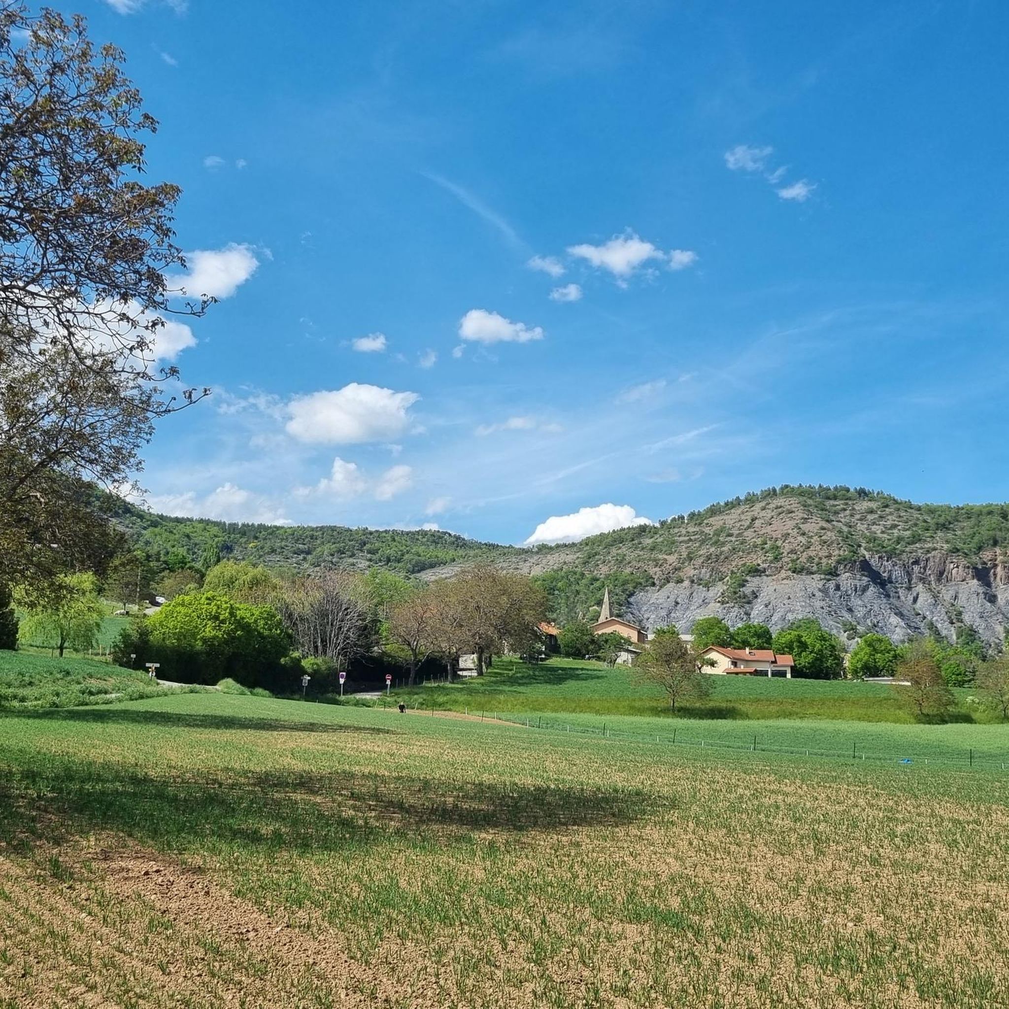
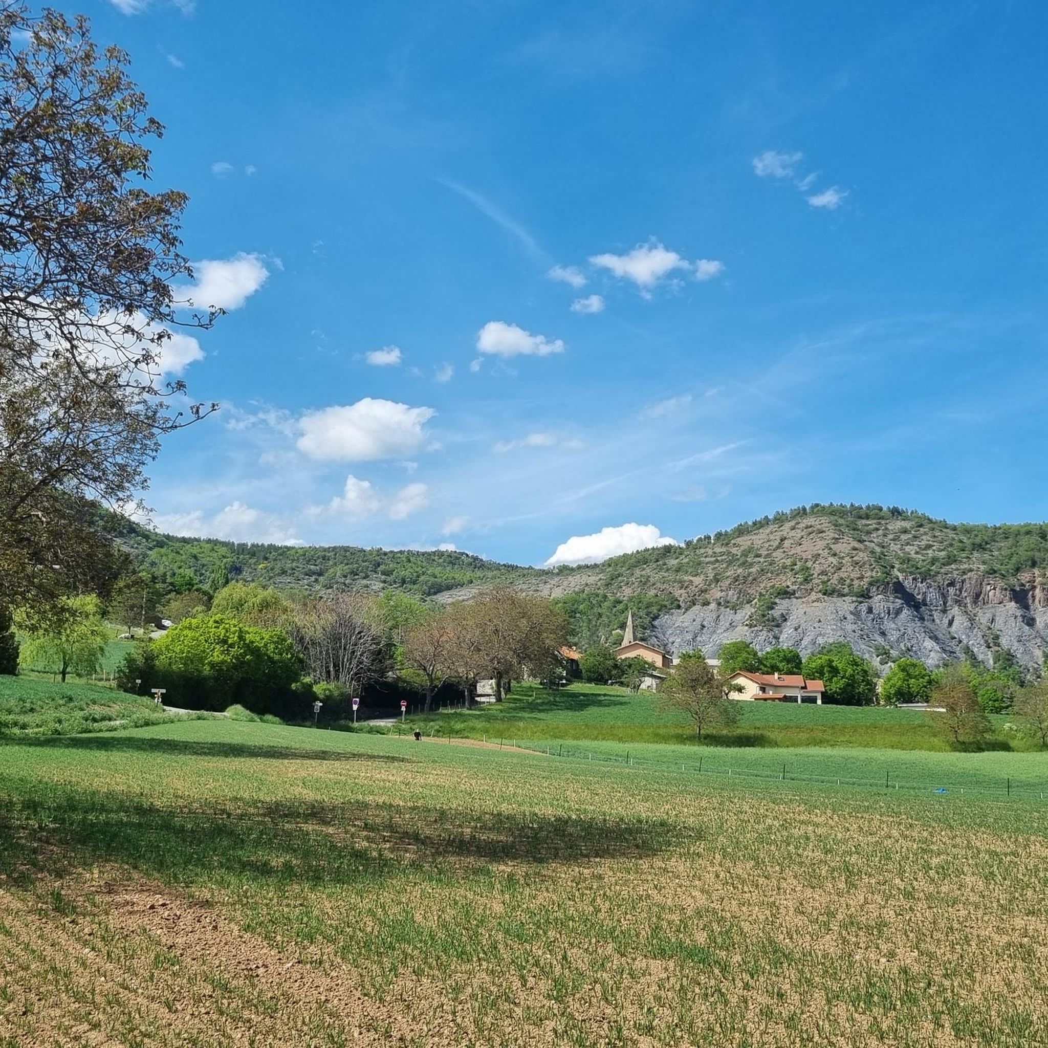
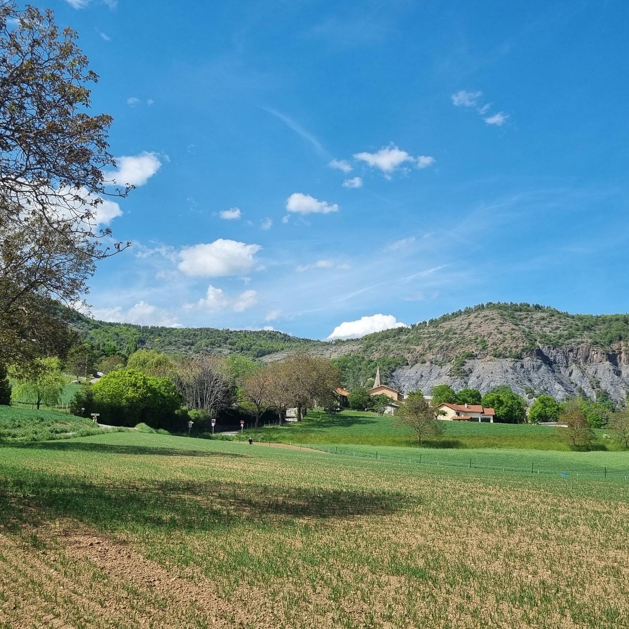
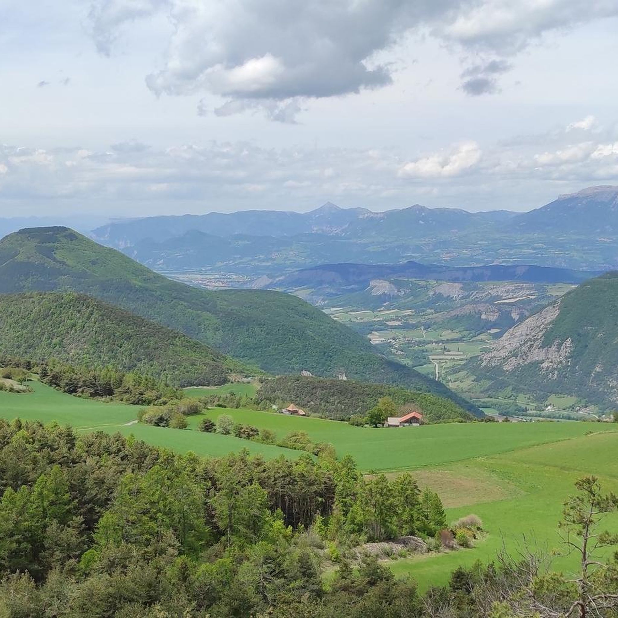
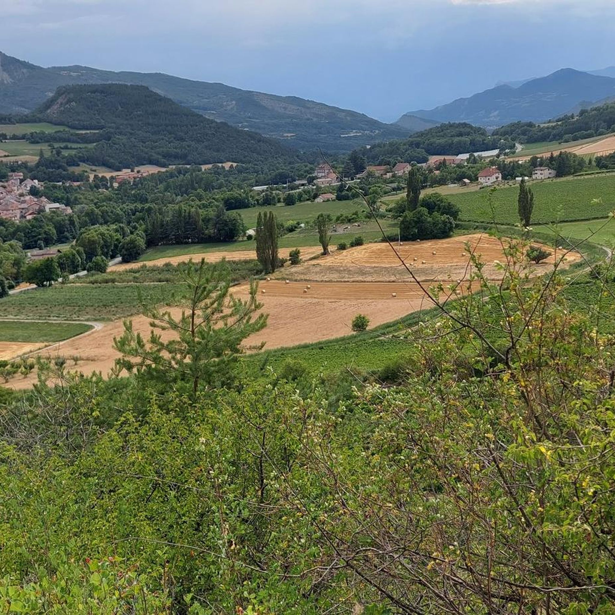
Mountaineering routes around Saint-Étienne-Le-Laus are set within the diverse landscapes of the Hautes-Alpes, characterized by picturesque valleys and varied terrain. The region offers prominent views of the Avance and Durance valleys, featuring distinctive dry marl formations and serene shady forests. Key natural highlights include Puy Maurel Mountain and the proximity to Serre-Ponçon Lake, providing a rich environment for outdoor exploration.
Best mountaineering routes around Saint-Étienne-Le-Laus
- The most popular mountaineering route is Pic de Charance – La Brèche de Charance loop…
Last updated: July 9, 2026
5.0
(1)
8
hikers
9.08km
03:54
800m
800m
Moderate mountaineering route. Good fitness required. Easily-accessible paths. Suitable for all skill levels.
2
hikers
12.8km
04:58
860m
860m
Moderate mountaineering route. Good fitness required. Easily-accessible paths. Suitable for all skill levels.

Sign up for free
5.0
(1)
2
hikers
6.72km
01:51
110m
110m
Easy mountaineering route. Great for any fitness level. Easily-accessible paths. Suitable for all skill levels.
Our route recommendations are based on thousands of hikes, rides, and runs completed by other people on komoot.
Start today with a free account
Your next adventure awaits.
Login or Signup
Tips from the Community

Very quiet but (http://rosetoy.cam/) extremely effective.
0
0


visit is of course subject to a fee
1
0

Tallard village is famous for its medieval heritage, particularly the 14th-16th century castle. The streets are narrow and winding and you can really feel the medieval heritage while walking or riding around.
1
0

This path borders the Gap canal. The Gap canal collects water from the Drac in Haut-Champsaur and brings it to the Gapençais basin, where it is mainly used to supply the town of Gap with drinking water. The walk along the water reveals beautiful views of the surrounding landscapes.
0
0

The small streets of the town of Tallard lead to its 10th century castle. Its exceptional condition is a reference for all history and architecture enthusiasts.
1
1

A pretty garden in the Charance estate with roses, a waterfall and beautiful paths.
0
0
The Pic de Charance is 1,825 meters above sea level. From the summit, marked with a cross, there are exceptional views of the town of Gap, the Durance valley and the peak of Bure.
1
0
Frequently Asked Questions
What types of landscapes can I expect on mountaineering routes around Saint-Étienne-Le-Laus?
The region around Saint-Étienne-Le-Laus offers diverse landscapes, including picturesque valleys, distinctive dry marl formations, and serene shady forests. You'll encounter prominent views of the Avance and Durance valleys, with routes often leading through alpine forests and past natural features like Puy Maurel Mountain.
Are there any easy mountaineering routes suitable for beginners or those looking for a less strenuous experience?
Yes, while many routes offer significant ascents, there are options for varying skill levels. For a route that is rated as easy, consider the Tallard Castle loop from Tallard, which is 4.2 miles (6.7 km) and takes about 1 hour 50 minutes to complete.
What are some challenging mountaineering routes in the area?
For those seeking a more challenging experience, routes like the Écluse d'Oeuf – Pic de Charance loop from Gap offer varied terrain and substantial ascents over 7.6 miles (12.3 km). Another moderate option with significant elevation gain is the Pic de Charance – La Brèche de Charance loop from Gap, covering 5.1 miles (8.3 km).
What is the best time of year for mountaineering in Saint-Étienne-Le-Laus?
The best season for mountaineering in Saint-Étienne-Le-Laus is generally from spring through autumn, when trails are clear of snow and weather conditions are more stable. Summer offers warm temperatures, while spring and autumn provide cooler weather and often vibrant foliage. Always check local weather and snow conditions, especially for higher elevations like Puy Maurel, before heading out.
Are there any family-friendly mountaineering options or trails suitable for children?
While the listed mountaineering routes are generally moderate, the broader region offers easier trails suitable for families. For example, the Notre-Dame du Laus – Sanctuary of Our Lady of Laus loop (2.5 miles) is an accessible option for spiritual and heritage walks. When choosing a mountaineering route, consider the 'easy' rated Tallard Castle loop from Tallard as a starting point for families.
Can I bring my dog on the mountaineering trails?
Many trails in the Hautes-Alpes are dog-friendly, but it's always best to check specific regulations for each route or protected area. Generally, dogs are welcome on a leash, especially on less technical paths. Ensure your dog is fit for the terrain and carry enough water for both of you.
Are there any circular mountaineering routes available?
Yes, several mountaineering routes in the area are circular. Examples include the Pic de Charance – La Brèche de Charance loop from Gap and the Écluse d'Oeuf – Pic de Charance loop from Gap, both offering a return to your starting point without needing additional transport.
What interesting landmarks or attractions can I see near the mountaineering routes?
The region is rich in natural and historical attractions. You can explore the impressive Serre-Ponçon Dam and the partially submerged Chanteloube Viaduct near Serre-Ponçon Lake. The Lakeside Trail at Lake Serre-Ponçon also offers scenic views. Additionally, the Gorges de la Blanche are nearby for those interested in natural geological formations.
How accessible are the trailheads by public transport, especially for routes near Notre-Dame du Laus?
While Saint-Étienne-Le-Laus itself is a small village, the broader region has some public transport options. The Sanctuire Notre-Dame du Laus is a significant site, and local bus routes might serve it or nearby towns. For specific trailheads, especially those starting from Gap, public transport might be available, but it's advisable to check local bus schedules in advance as services can be limited, particularly for more remote starting points.
Are there designated parking areas at the mountaineering trailheads?
Yes, for many popular trailheads, especially those originating from towns like Gap or near significant attractions like Notre-Dame du Laus, you can usually find designated parking areas. However, during peak season, these can fill up quickly, so arriving early is recommended. Always check for specific parking information for your chosen route.
What do other mountaineers say about the routes in Saint-Étienne-Le-Laus?
The mountaineering routes in Saint-Étienne-Le-Laus are highly rated by the komoot community, with an average score of 5.0 stars from more than 5 reviews. Users often praise the diverse terrain, significant elevation gains, and the magnificent panoramic views offered by routes like those around Pic de Charance.
Are there any cafes or restaurants near the mountaineering routes for refreshments?
Saint-Étienne-Le-Laus and nearby towns like Gap offer various amenities, including cafes and restaurants where you can refuel after your mountaineering adventure. While specific cafes might not be directly on every trailhead, you'll find options in the villages and towns within easy reach of the routes. The area around the Sanctuire Notre-Dame du Laus also provides facilities for visitors.
Most popular routes around Saint-Étienne-Le-Laus
Most popular attractions around Saint-Étienne-Le-Laus

Get inspired with the komoot mobile app


Explore more
Browse the best Mountain Hikes & Routes in other regions.
