Saint-Étienne-Le-Laus
Saint-Étienne-Le-Laus
The best walks and hikes around Saint-Étienne-Le-Laus
4.5
(609)
4,719
hikers
180
hikes
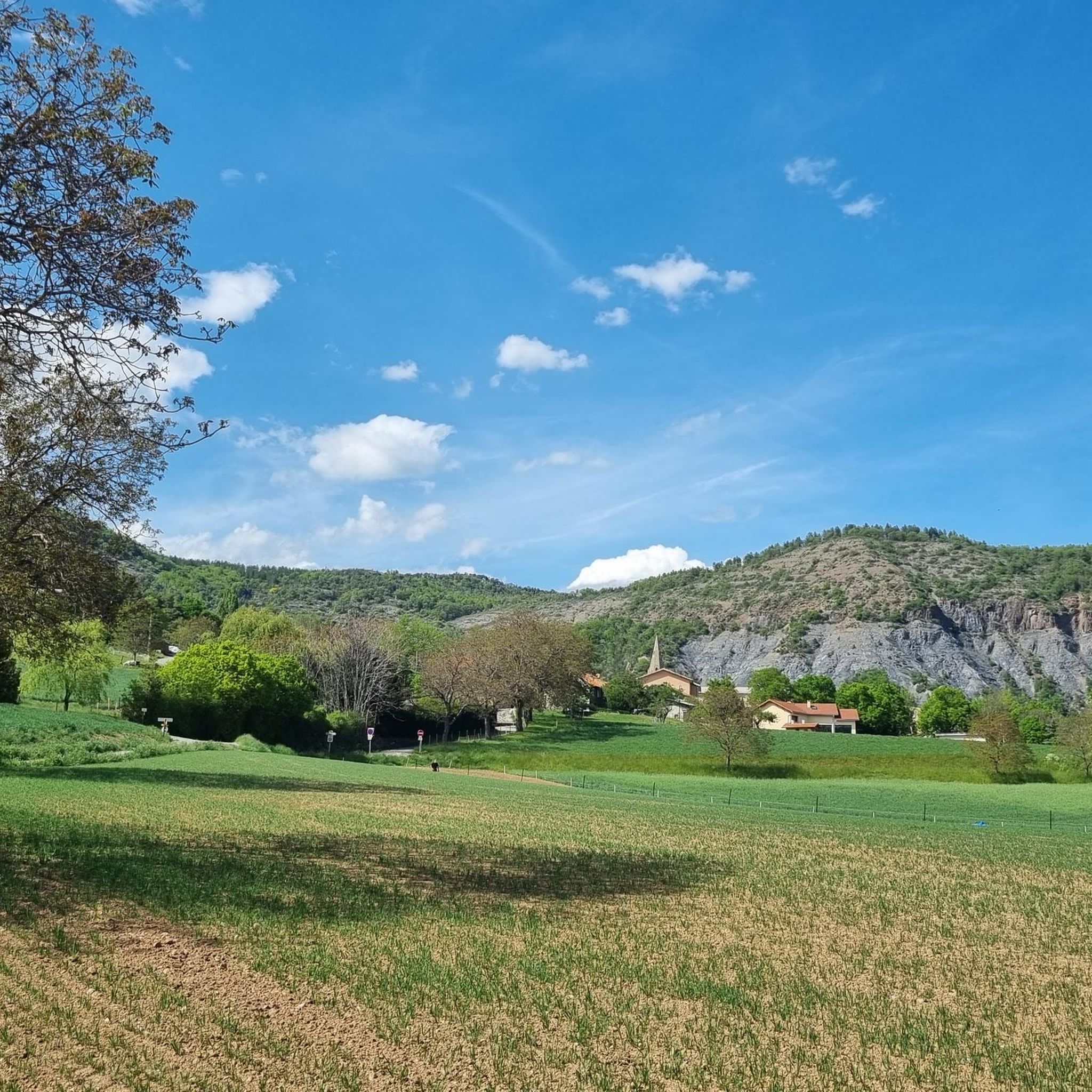
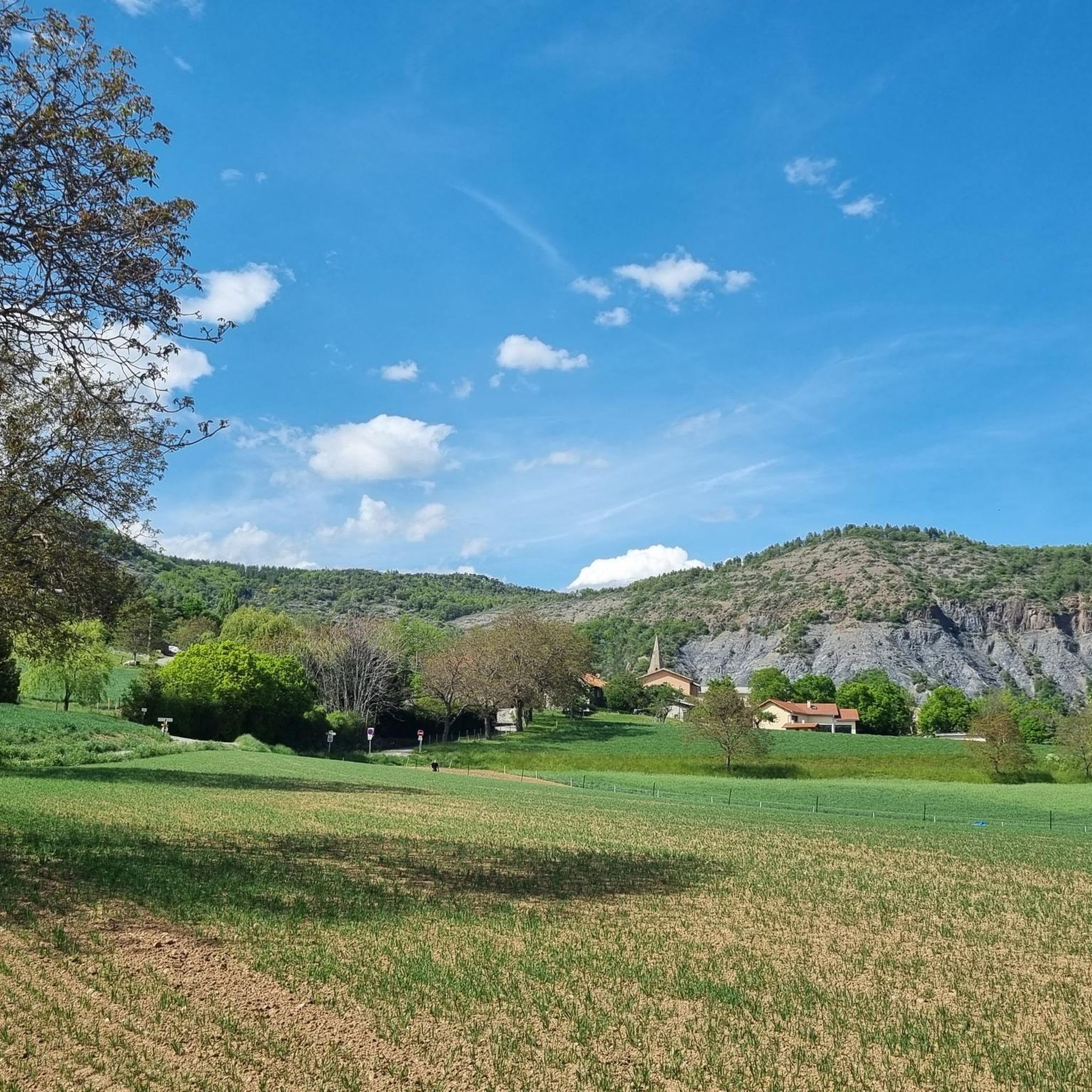
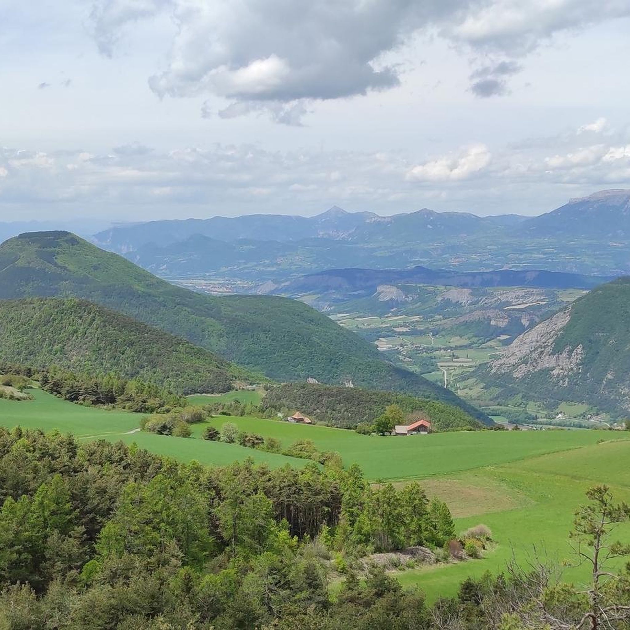
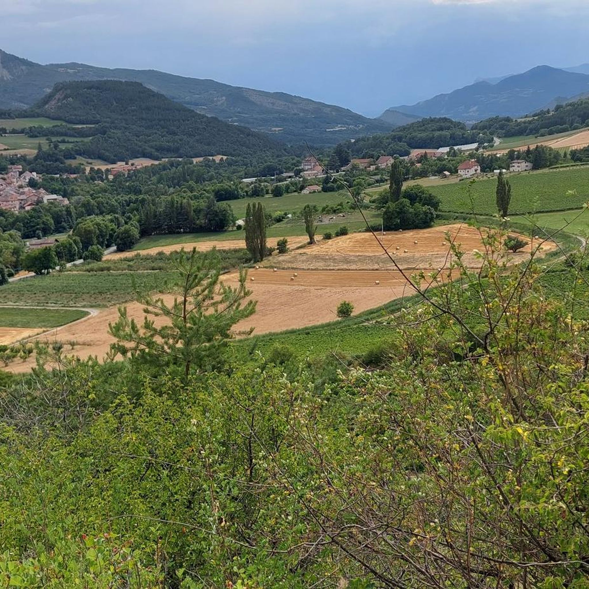
Hiking around Saint-Étienne-Le-Laus offers diverse natural landscapes within the Southern French Alps, characterized by picturesque valleys and varied terrain. The region features prominent views of the Avance and Durance valleys, alongside distinctive dry marl formations and shady forests. Notable natural features include Puy Maurel Mountain, a hill offering expansive panoramas, and the nearby Serre-Ponçon Lake, one of France's largest artificial lakes. A comprehensive network of marked trails is available for exploring this unspoiled natural setting.
Best hiking trails around Saint-Étienne-Le-Laus
…Last updated: July 8, 2026
4.6
(31)
206
hikers
9.25km
03:19
540m
550m
Moderate hike. Good fitness required. Mostly accessible paths. Sure-footedness required.
4.0
(8)
67
hikers
7.83km
02:55
490m
490m
Moderate hike. Good fitness required. Mostly accessible paths. Sure-footedness required.

Sign up for free
4.8
(5)
39
hikers
4.04km
01:09
90m
90m
Easy hike. Great for any fitness level. Easily-accessible paths. Suitable for all skill levels.
5.0
(2)
32
hikers
8.38km
02:27
230m
230m
Moderate hike. Good fitness required. Easily-accessible paths. Suitable for all skill levels.
4.9
(7)
29
hikers
8.73km
02:53
390m
390m
Moderate hike. Good fitness required. Easily-accessible paths. Suitable for all skill levels.
Get access to more routes and recommendations from other explorers.
Sign up for free
Already have an account?
Our route recommendations are based on thousands of hikes, rides, and runs completed by other people on komoot.
Start today with a free account
Your next adventure awaits.
Login or Signup

Tips from the Community

Sanctuary of Our Lady of Laus
0
0
The shorter and less difficult part of the pass, watch out for the gravel on the descent, magnificent shaded landscape towards Notre Dame du Laus
0
0
Small village with mountain bike trail and road bike route in the middle of the hilly countryside
0
0

to see for the chapel and the cross
0
0

For all those looking for a spiritual break. One of the 5 French sites of recognized Marian apparitions.
1
0
After several months of the appearance of the Virgin at Benoîte in the valley of the ovens, she no longer appeared to her for 1 month. She shows herself to her again in Pindreau and arranges to meet her in the hamlet of Laus where she will ask her to found a church and will appear to her regularly for 54 years...
0
0

Breathtaking view of the ballroom of the Demoiselles coiffées de Théus, also called "Fairy Chimneys". Belvedere with deckchairs and explanatory panels.
3
0
Frequently Asked Questions
How many hiking trails are available around Saint-Étienne-Le-Laus?
There are over 180 hiking routes available in the Saint-Étienne-Le-Laus area, catering to various skill levels. You'll find a good mix of easy, moderate, and some more challenging trails to explore the diverse landscapes of the Southern French Alps.
What do other hikers say about the trails in Saint-Étienne-Le-Laus?
The trails in Saint-Étienne-Le-Laus are highly regarded by the komoot community, boasting an average rating of 4.4 stars from over 550 reviews. Hikers often praise the panoramic valley views, the varied terrain from shady forests to dry marl, and the well-maintained paths.
Are there easy hiking trails suitable for beginners or families in Saint-Étienne-Le-Laus?
Yes, Saint-Étienne-Le-Laus offers numerous easy trails perfect for beginners and families. A great option is the Notre-Dame du Laus – Sanctuary of Our Lady of Laus loop from Gap, an easy 4 km route that explores the area around the renowned pilgrimage site. The "N.D. du Laus - Col de l'Ange" trail is also very accessible and offers beautiful views.
Are there any circular hiking routes in the region?
Many trails around Saint-Étienne-Le-Laus are designed as circular routes, allowing you to start and end at the same point. For example, the Sanctuary of Our Lady of Laus – Puy Maurel loop from Gap is a moderate 9.4 km circular path that ascends Puy Maurel for magnificent panoramic views.
What notable landmarks or natural features can I see while hiking?
The region is rich in natural beauty and historical sites. You can enjoy superb panoramic views of the Avance and Durance valleys, ascend Puy Maurel Mountain for expansive vistas, or visit the tranquil Notre-Dame du Laus Sanctuary. The nearby Serre-Ponçon Lake, one of France's largest artificial lakes, and the striking Chanteloube Viaduct are also significant highlights.
Are there any trails that offer views of Serre-Ponçon Lake?
Yes, the region around Saint-Étienne-Le-Laus is close to Serre-Ponçon Lake. While specific routes directly from Saint-Étienne-Le-Laus might not always reach the lake, many trails offer distant views, especially from higher elevations. You can also find a dedicated Lakeside Trail at Lake Serre-Ponçon for pleasant walking tours.
What is the best time of year to go hiking in Saint-Étienne-Le-Laus?
Saint-Étienne-Le-Laus benefits from a favorable climate, with over 300 days of sunshine annually. Spring and autumn offer pleasant temperatures and vibrant scenery, ideal for hiking. Summer is also popular, though some higher altitude trails might be preferable during warmer months. Winter hiking is possible, especially on lower elevation trails, but requires appropriate gear.
Are there any historical or spiritual trails in the area?
Absolutely. The region is home to the renowned Notre-Dame du Laus Sanctuary, a significant Marian pilgrimage site and a starting point for many hikes. The area is also traversed by the "Via Domitia" (GR653D), an ancient Roman road, and serves as a spiritual stage on a variant of the Camino de Santiago, offering a blend of history and spirituality.
Are dogs allowed on the hiking trails?
Generally, dogs are welcome on most hiking trails in the Saint-Étienne-Le-Laus area, provided they are kept on a leash, especially in areas with livestock or wildlife. Always ensure to clean up after your pet to preserve the natural environment for everyone.
Where can I find parking for trailheads?
Many trailheads around Saint-Étienne-Le-Laus, particularly those near the Notre-Dame du Laus Sanctuary or other popular starting points, offer designated parking areas. It's advisable to check specific route details on komoot for parking information related to your chosen trail.
Are there any trails with significant elevation gain for a more challenging hike?
Yes, for those seeking more challenging ascents, trails like the Sanctuary of Our Lady of Laus – Puy Maurel loop from Gap offer moderate difficulty with notable elevation gain, leading to magnificent panoramic views. The region's mountainous terrain provides ample opportunities for rewarding climbs.
Can I reach trailheads using public transport?
While public transport options might be limited directly to every trailhead in this rural area, the main village of Saint-Étienne-Le-Laus and nearby towns like Gap are accessible by public transport. From these points, you may need to arrange local transport or walk to reach specific starting points. Checking local bus schedules is recommended.
Most popular routes around Saint-Étienne-Le-Laus
Most popular attractions around Saint-Étienne-Le-Laus

Get inspired with the komoot mobile app


Explore more
Browse the best Hikes in other regions.
