The 4 Most Amazing Peaks around Oberschönau
Best mountain peaks around Oberschönau are found in an idyllic mountain village situated in the Thuringian Forest, offering access to several notable peaks. The village is located between 565 and 900 meters above sea level, serving as a gateway to the "Green Heart of Germany." Oberschönau is approximately 10 km from the winter sports resort of Oberhof and near the Rennsteig trail, a long-distance hiking path. The region provides diverse hiking experiences through forested landscapes and panoramic vistas.
Best mountain…
Last updated: June 23, 2026
Gustav-Freytag-Stein Shelter
Highlight • Mountain Hut
Translated by Google •
Tip by

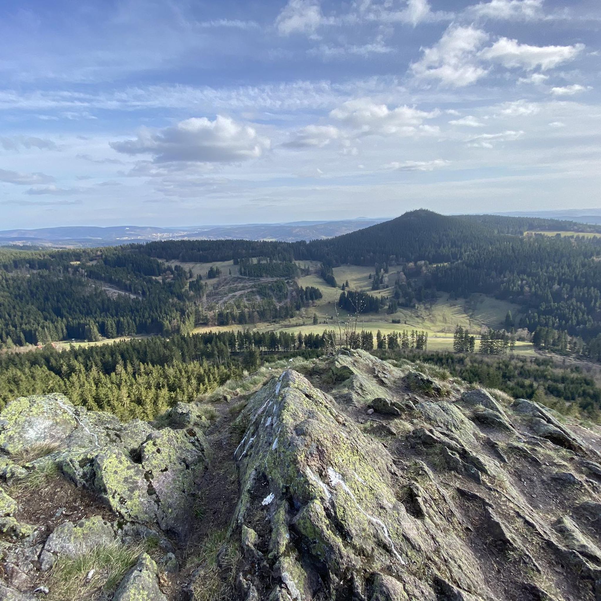
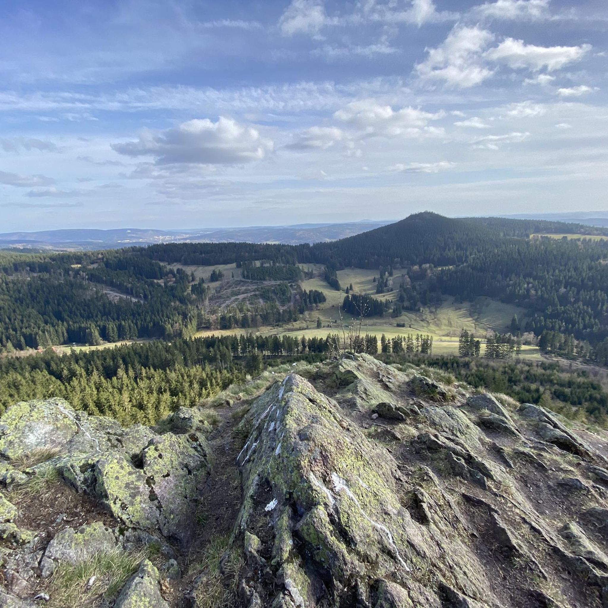
Hoher Stein Viewpoint (Touringen Stamp Point 61)
Highlight • Viewpoint
Translated by Google •
Tip by

Sign up now to discover places like this
Get recommendations on the best single tracks, peaks, & plenty of other exciting outdoor places.
Sign up for free
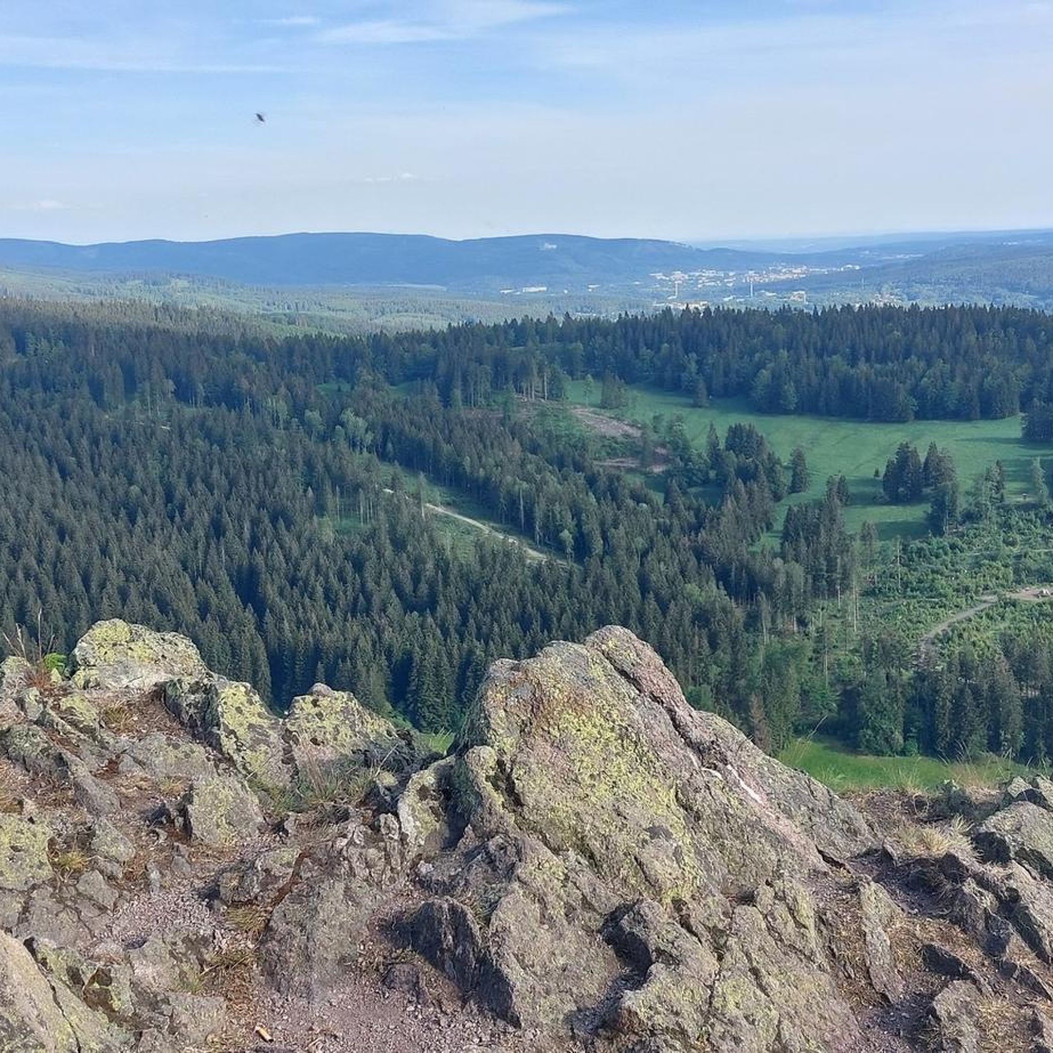
View of Oberschönau from Hohe Möst (Touringen Stamp Station No. 62)
Highlight • Viewpoint
Translated by Google •
Tip by

Kachelofen Rock Formation Memorial
Highlight • Natural Monument
is a columnar rock, right on the way.
From the rock ensemble you can see Oberschönau and the mountains opposite, although the view is somewhat obstructed …
Translated by Google •
Tip by
Donnershauk Summit
Highlight • Summit
Unfortunately no bank and no signs
Translated by Google •
Tip by

Sign up for free to discover even more peaks around Oberschönau.
Sign up for free
Already have an account?
Start today with a free account
Your next adventure awaits.
Login or Signup
Popular around Oberschönau
More than 'just' trees – Draußen in the Thuringian Forest
Spend time outdoors – active hikes in Germany’s Thuringia
Hiking around Oberschönau
Running Trails around Oberschönau
Cycling around Oberschönau
MTB Trails around Oberschönau
Road Cycling Routes around Oberschönau

Gravel biking around Oberschönau
Mountain Hikes around Oberschönau


Tips from the Community

Gustav-Freytag-Stein with a shelter, perfect for a short or longer rest. If you want to continue on the Rennsteig towards "Neue Ausspanne", we recommend the massive shelter "Am Wachenrasen", about 3 km further on.
2
0

Fantastic view, a place to enjoy!
8
0

Dear snowshoe hikers, Here are some tips so that all winter sports enthusiasts can enjoy nature: - avoid groomed trails as much as possible (if necessary, walk right to the edge, and under no circumstances trample the diagonal track) - Please do not destroy ski tracks you have made yourself - respects protected areas - take your trash home with you
2
0

Fancy Thuringia? Then discover Touringen! Touringen combines the fun of hiking with adventure and a sense of discovery. The principle is very simple: you follow the Touringen stamps and are automatically on the most beautiful hiking trails in Thuringia. Together with regional hiking trail experts, 221 stamps have been placed throughout the state for you. Discover the Touringen stamp booklets with valuable regional highlights and insiders on all tours, or simply start collecting. Diligent collectors are not only rewarded with six different badges, but also with spectacular views, legendary gorges and award-winning hiking experiences. All information at www.touringen.de
9
0

Beautiful shelter that offers a good opportunity for a rest.
3
0

The Hoher Stein am Rennsteig is a must if you are on the tour, if only because of the beautiful view, the descent on the back requires sure-footedness in bad weather.
13
1

bomb view. If the wind is strong and your feet are a bit unsteady, this should be avoided as there is no safety device. And pay special attention to the little ones
13
0

Fantastic view in the afternoon and evening sun from the summit rock. Climbing is also permitted here (rappelling eyelet on the south-eastern side above the Kanzlersgrund). Below there is a rest stop at the inn.
11
1
Frequently Asked Questions
Which mountain peaks near Oberschönau offer the best panoramic views?
For breathtaking panoramic views, consider visiting the Hoher Stein Viewpoint (Touringen Stamp Point 61), which provides almost 360° all-round visibility. Another excellent spot is the View of Oberschönau from Hohe Möst (Touringen Stamp Station No. 62), featuring two viewing balconies with wonderful vistas of Ober- and Unterschönau, the Haseltal, and neighboring mountains like Großer Hermannsberg.
Are there any historical or cultural points of interest on the mountain peaks around Oberschönau?
Yes, the Kachelofen Rock Formation Memorial is a notable site. This columnar rock serves as a memorial stone with a German Reich cross and plaques commemorating forest workers who died in the World Wars. Additionally, the Donnershauk Summit is considered a legendary mountain, with its name possibly referring to the Germanic god Donar, suggesting it may have been a place of worship.
What kind of natural features can I expect to see on the mountain peaks near Oberschönau?
The region is characterized by its rich forested landscapes within the Thuringian Forest, often referred to as the 'Green Heart of Germany.' You'll encounter striking rock formations like the Kachelofen, Katzensteine, and Kuhstein, as well as extensive views of the Rhön mountains from peaks such as Großer Hermannsberg. Many peaks are natural monuments, offering diverse flora and fauna.
Are there any shelters or huts available on the trails around Oberschönau's peaks?
Yes, the Gustav-Freytag-Stein Shelter is a well-known refuge. It's a hut located at the intersection of several trails, providing a place to take a break that is protected from snow and wind.
What hiking opportunities are available near Oberschönau's mountain peaks?
Oberschönau is a gateway to diverse hiking experiences. The legendary Rennsteig trail, a famous long-distance path, passes about 3 km from the village. You can find numerous routes, including circular walks, that lead to various peaks and viewpoints. For specific hiking routes, you can explore the Hiking around Oberschönau guide, which features trails like the 'Hohe Möst Viewpoint – View from Hoher Stein loop'.
What is the Großer Hermannsberg and how can I access it?
The Großer Hermannsberg is a prominent mountain near Oberschönau, standing at 867 meters high. It offers extensive views and well-maintained hiking paths. You can access its summit from Oberschönau or the Kanzlersgrund via the Oberschönau Hiking Hut, or from the Fuhrmannswiese pasture. The summit features viewing rocks with steps hewn from the rock and a safety cable for ascent. More information can be found on Wikipedia.
Are there family-friendly hiking options among the mountain peaks near Oberschönau?
While specific trails are not explicitly marked as 'family-friendly' in all cases, many routes leading to viewpoints and shelters are suitable for various skill levels. The Gustav-Freytag-Stein Shelter is categorized as family-friendly, suggesting that the trails leading to it are generally accessible for families. Always check the difficulty ratings of individual routes before embarking.
What do visitors particularly enjoy about the mountain peaks around Oberschönau?
Visitors frequently praise the spectacular views, especially the almost 360° visibility from places like the Hoher Stein Viewpoint. The panoramic vistas from Hohe Möst are also highly recommended. Many appreciate the well-maintained trails and the opportunity to experience the rich forested landscapes of the Thuringian Forest.
Can I find running trails near the mountain peaks of Oberschönau?
Yes, the area around Oberschönau offers various running trails. You can find options ranging from easy to difficult. For detailed routes, refer to the Running Trails around Oberschönau guide, which includes routes like the 'Grenzadler Oberhof – Gustav-Freytag-Stein Shelter loop'.
What is the significance of the Rennsteig trail in relation to Oberschönau's peaks?
The Rennsteig trail is a famous long-distance hiking path in the Thuringian Forest, passing approximately 3 km from Oberschönau. While not a single peak itself, it traverses numerous elevated areas and offers many scenic viewpoints, providing diverse hiking experiences that connect to several of the region's notable mountains and highlights.
Are there any challenging climbs or trails for experienced hikers?
Yes, some trails leading to viewpoints like the Hoher Stein Viewpoint are described as 'challenging' or requiring 'sure-footedness,' especially in bad weather. The ascent to the summit of Großer Hermannsberg also involves steps hewn from rock and a safety cable, indicating a more adventurous experience. Always check trail conditions and difficulty ratings.
Most popular routes around Oberschönau
Most popular attractions around Oberschönau

Get inspired with the komoot mobile app


Explore more
See even more amazing summits around Oberschönau with these guides:
