The best road cycling routes around Oberschönau
4.7
(124)
2,670
riders
99
rides
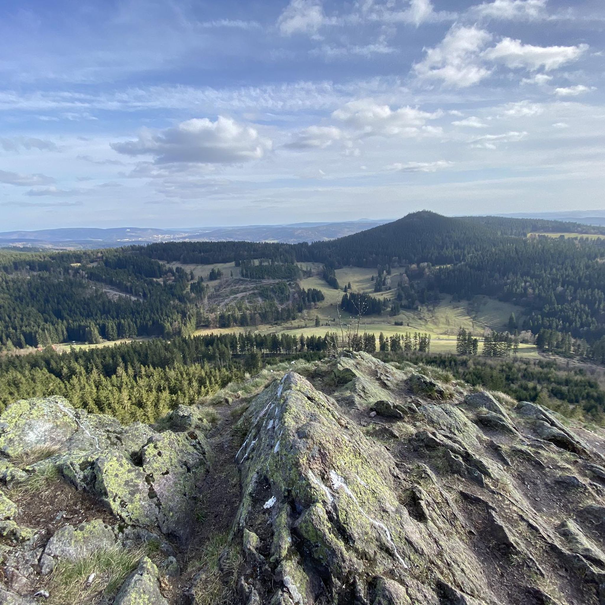
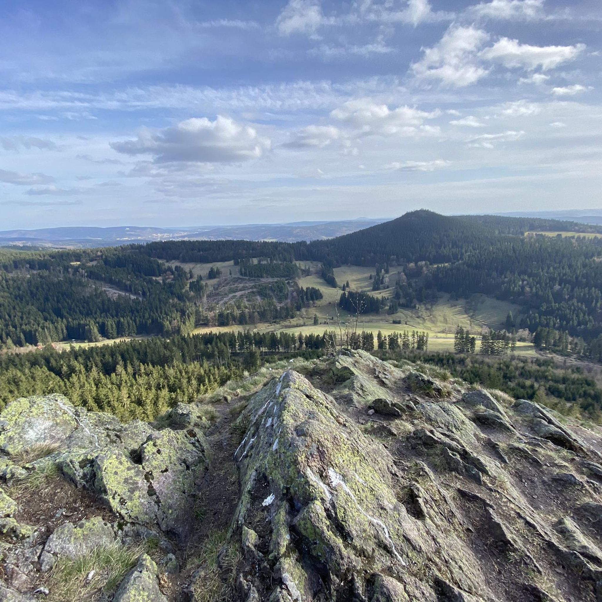
Road cycling around Oberschönau offers routes through a natural park in Landkreis Schmalkalden-Meiningen. The region is characterized by its hilly terrain and dense forests, providing varied elevation profiles for road cyclists. Many routes feature significant elevation gains, indicating a landscape with ascents and descents suitable for challenging rides. The area's natural setting provides a backdrop for road cycling activities.
Best road cycling routes around Oberschönau
- The most popular road cycling route is Ski lift at Bikepark Oberhof – Oberhof Cycle…
Last updated: July 9, 2026
4.5
(13)
188
riders
Moderate road ride. Good fitness required. Some segments of this route may be unpaved and difficult to ride.
5.0
(5)
63
riders
48.5km
02:23
730m
730m
Moderate road ride. Good fitness required. Mostly well-paved surfaces and easy to ride.

Sign up for free
4.5
(4)
61
riders
40.6km
01:53
490m
490m
Moderate road ride. Good fitness required. Some segments of this route may be unpaved and difficult to ride.
15
riders
100km
04:43
1,210m
1,210m
Hard road ride. Very good fitness required. Some segments of this route may be unpaved and difficult to ride.
5.0
(1)
10
riders
41.3km
02:19
830m
830m
Moderate road ride. Good fitness required. Mostly well-paved surfaces and easy to ride.
Get access to more routes and recommendations from other explorers.
Sign up for free
Already have an account?
Our route recommendations are based on thousands of hikes, rides, and runs completed by other people on komoot.
Start today with a free account
Your next adventure awaits.
Login or Signup
Popular around Oberschönau



Tips from the Community

Nice climb! Low traffic and good tarmac
0
0

Comfortable pass ride with moderate gradients.
0
0
Comfortable pass ride, the gradient is kept well within limits.
0
0


highly recommended, a really beautiful museum.
1
0

Beautiful climb in the forest (without ramps), on a side road, to Oberhof.
0
0
Frequently Asked Questions
How many road cycling routes are available around Oberschönau?
There are over 100 road cycling routes in the Oberschönau area, offering a wide range of options for different skill levels. This includes 6 easy routes, 49 moderate routes, and 47 difficult routes, ensuring there's a suitable ride for nearly every cyclist.
Are there any beginner-friendly road cycling routes in Oberschönau?
Yes, Oberschönau offers 6 easy road cycling routes suitable for beginners. These routes typically feature less challenging terrain and elevation, allowing new cyclists to enjoy the scenic natural park setting without excessive difficulty.
What are some challenging road cycling routes for experienced riders?
For experienced road cyclists seeking a challenge, Oberschönau has 47 difficult routes. An example is the View of the ski jump – View of Hoher Stein loop from Schützenbergmoor, which spans over 100 km with significant elevation gain, offering a demanding ride through the hilly terrain.
Are there road cycling routes that offer scenic viewpoints?
Many routes in Oberschönau provide excellent viewpoints due to the region's hilly landscape. For instance, the Kehltal Valley – Valley view from the Schmücke loop from Schützenbergmoor traverses the Kehltal Valley and offers scenic views from the Schmücke. You can also find the Hoher Stein Viewpoint along some routes.
What kind of terrain can I expect on road cycling routes in Oberschönau?
Road cycling routes around Oberschönau are characterized by hilly terrain and dense forests within a natural park setting. You can expect varied elevation profiles with numerous ascents and descents, providing a dynamic and engaging riding experience.
Are there any loop road cycling routes around Oberschönau?
Yes, many road cycling routes in Oberschönau are designed as loops. For example, the popular Ski lift at Bikepark Oberhof – Oberhof Cycle Path loop from Schützenbergmoor is a 61.1 km circular trail. Another option is the Oberhof Bike Park Chairlift – Rennsteig Station loop from Schützenbergmoor, a 40.6 km loop through hilly terrain.
What do other road cyclists think about the routes in Oberschönau?
The road cycling routes in Oberschönau are highly regarded by the komoot community, with an average rating of 4.7 stars from over 110 reviews. Cyclists often praise the varied terrain, the beautiful natural park setting, and the challenging elevation profiles.
Are there any places to stop for refreshments or shelter along the routes?
Yes, the region offers several huts and shelters that can serve as resting points or for refreshments. Notable options include the Thuringian Hut, Wachsenrasen Stone Shelter, and the Waldgasthof Ski and Hiking Lodge.
What is the best time of year for road cycling in Oberschönau?
Given the hilly terrain and dense forests, spring, summer, and early autumn generally offer the best conditions for road cycling in Oberschönau. These seasons provide milder weather and vibrant natural scenery, though specific conditions can vary. Always check local weather forecasts before heading out.
Are there any historical or natural landmarks to explore near the road cycling routes?
Beyond the cycling itself, you can explore several landmarks. The Gustav-Freytag-Stein Shelter is a notable point, and you might encounter the Memorial stone to the air battle in the Second World War. The European Long-Distance Trail E3 (Rennsteig Section) also passes through the area, offering a glimpse into a historic trail.
How long do road cycling routes typically take in Oberschönau?
The duration of road cycling routes in Oberschönau varies significantly based on distance and elevation. Moderate routes like the Ski lift at Bikepark Oberhof – Oberhof Cycle Path loop from Schützenbergmoor can take around 3 hours 16 minutes, while longer, more difficult routes can extend to 4 hours 42 minutes or more.
Most popular routes around Oberschönau
Most popular attractions around Oberschönau

Get inspired with the komoot mobile app


Explore more
Browse the best Road cycling routes in other regions.
