The best gravel rides around Étang De Llat
4.7
(6)
73
riders
1
ride
Gravel biking around Étang De Llat offers routes through the rugged terrain of the Pyrénées, characterized by high-mountain landscapes and diverse environments. The region features dense pine forests, majestic mountains, and scenic valleys, providing a challenging experience for cyclists. Terrain varies from firm paths to rough sections with rocks, loose gravel, sand, clay, and boulder deposits, particularly on steeper inclines. Continuous elevation gain is a consistent element across the area's gravel bike trails.
Best gravel bike trails around Étang De…
Last updated: July 8, 2026
5.0
(1)
2
riders
15.6km
01:07
300m
300m
Moderate gravel ride. Good fitness required. Mostly paved surfaces. Suitable for all skill levels.
4.0
(3)
14
riders
21.9km
01:31
290m
290m
Moderate gravel ride. Good fitness required. Mostly paved surfaces. Suitable for all skill levels.

Sign up for free
5.0
(1)
2
riders
Hard gravel ride. Very good fitness required. Mostly paved surfaces. Suitable for all skill levels.
5.0
(2)
8
riders
Hard gravel ride. Very good fitness required. You may need to push your bike for some segments of this route.
31
riders
16.7km
01:03
150m
150m
Moderate gravel ride. Good fitness required. Mostly paved surfaces. Suitable for all skill levels.
Our route recommendations are based on thousands of hikes, rides, and runs completed by other people on komoot.
Start today with a free account
Your next adventure awaits.
Login or Signup
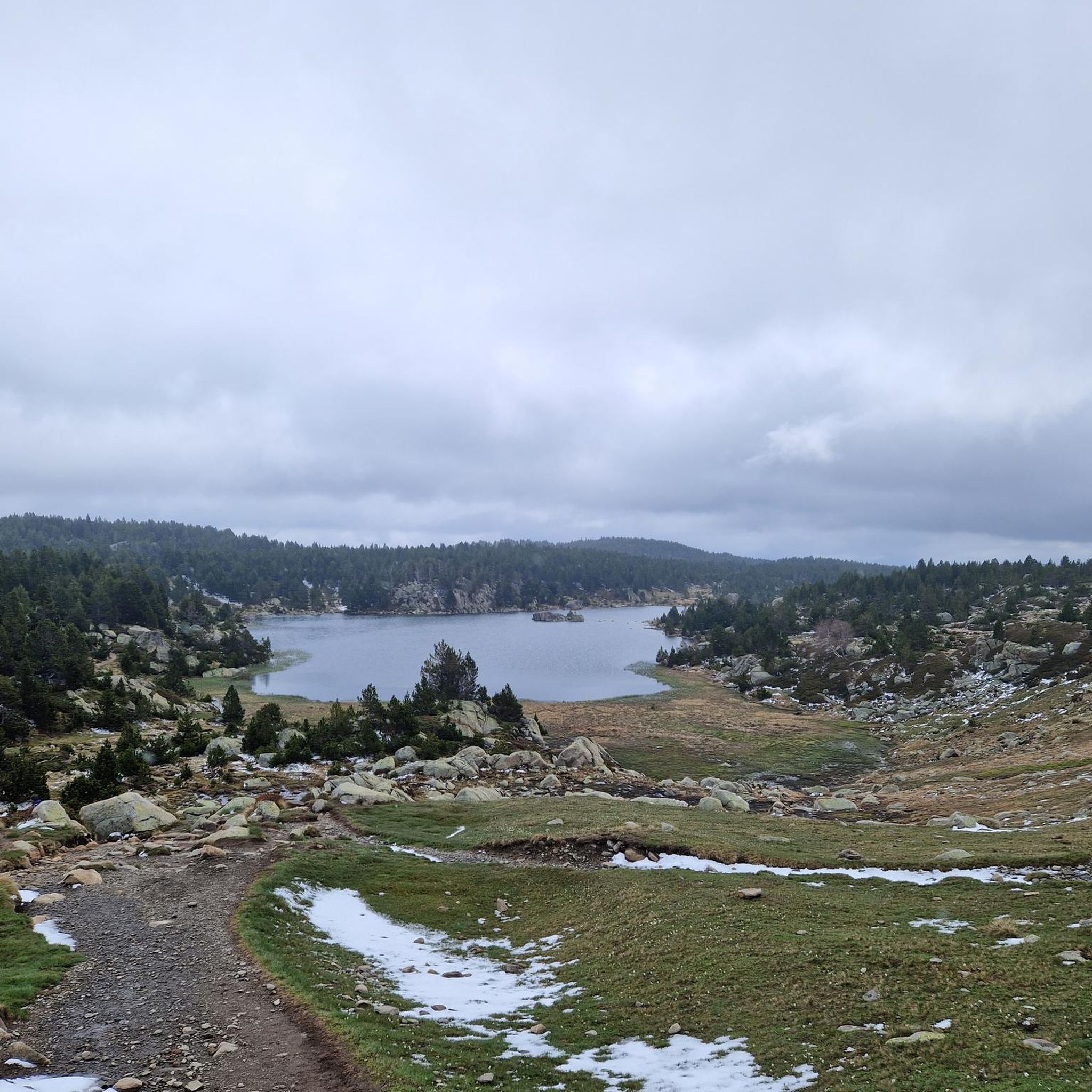
Tips from the Community

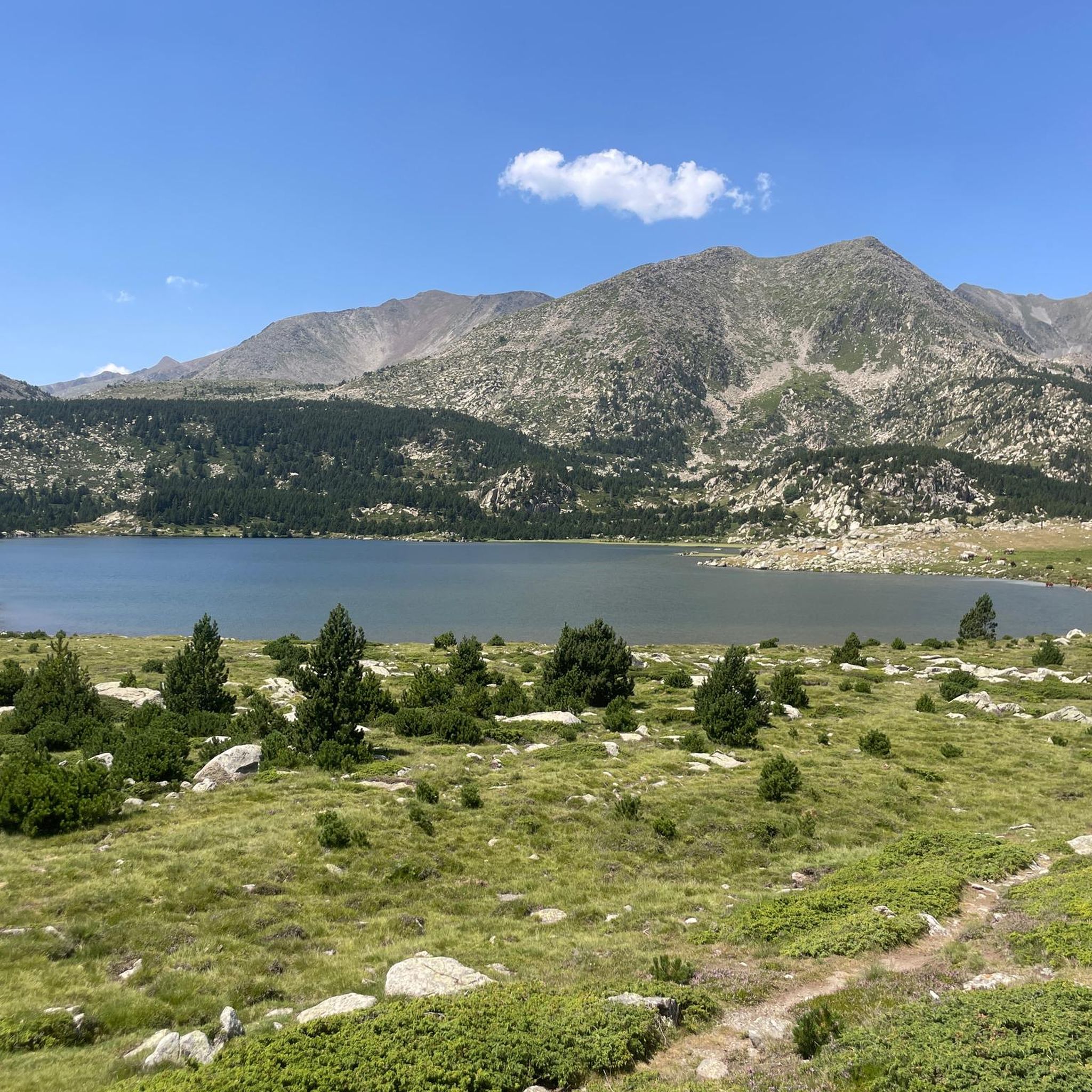
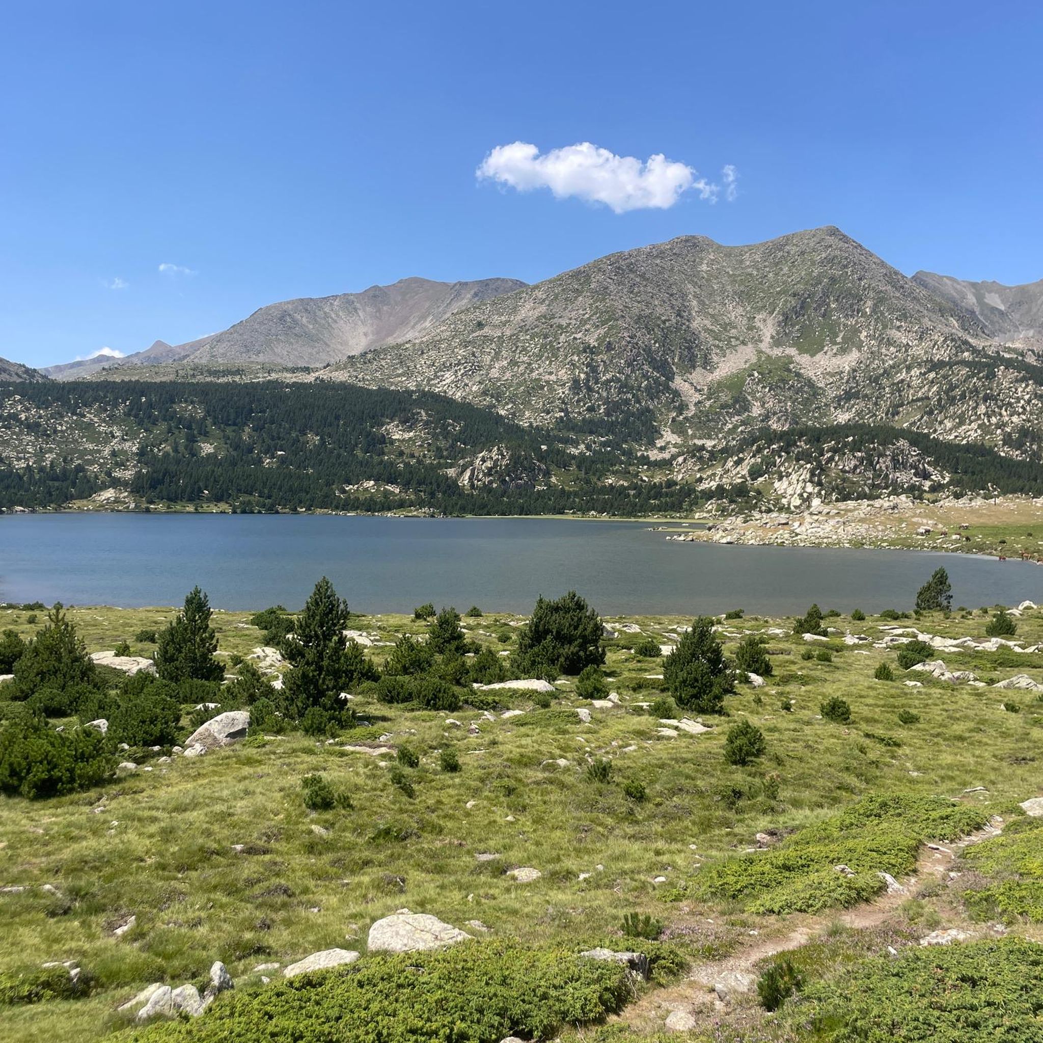
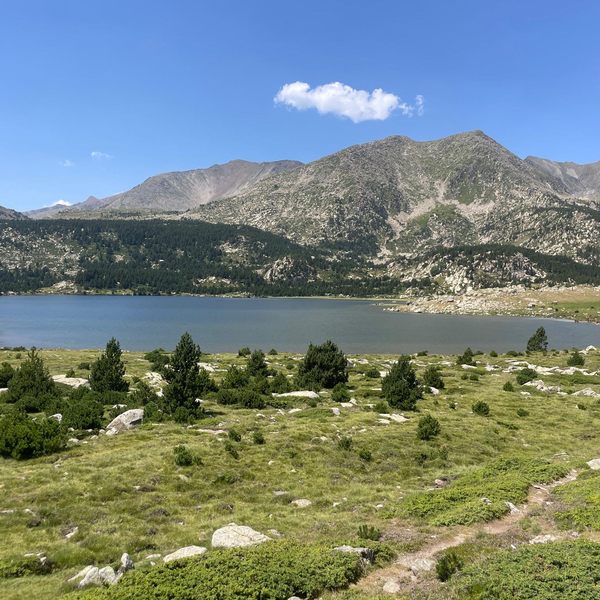
The Matemale lake is located in the middle of the Capcir plateau. The color of its waters captures the attention and creates a desire: to get closer and perhaps take a dip. The lake is developed, and a equipped leisure base opens onto its shores. An ideal stopover.
0
0


Xco/enduro tracks in summer from black to green
0
0

Tricky passages with fun flow
0
0

Lake Matemale with its beautiful beaches is located at an altitude of 1500 metres and therefore the water is between 19 and 23°.
1
1


Well, starting from Font Romeu and breaking legs from Mont Louis
0
0

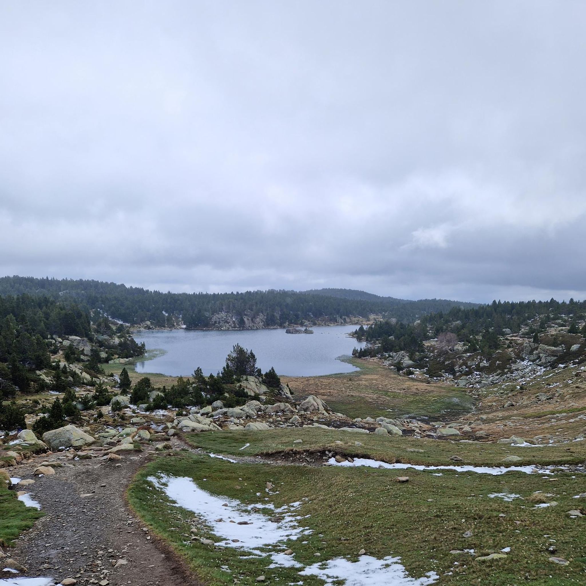
Estany de la Pradella, also called the pond or lake of Pradeilles, is a beautiful mountain lake in the Pyrénées-Orientales. A superb setting for cycling in the heart of nature.
0
0
Frequently Asked Questions
What is the typical terrain like for gravel biking around Étang De Llat?
The terrain in the Étang De Llat area is characteristic of the rugged Pyrénées. You can expect varied surfaces, from firm forest tracks and mountain roads to rougher sections with rocks, loose gravel, sand, clay, and boulder deposits, especially on steeper inclines. Continuous elevation gain is a consistent feature across the region's gravel bike trails.
Are there challenging gravel biking routes with significant elevation gain?
Yes, the region is known for its demanding tracks and significant elevation changes. For example, the Col du Calvaire (Font-Romeu) – Estany de la Pradella loop from Font-Romeu-Odeillo-Via is a difficult route with over 600 meters of elevation gain, offering a challenging experience for experienced gravel cyclists.
What kind of natural features can I expect to see along the gravel trails?
The routes around Étang De Llat traverse high-mountain landscapes, dense pine forests, and scenic valleys. As a glacial lake, Étang De Llat itself is nestled amidst stunning Pyrenean vistas. You'll encounter diverse flora and fauna typical of the Catalan Pyrenees.
Are there any circular gravel bike routes available?
Yes, many routes are designed as loops. A popular moderate circular route is the Lake Balcère – Vallsera Church Ruins loop from Lac de Balcère, which covers 15.6 km and takes you through varied Pyrenean landscapes.
What do other gravel bikers enjoy most about the trails in this area?
The gravel biking routes around Étang De Llat are highly rated by the komoot community, with an average score of 4.2 stars from over 4 reviews. Riders often praise the immersive high-mountain landscapes, the challenging elevation gains, and the diverse terrain that provides a rewarding experience.
Is there public transport available to reach the gravel biking areas?
While the region is quite remote, some starting points for routes, like Font-Romeu-Odeillo-Via, might be accessible by regional public transport. However, direct public transport to the immediate vicinity of Étang De Llat itself is limited due to its high-mountain location. It's advisable to check local transport schedules for specific starting points.
Where can I find parking for gravel biking near Étang De Llat?
Many gravel routes start from accessible points where parking is typically available. For instance, routes originating from Lac de Balcère or Pla de la Creu usually have designated parking areas nearby. It's recommended to check the specific route details on komoot for parking information at the trailhead.
What is the best time of year for gravel biking around Étang De Llat?
The best time for gravel biking in the high-mountain environment of Étang De Llat is generally from late spring to early autumn (roughly June to September). During these months, the weather is more stable, and trails are less likely to be affected by snow or ice, which can be present at higher altitudes outside this period. Always check local weather conditions before heading out.
Are there any family-friendly gravel bike trails in the area?
While many routes feature continuous elevation gain and varied terrain, some moderate paths might be suitable for families with older, more experienced children. The Lake Matemale – Lake Matemale loop from Les Angles is a moderate 16.7 km route with less elevation gain compared to others, which could be a good option for a family outing.
Can I bring my dog on the gravel bike trails around Étang De Llat?
Generally, dogs are welcome on many outdoor trails in the Pyrénées, but it's crucial to keep them under control, especially in areas with livestock or protected wildlife. Always check local regulations for specific trails or natural parks, and ensure your dog is fit enough for the challenging terrain and elevation.
How many gravel bike trails are available in the Étang De Llat region?
There are several gravel bike trails available in the Étang De Llat region, offering a range of experiences. Komoot lists multiple routes, including moderate and difficult options, allowing you to choose based on your skill level and desired challenge.
Are there any routes that connect remote villages?
Yes, many gravel biking routes in the broader Pyrenean region, including those around Étang De Llat, are designed to traverse forest tracks and mountain roads that connect remote villages. These routes offer a chance to explore the cultural as well as natural landscape of the area.
What is the difficulty level of gravel biking around Étang De Llat?
Gravel biking around Étang De Llat ranges from moderate to difficult. The region is characterized by continuous elevation gain and varied surfaces, including rough sections with rocks and loose gravel. Routes like the Col du Calvaire (Font-Romeu) – Sheepfold of the Jasse d'Amunt loop from Font-Romeu-Odeillo-Via are considered difficult due to significant climbs.
Most popular routes around Étang De Llat

Get inspired with the komoot mobile app


Explore more
Browse the best Gravel rides in other regions.
