Top 5 Mountain Passes around Montgreleix
Mountain passes around Montgreleix are situated within the Cézallier region, an elevated landscape known for its vast summer pastures and panoramic views. This area, located between the Puy-de-Dôme and Cantal departments, offers diverse terrain for outdoor activities. Visitors can explore high-altitude trails and discover traditional agricultural landscapes. The region provides an experience of traversing elevated terrains with expansive scenery.
Best mountain passes around Montgreleix
- The most popular mountain passes is Chamaroux Pass, a mountain pass that is 2.6 km…
Last updated: June 26, 2026
Volpilière Pass
Highlight • Viewpoint
Translated by Google •
Tip by

Col de Chamaroux
Highlight • Mountain Pass
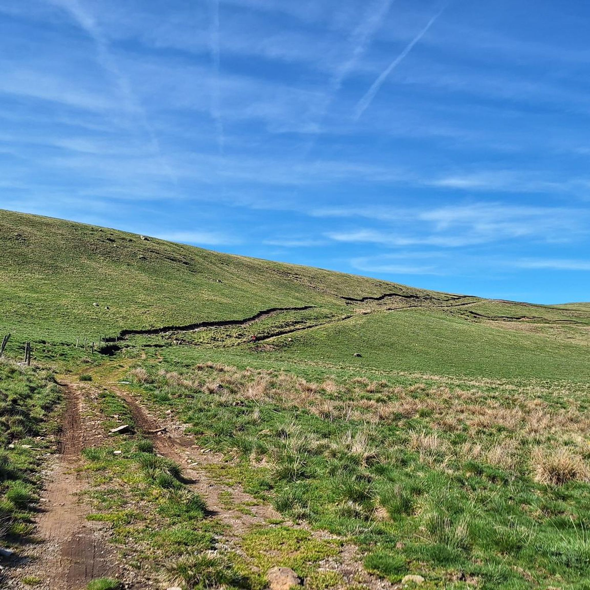
It is glaciers that planed this ancient volcanic massif, which takes you to Scotland and Mongolia, without you having to take a plane.
Translated by Google •
Tip by

Sign up now to discover places like this
Get recommendations on the best single tracks, peaks, & plenty of other exciting outdoor places.
Sign up for free
Col de Montgreleix (1238 m)
Highlight • Mountain Pass
Translated by Google •
Tip by
Chamaroux Pass
Highlight • Mountain Pass
Translated by Google •
Tip by

Col de Vestizoux (1317 m)
Highlight • Mountain Pass
Translated by Google •
Tip by
Sign up for free to discover even more mountain passes around Montgreleix.
Sign up for free
Already have an account?
Start today with a free account
Your next adventure awaits.
Login or Signup
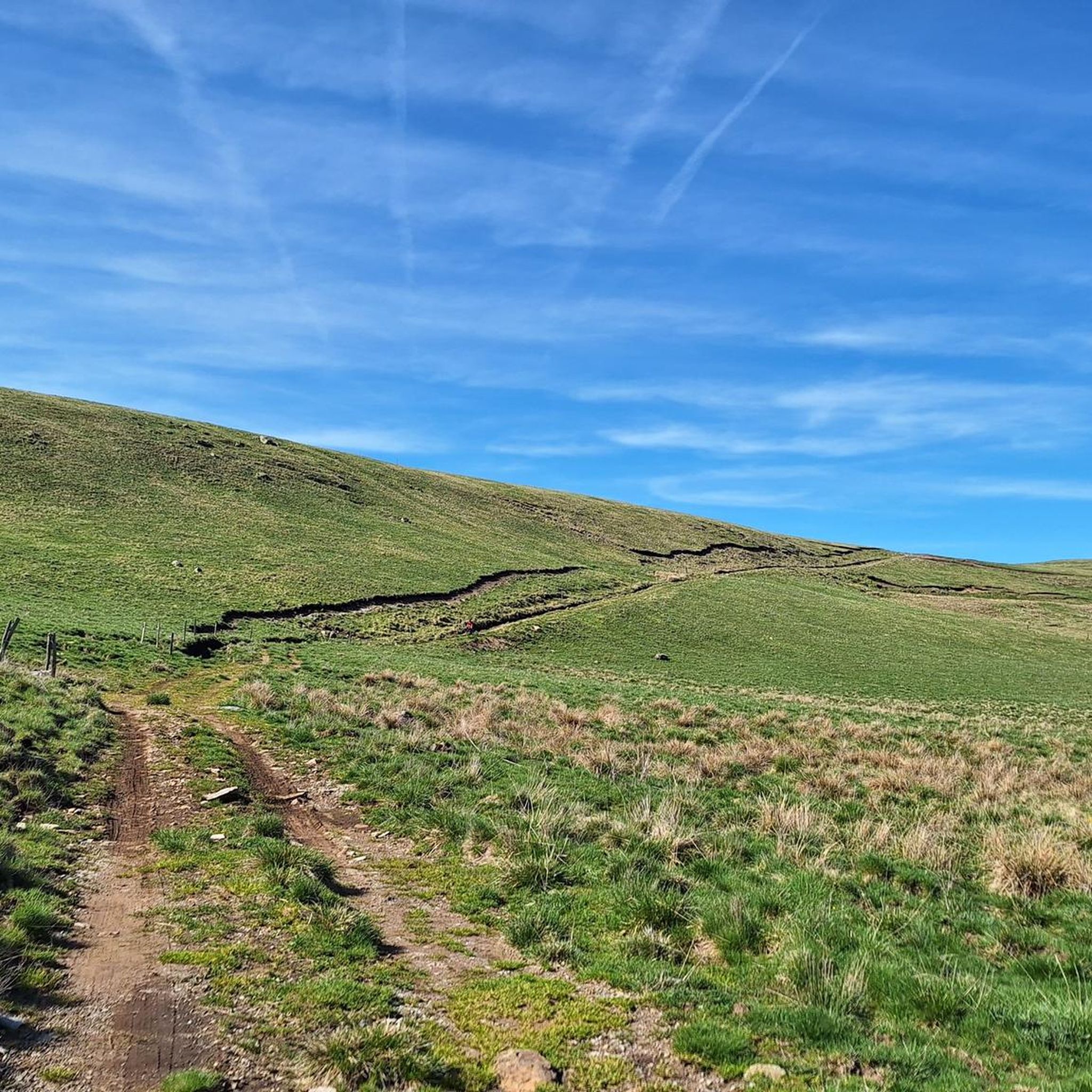
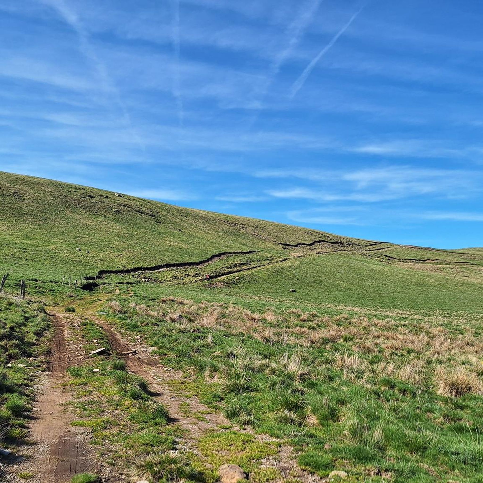
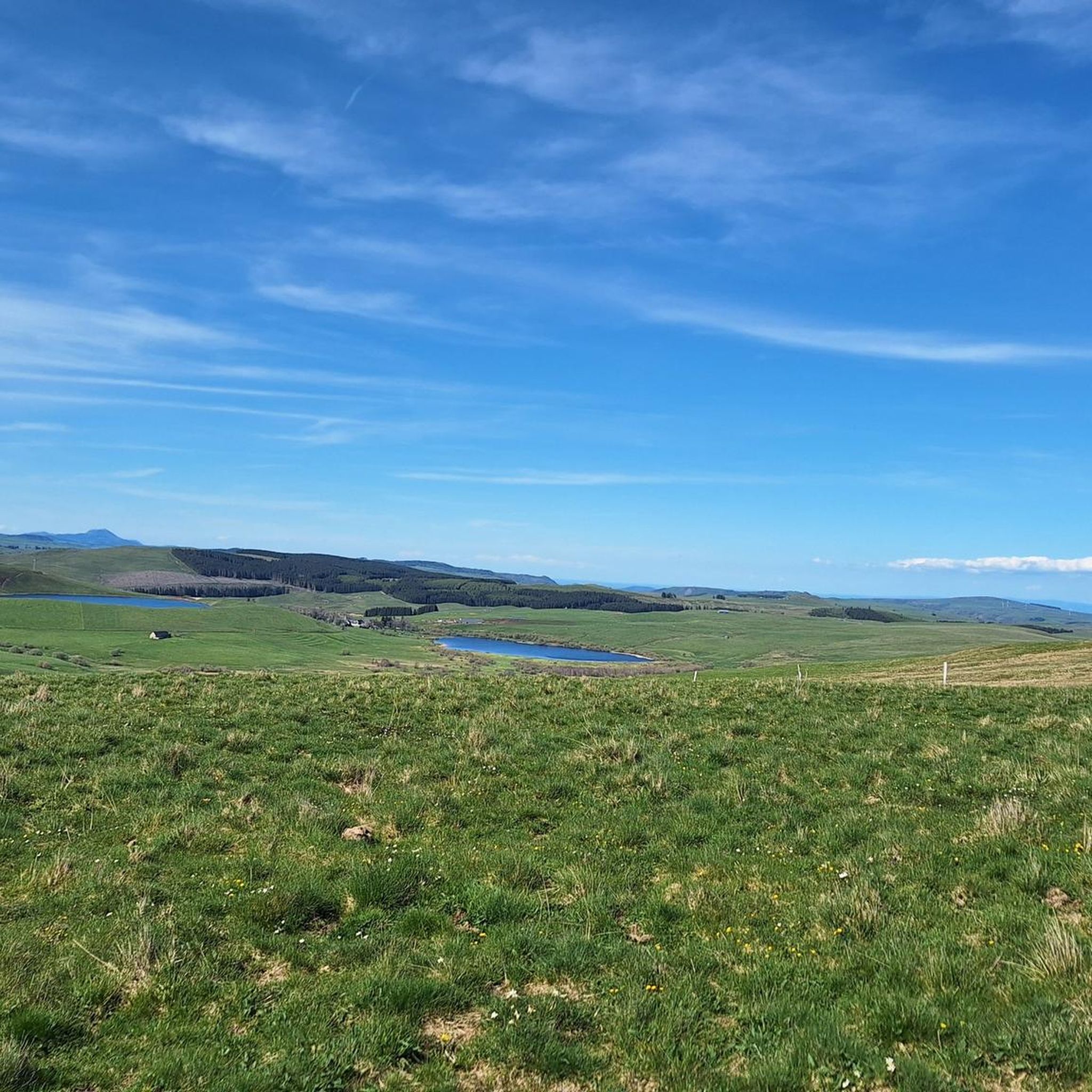
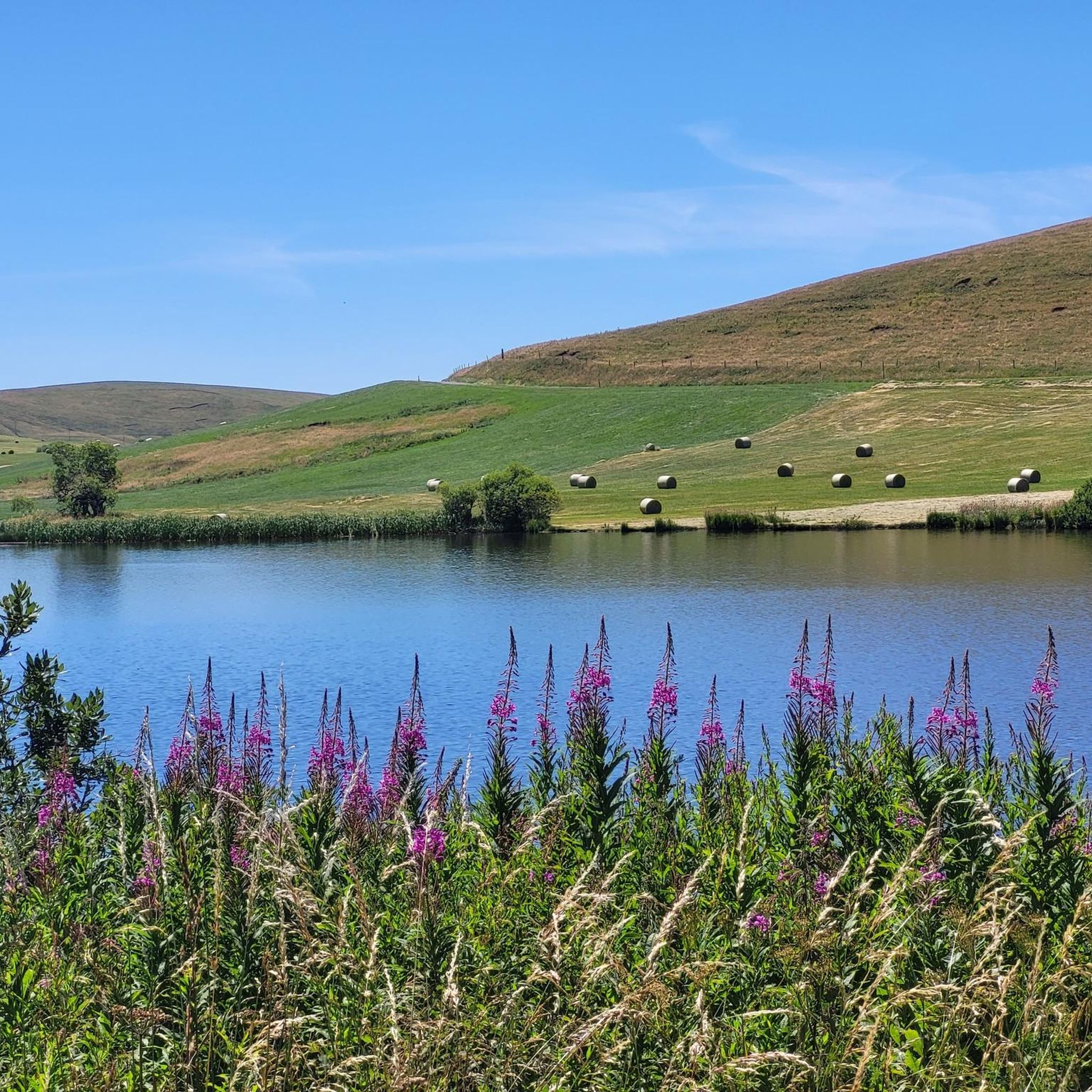
Tips from the Community

very pretty pass typical of Cezallier
1
0
Pleasant and fairly easy. Beautiful route.
0
0

Not too difficult, I did it on a mountain bike.
0
0

Beautiful Cézalier pass with a view of the Sancy massif
0
0

The Col de Chamaroux de Boutaresse is 2.6 km long with a total drop of 63 m. The average gradient is 2.4% with maximum gradients of 6.9%.
3
0

Car-free roads to fully enjoy a beautiful bike route
0
0

Located next to Saint Alyre Es Montagne, the top of the pass offers us a view of Le Mont Chabrut and Le Luguet. The highest point is 1227 meters above sea level. This climb is 16.6 kilometers long, for an elevation gain of 628 meters. Col de la Volpilière from Ardes has an average gradient of 3.8%.
0
0
Frequently Asked Questions
What are some notable mountain passes to explore around Montgreleix?
The Cézallier region around Montgreleix offers several distinctive elevated points. You can visit Volpilière Pass, which provides views of Le Mont Chabrut, Le Luguet, and the Sancy massif. Another option is Col de Montgreleix (1238 m), known for its challenging climb. For cyclists, Col de Vestizoux (1317 m) is the highest road pass in Cézallier.
What kind of views can I expect from the mountain passes in the Cézallier region?
The mountain passes in the Cézallier region are renowned for their exceptional panoramic views. From points like Col de Chamaroux, you can experience vast summer pastures, rolling hills, and distant mountain ranges, including the Sancy massif. The landscape often evokes a sense of openness, similar to the Scottish or Mongolian highlands.
Are there any unique natural features or legends associated with the passes?
Yes, Mont Chamaroux, a prominent elevated point, stands at 1476 meters. It's known for its distinct vegetation where lower slopes are green, but the summit lacks grass. Legend has it that residual heat from an ancient volcano beneath the surface causes rapid snow melting and prevents grass growth at the top, adding a mystical element to the visit.
What outdoor activities are popular around the mountain passes near Montgreleix?
The elevated landscapes around Montgreleix are ideal for various outdoor activities. You can enjoy extensive hiking, mountain biking, and road cycling. The region's quiet roads and scenic trails make it perfect for exploring on two wheels or by foot. For more details on routes, check out the Cycling around Montgreleix or MTB Trails around Montgreleix guides.
Are there specific hiking trails that traverse the elevated landscapes of Montgreleix?
Absolutely. Montgreleix is a stopover village on the multi-day hiking trail known as the Tour des Vaches Rouges (or Tour du Cézallier). This trail winds through high-altitude pastures, offering an immersive experience into the pastoral beauty and traditional agricultural landscape, complete with historic 'burons' (shepherd huts). You can find more hiking options in the Hiking around Montgreleix guide.
What is the best time of year to visit the mountain passes around Montgreleix?
The Cézallier region is particularly beautiful during the summer months when the vast pastures are green and cattle, sheep, and horses graze. This is an ideal time for hiking, cycling, and enjoying the expansive views. While winter offers a different, snow-covered landscape, many trails and passes may be less accessible or require specialized gear.
Are there any easy or beginner-friendly mountain passes for cycling or hiking?
For cyclists, Chamaroux Pass is considered a pleasant and fairly easy route, with an average gradient of 2.4% and maximum gradients of 6.9% over 2.6 km. It's described as a very quiet road, suitable even for mountain biking. For hiking, many sections of the Cézallier offer rolling hills that can be enjoyed by beginners, though specific 'easy' passes are not explicitly defined.
Can I find cafes or amenities near the mountain passes?
While the Cézallier region is known for its vast, open spaces and natural beauty, amenities like cafes are typically found in the villages and towns surrounding the passes, such as Montgreleix itself or other stopover points along trails like the Tour des Vaches Rouges. It's advisable to carry sufficient supplies when venturing into the higher, more remote areas.
What do visitors enjoy most about the mountain passes and elevated areas near Montgreleix?
Visitors frequently appreciate the tranquility and the breathtaking panoramic views from the elevated points. The sense of expanse and the opportunity for rewarding climbs are often highlighted. Cyclists enjoy the quiet roads and pleasant routes, while hikers value the immersive experience into the pastoral beauty and traditional agricultural landscapes, often comparing the scenery to Scotland or Mongolia.
Are the mountain passes and trails around Montgreleix suitable for families?
The Cézallier region offers a peaceful environment with fresh air and stunning natural beauty, making it suitable for family outings. While some climbs like Col de Montgreleix (1238 m) are more challenging, there are many easier sections and circular walks, particularly on the lower slopes and within the vast pastures, that families can enjoy. Always check specific route details for difficulty before heading out.
Are there options for mountain biking on the passes?
Yes, mountain biking is a popular activity in the region. Chamaroux Pass, for instance, is noted as suitable for mountain biking due to its quiet roads and manageable gradients. The Cézallier's diverse terrain, with its rolling hills and trails, provides ample opportunities for mountain bikers. You can explore various routes in the MTB Trails around Montgreleix guide.
What is the highest road pass in the Cézallier region?
The highest road pass in the Cézallier region is Col de Vestizoux (1317 m). Located in Puy-de-Dôme, it offers a scenic route for cyclists, with manageable climbs from both Boutaresse and Le Luguet.
Most popular routes around Montgreleix
Most popular attractions around Montgreleix

Get inspired with the komoot mobile app


Explore more
See even more epic mountain passes by checking out these guides around Montgreleix:
