The best traffic-free bike rides around Montgreleix
4.9
(5)
72
riders
8
rides
Gravel biking around Montgreleix offers access to the unique volcanic landscapes of the Cézallier massif in the Auvergne region. The area is characterized by high-altitude plateaus, vast summer pastures, and undulating terrain, providing extensive opportunities for no traffic gravel bike trails. Riders can expect a diverse network of tracks and less-trafficked roads, often passing through preserved natural environments. The region's volcanic past has shaped a varied topography, making it suitable for adventurous gravel cycling.
Best no traffic gravel bike trails…
Last updated: August 30, 2026
4.5
(2)
16
riders
61.4km
04:13
1,140m
1,150m
Hard gravel ride. Very good fitness required. Mostly paved surfaces. Suitable for all skill levels.
5.0
(1)
7
riders
38.0km
02:29
710m
710m
Hard gravel ride. Very good fitness required. Mostly paved surfaces. Suitable for all skill levels.

Sign up for free
5.0
(1)
10
riders
57.8km
04:04
1,090m
1,090m
Hard gravel ride. Very good fitness required. Mostly paved surfaces. Suitable for all skill levels.
5.0
(1)
7
riders
123km
08:29
2,350m
2,350m
Hard gravel ride. Very good fitness required. Mostly paved surfaces. Suitable for all skill levels.
3.0
(1)
3
riders
27.9km
01:55
460m
460m
Hard gravel ride. Very good fitness required. Mostly paved surfaces. Suitable for all skill levels.
Get access to more routes and recommendations from other explorers.
Sign up for free
Already have an account?
Our route recommendations are based on thousands of hikes, rides, and runs completed by other people on komoot.
Start today with a free account
Your next adventure awaits.
Login or Signup
Popular around Montgreleix

Tips from the Community

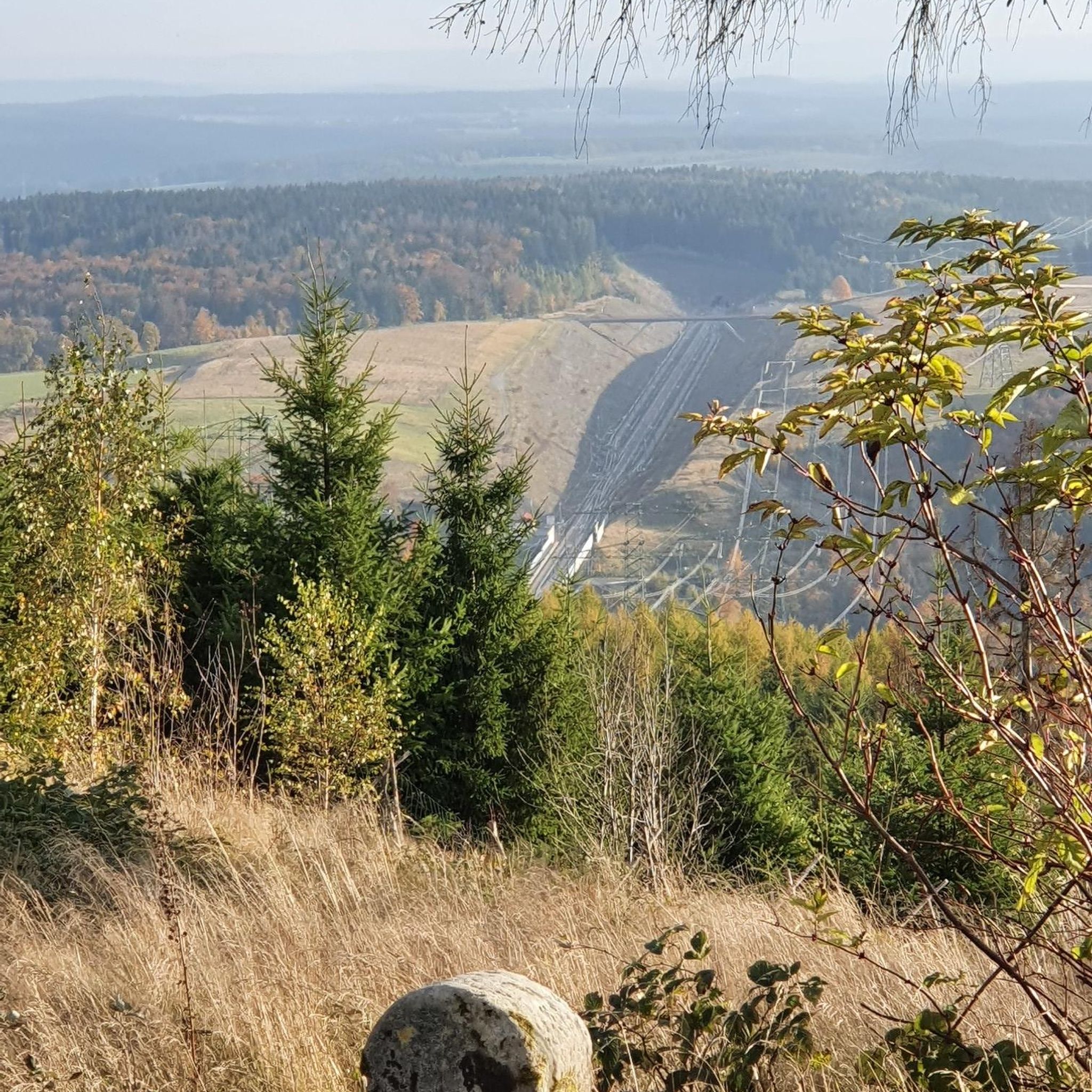
Very beautiful route The Volcanoes
0
0

The view is magnificent and the path is smooth.
0
0

Not too difficult, I did it on a mountain bike.
0
0


Superb climb on gravel path. Nestled in the middle of green expanses, this path offers a breathtaking panorama!
0
0
Frequently Asked Questions
How many no-traffic gravel bike trails are available around Montgreleix?
There are 8 dedicated no-traffic gravel bike trails around Montgreleix, offering a range of experiences from moderate to difficult. These routes allow you to explore the Cézallier massif's unique landscapes away from vehicle traffic.
What kind of terrain can I expect on gravel bike trails in the Montgreleix area?
The Montgreleix area, part of the Cézallier massif, features diverse volcanic terrain. You'll encounter vast summer pastures, undulating high-altitude plateaus, and rolling tracks. The region is known for its wild beauty, with elevations typically between 1,200 and 1,500 meters, offering varied and engaging gravel routes.
Are there any family-friendly gravel biking options near Montgreleix?
While many routes in the area are rated moderate to difficult due to distance and elevation, shorter, less technical sections can be found. For a more relaxed, unique family experience, consider the Vélorail du Cézallier, which offers pedal-powered carts on disused railway lines, providing a different way to explore the scenic surroundings.
Can I bring my dog on the gravel bike trails around Montgreleix?
Many trails in the Cézallier massif are suitable for dogs, especially if they are accustomed to long distances and varied terrain. However, please be mindful of grazing livestock, particularly Salers and Aubrac cows, in the extensive summer pastures from May to October. Always keep your dog under control and respect local regulations regarding protected wildlife areas.
What are some notable natural attractions or landmarks I can see along the gravel routes?
The region is rich in natural beauty. You can discover stunning viewpoints like the View of Mont Chamaroux and the Cézallier mountains or Volpilière Pass. There are also beautiful waterfalls such as Cascade des Veyrines and Saillant Waterfall, and tranquil lakes like Lac Chauvet. The charming village of La Godivelle is also a highlight.
Are there any circular gravel routes available from Montgreleix or nearby villages?
Yes, many of the gravel routes in the area are circular. For example, the challenging Fortunier Pass – Montée Paillasseyre loop from Pradiers offers a substantial ride, or you could try the La Godivelle – Chamaroux Pass loop from La Godivelle for another scenic option.
What is the best time of year for gravel biking in Montgreleix?
The best time for gravel biking in Montgreleix is typically from late spring to early autumn (May to October). During these months, the high-altitude pastures are vibrant, and the weather is generally more favorable. The Cézallier massif is known for its summer pastures, making it particularly scenic when the Salers and Aubrac cows are grazing.
Where can I find parking or trailhead access for these no-traffic gravel routes?
Many routes start from villages surrounding Montgreleix, such as Pradiers, La Godivelle, Landeyrat, or La Motte. These villages typically offer public parking facilities, providing convenient access to the trailheads. Always check the specific route details for recommended starting points.
What do other gravel bikers enjoy most about the Montgreleix area?
The Montgreleix area is highly rated by the komoot community, with an average score of 4.0 stars. Reviewers often praise the region's tranquil and wild environment, the sense of solitude on the vast high-altitude plateaus, and the stunning panoramic views, especially from spots like Mont Chamaroux.
Are there any shorter, moderate gravel routes for those looking for a less strenuous ride?
Yes, for a moderate option, consider the Chamaroux Pass – La Godivelle loop from La Motte. This route covers 27.2 km with a manageable elevation gain, offering a taste of the Cézallier's beauty without the full challenge of the longer, more difficult trails.
What makes the Cézallier massif unique for gravel biking compared to other parts of Auvergne?
The Cézallier massif, often called the 'little Scotland of Auvergne,' stands out with its expansive, undulating high-altitude plateaus and vast summer pastures, distinct from the more dramatic peaks of the Sancy and Cantal massifs. It offers a preserved, wild character with a robust network of tracks and less-trafficked roads, ideal for a serene gravel biking experience.
Is public transport an option to reach the starting points of gravel trails near Montgreleix?
Public transport options directly to the smaller villages like Montgreleix and surrounding trailheads can be limited. It is generally recommended to travel by car to access the starting points in villages such as Pradiers, La Godivelle, or Landeyrat, where parking is usually available. For broader regional information, you might find resources on France Vélo Tourisme.
Most popular routes around Montgreleix
Most popular attractions around Montgreleix

Get inspired with the komoot mobile app


Explore more
Browse the best Gravel rides in other regions.
