The best mountain hikes around Artalens-Souin
4.7
(6)
46
hikers
5
hikes
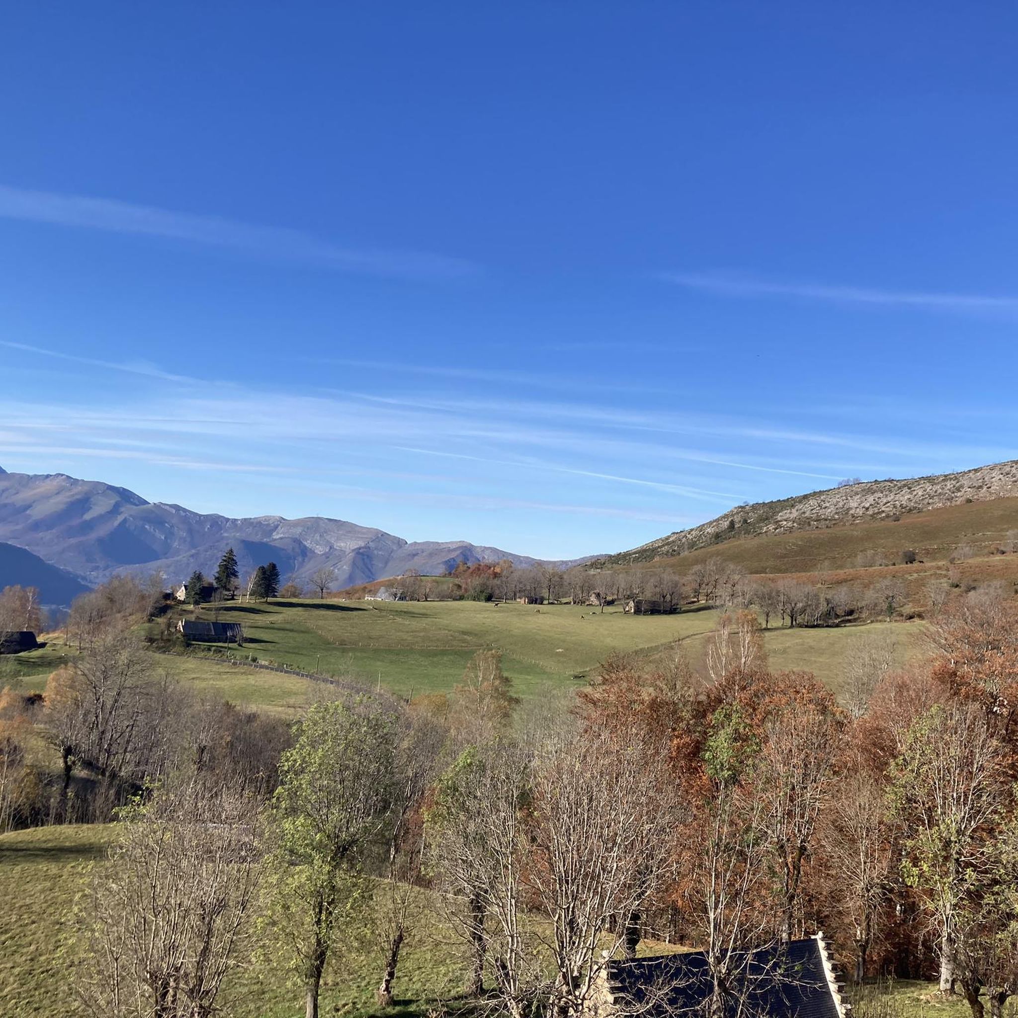
Mountaineering around Artalens-Souin offers a diverse landscape characterized by prominent mountain peaks, high cols, and alpine lakes, providing varied terrain for exploration. The region features significant elevation changes, with routes traversing both open mountain slopes and forested sections. This area, nestled within the Pyrenees, presents a challenging yet rewarding environment for mountaineers seeking elevation and panoramic views.
Best mountaineering routes around Artalens-Souin
- The most popular mountaineering route is Lac d'Ourrec loop from Le Chiroulet, a 9.5 miles (15.3 km)…
Last updated: October 11, 2026
5.0
(1)
14
hikers
15.1km
06:02
1,140m
1,140m
Hard mountaineering route. Very good fitness required. Easily-accessible paths. Suitable for all skill levels.
4.5
(2)
11
hikers
11.8km
04:25
790m
790m
Moderate mountaineering route. Good fitness required. Easily-accessible paths. Suitable for all skill levels.

5.0
(1)
7
hikers
11.3km
04:10
730m
730m
Moderate mountaineering route. Good fitness required. Easily-accessible paths. Suitable for all skill levels.
5
hikers
6.38km
02:25
400m
400m
Moderate mountaineering route. Good fitness required. Mostly accessible paths. Sure-footedness required.
3
hikers
10.2km
04:04
500m
500m
Hard mountaineering route. Good fitness required. Sure-footedness, sturdy shoes and alpine experience required.
Our route recommendations are based on thousands of hikes, rides, and runs completed by other people on komoot.
Start today with a free account
Your next adventure awaits.
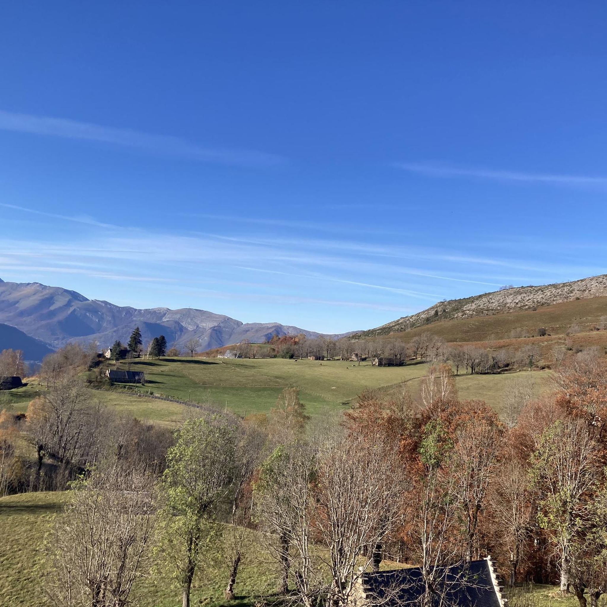
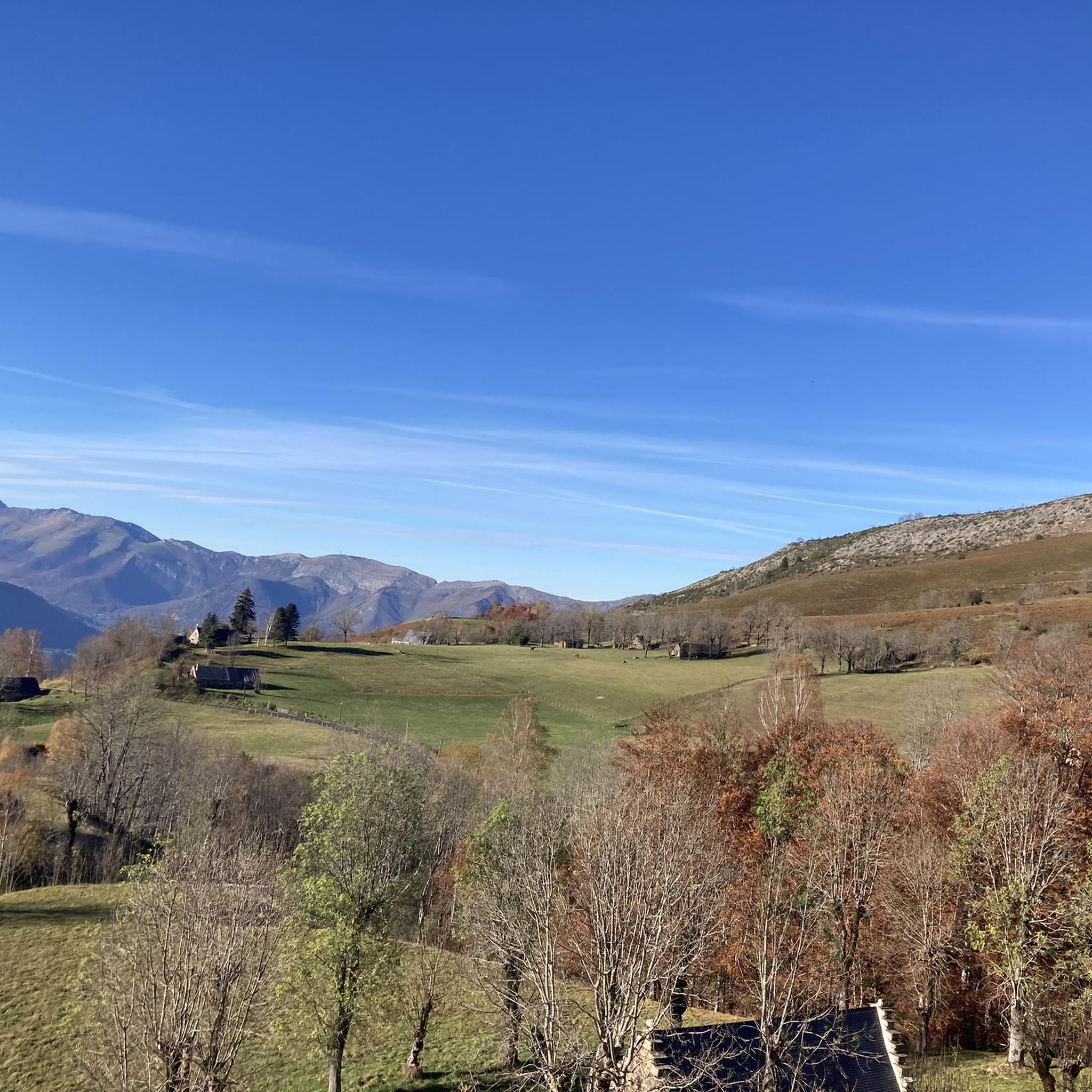
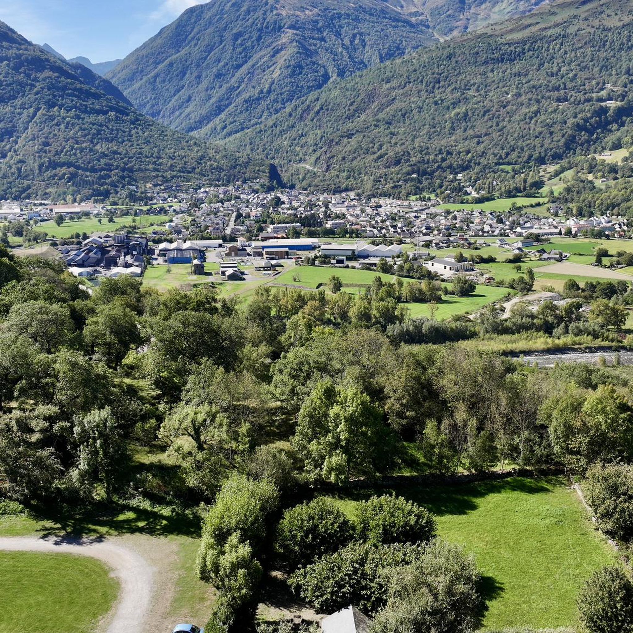
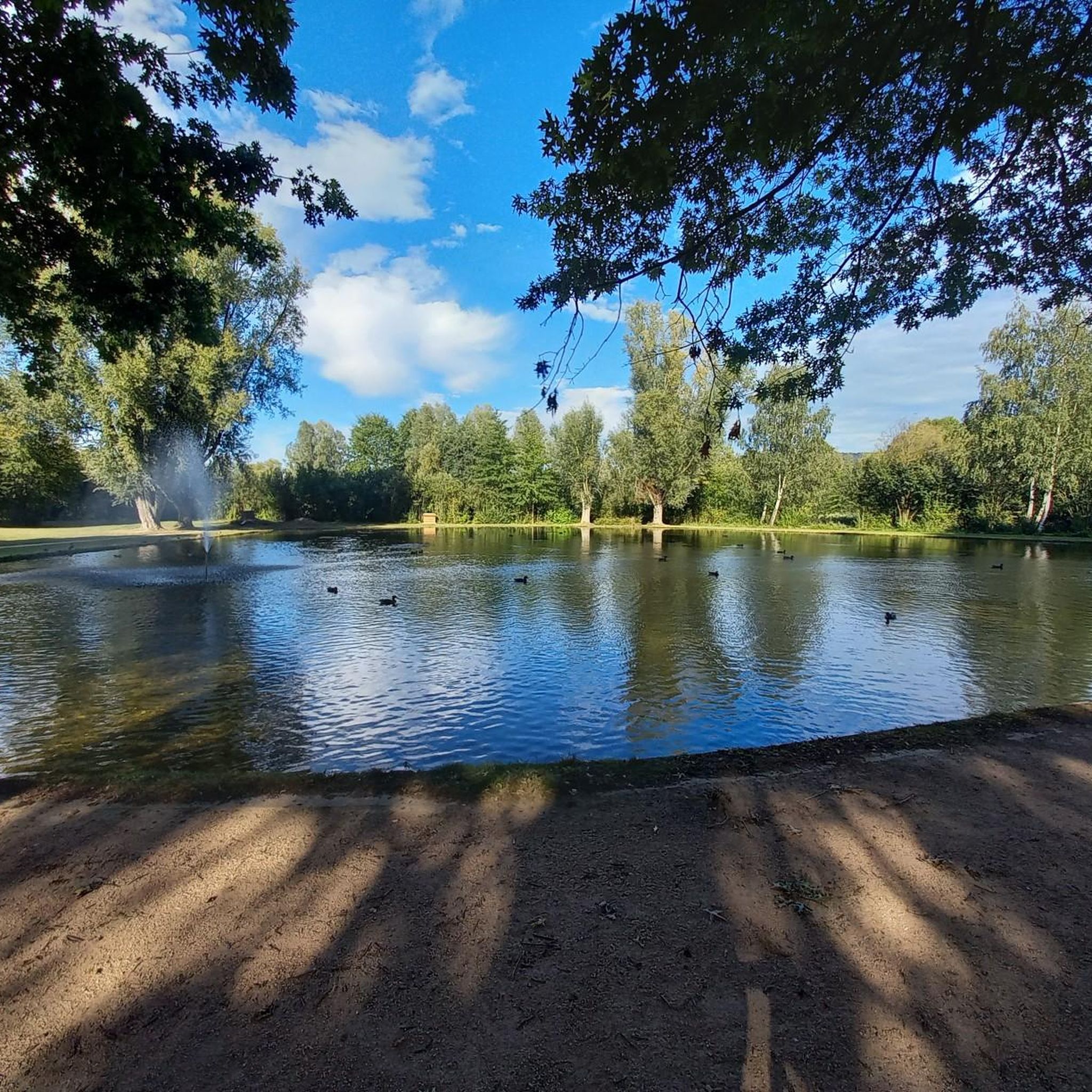

Tips from the Community

magnificent lake that lives up to its name, to admire in all seasons.
0
0

For your information, historically this was the arrival station for the cable car. It operated until the installation of the television and radio relay. After a storm, it's not uncommon for the relay to go into standby mode. TDF has a contract that runs from Monday to Friday. In case of a power outage, the weekend is reserved for reading or playing board games.
0
0

The climb to the peak requires good physical condition. You should also bring enough water as there are not many shaded sections.
0
0


A beautiful, quiet pass. Easily accessible by mountain bike from Bederet. The trail from here to Cauterets is a dream. A must-do if you're in the area!
0
0

viewpoint over the valley of the gift de pau.
1
0


Arras-en-Lavedan is a typical mountain village located in the heart of the Val d'Azun. Nestled in the hollow of the valley, the village has all the amenities for a stopover.
0
0
Frequently Asked Questions
What is the overall difficulty level of mountaineering routes around Artalens-Souin?
The mountaineering routes in Artalens-Souin are generally suited for experienced individuals. The area features a mix of moderate and difficult trails, with significant elevation changes and varied mountain terrain. There are no easy routes listed in this guide, indicating a focus on more challenging ascents.
Are there any circular mountaineering routes available in Artalens-Souin?
Yes, many of the mountaineering routes around Artalens-Souin are circular, allowing you to start and end at the same point. Examples include the challenging Lac d'Ourrec loop from Le Chiroulet, the moderate Pic du Pibeste – Col des Portes loop from Ouzous, and the Mount de Gez loop from Arras-en-Lavedan.
What kind of natural landmarks can I expect to see along the mountaineering routes?
The routes around Artalens-Souin offer stunning natural features. You can encounter prominent summits like Mount de Gez, Alian Peak, and Cabaliros Peak. There are also picturesque alpine lakes, such as Lake Isaby, and various mountain passes like Riou Pass, offering expansive views.
What is the best time of year for mountaineering in Artalens-Souin?
The Pyrenees, where Artalens-Souin is located, are generally best for mountaineering from late spring through early autumn (June to September). During these months, snowmelt has typically cleared higher trails, and weather conditions are more stable. Always check local weather forecasts and trail conditions before heading out, as mountain weather can change rapidly.
Are there any specific permits required for mountaineering in this area?
Generally, no specific permits are required for day mountaineering trips in the Artalens-Souin area of the Pyrenees. However, if your route enters a protected natural park or involves overnight stays in designated areas, it's always wise to check with local authorities or park information centers for any specific regulations or permits that might apply.
Are there any routes suitable for beginners or families with young children?
The mountaineering routes listed in this guide for Artalens-Souin are primarily classified as moderate to difficult, with significant elevation gains. As such, they are generally not recommended for beginners or families with young children who are new to mountaineering. These trails require a good level of fitness and experience in mountain environments.
What do other mountaineers say about the routes in Artalens-Souin?
The mountaineering routes in Artalens-Souin are highly regarded by the komoot community, holding an average rating of 4.8 stars from 7 reviews. Users often praise the challenging ascents, the rewarding panoramic views from peaks like Pic du Pibeste, and the serene beauty of alpine lakes such as Lac d'Ourrec.
Where can I find parking for the mountaineering trails?
Parking availability varies by trailhead. For instance, the Lac d'Ourrec loop typically starts from Le Chiroulet, which has designated parking areas. Routes like the Pic du Pibeste – Col des Portes loop often begin from villages like Ouzous, where public parking might be available. It's advisable to check specific trailhead information or local village guides for detailed parking instructions before your trip.
Are there any particularly challenging routes for experienced mountaineers?
For experienced mountaineers seeking a challenge, the Lac d'Ourrec loop from Le Chiroulet is a difficult 9.5-mile trail with over 1100 meters of elevation gain. Another demanding option is the Pic de Viscos – Col de Riou loop from Luz-Ardiden, which also presents a significant ascent and takes around 4 hours to complete.
Can I bring my dog on the mountaineering routes in Artalens-Souin?
While many trails in the Pyrenees are dog-friendly, specific regulations can apply, especially within national parks or protected areas. It's always best to check local signage at trailheads or consult with the regional tourist office regarding dog restrictions, particularly concerning leash laws and access to certain natural reserves. Ensure your dog is well-behaved and capable of handling challenging mountain terrain.
How many mountaineering routes are covered in this guide for Artalens-Souin?
This guide features 5 distinct mountaineering routes around Artalens-Souin, offering a selection of moderate to difficult trails for exploration.
Are there any routes that offer views of multiple peaks or mountain passes?
Yes, several routes provide expansive views of the surrounding peaks and passes. For instance, the Pic du Cabaliros loop from La Tucoy offers vistas towards Cabaliros Peak, while the Pic du Pibeste – Col des Portes loop provides panoramic views across the valleys from Alian Peak and the Col des Portes.
Most popular routes around Artalens-Souin
Most popular attractions around Artalens-Souin

Get inspired with the komoot mobile app


Explore more
Browse the best Mountain Hikes & Routes in other regions.
